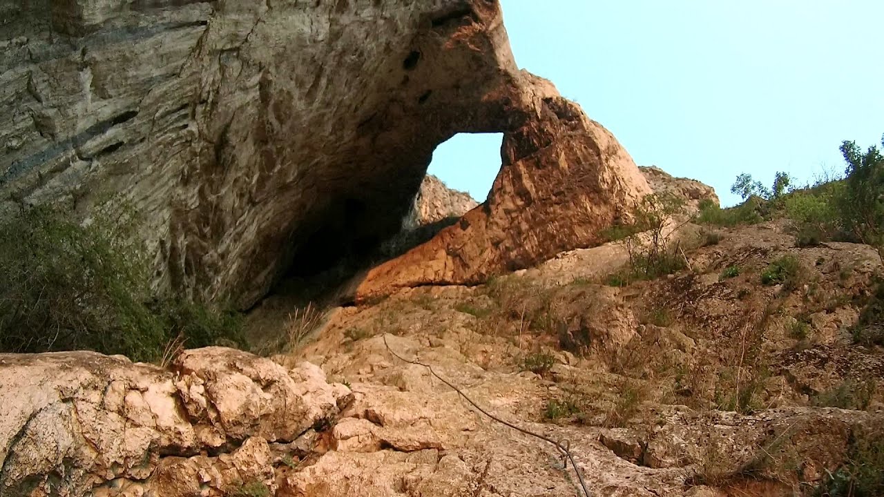
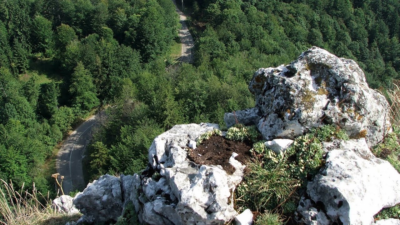
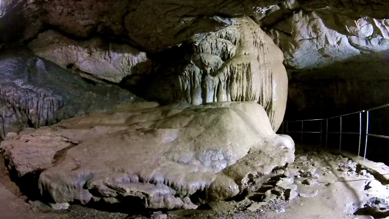
Spherical concretions from Feleac - photos
The spherical concretions from Feleac are sedimentary rock materials that were cemented together to form a hard structure. The surrounding sediments slowly erode away, exposing the concretion.
Read more
Copyright © 2007 - 2025 Trekkingklub.com.
Already published 8151 photos and 128 videos. Please register for full access.
Photos of nearby places
[ Top ↑ ]
Videos of nearby places

Hili cove iron path - Turda Gorges 17.44 km away
While the first time I climbed this via ferrata in the morning, now I climbed it in the light of the setting sun. The red-dressed rocks created a special atmosphere, and I could admire the sunset from the top of the climbing route.

Black Rocks iron path - Bihor Mountains 75.4 km away
Black Rocks is located in the Bihor Mountains, near the Vartop Saddle, to the west of it. It is interesting that the locals (if I understood correctly) do not know this name, but use the name Piatra Buna (meaning Good Stone) for this spectacular rock.

Hodoaba Valley iron path - Suncuius 82.35 km away
The Hodoaba Valley iron path is Romania's shortest and easiest (official) via ferrata route. It is located near Suncuius, in the Padurea Craiului Mountains, on the left bank of the Crisul Repede River.

Meziad cave - Padurea Craiului Mountains 84.09 km away
The Meziad Cave is located near the village of Meziad, 22 km north of Beius, in the Padurea Craiului Mountains. It is one of our first tourist caves, its exploration is associated with the name of Gyula Czárán, cave researcher and writer.

Vadu Crisului cave 86.04 km away
The Vadu Crisului Cave, with a total length of over 1000 meters, is located in the picturesque gorge of Crisul Repede creek. It consists of a gently meandering, long passage that features an active, stream level next to an upper, fossil level in its first section.
Other places
Saint Anne lake Ciomat-Puturosu 188.35 km away
Lake Saint Anna is the only well-preserved volcanic crater lake in Eastern Europe. Here are some images from an afternoon outing.
Lake Saint Anna is the only well-preserved volcanic crater lake in Eastern Europe. Here are some images from an afternoon outing.
Óbányai Valley Eastern Mecsek 401.62 km away
The Óbányai Valley is located in the Eastern Mecsek Landscape Protection Area, stretching between Óbánya and Kisújbánya. Its attractions include the Slanting waterfall or Fairy Stairs, and the Dripping Rock.
The Óbányai Valley is located in the Eastern Mecsek Landscape Protection Area, stretching between Óbánya and Kisújbánya. Its attractions include the Slanting waterfall or Fairy Stairs, and the Dripping Rock.
Stan Valley Canyon 169.61 km away
The Stan Valley is located near Lake Vidraru, southwest of it, in the Fruntii Mountains. Those who have visited the Seven Ladders Waterfall will appreciate this canyon, outfitted with infrastructure for tourist accessibility.
The Stan Valley is located near Lake Vidraru, southwest of it, in the Fruntii Mountains. Those who have visited the Seven Ladders Waterfall will appreciate this canyon, outfitted with infrastructure for tourist accessibility.
The Heart of Jesus look-out Lupeni 132.91 km away
Through the mud on Gordon Mountain, above Farkaslaka (Lupeni commune, Harghita county, Transilvania), on a cloudy afternoon, at the end of February. The destination is the Heart of Jesus lookout, nicknamed as Pléhkrisztus (The Tin Christ).
Through the mud on Gordon Mountain, above Farkaslaka (Lupeni commune, Harghita county, Transilvania), on a cloudy afternoon, at the end of February. The destination is the Heart of Jesus lookout, nicknamed as Pléhkrisztus (The Tin Christ).
Waterfalls of Lapos creek Bicaz Gorges 170.59 km away
One of the lesser-known attractions of the Bicaz Gorges is the series of waterfalls along Lapos Creek. This creek flows between Cupas Stone and Bardos Stone before eventually merging with Bicaz Creek, forming spectacular waterfalls beneath the Altar Stone.
One of the lesser-known attractions of the Bicaz Gorges is the series of waterfalls along Lapos Creek. This creek flows between Cupas Stone and Bardos Stone before eventually merging with Bicaz Creek, forming spectacular waterfalls beneath the Altar Stone.
[ Top ↑ ]
[ Top ↑ ]
Copyright © 2003-2025 Trekkingklub and friends. Reproduction of any text, picture or video from this website, either in printed or electronic form, is prohibited without prior written permission. Nearby settlements: Casele Micesti 0.93 km away, Tourist attractions Feleacu 3.47 km away. The given distances are to be understood as straight line distances, and are approximate. Website made in Miercurea Ciuc  .
.
 .
.


