Salt hills - Praid - photos
Page no. 1, photos: 1-8, 18 photos in total. >>>
Driving on, stopped in the village of Praid. Roadside was an open-air bakery which was making roll-cake (Baumkuchen).
A bread type dough wrapped around a wooden roller about a foot long, rotated on a mechanism above hot charcoal to bake, then coated with sugar and spice (cinnamon). Very tasty!
Peter wanted us to visit the salt mine at Praid, it was not open.
A little further down the road we parked and walked down a dirt road into a large area of hay fields; cut through the fields to an area of trees,
to begin our look for the second cache of the day.
Couldn't go thru the trees, had to skirt them and down into a valley, then right around until
we came to a opening to the right into a steep hillside of salt-dirt. We climbed around but did not locate the cache, finally Peter scaled
the top of the hill and found the cache there in the trees.
Ed didn't make it up to the top. We then took different paths headed back to the car,
Ed up along the brook in the valley, where there were more salt hillsides, finally up into the hay fields again. Met up with Peter who had taken
photos and returned to the car. A circular walk of perhaps 3 kms.
A few miles further on Highway 13A we came to the village of Corund,
famed for its green and brown pottery, also cobalt blue. The highway thru the village was lined on both side with open booths selling a vast array
of goods produced in the village: pottery, wood carvings and various items, lots of cloth goods, dresses, tableware, etc.
I bought a nice small tablecloth for Margot (about a meter square and embroidered), tried my hand at bargaining which knocked 5 RON ($2) off the 50 RON price
(no prices displayed on goods, you ask how much and start from there).
The man spoke a few words of English, and laughed when I said let's begin again and I'll offer 30 instead of 40. We walked the length of the road and back, probably 0.5 km,
took some pictures. Quite a unique village. You see the goods from this village at most tourist locations we visited, displayed in wooden booths
erected along the road or near parking lots.
Driving on we passed our first police car doing traffic control. On-coming drivers flashed
their lights to warn. We stopped in another village to eat a late afternoon snack, eating a specialty of this area (Hungarian settled);
essentially a crepe smeared with marmalade and folded in half, and again in half; this one was filled with a cottage-cheese like filling.
Very tasty!
On our way again, the Hiway passed thru Baile Homorod (Homorod Spring) where the public spring was road-side,
and people stopped to fill jugs of water. This water tasted flat, slightly salty.
A few miles further we passed another spring (a pipe extending out to the road from the mountain-side) and this one was pure and had no mineral taste; we filled our water bottles from this one.
Most of the roads lined with trees, with the lower trunks painted white.
We arrived in Miercurea Ciuc, Peter's current city of residence,
at 9pm and I was deposited at the pension Bella Vita (The Good Life), my home for the next 3 days.
Already published 8093 photos and 90 videos. Please register for full access.
Videos of nearby places
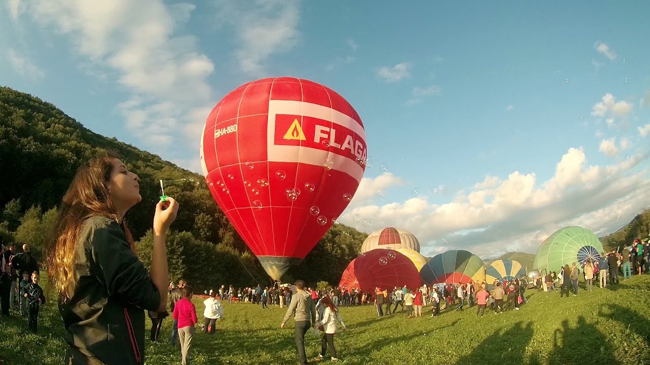
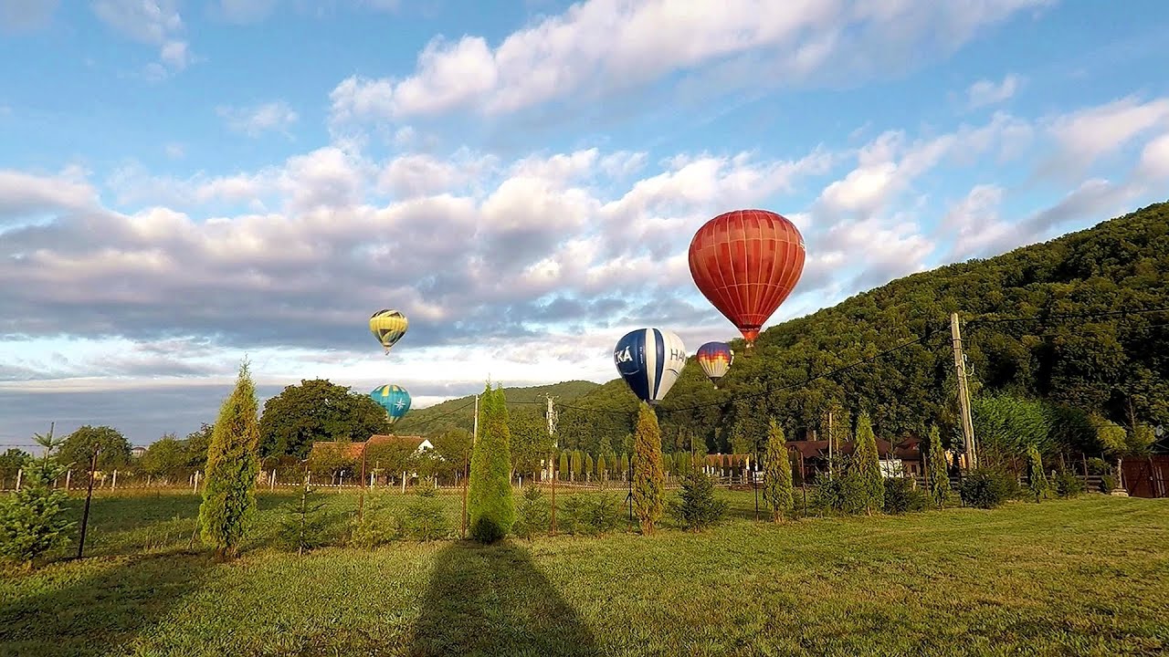
Hot air balloon parade 2015 - Campu Cetatii 16.32 km away
This year, the Hot Air Balloon Parade was organized in Campu Cetatii for the tenth time. Unfortunately, the weather only allowed for flying on Saturday morning and evening.
The Heart of Jesus look-out - Lupeni 19.83 km away
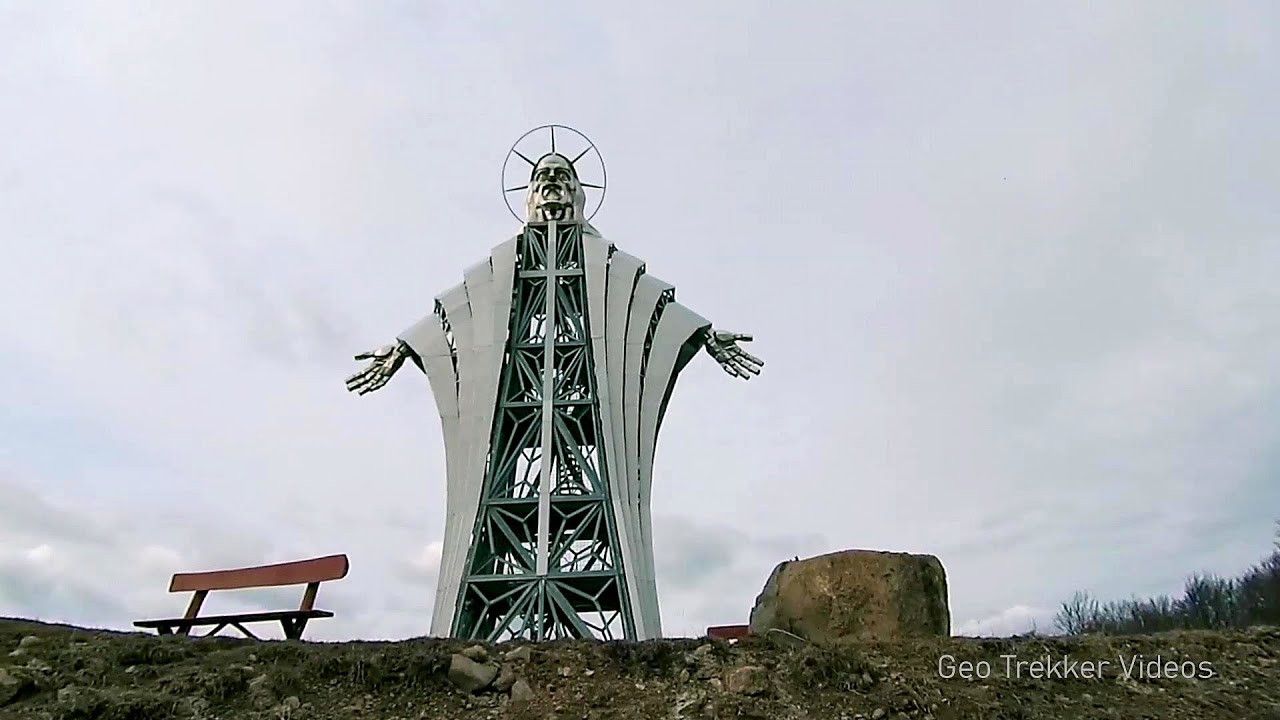
Through the mud on Gordon Mountain, above Farkaslaka (Lupeni commune, Harghita county, Transilvania), on a cloudy afternoon, at the end of February. The destination is the Heart of Jesus lookout, nicknamed as Pléhkrisztus (The Tin Christ).
Iron path - Harghita-Madaras 35.8 km away
Amateur filming in Harghita-Madaras, holding the camera by hand in the car, and helmet-mounted on the via ferrata. I climbed an iron path for the first time in my life on the Nyerges cliffs (Stancile Seii), I didn't have the right equipment yet. That's where I fell in love with climbing.
Iron path in winter - Harghita Madaras 35.82 km away
This is already the sixth time I've climbed the via ferrata route set up on the rocky cliffs of Seii Peak near Harghita Madaras. Although the forecast suggests that the weather should be nice, I am greeted by a sky covered in clouds.
Pricske peak - Giurgeu Mountains 47.31 km away
If we want to reach Pricske (Prisca) peak, which rises above Gheorgheni and Lazarea, we start from the valley of the Güdüc (Ghidut) stream. Our path leads us past the ruins of a building known as the White House.
Copyright © 2003-2024 Trekkingklub and friends. Reproduction of any text, picture or video from this website, either in printed or electronic form, is prohibited without prior written permission. The given distances are to be understood as straight line distances, and are approximate. Website made with love
in Miercurea Ciuc.