Tusnad spa - photos
Had forgotten to set my alarm clock ahead 1 hour coming from Germany to Romania, but I managed to be ready for Peter when he arrived to pick me up. Read more
Ed's hiking trip in Transylvania - Narrative by Ed Kindley, Wildwood, MO, USA.
Already published 8178 photos and 136 videos. Please register for full access.
Photos of nearby places
[ Top ↑ ]
Videos of nearby places

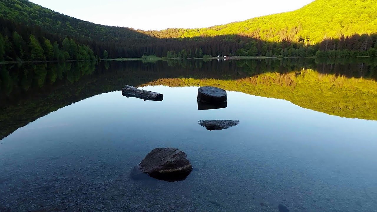
Saint Anne lake - Ciomat-Puturosu 3.83 km away
Lake Saint Anna is the only well-preserved volcanic crater lake in Eastern Europe. Here are some images from an afternoon outing.

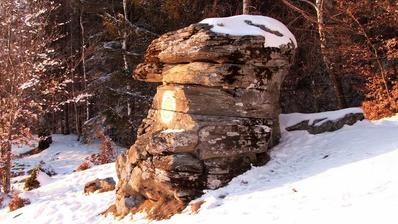
Preacher's Rock - Bodoc Mountains 15.19 km away
In the Bodoc Mountains, west-southwest from the Henter peak, we find a rock formation shaped like a mushroom by erosion, called Preacher's Rock. This 2-meter high rock probably got its name from the pagan Hungarian priests, who preached here in the past.

Nobody's lake - Miercurea Ciuc 23.67 km away
The passage of time (time lapse), dusk at Nobody's Lake. Miercurea Ciuc and the Sumuleu mountain can be seen in the background.

Walking to the top of Sumuleul Mare - Sumuleu Ciuc 24.46 km away
This was my first attempt at shooting a video.

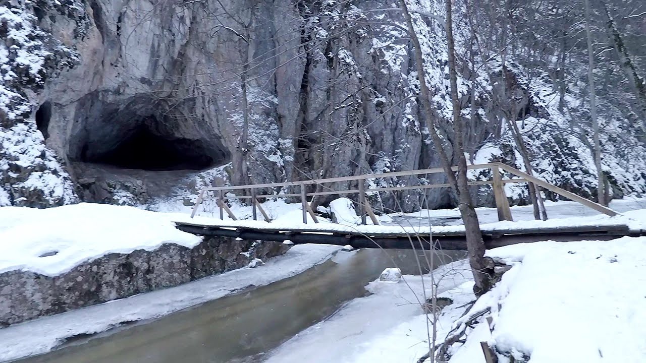
Varghis gorges in winter 24.78 km away
I went out to admire the ice stalagmites (standing icicles) in the Varghis Gorge. Anyone arriving here at the end of winter can observe meter-high ice stalagmites in the entrance area of Meresti Cave (now known as Orban Balazs Cave).
[ Top ↑ ]
Copyright © 2003-2025 Trekkingklub and friends. Reproduction of any text, picture or video from this website, either in printed or electronic form, is prohibited without prior written permission. The given distances are to be understood as straight line distances, and are approximate. Website made with love  in Miercurea Ciuc.
 in Miercurea Ciuc.


