Belogradchik fortress - Bulgaria - video

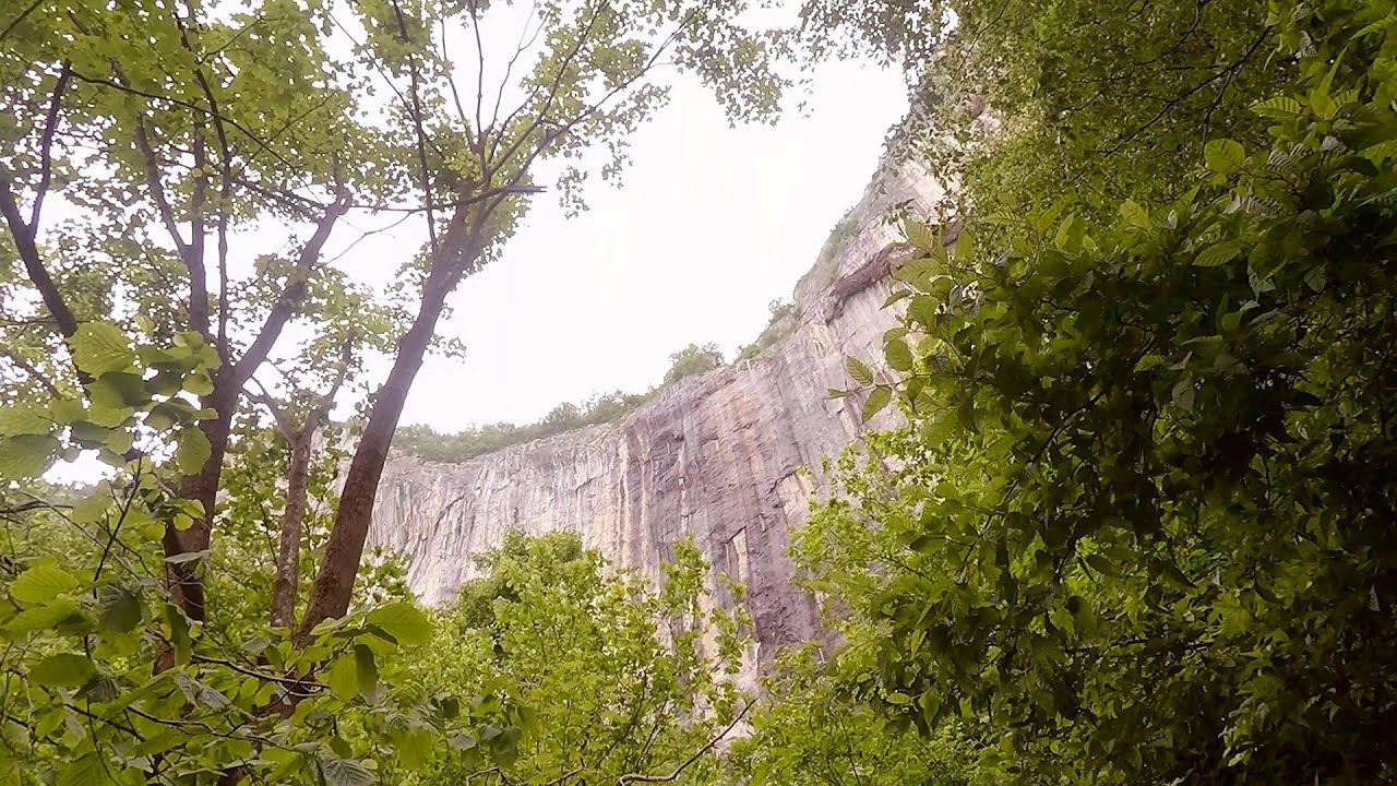
Belogradchik is located in the northwestern part of Bulgaria, in the Vidin Province, at the foot of the Balkan Mountains, near the Serbian border. Its name means little white town. Although it has many other points of interest, its most important attraction is the fortress of the same name, as well as the unique rock formations that surround it.
Read more
Filmed with GoPro HERO5 Black. Music: 2044 by Alasdair Cooper. Copyright © 2017 - 2025 Geo Trekker Videos.
Already published 8162 photos and 136 videos. Please register for full access.
Photos of nearby places


[ Top ↑ ]
Videos of nearby places
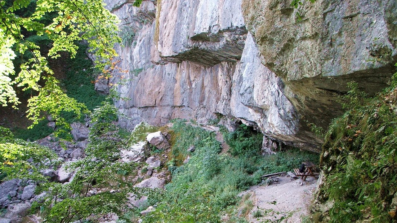
God's bridge (Bozhite mostove, Bozhi Most) - Vratsa 78.5 km away
Anyone who has been to Bulgaria may be familiar with the Prohodna Cave, affectionately known as the Eyes of God; the Devetashka Cave, illuminated by seven windows in its ceiling; and perhaps they have also seen the Wonderful Bridges in the Rhodope Mountains. But there is another spectacular natural stone bridge in this country, known as the Bridge of God.
Iskar gorge (Lyutibrod) Temnata dupka cave (Lakatnik) 82.5 km away
The Iskar is the longest purely Bulgarian river, the oldest river in the Balkans, and a right tributary of the Danube. The river is 368 km long, with approximately 150 km consisting of a gorge.
Bovska Skaklya waterfall - Iskar gorge 84.1 km away
The Bovska Skaklya waterfall is located near the town of Svoge in Bulgaria. The waterfall formed on the Zaselska River has several reported heights online (120 m, 85 m).
Borov Kamak waterfall - Zgorigrad, Vratsa 85 km away
The Vratsa eco-trail starts from the village of Zgorigrad, located 6 km from the city of Vratsa in Bulgaria, and ends at the Parshevitza hut. It is also known as the Zgorigradska or Borov Kamak eco-trail.
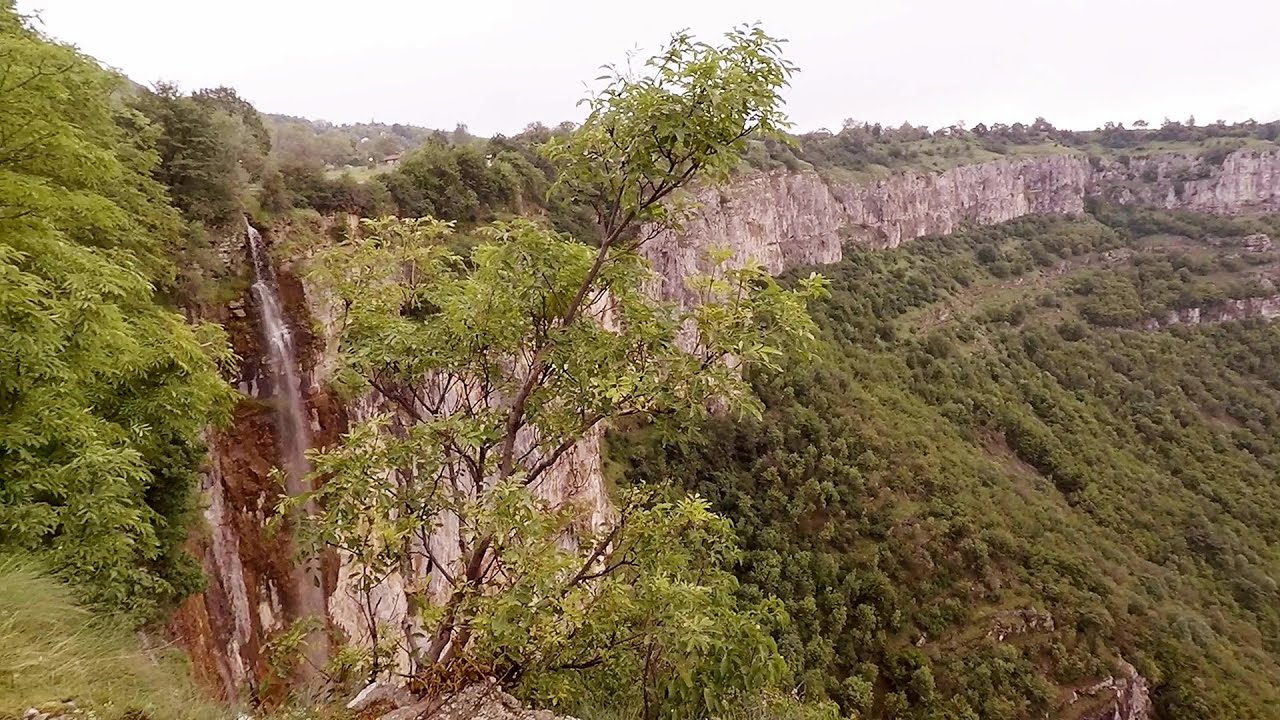
Skaklya waterfall - Vratsa 85.93 km away
The largest seasonal waterfall in Bulgaria plunges down from a height of 141 meters. It is located in the Vratsa Mountain National Park, just one and a half kilometers away from the city of Vratsa.
Other places
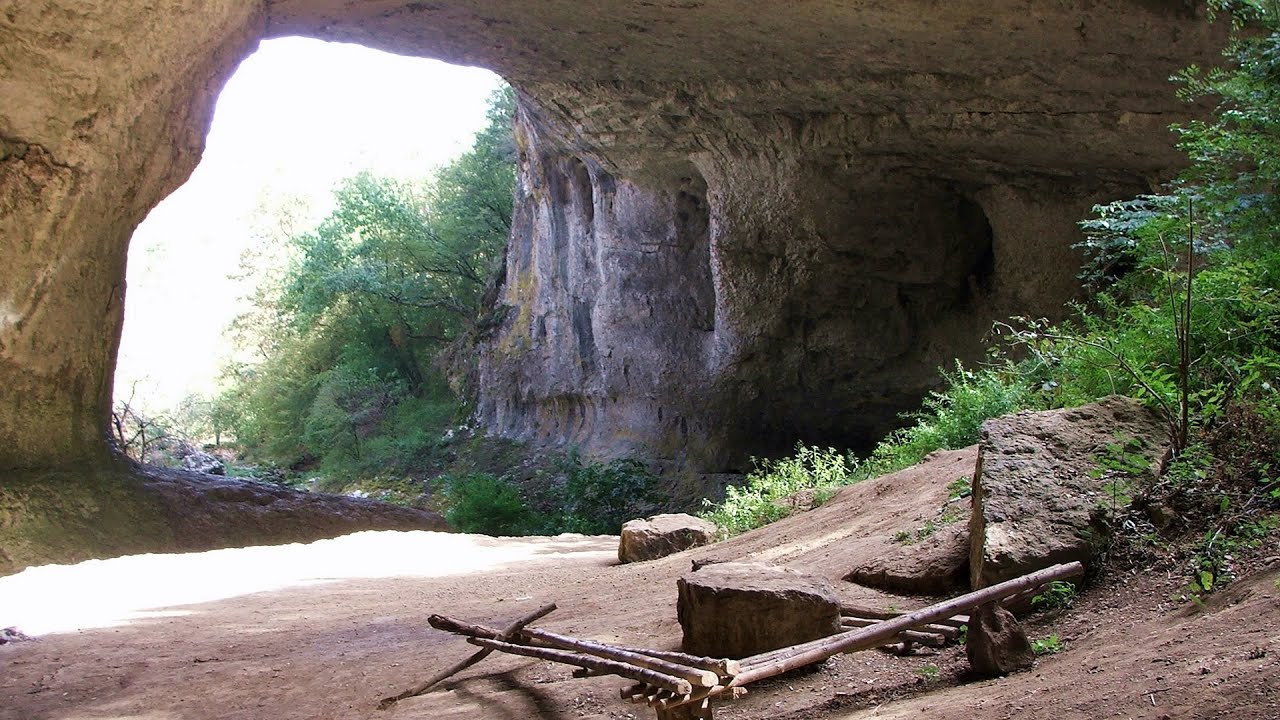
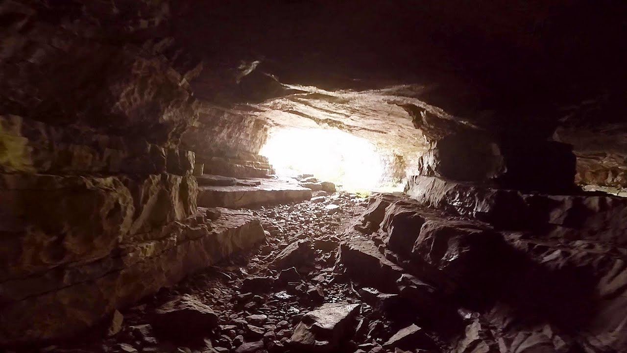
Prohodna cave (The Eyes of God) Karlukovo 123.41 km away
The cave nicknamed The Eyes of God is located in Bulgaria, in the Iskar Gorge, on one of the largest karst areas in Bulgaria, 2 km from the town of Karlukovo. It is essentially a 262-meter-long natural stone bridge, with a large (45 m high) and a small (35 m high) entrance.
The cave nicknamed The Eyes of God is located in Bulgaria, in the Iskar Gorge, on one of the largest karst areas in Bulgaria, 2 km from the town of Karlukovo. It is essentially a 262-meter-long natural stone bridge, with a large (45 m high) and a small (35 m high) entrance.
Mill of the Devils (Moara Dracilor) Tasna Gorges (Cheile Tasnei) 149.88 km away
The Tasna Gorges are located in the Mehedinti Mountains, approximately 15 km from the resort of Baile Herculane. The gorges are part of the Domogled - Cerna Valley (Valea Cernei) National Park.
The Tasna Gorges are located in the Mehedinti Mountains, approximately 15 km from the resort of Baile Herculane. The gorges are part of the Domogled - Cerna Valley (Valea Cernei) National Park.
Via ferrata Dachstein Gams Krippenstein, Obertraun am Hallstättersee 822.17 km away
The Dachstein Gams is a new via ferrata route on Krippenstein. It has three parts: Himmeleck (A/B), Gams (C), and Nordwand (E).
The Dachstein Gams is a new via ferrata route on Krippenstein. It has three parts: Himmeleck (A/B), Gams (C), and Nordwand (E).
Trümmelbach-fälle Lauterbrunnen, Switzerland 1202.18 km away
The Trümmelbach Waterfalls are a series of ten cascades partially located inside the belly of the mountain, near Lauterbrunnen, Switzerland. Infrastructure has been established to enable tourist access to the waterfalls.
The Trümmelbach Waterfalls are a series of ten cascades partially located inside the belly of the mountain, near Lauterbrunnen, Switzerland. Infrastructure has been established to enable tourist access to the waterfalls.
Ski Gyimes ski slope Lunca de Sus 412.33 km away
The Ski Gyimes ski slope is located in Lunca de Sus, right next to the main road. It is 800 m long, the level difference is 160 m.
The Ski Gyimes ski slope is located in Lunca de Sus, right next to the main road. It is 800 m long, the level difference is 160 m.
[ Top ↑ ]
[ Top ↑ ]
Copyright © 2003-2025 Trekkingklub and friends. Reproduction of any text, picture or video from this website, either in printed or electronic form, is prohibited without prior written permission. Nearby settlements: Ciupercenii Noi 38.74 km away, Tourist attractions near Ciupercenii Noi 38.74 km away. The given distances are to be understood as straight line distances, and are approximate. Website made in Miercurea Ciuc  .
.