The Heart of Jesus look-out - Lupeni - video
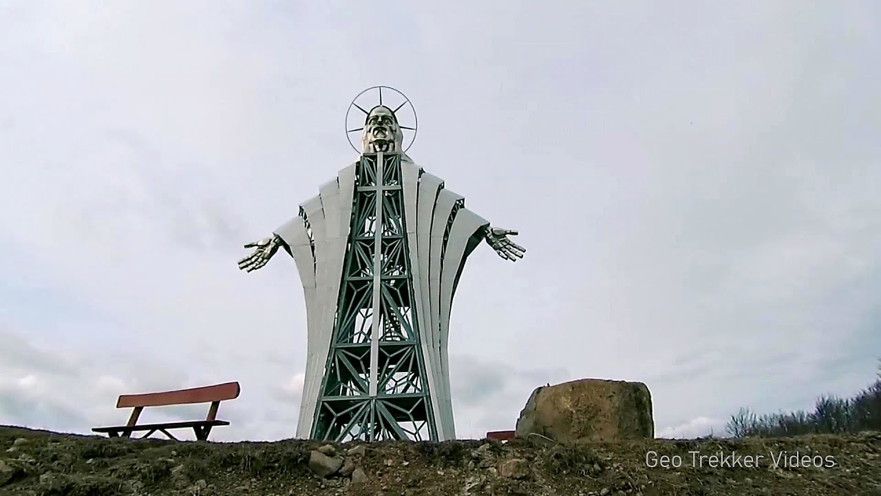
Through the mud on Gordon Mountain, above Farkaslaka (Lupeni commune, Harghita county, Transilvania), on a cloudy afternoon, at the end of February. The destination is the Heart of Jesus lookout, nicknamed as Pléhkrisztus (The Tin Christ).
Filmed with SJCAM SJ5000 Plus. Music composed by Jahzzar. Copyright © 2015 - 2025 Geo Trekker Videos.
Already published 8162 photos and 136 videos. Please register for full access.
Photos of nearby places

The Rock with a Hole - Corund (6 photos) 7.26 km away
The Likas Stone (The Rock with a Hole) is located near Korond (Corund), on a meadow next to the road and four graves. In the middle of the conglomerate rock block, there is a perfectly drilled, heart-shaped hole.

Rák lake - Porumbenii Mari (15 photos) 14.55 km away
The Rak lake is located 2 km north of the village Porumbenii Mari, at 600 m altitude. The circumference of the lake is 800 m, the length 250 m, width 150 m, maximum depth 7 m, and the surface is 28000 m2 (10 ha together with the joined area).
[ Top ↑ ]
Videos of nearby places

Iron path - Harghita-Madaras 24.6 km away
Amateur filming in Harghita-Madaras, holding the camera by hand in the car, and helmet-mounted on the via ferrata. I climbed an iron path for the first time in my life on the Nyerges cliffs (Stancile Seii), I didn't have the right equipment yet.

Iron path in winter - Harghita Madaras 24.62 km away
This is already the sixth time I've climbed the via ferrata route set up on the rocky cliffs of Seii Peak near Harghita Madaras. Although the forecast suggests that the weather should be nice, I am greeted by a sky covered in clouds.

Varghis gorges in winter 29.48 km away
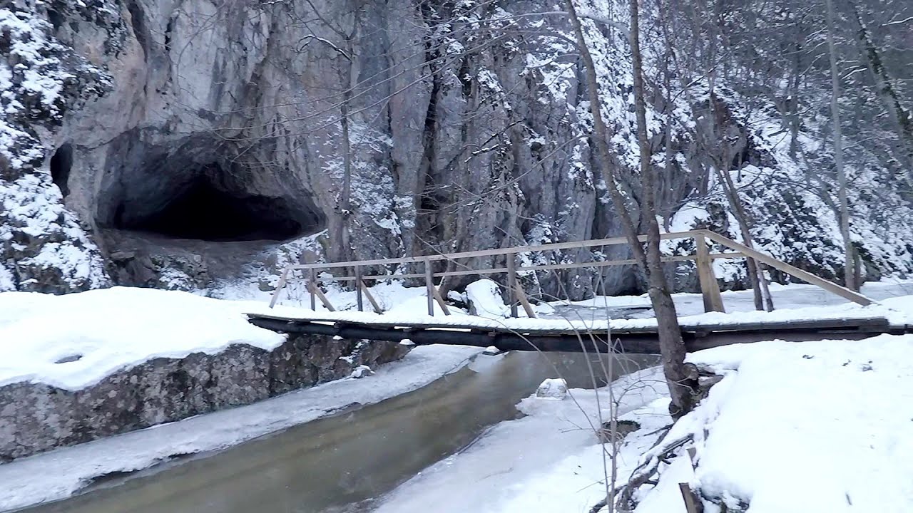
I went out to admire the ice stalagmites (standing icicles) in the Varghis Gorge. Anyone arriving here at the end of winter can observe meter-high ice stalagmites in the entrance area of Meresti Cave (now known as Orban Balazs Cave).

Hot air balloon parade 2015 - Campu Cetatii 36.14 km away
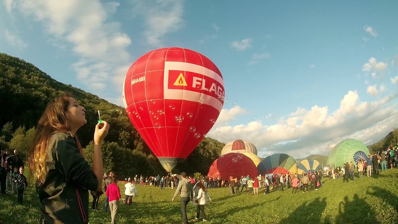
This year, the Hot Air Balloon Parade was organized in Campu Cetatii for the tenth time. Unfortunately, the weather only allowed for flying on Saturday morning and evening.
Other places
Dino Parc Rasnov 90.77 km away
On June 12, 2015, one of the largest dinosaur theme parks in the region opened in Rasnov, where we can see 45 life-sized dinosaurs. The facility is located directly next to the Rasnov Fortress, which is one of the best-preserved Transylvanian Saxon peasant fortresses.
On June 12, 2015, one of the largest dinosaur theme parks in the region opened in Rasnov, where we can see 45 life-sized dinosaurs. The facility is located directly next to the Rasnov Fortress, which is one of the best-preserved Transylvanian Saxon peasant fortresses.
The Stone Wedding Zimzelen, Kardzhali 526.87 km away
The Stone Wedding (Kamenna Svatba, Petrified Wedding, Kardzhali Pyramids) is located near the village of Zimzelen, close to the city of Kardzhali, in the eastern part of the Rhodope Mountains in Bulgaria. This spectacular natural formation was declared a natural monument in 1974.
The Stone Wedding (Kamenna Svatba, Petrified Wedding, Kardzhali Pyramids) is located near the village of Zimzelen, close to the city of Kardzhali, in the eastern part of the Rhodope Mountains in Bulgaria. This spectacular natural formation was declared a natural monument in 1974.
Iskar gorge (Lyutibrod) Temnata dupka cave (Lakatnik) 396.01 km away
The Iskar is the longest purely Bulgarian river, the oldest river in the Balkans, and a right tributary of the Danube. The river is 368 km long, with approximately 150 km consisting of a gorge.
The Iskar is the longest purely Bulgarian river, the oldest river in the Balkans, and a right tributary of the Danube. The river is 368 km long, with approximately 150 km consisting of a gorge.
Castle panorama route, Zoltán Tálos memorial route, Besieger's route Csesznek 570.63 km away
Castle panorama route (D), Zoltán Tálos memorial route (E), Besieger's route (C), Kőmosó-ravine, Csesznek, Veszprém county, Hungary. The via ferratas in Csesznek are suitable for both getting acquainted with climbing, and assessing our capabilities.
Castle panorama route (D), Zoltán Tálos memorial route (E), Besieger's route (C), Kőmosó-ravine, Csesznek, Veszprém county, Hungary. The via ferratas in Csesznek are suitable for both getting acquainted with climbing, and assessing our capabilities.
Silberkar Gorge (Silberkarklamm) Ramsau am Dachstein, Austria 883.29 km away
One of the most beautiful hiking spots in the area of Ramsau am Dachstein, is the Silberkarklamm. It is possible to drive to the entrance of the gorge, there is parking available on the side of the road, and you have to pay an entrance fee.
One of the most beautiful hiking spots in the area of Ramsau am Dachstein, is the Silberkarklamm. It is possible to drive to the entrance of the gorge, there is parking available on the side of the road, and you have to pay an entrance fee.
[ Top ↑ ]
[ Top ↑ ]
Copyright © 2003-2025 Trekkingklub and friends. Reproduction of any text, picture or video from this website, either in printed or electronic form, is prohibited without prior written permission. Nearby settlements: Lupeni 2.75 km away, Tourist attractions Lupeni 2.75 km away. The given distances are to be understood as straight line distances, and are approximate. Website made in Miercurea Ciuc  .
.
 .
.


