Hot Air Balloon Parade 2018 - Campu Cetatii - video
This year, the hot air balloons flew low over Campu Cetatii. The weather did not really favor the parade. Due to rain and unsuitable winds, the usual spectacle was canceled on Saturday evening and Sunday morning, and the hot air balloons did not ascend into the sky.
Read more
Time lapse GoPro HERO5 Black. Music: Soli by Kai Engel. Copyright © 2018 - 2025 Geo Trekker Videos.
Already published 8162 photos and 136 videos. Please register for full access.
Photos of nearby places
[ Top ↑ ]
Videos of nearby places
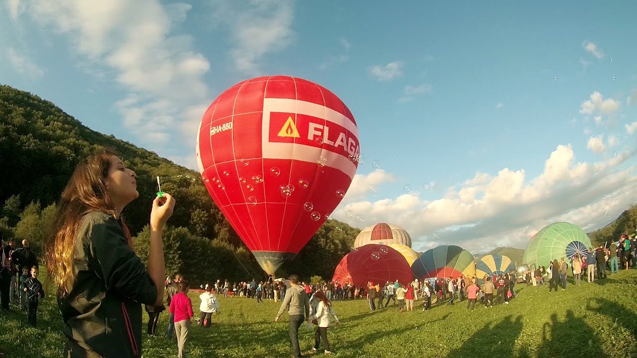
Hot air balloon parade 2015 - Campu Cetatii 0 km away
This year, the Hot Air Balloon Parade was organized in Campu Cetatii for the tenth time. Unfortunately, the weather only allowed for flying on Saturday morning and evening.
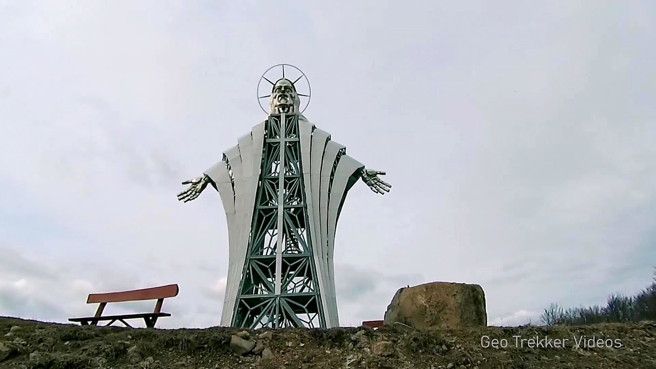
The Heart of Jesus look-out - Lupeni 36.14 km away
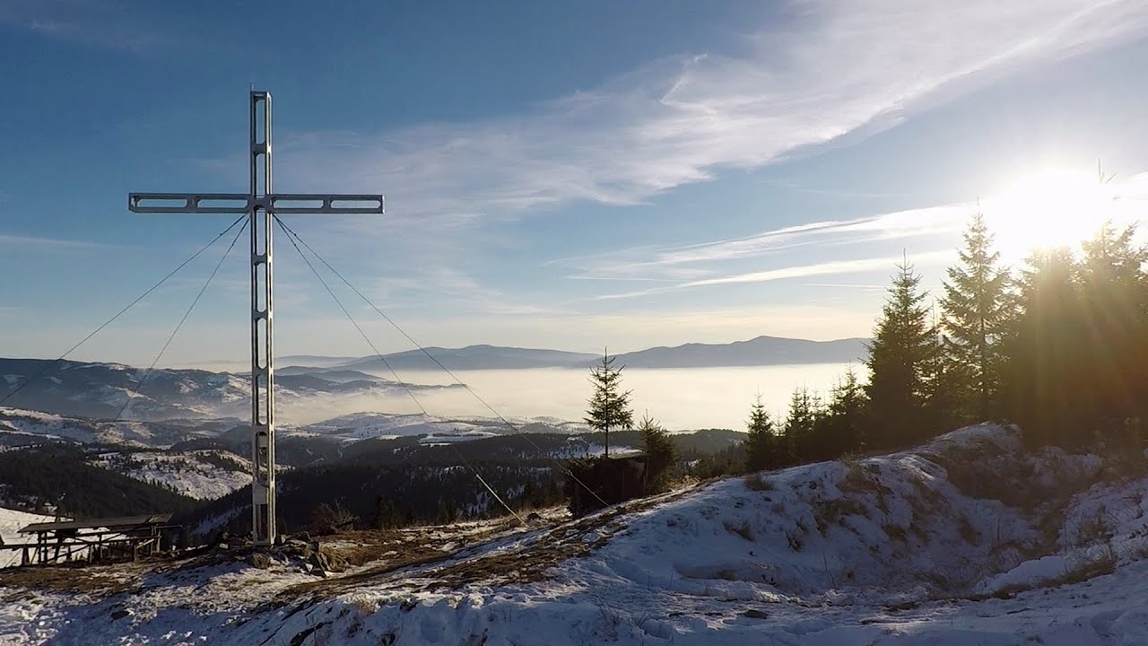
Through the mud on Gordon Mountain, above Farkaslaka (Lupeni commune, Harghita county, Transilvania), on a cloudy afternoon, at the end of February. The destination is the Heart of Jesus lookout, nicknamed as Pléhkrisztus (The Tin Christ).
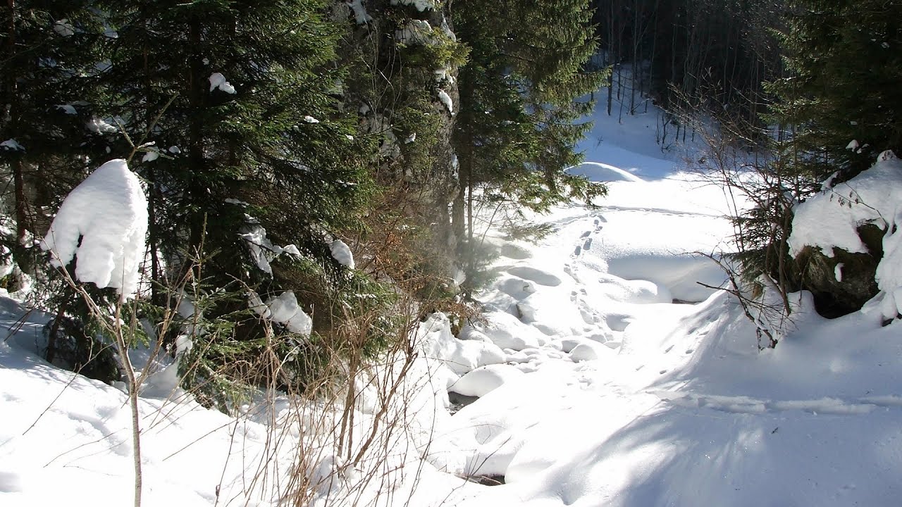
With snowshoes in the Tihu creek valley - Rastolita 48.24 km away
We met geotrekking treasure hunters from Gheorgheni, Miercurea Ciuc and Targu Mures in Rastolita. We entered the Calimani Mountains with an off-road vehicle, along the Rastolita and Tihu streams.
Pricske peak - Giurgeu Mountains 48.5 km away
If we want to reach Pricske (Prisca) peak, which rises above Gheorgheni and Lazarea, we start from the valley of the Güdüc (Ghidut) stream. Our path leads us past the ruins of a building known as the White House.

Iron path - Harghita-Madaras 48.89 km away
Amateur filming in Harghita-Madaras, holding the camera by hand in the car, and helmet-mounted on the via ferrata. I climbed an iron path for the first time in my life on the Nyerges cliffs (Stancile Seii), I didn't have the right equipment yet.
Other places
Poienii Rock, north-eastern lookout point Bicaz Gorges 64.56 km away
From the viewpoint at the top of the northeastern wall of Poienii Rock in the Bicaz Gorges, we can look down 300 meters to the mouth of the Bicajel stream. The Bridge of the Hungarians is hidden among pine trees.
From the viewpoint at the top of the northeastern wall of Poienii Rock in the Bicaz Gorges, we can look down 300 meters to the mouth of the Bicajel stream. The Bridge of the Hungarians is hidden among pine trees.
Schulter Anstieg klettersteig Hoher Dachstein 866.67 km away
Two routes lead to the top of the Hoher Dachstein. The Randkluft is shorter, but can only be reached through a glacier with cracks.
Two routes lead to the top of the Hoher Dachstein. The Randkluft is shorter, but can only be reached through a glacier with cracks.
The Devil's Iron Path Aussois, Savoy, Rhône Alps 1418.3 km away
The Devil's Iron Path (Via ferrata du Diable) is a multi-part via ferrata, located above a spectacular waterfall (Cascade du Nant), in a gorge, below the Victor-Emmanuel fort. For me, this climbing route presented the greatest challenge so far (2015).
The Devil's Iron Path (Via ferrata du Diable) is a multi-part via ferrata, located above a spectacular waterfall (Cascade du Nant), in a gorge, below the Victor-Emmanuel fort. For me, this climbing route presented the greatest challenge so far (2015).
Prohodna cave (The Eyes of God) Karlukovo 395.2 km away
The cave nicknamed The Eyes of God is located in Bulgaria, in the Iskar Gorge, on one of the largest karst areas in Bulgaria, 2 km from the town of Karlukovo. It is essentially a 262-meter-long natural stone bridge, with a large (45 m high) and a small (35 m high) entrance.
The cave nicknamed The Eyes of God is located in Bulgaria, in the Iskar Gorge, on one of the largest karst areas in Bulgaria, 2 km from the town of Karlukovo. It is essentially a 262-meter-long natural stone bridge, with a large (45 m high) and a small (35 m high) entrance.
Aareschlucht Meiringen-Innertkirchen, Switzerland 1277.91 km away
The Aareschlucht is a 1400-meter long, 200-meter deep gorge of the Aare river, near Innertkirchen, Switzerland. It has two entrances, one from Meiringen in the west, and one from Innertkirchen in the east, which lead into the narrow, but stunning gorge.
The Aareschlucht is a 1400-meter long, 200-meter deep gorge of the Aare river, near Innertkirchen, Switzerland. It has two entrances, one from Meiringen in the west, and one from Innertkirchen in the east, which lead into the narrow, but stunning gorge.
[ Top ↑ ]
[ Top ↑ ]
Copyright © 2003-2025 Trekkingklub and friends. Reproduction of any text, picture or video from this website, either in printed or electronic form, is prohibited without prior written permission. Nearby settlements: Campu Cetatii 0.86 km away, Tourist attractions near Eremitu 6.08 km away. The given distances are to be understood as straight line distances, and are approximate. Website made in Miercurea Ciuc  .
.
 .
.