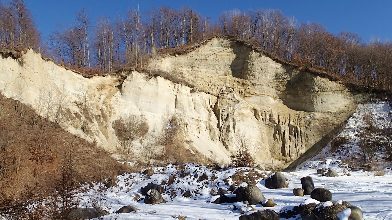
Pietraru pottery - Horezu - video
Filmed with GoPro HERO5 Black. Copyright © 2017 - 2025 Geo Trekker Videos.
Already published 8162 photos and 136 videos. Please register for full access.
Photos of nearby places

Women's Cave (Pestera Muierii) - Parang Mountains (11 photos) 20.23 km away
The Cave of Women (Pestera Muierii, Pestera Muierilor) is located at the southern foot of the Parang Mountains, in the area of Baia de Fier in Gorj County. There are several climbing routes established on the rocks above the cave and on the other side of the road.

Doabra Snail Shells - Brezoi (12 photos) 29.94 km away
Doabra Valley - Calinesti-Brezoi forest - Lotru Valley, Cozia National Park

Circular hiking tour in Cozia Mountain (48 photos) 32.72 km away
Arutela - Turnu monastery - Rosiei Rocks - Turneanu ridge - Cozia peak - Stone portal - Stanisoara monastery - Gardului waterfall.
[ Top ↑ ]
Videos of nearby places
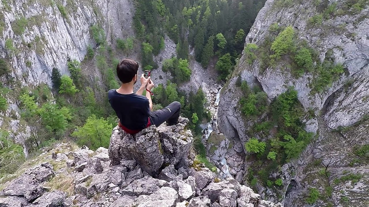
Key Gorge (Cheii Gorge, Cheile Cheii) - Buila-Vanturarita National Park, Capatana Mountains 16.65 km away
The Key Gorge (Cheii Gorge, Cheile Cheii) is located in the Buila-Vanturarita National Park within the Capatana Mountains. It is one of the most beautiful and picturesque gorges in Romania.
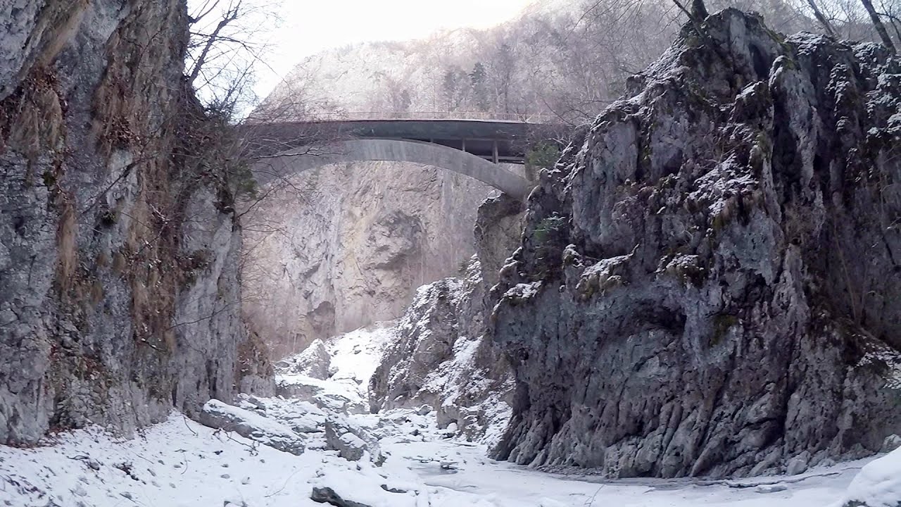
Oltet Gorges (Cheile Oltetului) - Capatana Mountains 18.8 km away
That day, we had planned to ski at the Ranca resort, situated alongside the Transalpina high altitude mountain road in the Parang Mountains. Unfortunately, the very small snowfall made skiing unfeasible, so we had to find an alternative activity on our way home.
Via Ferrata Pink Panther - Baia de Fier 19.95 km away
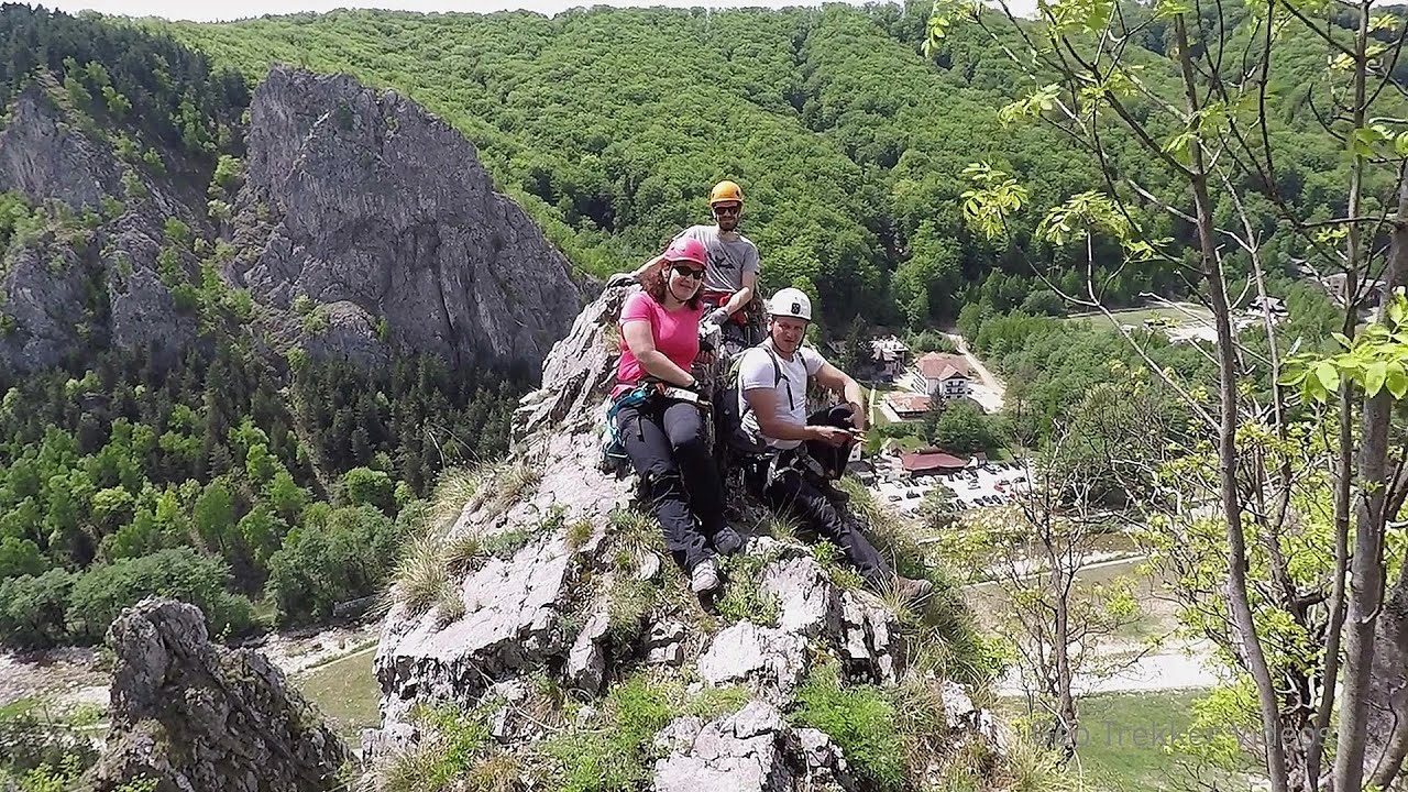
In the area of Baia de Fier in Gorj County, several via ferrata routes have been set up on the rock above the Women's Cave (Muierii Cave) and on the other side of the road. At that time (2018), there were a total of seven.
The Amphitheater of the Dragons (Amfiteatrul Zmeilor) - Baia de Fier 19.98 km away
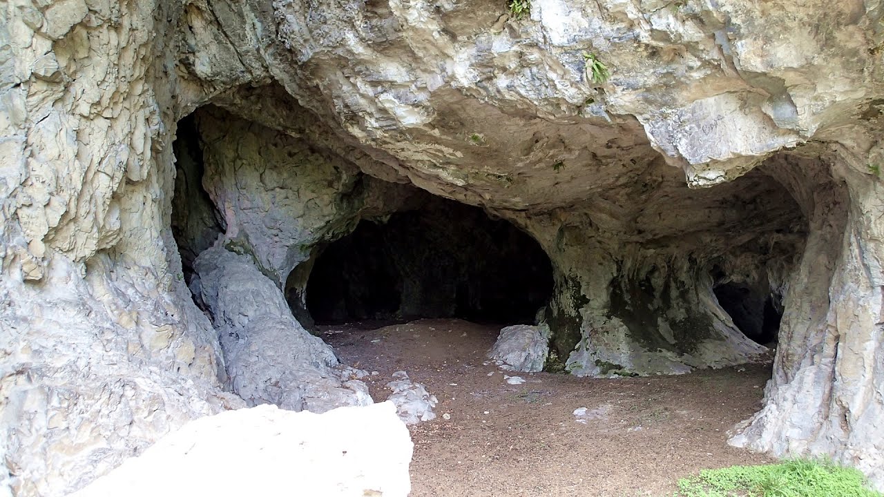
The Amphitheater of the Dragons is the seventh (2017) via ferrata route in Baia de Fier. It was inaugurated last year, on December 26, 2017, after Christmas.
Other places
Trift valley, bridge, lake and glacier Gadmen, Switzerland 1220.31 km away
During the hike in Trift Valley, I experienced cloudy and gloomy weather with intermittent rain. Here is the 170 m long Trift Bridge, the longest pedestrian suspension bridge in the Swiss Alps, in a breathtaking environment, 100 meters above the Trift Glacier Lake.
During the hike in Trift Valley, I experienced cloudy and gloomy weather with intermittent rain. Here is the 170 m long Trift Bridge, the longest pedestrian suspension bridge in the Swiss Alps, in a breathtaking environment, 100 meters above the Trift Glacier Lake.
Loreley and Pink Panther iron path Baia de Fier 20.02 km away
The Loreley via ferrata (graded B/C, with an elevation difference of approximately 100 m and a length of about 100 m) is located on the rock wall on the opposite side of the road. A branch from its upper section leads to the Pink Panther (Pantera Roz, graded A/B/C, approximately 200 meters long, with an elevation difference of about 50 meters).
The Loreley via ferrata (graded B/C, with an elevation difference of approximately 100 m and a length of about 100 m) is located on the rock wall on the opposite side of the road. A branch from its upper section leads to the Pink Panther (Pantera Roz, graded A/B/C, approximately 200 meters long, with an elevation difference of about 50 meters).
Zip-line near Seven Ladder Canyon Piatra Mare Mountain 136.46 km away
Via ferrata Dachstein Gams Krippenstein, Obertraun am Hallstättersee 833.79 km away
The Dachstein Gams is a new via ferrata route on Krippenstein. It has three parts: Himmeleck (A/B), Gams (C), and Nordwand (E).
The Dachstein Gams is a new via ferrata route on Krippenstein. It has three parts: Himmeleck (A/B), Gams (C), and Nordwand (E).
Big Via ferrata Rasnoavei Gorges 126.52 km away
The most dangerous Eastern European iron path, and also one of the most beautiful via ferrata routes in Romania, is in the Rasnoavei Gorges, Postavaru Mountains.The route is 450 m long, with a level difference of 220 m.
The most dangerous Eastern European iron path, and also one of the most beautiful via ferrata routes in Romania, is in the Rasnoavei Gorges, Postavaru Mountains.The route is 450 m long, with a level difference of 220 m.
[ Top ↑ ]
[ Top ↑ ]
Copyright © 2003-2025 Trekkingklub and friends. Reproduction of any text, picture or video from this website, either in printed or electronic form, is prohibited without prior written permission. Nearby settlements: Horezu 0.56 km away, Tourist attractions Horezu 0.56 km away. The given distances are to be understood as straight line distances, and are approximate. Website made in Miercurea Ciuc  .
.
 .
.