Skaklya waterfall - Vratsa - video


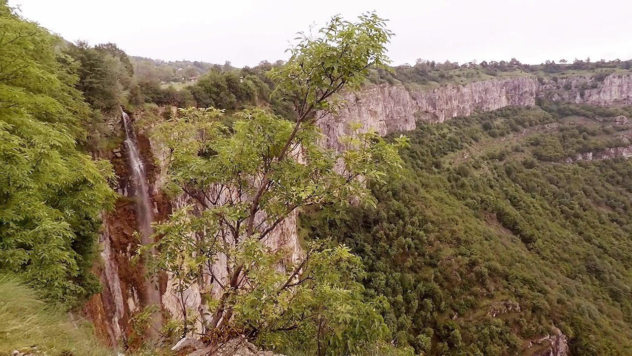
The largest seasonal waterfall in Bulgaria plunges down from a height of 141 meters. It is located in the Vratsa Mountain National Park, just one and a half kilometers away from the city of Vratsa. The waterfall can be accessed via a well-marked trail and is most stunning after snowmelt or rainfall. Climbing to the top of the waterfall offers a breathtaking view of the city.
Read more
Filmed with GoPro HERO5 Black. Music: Oecumene sleeps by Kai Engel. Copyright © 2017 - 2025 Geo Trekker Videos.
Already published 8162 photos and 136 videos. Please register for full access.
Photos of nearby places


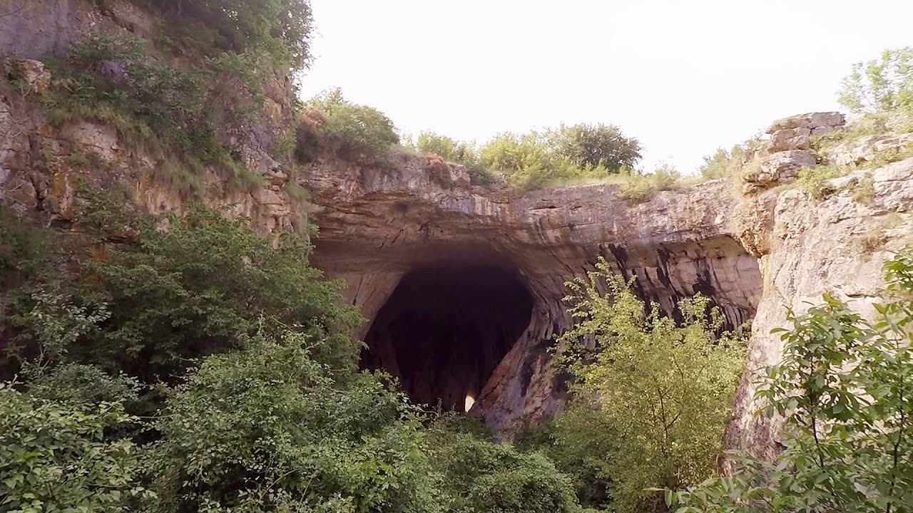
Canyon of Waterfalls eco-trail - Smolyan (8 photos) 198.63 km away
The Soskovcheto Reserve was established in 1968 and covers an area of 177 hectares. It is situated in the Perelishko-Prespanski region of the Rhodope Mountains.


[ Top ↑ ]
Videos of nearby places
Borov Kamak waterfall - Zgorigrad, Vratsa 4.98 km away
The Vratsa eco-trail starts from the village of Zgorigrad, located 6 km from the city of Vratsa in Bulgaria, and ends at the Parshevitza hut. It is also known as the Zgorigradska or Borov Kamak eco-trail.
God's bridge (Bozhite mostove, Bozhi Most) - Vratsa 14.8 km away
Anyone who has been to Bulgaria may be familiar with the Prohodna Cave, affectionately known as the Eyes of God; the Devetashka Cave, illuminated by seven windows in its ceiling; and perhaps they have also seen the Wonderful Bridges in the Rhodope Mountains. But there is another spectacular natural stone bridge in this country, known as the Bridge of God.
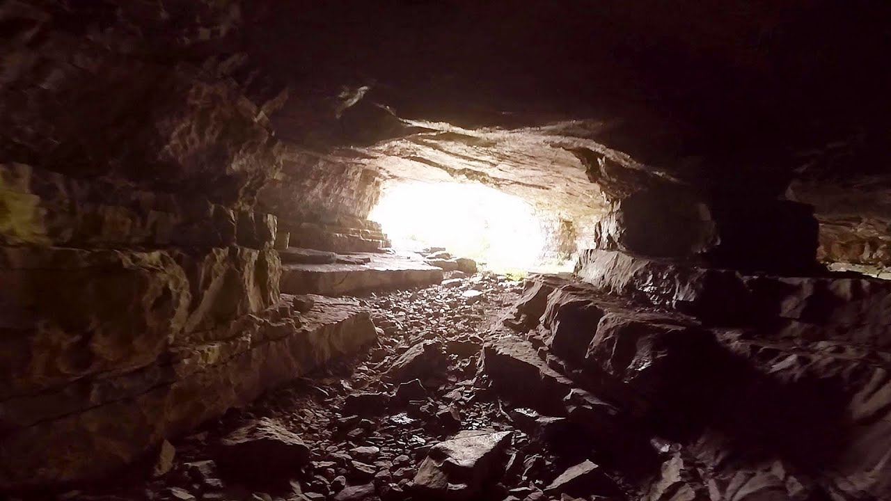
Iskar gorge (Lyutibrod) Temnata dupka cave (Lakatnik) 16.93 km away
The Iskar is the longest purely Bulgarian river, the oldest river in the Balkans, and a right tributary of the Danube. The river is 368 km long, with approximately 150 km consisting of a gorge.
Bovska Skaklya waterfall - Iskar gorge 24.14 km away
The Bovska Skaklya waterfall is located near the town of Svoge in Bulgaria. The waterfall formed on the Zaselska River has several reported heights online (120 m, 85 m).
Prohodna cave (The Eyes of God) - Karlukovo 42.51 km away
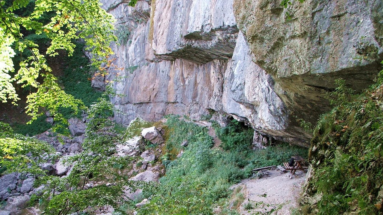
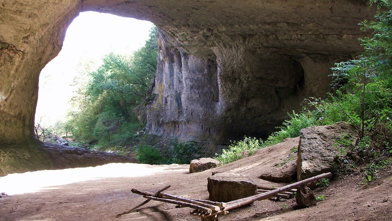
The cave nicknamed The Eyes of God is located in Bulgaria, in the Iskar Gorge, on one of the largest karst areas in Bulgaria, 2 km from the town of Karlukovo. It is essentially a 262-meter-long natural stone bridge, with a large (45 m high) and a small (35 m high) entrance.
Other places
Hot Air Balloon Parade 2018 Campu Cetatii 404.11 km away
This year, the hot air balloons flew low over Campu Cetatii. The weather did not really favor the parade.
This year, the hot air balloons flew low over Campu Cetatii. The weather did not really favor the parade.
Varghis gorges in winter 372.56 km away
I went out to admire the ice stalagmites (standing icicles) in the Varghis Gorge. Anyone arriving here at the end of winter can observe meter-high ice stalagmites in the entrance area of Meresti Cave (now known as Orban Balazs Cave).
I went out to admire the ice stalagmites (standing icicles) in the Varghis Gorge. Anyone arriving here at the end of winter can observe meter-high ice stalagmites in the entrance area of Meresti Cave (now known as Orban Balazs Cave).
Canyon of Waterfalls Smolyan 198.63 km away
The eco-trail known as the Canyon of Waterfalls is located in Bulgaria, within the Rhodope Mountains and the Soskovcheto Nature Reserve. It begins at the edge of the Sredoka suburb of the city of Smolyan.
The eco-trail known as the Canyon of Waterfalls is located in Bulgaria, within the Rhodope Mountains and the Soskovcheto Nature Reserve. It begins at the edge of the Sredoka suburb of the city of Smolyan.
Loreley and Pink Panther iron path Baia de Fier 224.21 km away
The Loreley via ferrata (graded B/C, with an elevation difference of approximately 100 m and a length of about 100 m) is located on the rock wall on the opposite side of the road. A branch from its upper section leads to the Pink Panther (Pantera Roz, graded A/B/C, approximately 200 meters long, with an elevation difference of about 50 meters).
The Loreley via ferrata (graded B/C, with an elevation difference of approximately 100 m and a length of about 100 m) is located on the rock wall on the opposite side of the road. A branch from its upper section leads to the Pink Panther (Pantera Roz, graded A/B/C, approximately 200 meters long, with an elevation difference of about 50 meters).
Preacher's Rock Bodoc Mountains 365.63 km away
In the Bodoc Mountains, west-southwest from the Henter peak, we find a rock formation shaped like a mushroom by erosion, called Preacher's Rock. This 2-meter high rock probably got its name from the pagan Hungarian priests, who preached here in the past.
In the Bodoc Mountains, west-southwest from the Henter peak, we find a rock formation shaped like a mushroom by erosion, called Preacher's Rock. This 2-meter high rock probably got its name from the pagan Hungarian priests, who preached here in the past.
[ Top ↑ ]
[ Top ↑ ]
Copyright © 2003-2025 Trekkingklub and friends. Reproduction of any text, picture or video from this website, either in printed or electronic form, is prohibited without prior written permission. The given distances are to be understood as straight line distances, and are approximate. Website made in Miercurea Ciuc  .
.