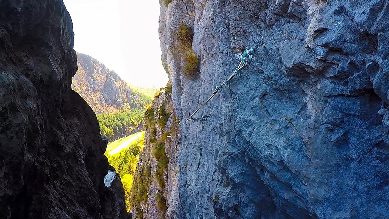
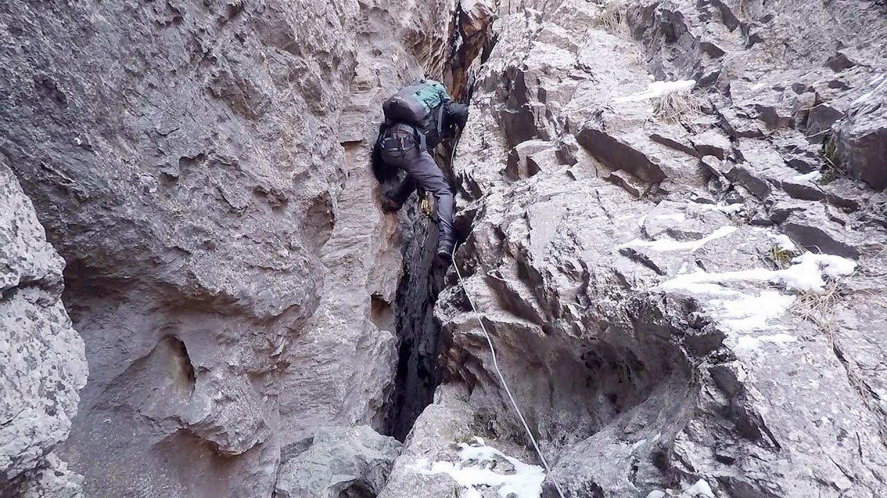
Spirala Medie iron path - Baia de Fier - video
In May 2018, two new via ferrata routes were inaugurated in Baia de Fier. Both start from section G of the rock face hiding the Muierilor Cave, and their initial stages are shared. The Bear's Jump (in Romanian, Saritoarea Ursului) leads vertically upwards. The Middle Belt or Middle Spiral (in Romanian, Spirala Medie) connects the former to the Big Spiral via ferrata route.
Read more
Filmed with GoPro HERO5 Black. Music: Daemones by Kai Engel. Copyright © 2018 - 2025 Geo Trekker Videos.
Already published 8151 photos and 128 videos. Please register for full access.
Photos of nearby places

Women's Cave (Pestera Muierii) - Parang Mountains (11 photos) 0.12 km away
The Cave of Women (Pestera Muierii, Pestera Muierilor) is located at the southern foot of the Parang Mountains, in the area of Baia de Fier in Gorj County. There are several climbing routes established on the rocks above the cave and on the other side of the road.

Parangul Mare peak (16 photos) 23.62 km away
Chamois saddle (Saua Caprelor), Carja mountain shelter (Refugiul Carja) - Carja peak (Varful Carja) - Stoienita peak (Varful Stoienita) - Gemanarea - Parangul Mare peak.

Doabra Snail Shells - Brezoi (12 photos) 42.26 km away
Doabra Valley - Calinesti-Brezoi forest - Lotru Valley, Cozia National Park
[ Top ↑ ]
Videos of nearby places
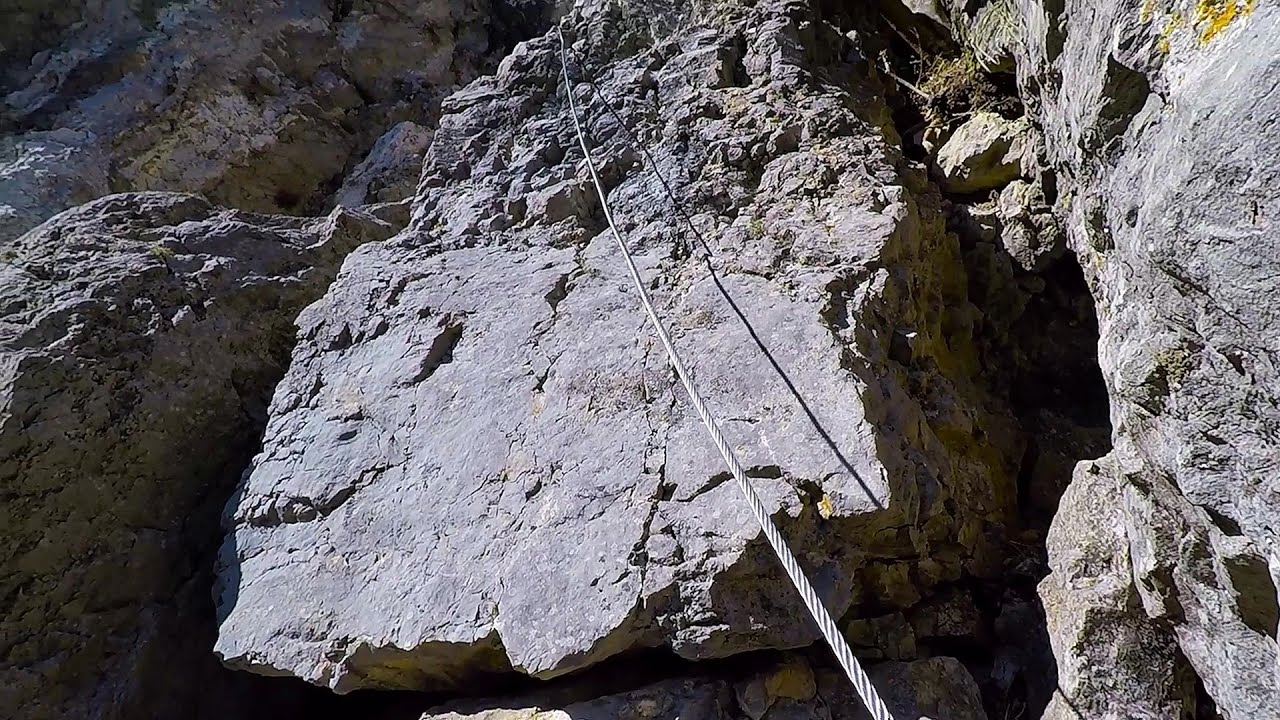
The Bear's Jump iron path - Baia de Fier 0.04 km away
The Bear's Jump (in Romanian, Saritoarea Ursului) is a fantasy-named via ferrata that opened in May 2018 near Baia de Fier, alongside the Middle Spiral (in Romanian, Spirala Medie). Both routes begin from the G zone of the rock face that conceals the Muierilor Cave.
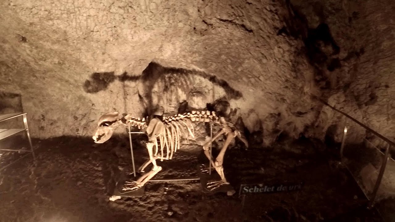
Muierii Cave - Baia de Fier 0.12 km away
We visited the Baia de Fier area, and climbed on the rock that also conceals the Women's Cave (Pestera Muierilor). Between two via ferrata routes, we also participated in one of the guided cave tours, which depart every hour.
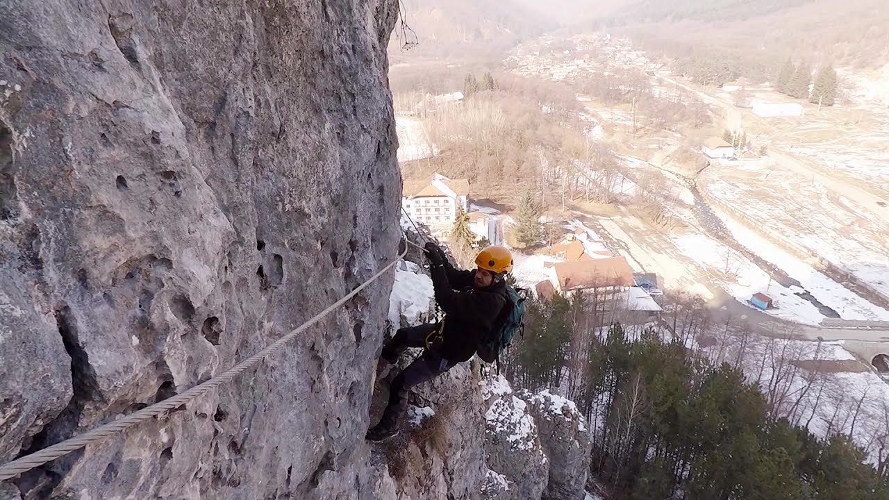
Womens Spiral, Cave Ridge, and The Great Crack iron paths - Baia de Fier 0.14 km away
Perhaps the most interesting via ferrata among the routes in the Baia de Fier area is the Womens Spiral. After completing it, I can say that it is the second most thrilling via ferrata in Romania, following the Big Via Ferrata at Rasnov.
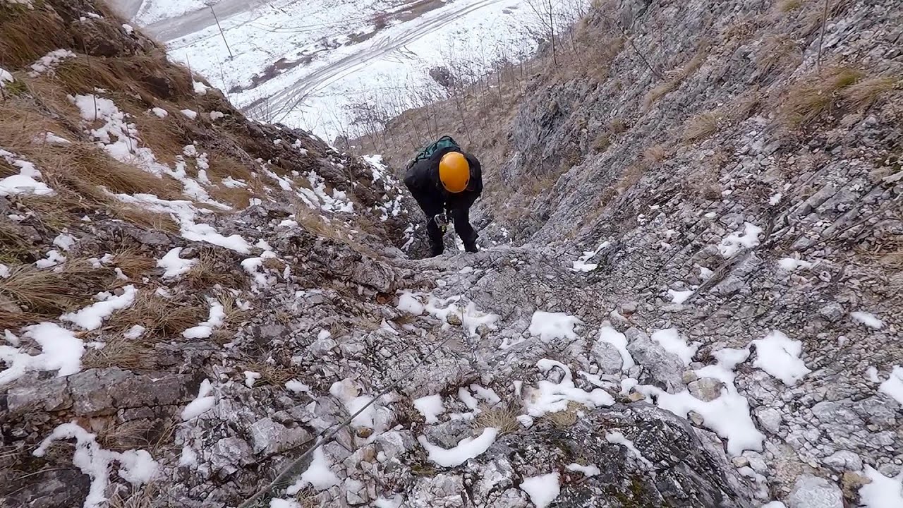
Loreley and Pink Panther iron path - Baia de Fier 0.22 km away
The Loreley via ferrata (graded B/C, with an elevation difference of approximately 100 m and a length of about 100 m) is located on the rock wall on the opposite side of the road. A branch from its upper section leads to the Pink Panther (Pantera Roz, graded A/B/C, approximately 200 meters long, with an elevation difference of about 50 meters).
Other places
Ski Gyimes ski slope Lunca de Sus 225.58 km away
The Ski Gyimes ski slope is located in Lunca de Sus, right next to the main road. It is 800 m long, the level difference is 160 m.
The Ski Gyimes ski slope is located in Lunca de Sus, right next to the main road. It is 800 m long, the level difference is 160 m.
The Gorges of the Méouge Ribiers, Upper Alps 1419.46 km away
Following today's climb, I experienced the soothing pleasure of immersing myself in the turquoise waters of the Méouge creek, in the pond beneath a waterfall. If you find yourself in Sisteron or Grenoble, do not miss the opportunity to explore the magnificent Méouge valley near Ribiers.
Following today's climb, I experienced the soothing pleasure of immersing myself in the turquoise waters of the Méouge creek, in the pond beneath a waterfall. If you find yourself in Sisteron or Grenoble, do not miss the opportunity to explore the magnificent Méouge valley near Ribiers.
Blasted Rock (Piatra Puscata) hanging path Cerna Valley 96 km away
The Blasted Rock hanging path is located on the geographical right bank of the Cerna River, near the confluence of the Iuta stream, approximately 20 km from Baile Herculane. In this area, the presence of limestone formations has caused the valley to become narrower.
The Blasted Rock hanging path is located on the geographical right bank of the Cerna River, near the confluence of the Iuta stream, approximately 20 km from Baile Herculane. In this area, the presence of limestone formations has caused the valley to become narrower.
Silberkar Gorge (Silberkarklamm) Ramsau am Dachstein, Austria 809.67 km away
One of the most beautiful hiking spots in the area of Ramsau am Dachstein, is the Silberkarklamm. It is possible to drive to the entrance of the gorge, there is parking available on the side of the road, and you have to pay an entrance fee.
One of the most beautiful hiking spots in the area of Ramsau am Dachstein, is the Silberkarklamm. It is possible to drive to the entrance of the gorge, there is parking available on the side of the road, and you have to pay an entrance fee.
Hot air balloon parade 2015 Campu Cetatii 190.43 km away
This year, the Hot Air Balloon Parade was organized in Campu Cetatii for the tenth time. Unfortunately, the weather only allowed for flying on Saturday morning and evening.
This year, the Hot Air Balloon Parade was organized in Campu Cetatii for the tenth time. Unfortunately, the weather only allowed for flying on Saturday morning and evening.
[ Top ↑ ]
[ Top ↑ ]
Copyright © 2003-2025 Trekkingklub and friends. Reproduction of any text, picture or video from this website, either in printed or electronic form, is prohibited without prior written permission. Nearby settlements: Baia de Fier 2.34 km away, Tourist attractions Baia de Fier 2.34 km away. The given distances are to be understood as straight line distances, and are approximate. Website made in Miercurea Ciuc  .
.
 .
.