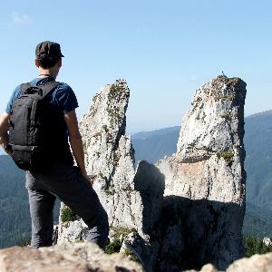
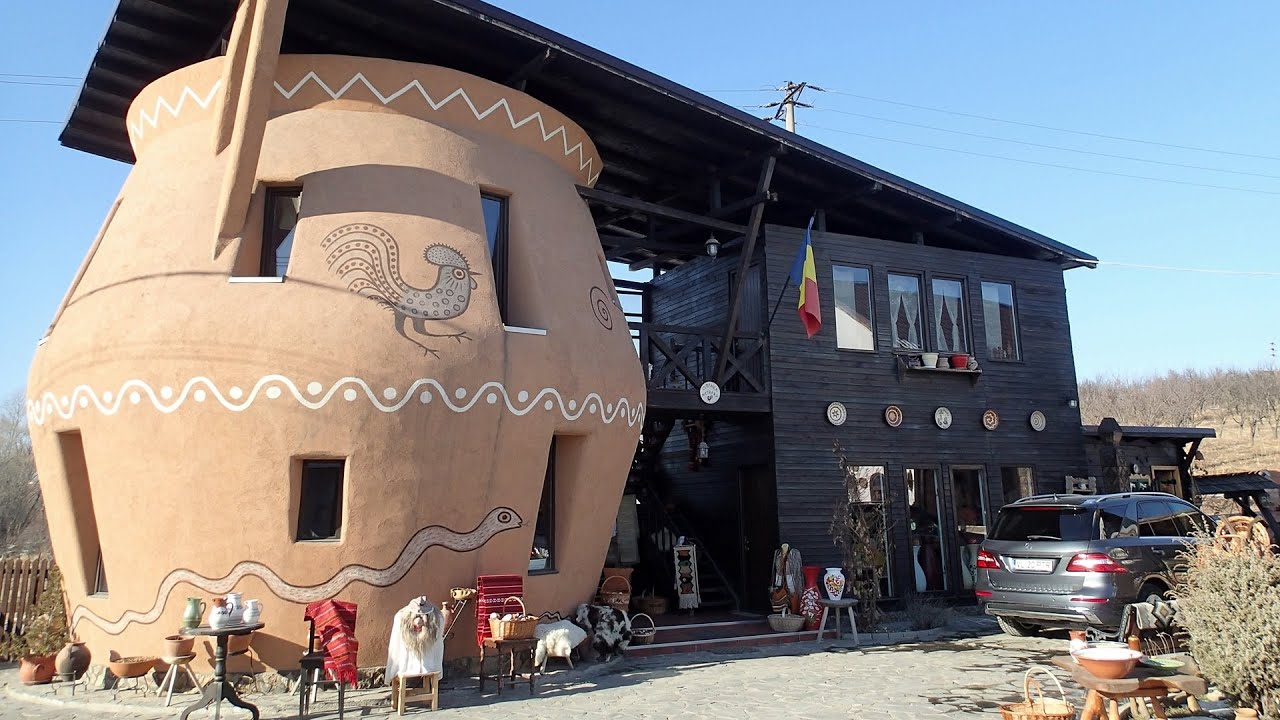
Trovants Museum Natural Reserve - Costesti - video
Filmed with GoPro HERO5 Black. Music: Deserted City by Kai Engel. Copyright © 2017 - 2025 Geo Trekker Videos.
Already published 8167 photos and 116 videos. Please register for full access.
Photos of nearby places

Muierii cave - Parang Mountains (11 photos) 25.47 km away
The Muierii Cave is situated at the southern foot of the Parang Mountains in the Baia de Fier area of Gorj County. Numerous climbing routes have been established on the rocks above the cave and on the opposite side of the road.

Doabra Snail Shells - Brezoi (12 photos) 27.64 km away
Doabra Valley - Calinesti-Brezoi forest - Lotru Valley, Cozia National Park.

Circular hiking tour in Cozia Mountain (48 photos) 29.28 km away
Arutela - Turnu monastery - Rosiei Rocks - Turneanu ridge - Cozia peak - Stone portal - Stanisoara monastery - Gardului waterfall.
[ Top ↑ ]
Videos of nearby places
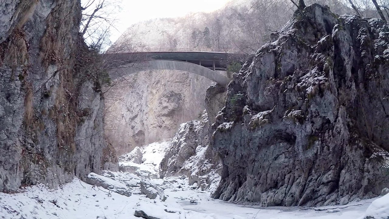
Oltet Gorges - Capatanii Mountains 23.96 km away
That day, we had planned to ski at the Ranca resort, situated alongside the Transalpina road in the Parang Mountains. Unfortunately, the minimal snowfall made skiing unfeasible, so we had to find an alternative activity on our way home.
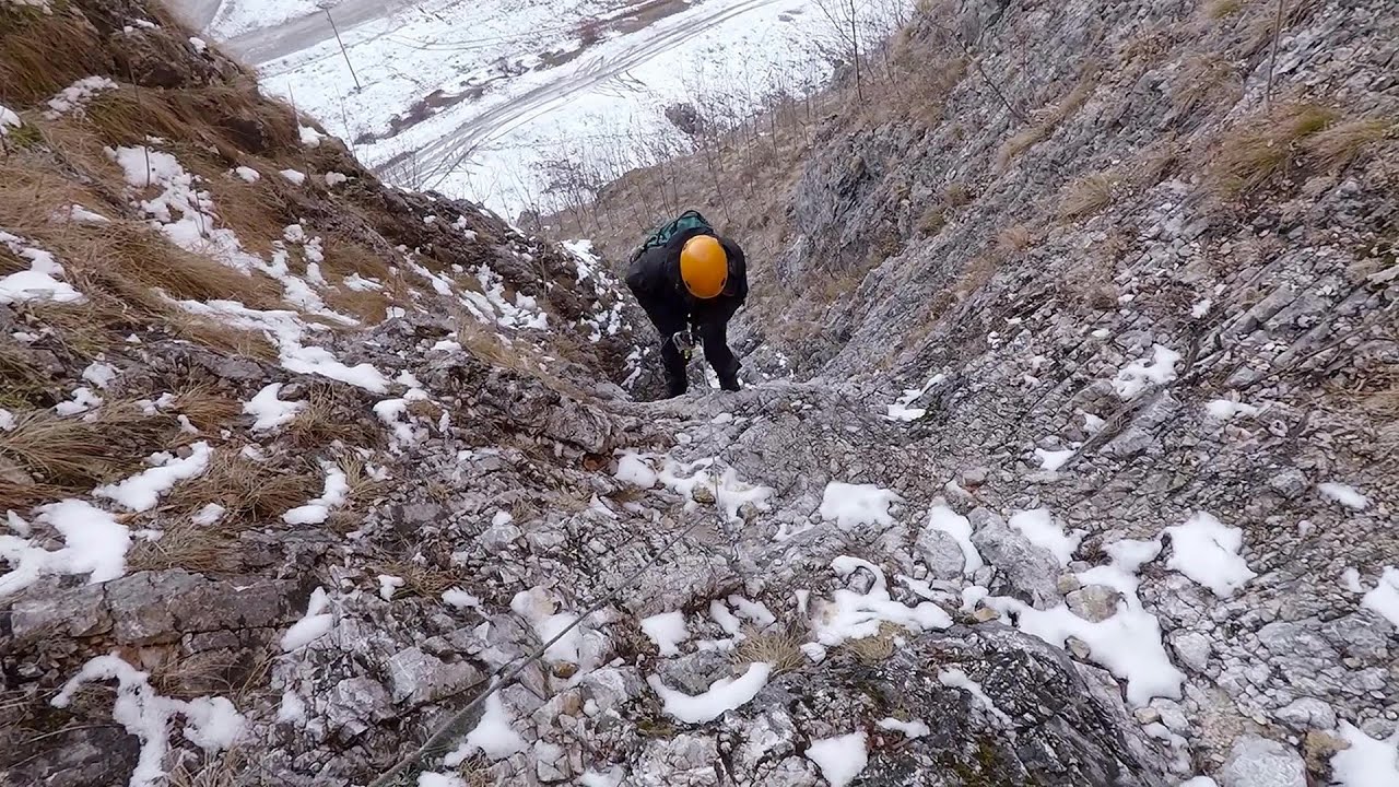
Loreley and Pink Panther iron path - Baia de Fier 25.25 km away
The Loreley via ferrata (graded B/C, with an elevation difference of approximately 100 m and a length of about 100 m) is located on the rock wall on the opposite side of the road. A branch from its upper section leads to the Pink Panther (Pantera Roz, graded A/B/C, approximately 200 meters long, with an elevation difference of about 50 meters).
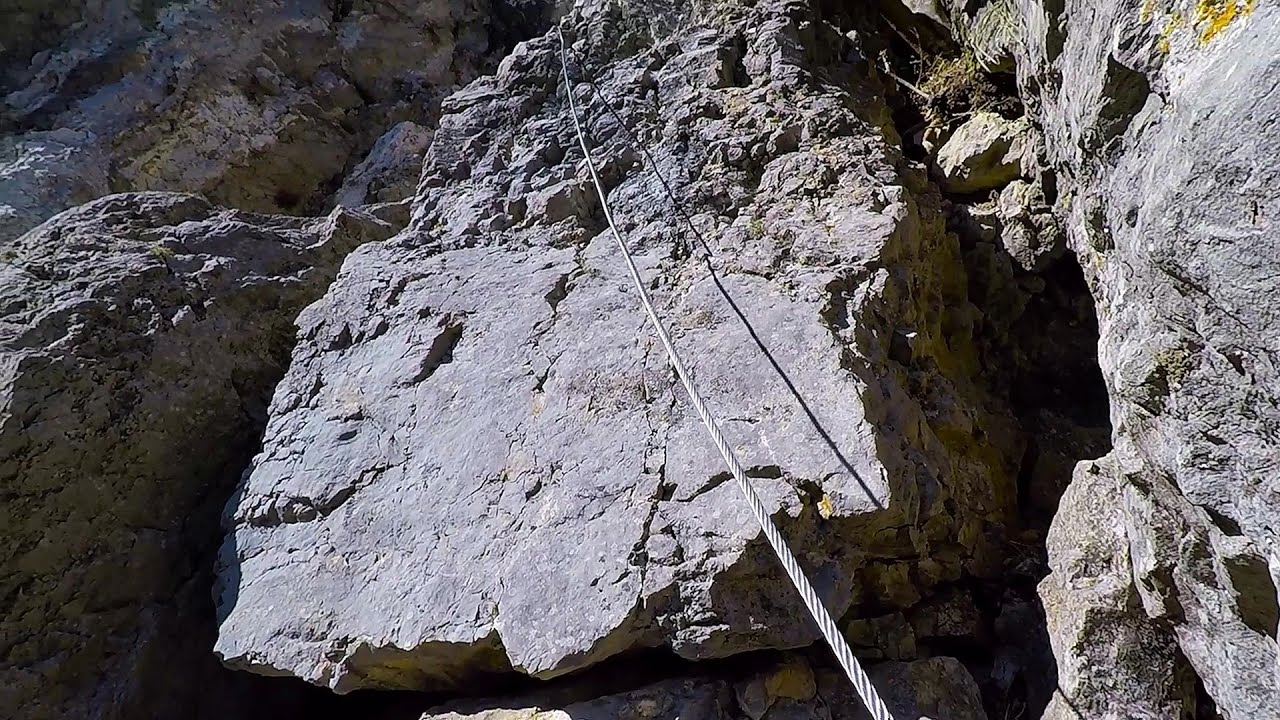
The Bear's Jump iron path - Baia de Fier 25.33 km away
The Bear's Jump (in Romanian, Saritoarea Ursului) is a fantasy-named via ferrata that opened in May 2018 near Baia de Fier, alongside the Middle Spiral (in Romanian, Spirala Medie). Both routes begin from the G zone of the rock face that conceals the Muierilor Cave.
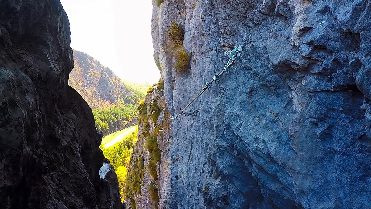
Spirala Medie iron path - Baia de Fier 25.36 km away
In May 2018, two new via ferrata routes were inaugurated in Baia de Fier. Both start from section G of the rock face hiding the Muierilor Cave, and their initial stages are shared.
Other places
Shipka pass Shipka 283.95 km away
The Shipka Pass is one of the most spectacular crossings of the Balkan Mountains, and is part of the Bulgarka Nature Park. It separates the provinces of Gabrovo and Stara Zagora, and provides a connection between the cities of Gabrovo and Kazanlak.
The Shipka Pass is one of the most spectacular crossings of the Balkan Mountains, and is part of the Bulgarka Nature Park. It separates the provinces of Gabrovo and Stara Zagora, and provides a connection between the cities of Gabrovo and Kazanlak.
Bovska Skaklya waterfall Iskar gorge 241.06 km away
The Bovska Skaklya waterfall is located near the town of Svoge in Bulgaria. The waterfall formed on the Zaselska River has several reported heights online (120 m, 85 m).
The Bovska Skaklya waterfall is located near the town of Svoge in Bulgaria. The waterfall formed on the Zaselska River has several reported heights online (120 m, 85 m).
Ski Gyimes ski slope Lunca de Sus 212.17 km away
The Ski Gyimes ski slope is located in Lunca de Sus, right next to the main road. It is 800 m long, the level difference is 160 m.
The Ski Gyimes ski slope is located in Lunca de Sus, right next to the main road. It is 800 m long, the level difference is 160 m.
Siega Klettersteig Silberkarklamm, Ramsau am Dachstein 835.48 km away
The Siega Klettersteig, categorized as a C/D level of difficulty, is perhaps the least interesting of the three via ferratas in the Silberkarklamm gorge. This doesn't mean that it's not good, just that the other two are even better.
The Siega Klettersteig, categorized as a C/D level of difficulty, is perhaps the least interesting of the three via ferratas in the Silberkarklamm gorge. This doesn't mean that it's not good, just that the other two are even better.
Walking to the top of Sumuleul Mare Sumuleu Ciuc 194.09 km away
This was my first attempt at shooting a video.
This was my first attempt at shooting a video.
[ Top ↑ ]
[ Top ↑ ]
Copyright © 2003-2025 Trekkingklub and friends. Reproduction of any text, picture or video from this website, either in printed or electronic form, is prohibited without prior written permission. Nearby settlements: Costesti 1.15 km away, Tourist attractions Costesti 1.15 km away. The given distances are to be understood as straight line distances, and are approximate. Website made in Miercurea Ciuc  .
.
 .
.