Vadu Crisului cave - video
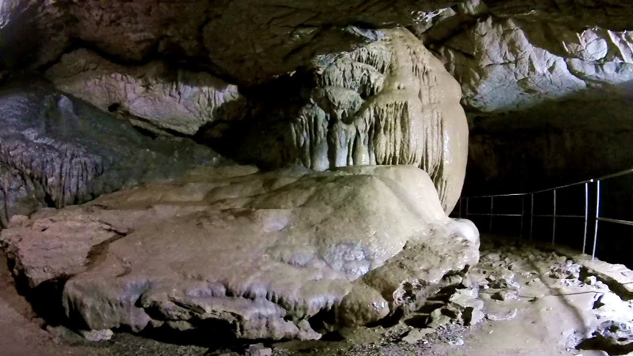
The Vadu Crisului Cave, with a total length of over 1000 meters, is located in the picturesque gorge of Crisul Repede creek. It consists of a gently meandering, long passage that features an active, stream level next to an upper, fossil level in its first section.
Read more
Filmed with SJCAM SJ5000 Plus. Music: Rainfall Serenade by Kai Engel. Copyright © 2016 - 2025 Geo Trekker Videos.
Already published 8162 photos and 136 videos. Please register for full access.
Photos of nearby places

Cave of Winds (Pestera Vantului) - Padurea Craiului Mountains (24 photos) 3.53 km away
The Cave of Winds is located in the Padurea Craiului Mountains, not far from Frantura meadow, near Suncuius, on the left geographical side of the Crisul Repede River. The Cave of Winds was discovered in 1957 by Béla Bagaméri and is currently (as of 2003) the longest cave system known in Romania as well as in the Carpathian Basin.
[ Top ↑ ]
Videos of nearby places

Fairy Cliff (Peretele Zanelor) via ferrata route - Vadu Crisului 0.99 km away
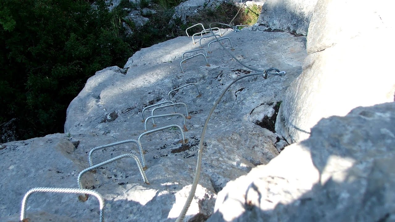
In Vadu Crisului, in the Padurea Craiului Mountains, on the right bank of the Crisul Repede, you can find the newest, in chronological order (2015) the fifth Transylvanian, new type of via ferrata route. I will not count here the traditional iron paths, the high-mountain hiking trails, partly secured with iron cables, or the rock canyons with iron ladders and footbridges.

Via Ferrata Fairy Castle (Castelul Zanelor, Casa Zmeului, The House of the Dragon) - Vadu Crisului 1.08 km away
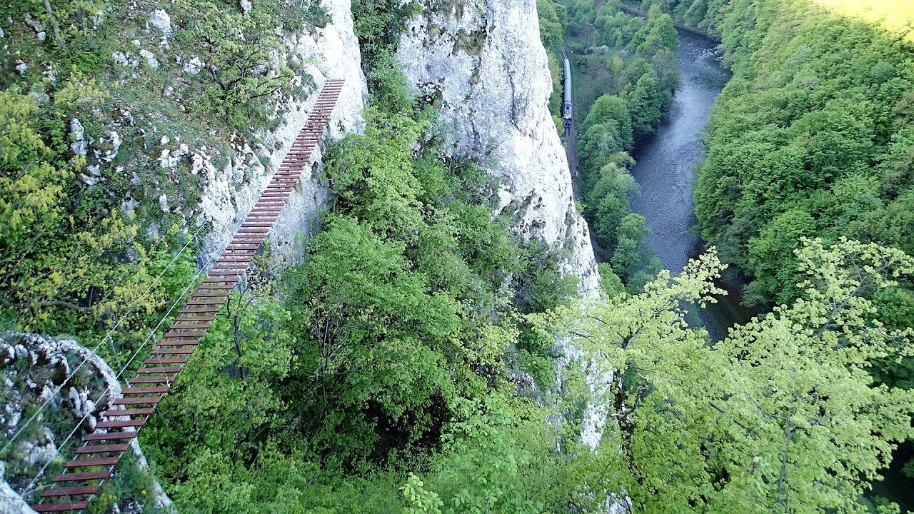
South of Vadu Crisului, in the Padurea Craiului Mountains, lies the Vadu Crisului Gorge, a section of the Crisul Repede river that narrows between rocky walls. In the Middle Ages, there was intense log transportation activity here, and the transport of salt and timber to Hungary passed through this area.

Hodoaba Valley iron path - Suncuius 4.31 km away
The Hodoaba Valley iron path is Romania's shortest and easiest (official) via ferrata route. It is located near Suncuius, in the Padurea Craiului Mountains, on the left bank of the Crisul Repede River.

Crystal Cave at Farcu Mine 17.4 km away
In the Padurea Craiului Mountains, near Rosia, in the Farcu bauxite mine, in 1987, the miners accidentally discovered a cave. It was filled with crystal-shaped limestone formations.

Meziad cave - Padurea Craiului Mountains 22.27 km away
The Meziad Cave is located near the village of Meziad, 22 km north of Beius, in the Padurea Craiului Mountains. It is one of our first tourist caves, its exploration is associated with the name of Gyula Czárán, cave researcher and writer.
Other places
Wild Ferenc iron path Suhardul Mic 250.11 km away
While I climbed the new iron path mostly in the dark for the first time, this time I managed to explore it during the day. But I still missed the sunset by a few minutes.
While I climbed the new iron path mostly in the dark for the first time, this time I managed to explore it during the day. But I still missed the sunset by a few minutes.
The Amphitheater of the Dragons (Amfiteatrul Zmeilor) Baia de Fier 219.22 km away
The Amphitheater of the Dragons is the seventh (2017) via ferrata route in Baia de Fier. It was inaugurated last year, on December 26, 2017, after Christmas.
The Amphitheater of the Dragons is the seventh (2017) via ferrata route in Baia de Fier. It was inaugurated last year, on December 26, 2017, after Christmas.
Via ferrata Tatabánya 317.16 km away
I climbed Kata! Who is Kata?
I climbed Kata! Who is Kata?
Sheepdogs Govora sheepfold Retezat mountains 177.61 km away
On the second day of my weekend Retezat hike, I visited a sheepfold on the Lancita Ridge. To my great disappointment, they didn't make cheese or curd here.
On the second day of my weekend Retezat hike, I visited a sheepfold on the Lancita Ridge. To my great disappointment, they didn't make cheese or curd here.
Shiroka Laka village Smolyan 610.22 km away
Shiroka Laka is one of the most beautiful villages in Bulgaria. It is located in the Rhodope Mountains, in the Smolyan province, in the southern part of the country.
Shiroka Laka is one of the most beautiful villages in Bulgaria. It is located in the Rhodope Mountains, in the Smolyan province, in the southern part of the country.
[ Top ↑ ]
[ Top ↑ ]
Copyright © 2003-2025 Trekkingklub and friends. Reproduction of any text, picture or video from this website, either in printed or electronic form, is prohibited without prior written permission. Nearby settlements: Suncuius 2.56 km away, Tourist attractions Suncuius 2.56 km away. The given distances are to be understood as straight line distances, and are approximate. Website made in Miercurea Ciuc  .
.
 .
.


