Red Ravine - Sebes - photos
Copyright © 2011 - 2025 Trekkingklub.com.
Already published 8162 photos and 136 videos. Please register for full access.
Photos of nearby places

Goat Stone (Piatra Craivii, Piatra Craivei, Apulon) - Craiva, Trascau Mountains (18 photos) 26.24 km away

Stone of Cetea, Horse Pit (The pit cave from the Stone of Cetea) - Trascau Mountains (16 photos) 32.08 km away
[ Top ↑ ]
Videos of nearby places
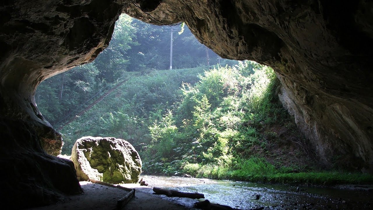
Bolii Cave - Banita 62.9 km away
The Bolii Cave is located 6 km north of Petrosani, on the road that connects Hateg with the Jiu Valley. Here, the railway line that connects the two parts of Hunedoara County passes through, featuring a total of 66 curves and 8 tunnels.
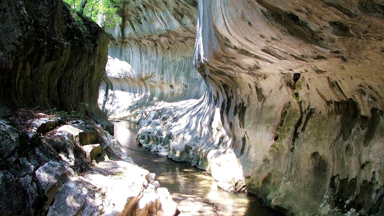
Banita Gorges and Banita rock bridge 63.43 km away
They say about this place that only very few people know about it, but that's not true. In fact, most nature lovers have heard of it, seen pictures taken here, even if not everyone has been able to come here.
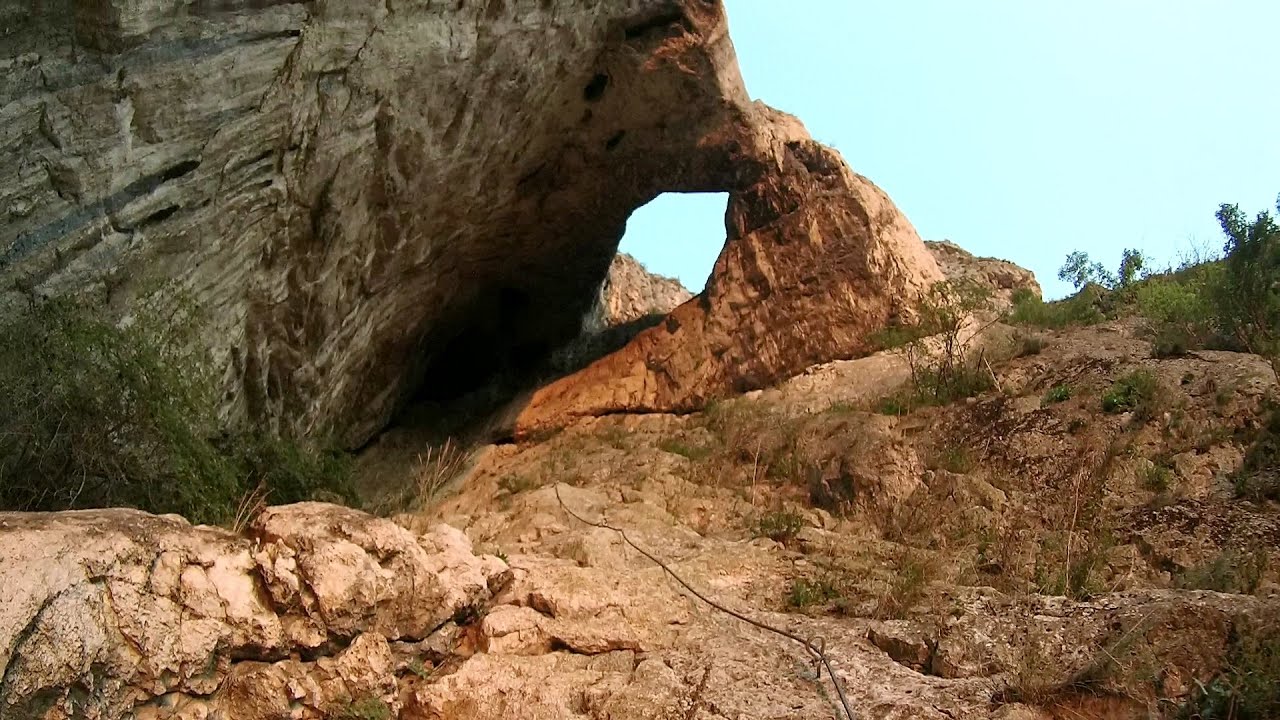
Hili cove iron path - Turda Gorges 64.72 km away
While the first time I climbed this via ferrata in the morning, now I climbed it in the light of the setting sun. The red-dressed rocks created a special atmosphere, and I could admire the sunset from the top of the climbing route.
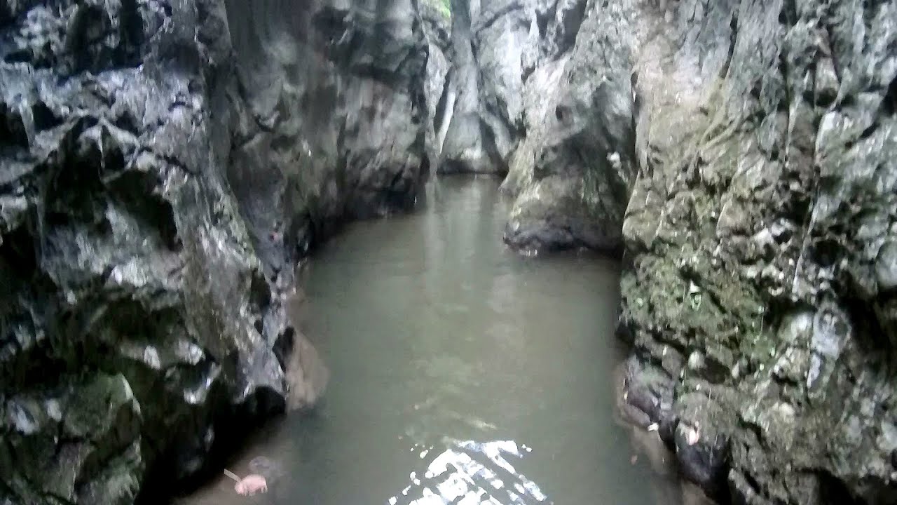
Crivadia Gorges 65.45 km away
The Crivadia Gorge is located next to the village of Crivadia, which belongs to Banita. Access is difficult, and the hike is made through the streambed, with water up to the waist at its narrowest point.
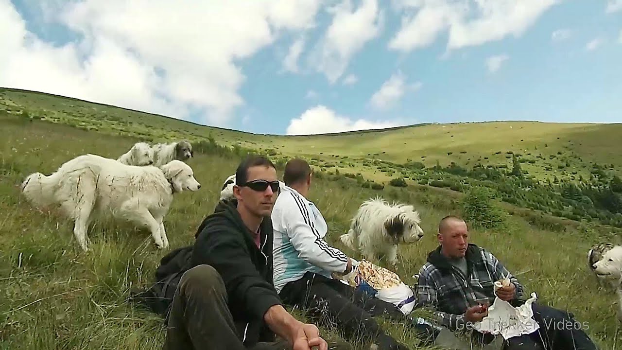
Sheepdogs - Govora sheepfold - Retezat mountains 80.61 km away
On the second day of my weekend Retezat hike, I visited a sheepfold on the Lancita Ridge. To my great disappointment, they didn't make cheese or curd here.
Other places
Pricske peak Giurgeu Mountains 179.17 km away
If we want to reach Pricske (Prisca) peak, which rises above Gheorgheni and Lazarea, we start from the valley of the Güdüc (Ghidut) stream. Our path leads us past the ruins of a building known as the White House.
If we want to reach Pricske (Prisca) peak, which rises above Gheorgheni and Lazarea, we start from the valley of the Güdüc (Ghidut) stream. Our path leads us past the ruins of a building known as the White House.
Lonely Stone (Piatra Singuratica) Hasmas Mountains 188.28 km away
On June 1, 2003, with a small group of friends, I left Balan, walking along the valley of the Sep (Beautiful) stream towards the Lonely Stone (Piatra Singuratica). Those who were with me at the time fell behind, and then other people joined for the hike.
On June 1, 2003, with a small group of friends, I left Balan, walking along the valley of the Sep (Beautiful) stream towards the Lonely Stone (Piatra Singuratica). Those who were with me at the time fell behind, and then other people joined for the hike.
Canyon of Waterfalls Smolyan 496.49 km away
The eco-trail known as the Canyon of Waterfalls is located in Bulgaria, within the Rhodope Mountains and the Soskovcheto Nature Reserve. It begins at the edge of the Sredoka suburb of the city of Smolyan.
The eco-trail known as the Canyon of Waterfalls is located in Bulgaria, within the Rhodope Mountains and the Soskovcheto Nature Reserve. It begins at the edge of the Sredoka suburb of the city of Smolyan.
Borov Kamak waterfall Zgorigrad, Vratsa 315.23 km away
The Vratsa eco-trail starts from the village of Zgorigrad, located 6 km from the city of Vratsa in Bulgaria, and ends at the Parshevitza hut. It is also known as the Zgorigradska or Borov Kamak eco-trail.
The Vratsa eco-trail starts from the village of Zgorigrad, located 6 km from the city of Vratsa in Bulgaria, and ends at the Parshevitza hut. It is also known as the Zgorigradska or Borov Kamak eco-trail.
Via ferrata Dachstein Gams Krippenstein, Obertraun am Hallstättersee 772.54 km away
The Dachstein Gams is a new via ferrata route on Krippenstein. It has three parts: Himmeleck (A/B), Gams (C), and Nordwand (E).
The Dachstein Gams is a new via ferrata route on Krippenstein. It has three parts: Himmeleck (A/B), Gams (C), and Nordwand (E).
[ Top ↑ ]
[ Top ↑ ]
Copyright © 2003-2025 Trekkingklub and friends. Reproduction of any text, picture or video from this website, either in printed or electronic form, is prohibited without prior written permission. Nearby settlements: Lancram 2.67 km away, Tourist attractions Sebes 3.66 km away. The given distances are to be understood as straight line distances, and are approximate. Website made in Miercurea Ciuc  .
.
 .
.


