Caras fortress - Aninei Mountains - photos
Copyright © 2011 - 2025 Trekkingklub.com.
Already published 8162 photos and 136 videos. Please register for full access.
Photos of nearby places

Beusnita waterfall (8 photos) 31.34 km away
Cascada Beusnita, located in the Caras-Severin county, is one of the most impressive waterfalls in the Anina Mountains. The water falling from a height of approximately 15 m, into a clearing in the middle of the forest, creates a uniquely picturesque landscape.
[ Top ↑ ]
Videos of nearby places
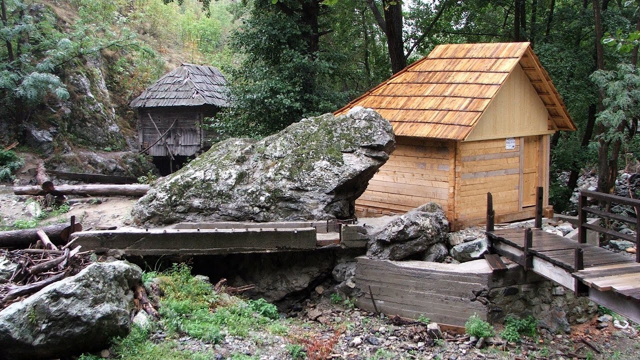
Rudariei watermills - Eftimie Murgu 41.46 km away
I have visited the twenty-two wooden water mills with horizontal wheels, located in the valley of the Rudaria stream, mostly in the rain and under an umbrella. Some of them are still in use today.
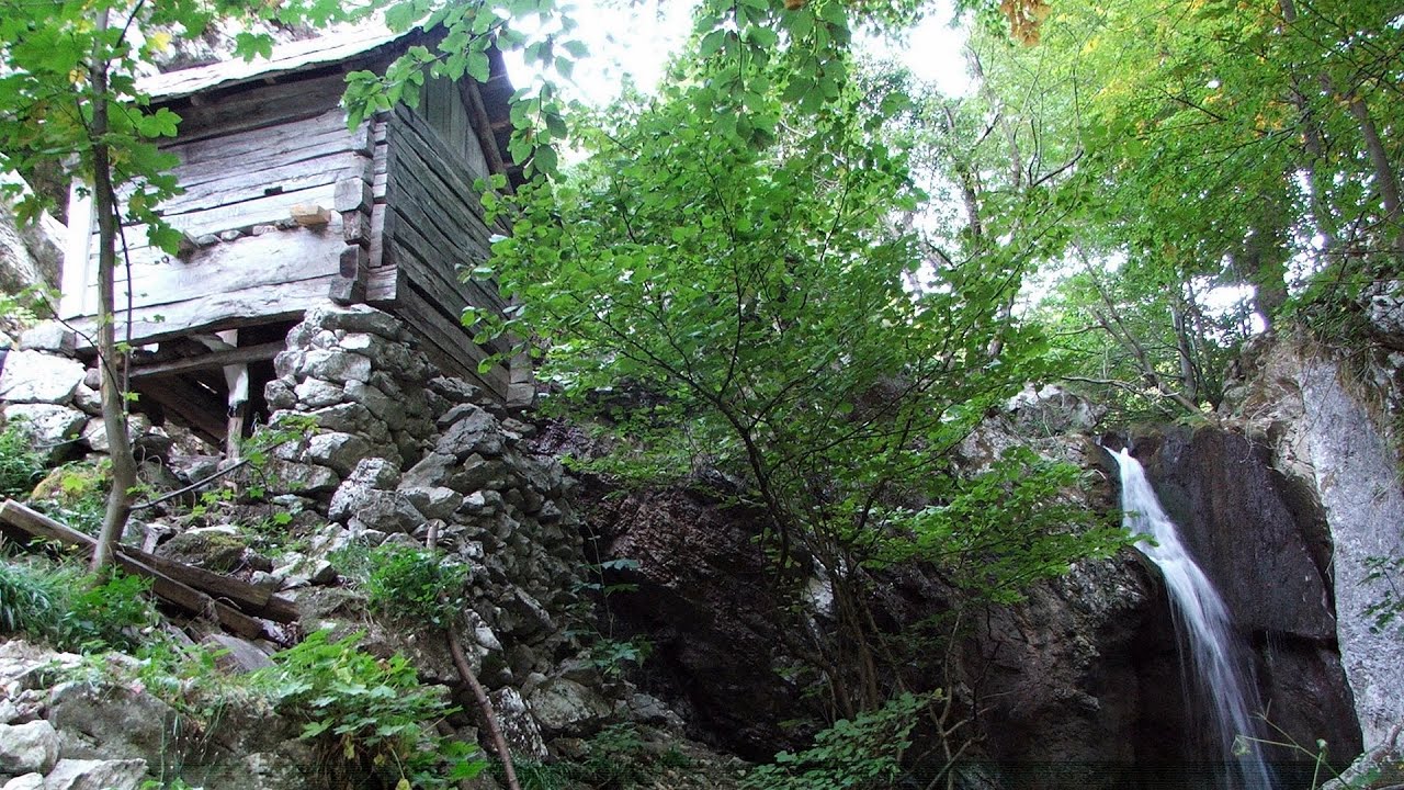
Mill of the Devils (Moara Dracilor) - Tasna Gorges (Cheile Tasnei) 55.75 km away
The Tasna Gorges are located in the Mehedinti Mountains, approximately 15 km from the resort of Baile Herculane. The gorges are part of the Domogled - Cerna Valley (Valea Cernei) National Park.
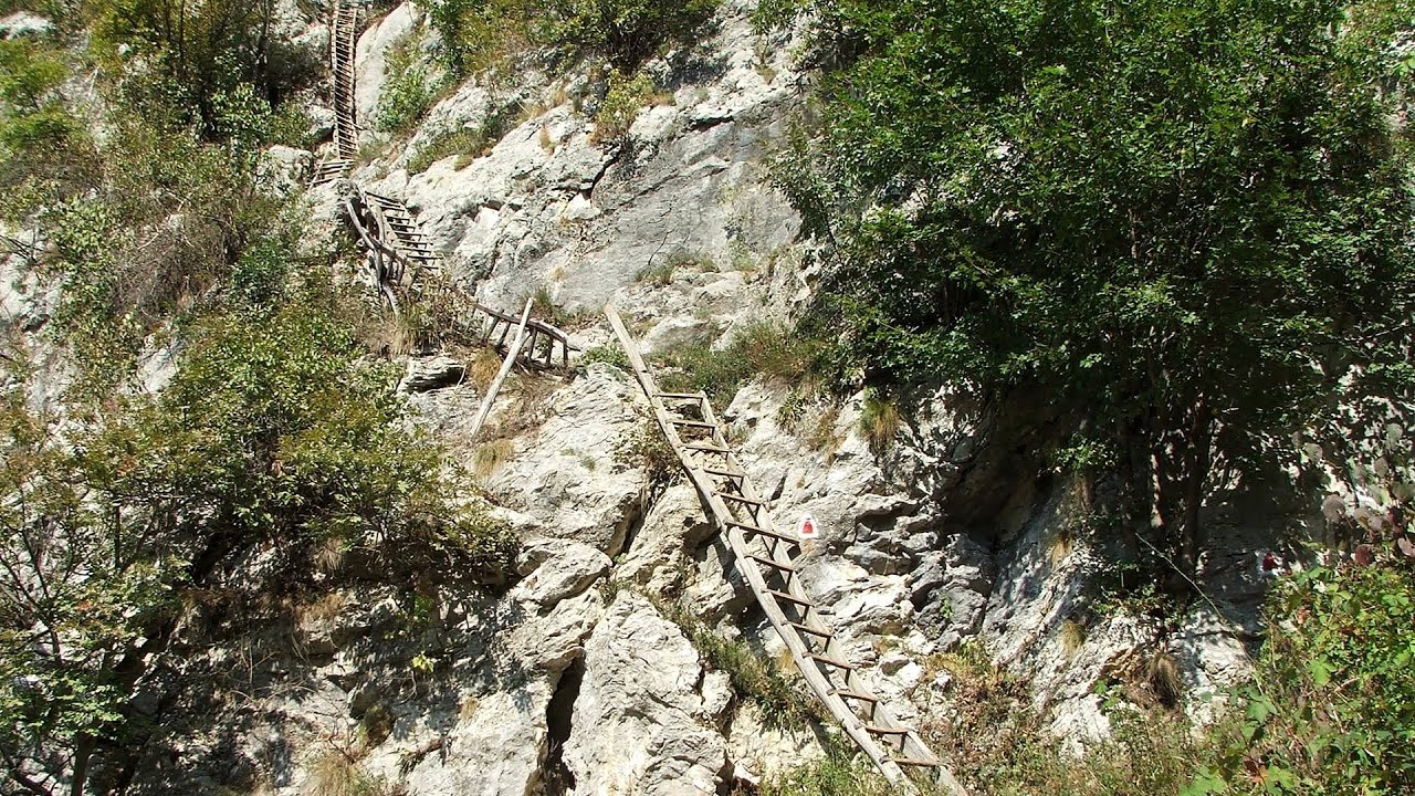
The Wooden Ladders - The villages of Scarisoara and Inelet, Cerna valley 55.92 km away
Scarisoara and Inelet are small, isolated villages located in the mountainous region of Banat. They are situated on the right bank of the Cerna River, approximately 19 km away from the Baile Herculane resort.
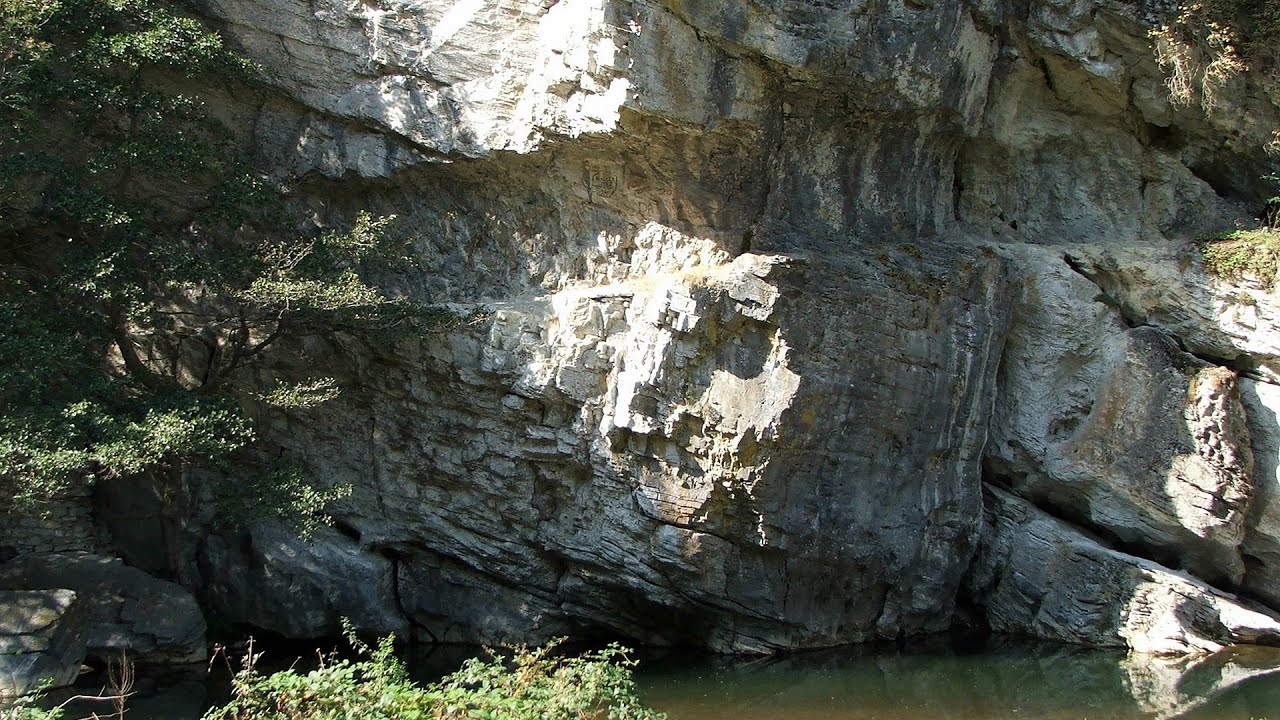
Blasted Rock (Piatra Puscata) hanging path - Cerna Valley 56.28 km away
The Blasted Rock hanging path is located on the geographical right bank of the Cerna River, near the confluence of the Iuta stream, approximately 20 km from Baile Herculane. In this area, the presence of limestone formations has caused the valley to become narrower.
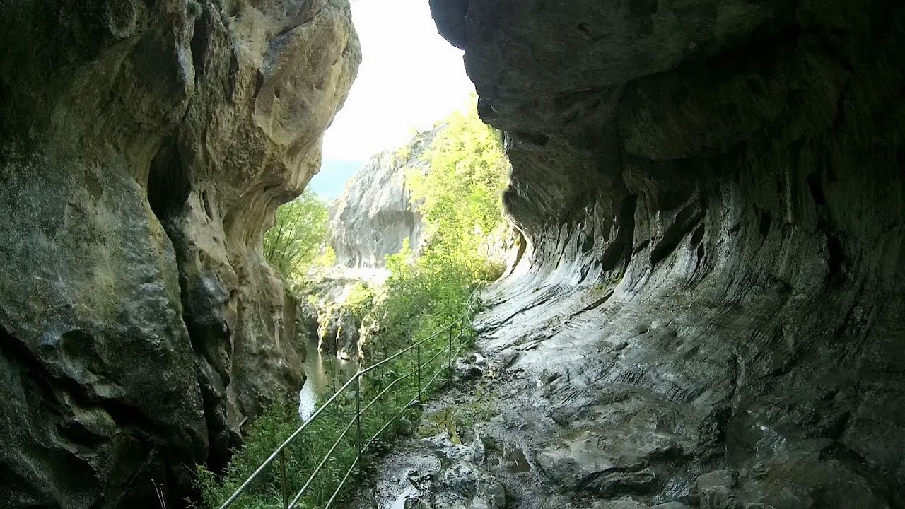
Corcoaia Gorge - Gorj county 63.52 km away
The Corcoaia Gorge is one of the most beautiful tourist attractions in the Cerna Valley. It can be reached by car, 43 km away from Baile Herculane, of which about 17 km is on a dusty gravel road.
Other places
Siega via ferrata Silberkar Gorge, Ramsau am Dachstein 675.06 km away
The Siega via ferrata, categorized as a C/D level of difficulty, is perhaps the least interesting of the three via ferrata routes in the Silberkar Gorge (Silberkarklamm). This doesn't mean that it's not good, just that the other two are even better.
The Siega via ferrata, categorized as a C/D level of difficulty, is perhaps the least interesting of the three via ferrata routes in the Silberkar Gorge (Silberkarklamm). This doesn't mean that it's not good, just that the other two are even better.
Womens Spiral, Cave Ridge, and The Great Crack iron paths Baia de Fier 145.98 km away
Perhaps the most interesting via ferrata among the routes in the Baia de Fier area is the Womens Spiral. After completing it, I can say that it is the second most thrilling via ferrata in Romania, following the Big Via Ferrata at Rasnov.
Perhaps the most interesting via ferrata among the routes in the Baia de Fier area is the Womens Spiral. After completing it, I can say that it is the second most thrilling via ferrata in Romania, following the Big Via Ferrata at Rasnov.
Loreley and Pink Panther iron path Baia de Fier 146.22 km away
The Loreley via ferrata (graded B/C, with an elevation difference of approximately 100 m and a length of about 100 m) is located on the rock wall on the opposite side of the road. A branch from its upper section leads to the Pink Panther (Pantera Roz, graded A/B/C, approximately 200 meters long, with an elevation difference of about 50 meters).
The Loreley via ferrata (graded B/C, with an elevation difference of approximately 100 m and a length of about 100 m) is located on the rock wall on the opposite side of the road. A branch from its upper section leads to the Pink Panther (Pantera Roz, graded A/B/C, approximately 200 meters long, with an elevation difference of about 50 meters).
Kamenni Gabi (Stone Mushrooms) Beli Plast 475.89 km away
The Stone Mushrooms (Kamenni Gabi) nature reserve in Bulgaria is situated east of the village of Beli Plast, along the road that connects Kardzhali to Haskovo. Spanning an area of 3 hectares, the reserve is home to several mushroom-shaped rock formations.
The Stone Mushrooms (Kamenni Gabi) nature reserve in Bulgaria is situated east of the village of Beli Plast, along the road that connects Kardzhali to Haskovo. Spanning an area of 3 hectares, the reserve is home to several mushroom-shaped rock formations.
Mammoth Cave (Mammuthöhle) Dachstein Salzkammergut, Obertraun am Hallstättersee 678.35 km away
The first station of the Dachstein Krippenstein cable car, which starts in Obertraun, in the southern part of Lake Hallstatt, is Schönbergalm. Here you can find the Giant Ice Cave (Rieseneishöhle) and the Mammoth Cave (Mammuthöhle).
The first station of the Dachstein Krippenstein cable car, which starts in Obertraun, in the southern part of Lake Hallstatt, is Schönbergalm. Here you can find the Giant Ice Cave (Rieseneishöhle) and the Mammoth Cave (Mammuthöhle).
[ Top ↑ ]
[ Top ↑ ]
Copyright © 2003-2025 Trekkingklub and friends. Reproduction of any text, picture or video from this website, either in printed or electronic form, is prohibited without prior written permission. Nearby settlements: Iabalcea 2.21 km away, Tourist attractions near Carasova 2.43 km away. The given distances are to be understood as straight line distances, and are approximate. Website made in Miercurea Ciuc  .
.
 .
.


