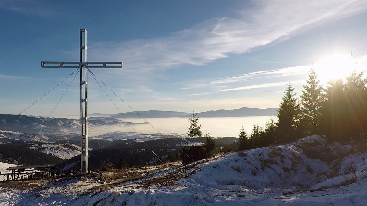
Pietrosu Bistritei peak - Bistritei Mountains - photos
Copyright © 2009 - 2025 Trekkingklub.com.
Already published 8162 photos and 136 videos. Please register for full access.
Photos of nearby places
[ Top ↑ ]
Videos of nearby places
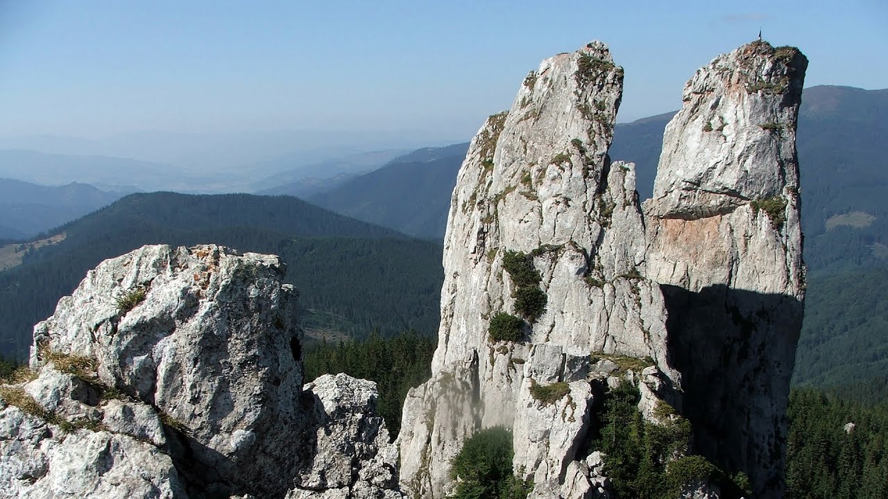
Lady's Stones - Rarau Mountains 8.01 km away
The Lady's Stones represent the heart, the mind, and the soul. The first two only help to understand the world when one possesses knowledge (they can be climbed with rock climbing gear), as emotions and thoughts (the two rock towers) obscure reality (the view).
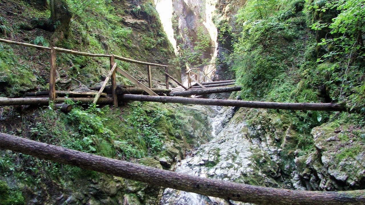
Devil's Mill Gorge - Campulung Moldovenesc 12.17 km away
The Devil's Mill Gorge is relatively short, measuring only 60 to 70 meters in length. It was formed in yellowish-gray-white dolomite by the work of a stream that crosses the gorge, as a result of erosion and the dissolution characteristic of limestone.
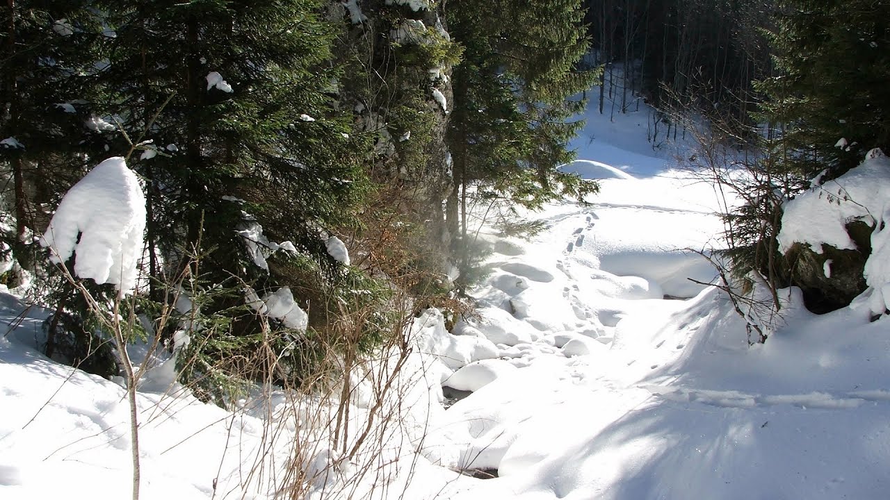
With snowshoes in the Tihu creek valley - Rastolita 44.97 km away
We met geotrekking treasure hunters from Gheorgheni, Miercurea Ciuc and Targu Mures in Rastolita. We entered the Calimani Mountains with an off-road vehicle, along the Rastolita and Tihu streams.
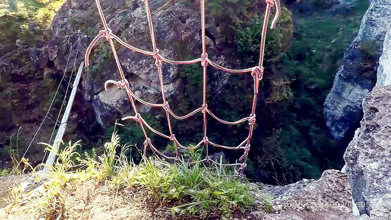
Via ferrata Bear Cave adventure and climbing zone - Borsec 45.72 km away
The Bear Cave in Borsec is a vast natural formation, scattered with rocks and deep crevices. Access to the cave's cavities is through a series of narrow formations resembling canyons, surrounded by giant fir trees and rocks with interesting shapes.
Pricske peak - Giurgeu Mountains 64.9 km away
If we want to reach Pricske (Prisca) peak, which rises above Gheorgheni and Lazarea, we start from the valley of the Güdüc (Ghidut) stream. Our path leads us past the ruins of a building known as the White House.
Other places
Kaiserschild Klettersteig Eisenerzer Ramsau 805.22 km away
The 2,085-meter-high Kaiserschild peak is situated on the northern edge of the Eisenerz Alps in Styria, Austria. It forms a double summit with the slightly taller Hochkogel peak, which stands at 2,105 meters.
The 2,085-meter-high Kaiserschild peak is situated on the northern edge of the Eisenerz Alps in Styria, Austria. It forms a double summit with the slightly taller Hochkogel peak, which stands at 2,105 meters.
Suchurum waterfall Karlovo 528.28 km away
The 15-meter-high Suchurum Waterfall is located at the foot of the Stara Planina mountain range, 1 km north of the town of Karlovo in Bulgaria. It is situated below the Karlovo hydroelectric power plant, on the waters of the Stara Reka stream.
The 15-meter-high Suchurum Waterfall is located at the foot of the Stara Planina mountain range, 1 km north of the town of Karlovo in Bulgaria. It is situated below the Karlovo hydroelectric power plant, on the waters of the Stara Reka stream.
Seven Ladder Canyon in Winter Piatra Mare Mountain 201.24 km away
Seven Ladder Canyon and Waterfall in Winter - Piatra Mare Mountain
Seven Ladder Canyon and Waterfall in Winter - Piatra Mare Mountain
Prohodna cave (The Eyes of God) Karlukovo 481.02 km away
The cave nicknamed The Eyes of God is located in Bulgaria, in the Iskar Gorge, on one of the largest karst areas in Bulgaria, 2 km from the town of Karlukovo. It is essentially a 262-meter-long natural stone bridge, with a large (45 m high) and a small (35 m high) entrance.
The cave nicknamed The Eyes of God is located in Bulgaria, in the Iskar Gorge, on one of the largest karst areas in Bulgaria, 2 km from the town of Karlukovo. It is essentially a 262-meter-long natural stone bridge, with a large (45 m high) and a small (35 m high) entrance.
Jacob Hill Lookout Western Mecsek 581.23 km away
Jacob Hill is a popular hiking destination in Western Mecsek, with an elevation of 592 m. At the top, there are the ruins of a Pauline monastery and a lookout tower.
Jacob Hill is a popular hiking destination in Western Mecsek, with an elevation of 592 m. At the top, there are the ruins of a Pauline monastery and a lookout tower.
[ Top ↑ ]
[ Top ↑ ]
Copyright © 2003-2025 Trekkingklub and friends. Reproduction of any text, picture or video from this website, either in printed or electronic form, is prohibited without prior written permission. Nearby settlements: Chiril 2.89 km away, Tourist attractions Crucea 6.12 km away. The given distances are to be understood as straight line distances, and are approximate. Website made in Miercurea Ciuc  .
.
 .
.


