Canyon of Waterfalls eco-trail - Smolyan - photos


Page no. 1, photos: 1-6, 8 photos in total. >>>

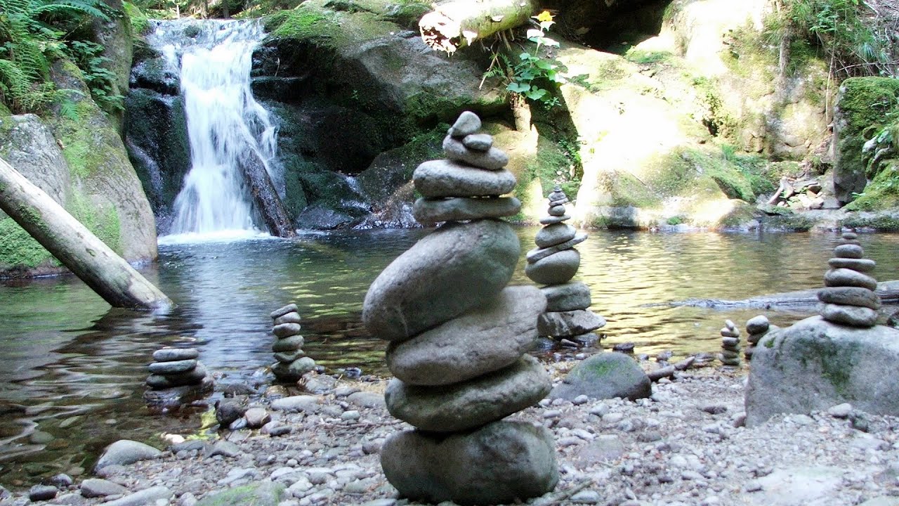
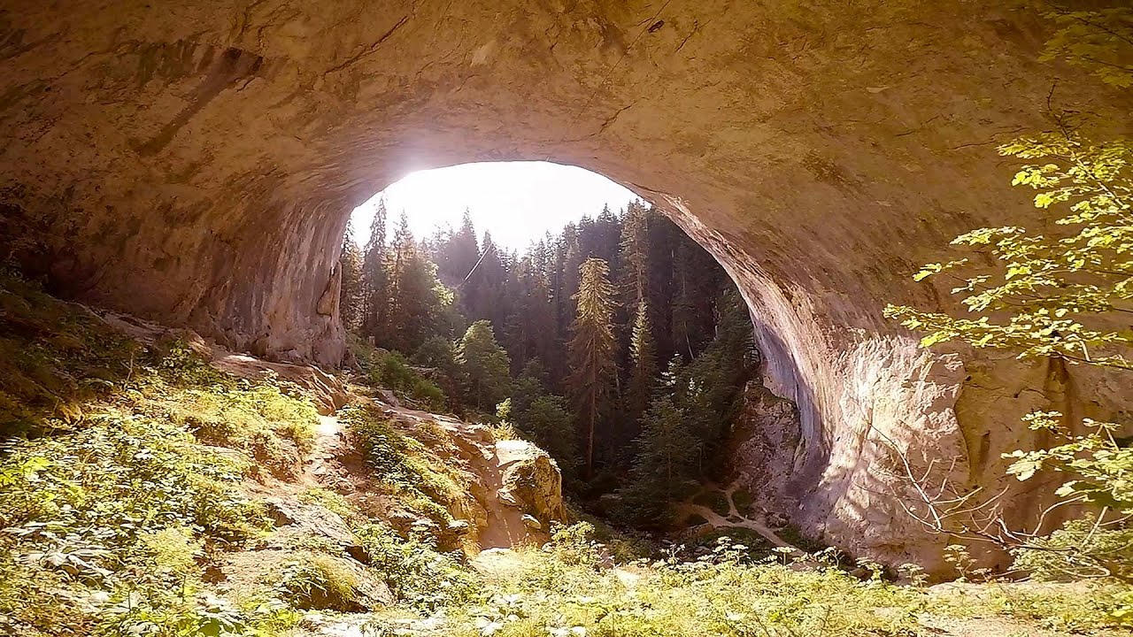
The Soskovcheto Reserve was established in 1968 and covers an area of 177 hectares. It is situated in the Perelishko-Prespanski region of the Rhodope Mountains. To promote and safeguard the area's natural resources, unique ecosystems, and rock formations, the Canyon of Waterfalls ecotrail has been created. This trail features two large loops that are clearly marked with tourist signs.
Read more
Copyright © 2017 - 2025 Trekkingklub.com.
Already published 8162 photos and 136 videos. Please register for full access.
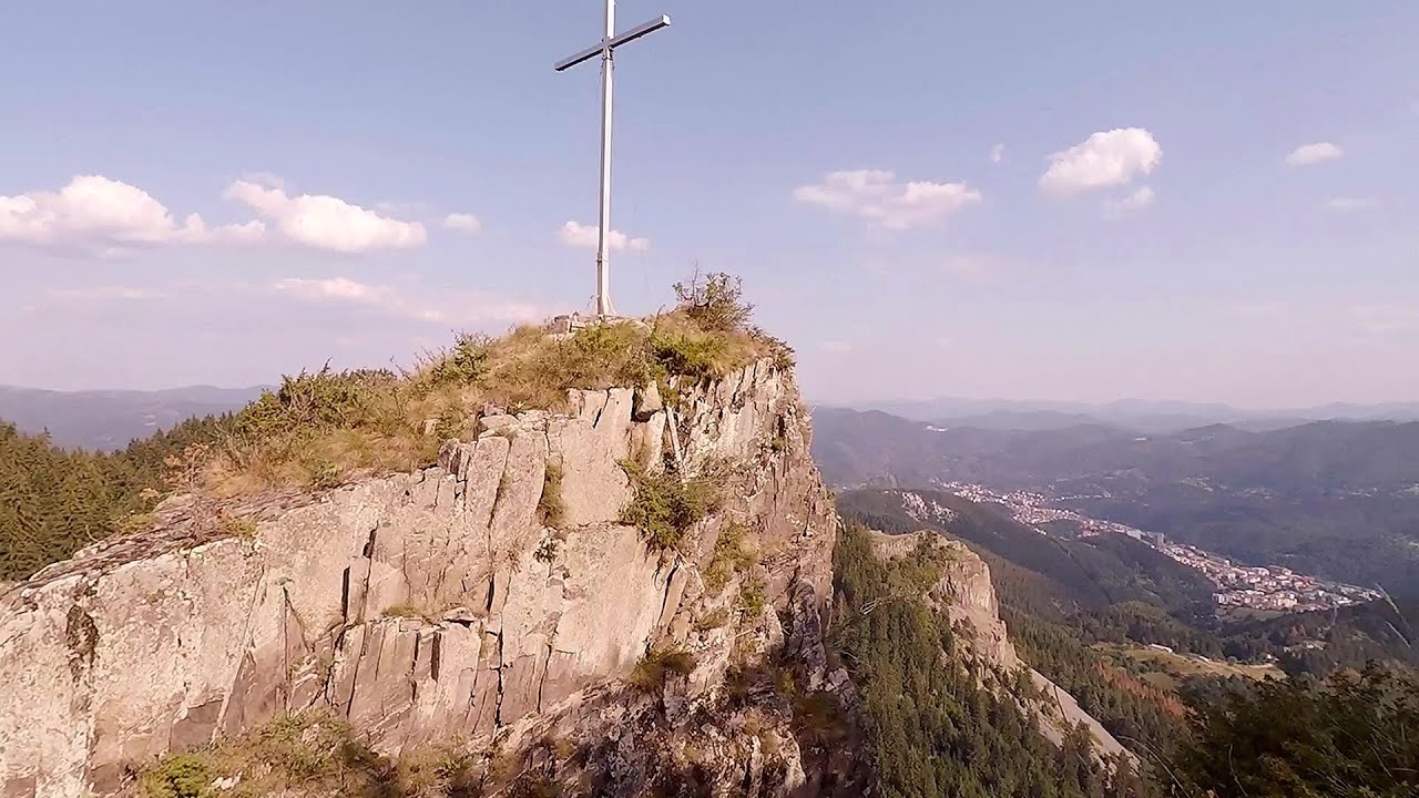
Photos of nearby places


[ Top ↑ ]
Videos of nearby places
Canyon of Waterfalls - Smolyan 0 km away
The eco-trail known as the Canyon of Waterfalls is located in Bulgaria, within the Rhodope Mountains and the Soskovcheto Nature Reserve. It begins at the edge of the Sredoka suburb of the city of Smolyan.
Neviastata ecopath and iron path - Smolyan 4.95 km away
The Neviastata eco-trail is located in Bulgaria, nestled in the heart of the Rhodope Mountains, between Smolyan and Pamporovo. Here, you will find a small, paid adventure park.
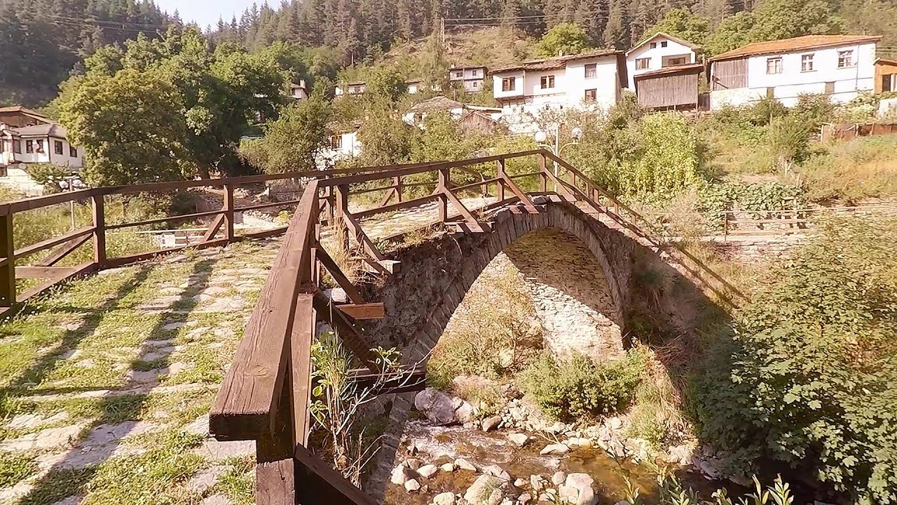
Shiroka Laka village - Smolyan 11.07 km away
Shiroka Laka is one of the most beautiful villages in Bulgaria. It is located in the Rhodope Mountains, in the Smolyan province, in the southern part of the country.
Orlovo Oko (Eagle's Eye) - Yagodina 25.29 km away
Orlovo Oko (Eagle's Eye) is a lookout viewpoint located in the Rhodope Mountains, near the peak of Saint Ilia and close to the village of Yagodina, Bulgaria. The steel structure, built at an altitude of 1,563 meters, rises 670 meters above the spectacular Buynovsko Gorge, along with the winding river and road that traverse it.
Chudni Mostove (Amazing Bridges) - Zabardo 26.46 km away
The Amazing Bridges (Chudni Mostove, Wonderful Bridges) are natural stone bridges. They are located in the Rhodope Mountains, in the Smolyan Province of Bulgaria, within the valley of the Erkyupriya River, at an altitude of 1,450 meters above sea level.
Other places
Hodoaba Valley iron path Suncuius 617.29 km away
The Hodoaba Valley iron path is Romania's shortest and easiest (official) via ferrata route. It is located near Suncuius, in the Padurea Craiului Mountains, on the left bank of the Crisul Repede River.
The Hodoaba Valley iron path is Romania's shortest and easiest (official) via ferrata route. It is located near Suncuius, in the Padurea Craiului Mountains, on the left bank of the Crisul Repede River.
Zip-line near Seven Ladder Canyon Piatra Mare Mountain 451.38 km away
Via Ferrata Fairy Castle (Castelul Zanelor, Casa Zmeului, The House of the Dragon) Vadu Crisului 622.19 km away
South of Vadu Crisului, in the Padurea Craiului Mountains, lies the Vadu Crisului Gorge, a section of the Crisul Repede river that narrows between rocky walls. In the Middle Ages, there was intense log transportation activity here, and the transport of salt and timber to Hungary passed through this area.
South of Vadu Crisului, in the Padurea Craiului Mountains, lies the Vadu Crisului Gorge, a section of the Crisul Repede river that narrows between rocky walls. In the Middle Ages, there was intense log transportation activity here, and the transport of salt and timber to Hungary passed through this area.
Stan Valley Canyon 419.97 km away
The Stan Valley is located near Lake Vidraru, southwest of it, in the Fruntii Mountains. Those who have visited the Seven Ladders Waterfall will appreciate this canyon, outfitted with infrastructure for tourist accessibility.
The Stan Valley is located near Lake Vidraru, southwest of it, in the Fruntii Mountains. Those who have visited the Seven Ladders Waterfall will appreciate this canyon, outfitted with infrastructure for tourist accessibility.
Jacob Hill Lookout Western Mecsek 722.25 km away
Jacob Hill is a popular hiking destination in Western Mecsek, with an elevation of 592 m. At the top, there are the ruins of a Pauline monastery and a lookout tower.
Jacob Hill is a popular hiking destination in Western Mecsek, with an elevation of 592 m. At the top, there are the ruins of a Pauline monastery and a lookout tower.
[ Top ↑ ]
[ Top ↑ ]
Copyright © 2003-2025 Trekkingklub and friends. Reproduction of any text, picture or video from this website, either in printed or electronic form, is prohibited without prior written permission. The given distances are to be understood as straight line distances, and are approximate. Website made in Miercurea Ciuc  .
.