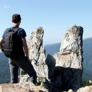
White dacitic tuff - Manzalesti - photos
The 'Grunjul de la Manzalesti' is composed of dacitic tuff, which originates from volcanic ash. It is located in the center of the Manzalesti commune, Buzau county, at the confluence of the Slanic and Jgheab streams. Grunj means narrowing or throat.
Copyright © 2012 - 2025 Trekkingklub.com.
Already published 8178 photos and 136 videos. Please register for full access.
Photos of nearby places
[ Top ↑ ]
Videos of nearby places
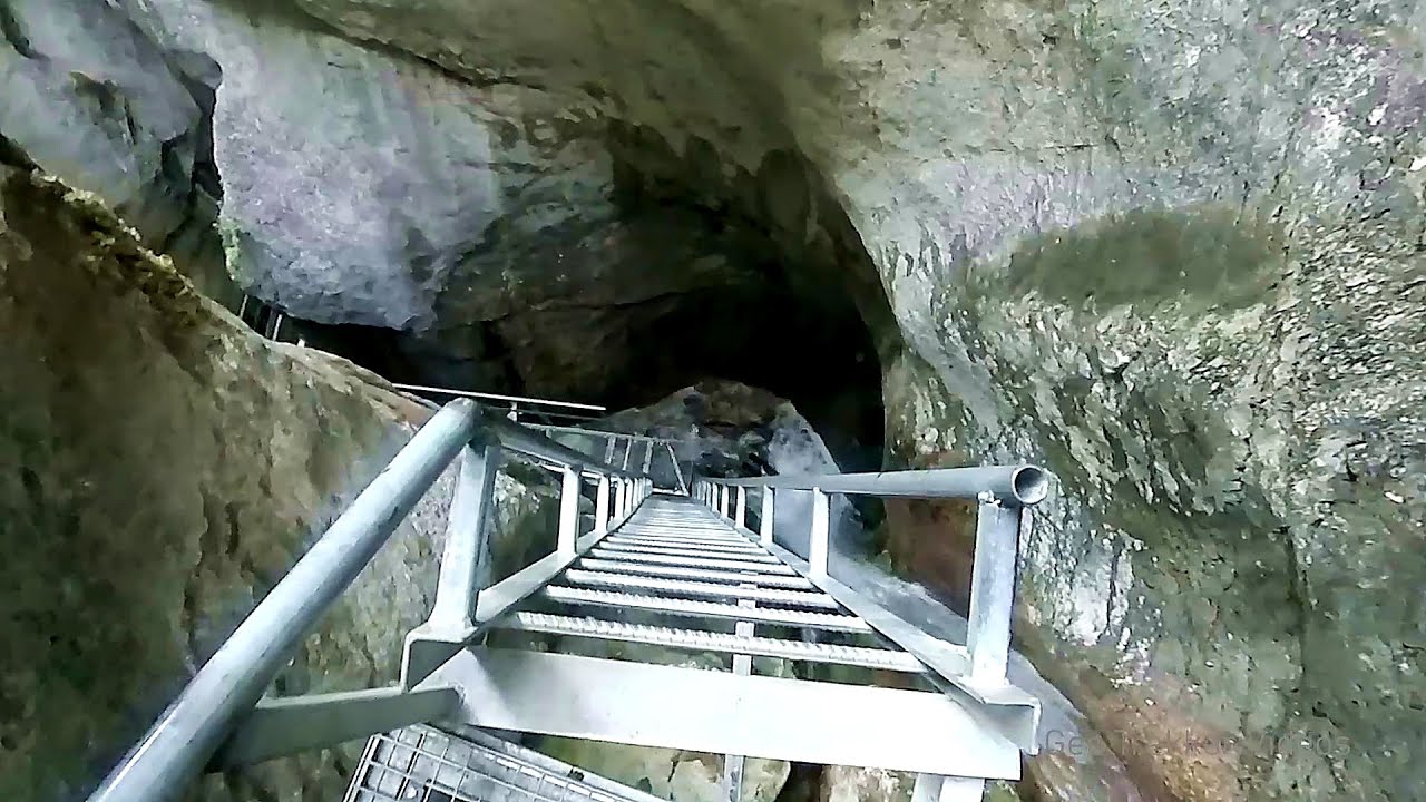
Seven Ladder Canyon and Waterfall - Piatra Mare Mountain 78.04 km away
The Seven Ladder Gorge is the largest and most spectacular gorge in the Piatra Mare massif. The narrow canyon has a length of 160 meters, and over a drop of 58 meters includes 7 bigger and several smaller waterfalls.
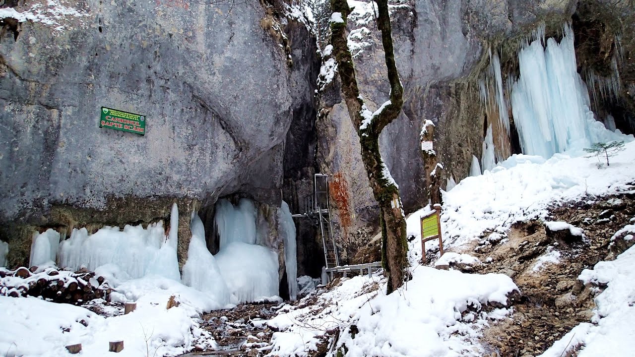
Seven Ladder Canyon in Winter - Piatra Mare Mountain 78.13 km away
Seven Ladder Canyon and Waterfall in Winter - Piatra Mare Mountain
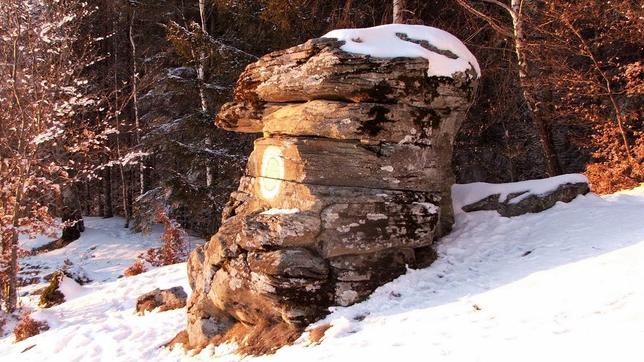
Preacher's Rock - Bodoc Mountains 82.32 km away
In the Bodoc Mountains, west-southwest from the Henter peak, we find a rock formation shaped like a mushroom by erosion, called Preacher's Rock. This 2-meter high rock probably got its name from the pagan Hungarian priests, who preached here in the past.
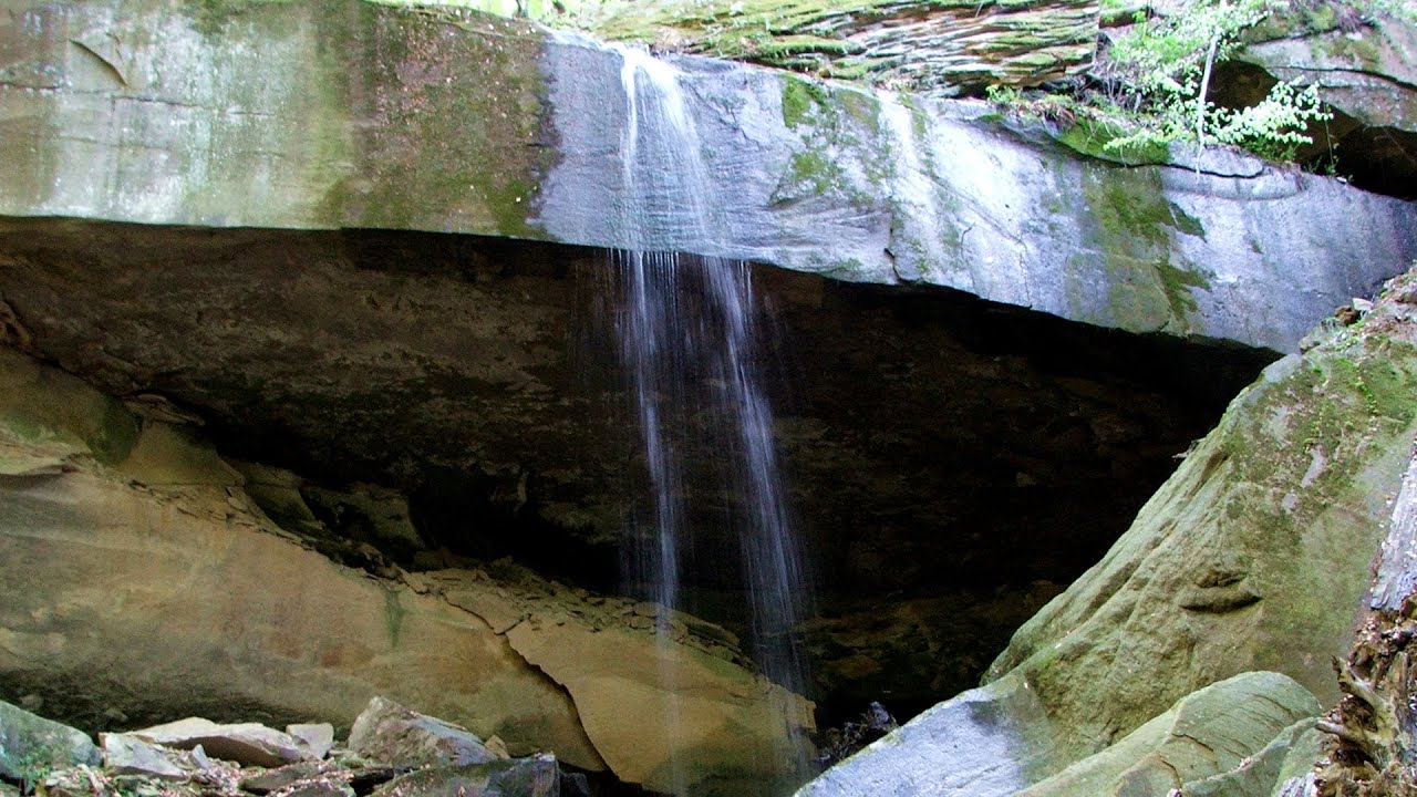
Waterfalls of Velnita stone-quarry - Targu Ocna 84.4 km away
Starting from the Velnita quarry, an adventurous nature enthusiast, accustomed to wild and rugged terrains, will discover a true waterfall paradise. At the upper part of the quarry, two streams converge.
Other places
Little Spiral iron path Baia de Fier 227.94 km away
Foamy valley waterfall (Cascada Valea Spumoasa) Bucegi Mountains 88.59 km away
Access to the Foamy valley waterfall (Cascada Valea Spumoasa) is made from the town of Busteni. The starting point is the lower station of the cable car that ascends to the Babele cabin.
Access to the Foamy valley waterfall (Cascada Valea Spumoasa) is made from the town of Busteni. The starting point is the lower station of the cable car that ascends to the Babele cabin.
Crystal Cave at Farcu Mine 356.67 km away
In the Padurea Craiului Mountains, near Rosia, in the Farcu bauxite mine, in 1987, the miners accidentally discovered a cave. It was filled with crystal-shaped limestone formations.
In the Padurea Craiului Mountains, near Rosia, in the Farcu bauxite mine, in 1987, the miners accidentally discovered a cave. It was filled with crystal-shaped limestone formations.
Siega via ferrata Silberkar Gorge, Ramsau am Dachstein 1012.53 km away
The Siega via ferrata, categorized as a C/D level of difficulty, is perhaps the least interesting of the three via ferrata routes in the Silberkar Gorge (Silberkarklamm). This doesn't mean that it's not good, just that the other two are even better.
The Siega via ferrata, categorized as a C/D level of difficulty, is perhaps the least interesting of the three via ferrata routes in the Silberkar Gorge (Silberkarklamm). This doesn't mean that it's not good, just that the other two are even better.
Billy-goat lake, Closed Gates Retezat Mountains 290.21 km away
The most unique ridge trail of the Retezat Mountains is the Closed Gates.Below, at an altitude of 2070 m above sea level, is the Billy-goat lake.
The most unique ridge trail of the Retezat Mountains is the Closed Gates.Below, at an altitude of 2070 m above sea level, is the Billy-goat lake.
[ Top ↑ ]
[ Top ↑ ]
Copyright © 2003-2025 Trekkingklub and friends. Reproduction of any text, picture or video from this website, either in printed or electronic form, is prohibited without prior written permission. Nearby settlements: Manzalesti 1.36 km away, Tourist attractions Manzalesti 1.36 km away. The given distances are to be understood as straight line distances, and are approximate. Website made in Miercurea Ciuc  .
.
 .
.


