Buzau Salt - photos
Copyright © 2012 - 2025 Trekkingklub.com.
Already published 8178 photos and 136 videos. Please register for full access.
Photos of nearby places
[ Top ↑ ]
Videos of nearby places
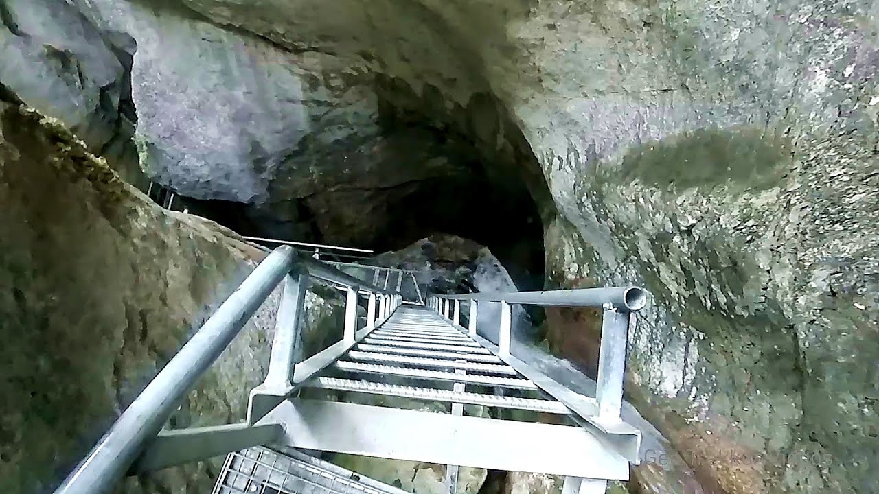
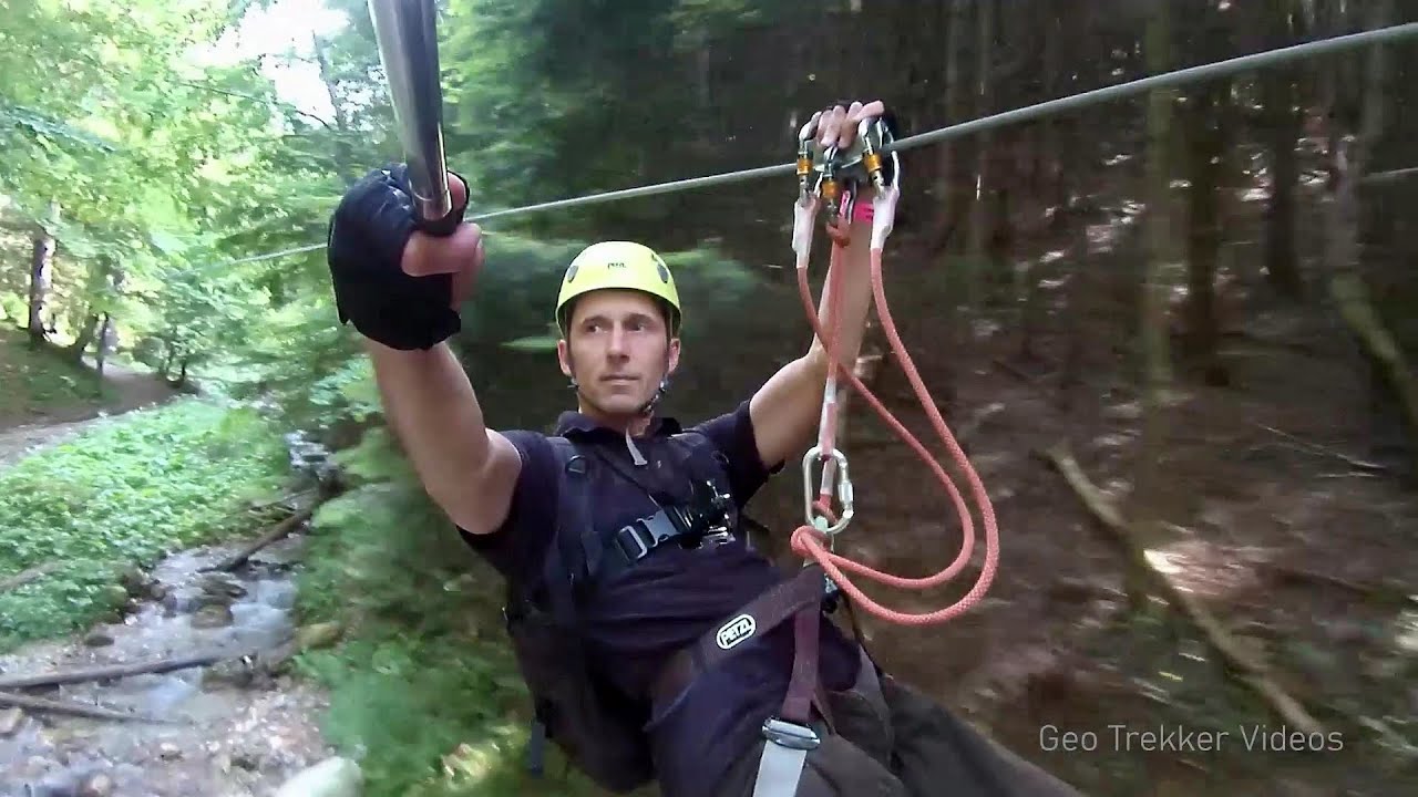
Seven Ladder Canyon and Waterfall - Piatra Mare Mountain 75.53 km away
The Seven Ladder Gorge is the largest and most spectacular gorge in the Piatra Mare massif. The narrow canyon has a length of 160 meters, and over a drop of 58 meters includes 7 bigger and several smaller waterfalls.
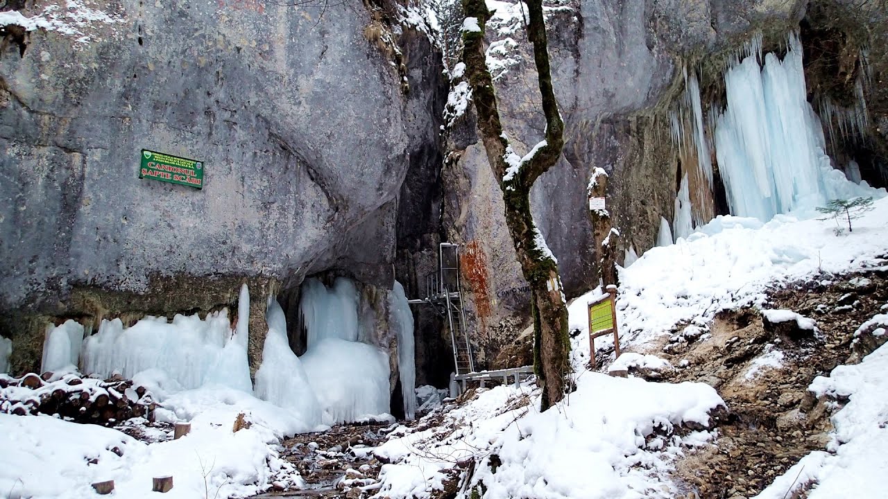
Seven Ladder Canyon in Winter - Piatra Mare Mountain 75.66 km away
Seven Ladder Canyon and Waterfall in Winter - Piatra Mare Mountain
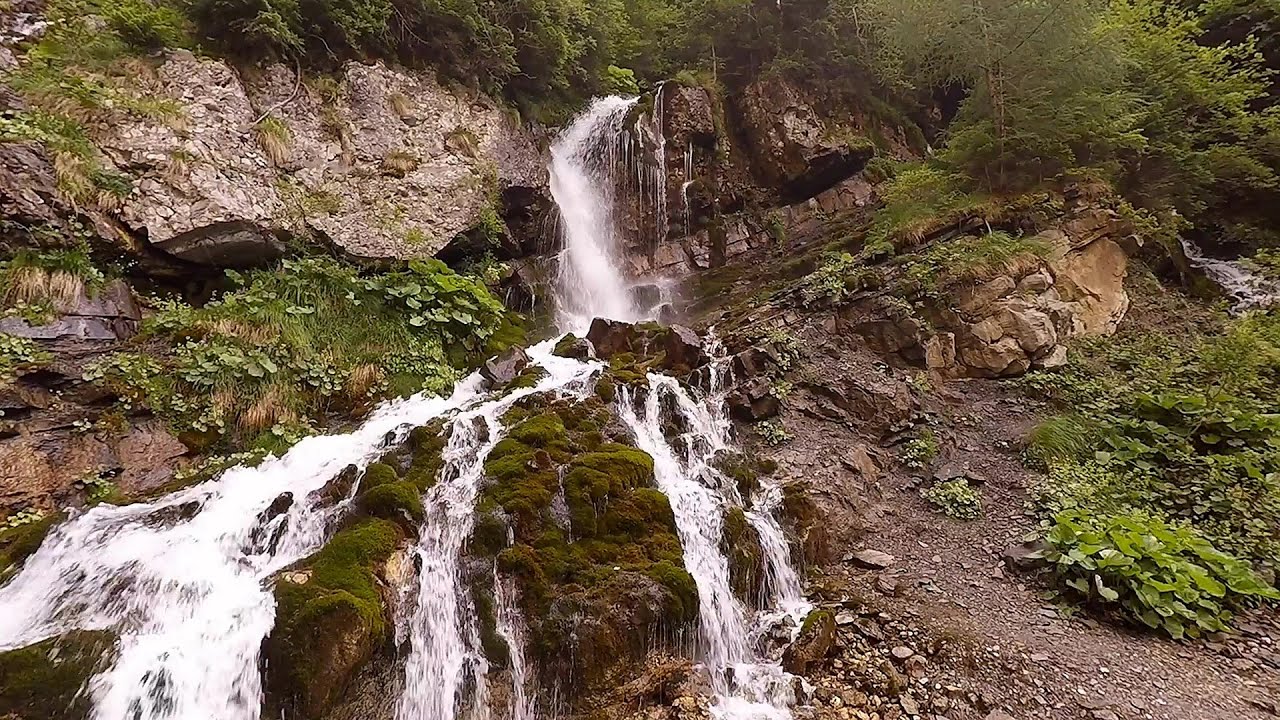
Foamy valley waterfall (Cascada Valea Spumoasa) - Bucegi Mountains 79.33 km away
Access to the Foamy valley waterfall (Cascada Valea Spumoasa) is made from the town of Busteni. The starting point is the lower station of the cable car that ascends to the Babele cabin.
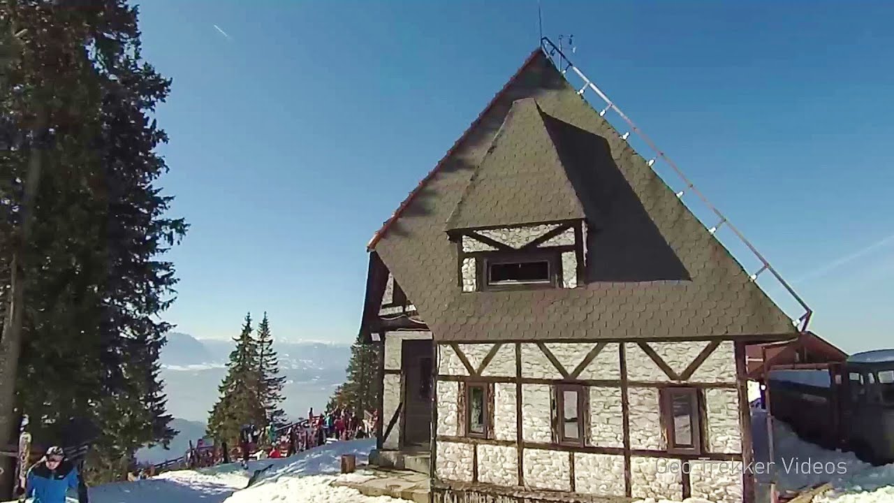
Ski resort - Poiana Brasov - Postavarul Mountains 82.04 km away
Shining sun and an Austria-feeling on the impeccable slopes of the ski paradise Poiana Brasov above Brasov. Sunbathing, coffee and refreshing drinks on the terrace of Julius Römer chalet.
Other places
Via ferrata Dachstein Gams Krippenstein, Obertraun am Hallstättersee 1012.94 km away
The Dachstein Gams is a new via ferrata route on Krippenstein. It has three parts: Himmeleck (A/B), Gams (C), and Nordwand (E).
The Dachstein Gams is a new via ferrata route on Krippenstein. It has three parts: Himmeleck (A/B), Gams (C), and Nordwand (E).
Pietraru pottery Horezu 195.98 km away
Rocher de l'envers iron path Saint Vincent de Mercuze, Isére, Rhône Alps 1602.22 km away
The Rocher de l'envers via ferrata is located in a beautiful environment, above Saint-Vincent-de-Mercuze, in France. Several beautiful and large waterfalls, as well as several small cascades, make it attractive.
The Rocher de l'envers via ferrata is located in a beautiful environment, above Saint-Vincent-de-Mercuze, in France. Several beautiful and large waterfalls, as well as several small cascades, make it attractive.
Poienii Rock, north-eastern lookout point Bicaz Gorges 181.11 km away
From the viewpoint at the top of the northeastern wall of Poienii Rock in the Bicaz Gorges, we can look down 300 meters to the mouth of the Bicajel stream. The Bridge of the Hungarians is hidden among pine trees.
From the viewpoint at the top of the northeastern wall of Poienii Rock in the Bicaz Gorges, we can look down 300 meters to the mouth of the Bicajel stream. The Bridge of the Hungarians is hidden among pine trees.
Poenari citadel Arges valley 146.31 km away
The Poenari citadel is located on the southern slope of the Fagaras Mountains, on the western side of the Transfagaras road, in the Arges Valley, about 4 km from the Vidraru Lake dam. Along a steep incline, a concrete staircase leads up to the castle, which is built atop a mountain.
The Poenari citadel is located on the southern slope of the Fagaras Mountains, on the western side of the Transfagaras road, in the Arges Valley, about 4 km from the Vidraru Lake dam. Along a steep incline, a concrete staircase leads up to the castle, which is built atop a mountain.
[ Top ↑ ]
[ Top ↑ ]
Copyright © 2003-2025 Trekkingklub and friends. Reproduction of any text, picture or video from this website, either in printed or electronic form, is prohibited without prior written permission. Nearby settlements: Badila 2.1 km away, Tourist attractions near Viperesti 3.74 km away. The given distances are to be understood as straight line distances, and are approximate. Website made in Miercurea Ciuc  .
.
 .
.


