Lomasita waterfall, Lomasel rock, Iezerul Calimanilor lake - photos
Copyright © 2013 - 2025 Trekkingklub.com.
Already published 8178 photos and 136 videos. Please register for full access.
Photos of nearby places
[ Top ↑ ]
Videos of nearby places
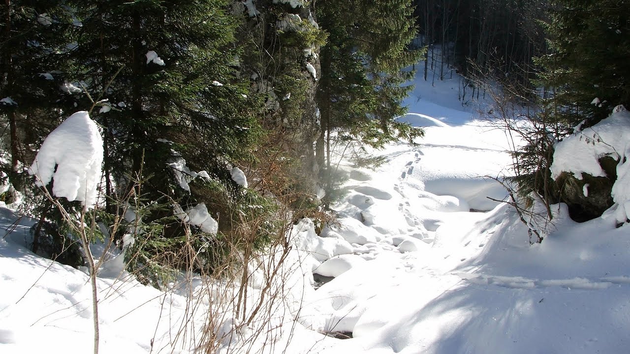
With snowshoes in the Tihu creek valley - Rastolita 11.06 km away
We met geotrekking treasure hunters from Gheorgheni, Miercurea Ciuc and Targu Mures in Rastolita. We entered the Calimani Mountains with an off-road vehicle, along the Rastolita and Tihu streams.
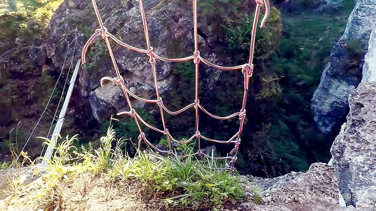
Via ferrata Bear Cave adventure and climbing zone - Borsec 26.34 km away
The Bear Cave in Borsec is a vast natural formation, scattered with rocks and deep crevices. Access to the cave's cavities is through a series of narrow formations resembling canyons, surrounded by giant fir trees and rocks with interesting shapes.
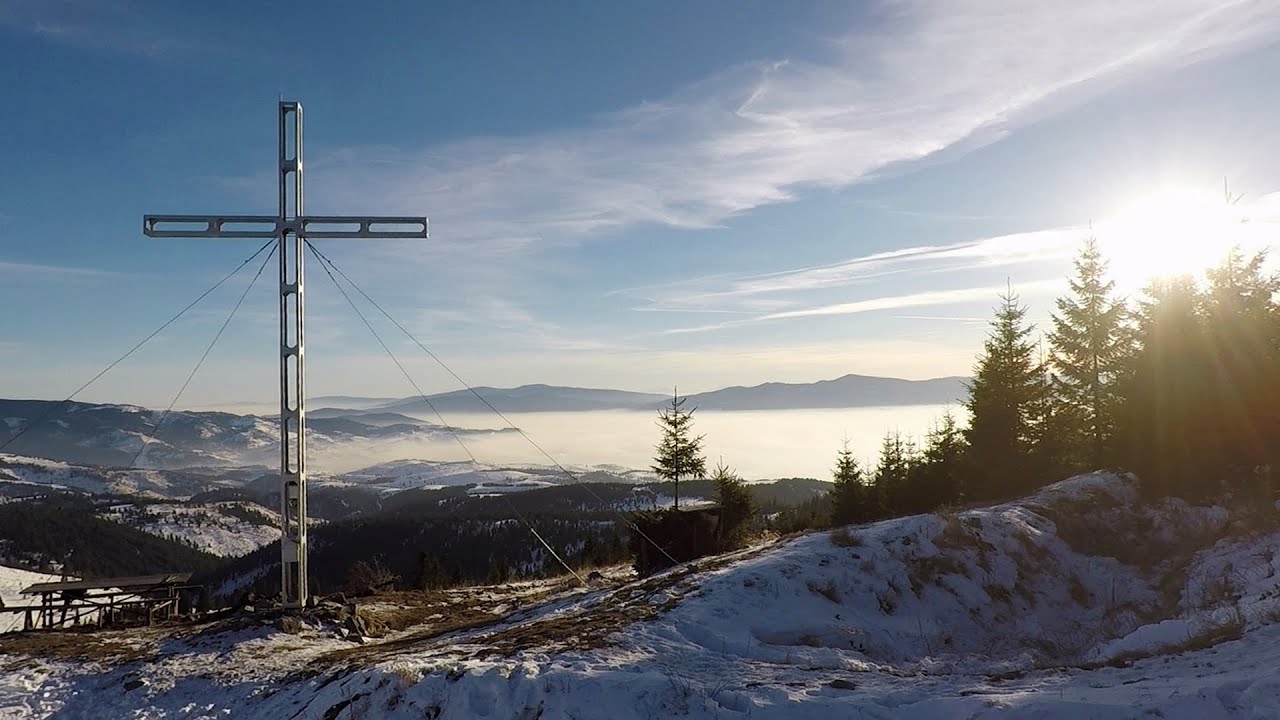
Pricske peak - Giurgeu Mountains 40.75 km away
If we want to reach Pricske (Prisca) peak, which rises above Gheorgheni and Lazarea, we start from the valley of the Güdüc (Ghidut) stream. Our path leads us past the ruins of a building known as the White House.
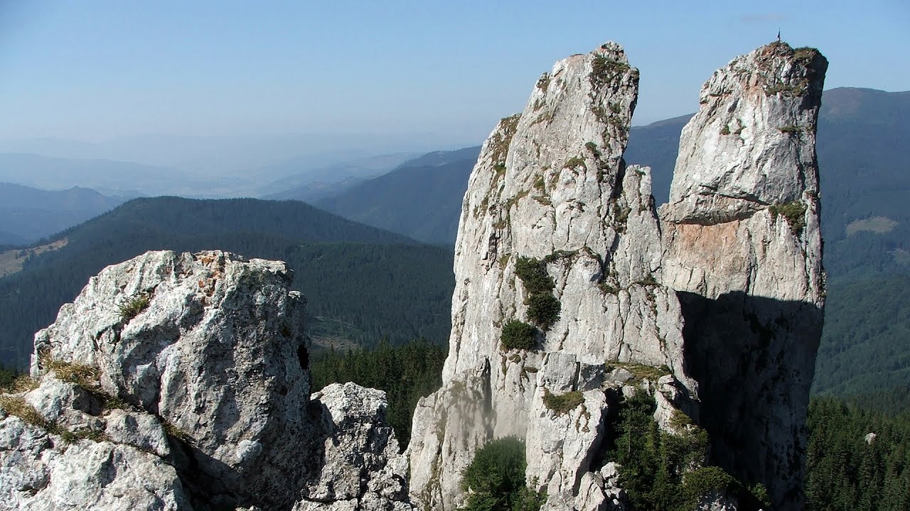
Lady's Stones - Rarau Mountains 48.26 km away
The Lady's Stones represent the heart, the mind, and the soul. The first two only help to understand the world when one possesses knowledge (they can be climbed with rock climbing gear), as emotions and thoughts (the two rock towers) obscure reality (the view).
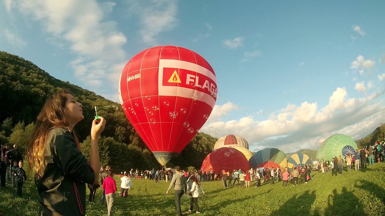
Hot air balloon parade 2015 - Campu Cetatii 48.27 km away
This year, the Hot Air Balloon Parade was organized in Campu Cetatii for the tenth time. Unfortunately, the weather only allowed for flying on Saturday morning and evening.
Other places
Corcoaia Gorge Gorj county 291.83 km away
The Corcoaia Gorge is one of the most beautiful tourist attractions in the Cerna Valley. It can be reached by car, 43 km away from Baile Herculane, of which about 17 km is on a dusty gravel road.
The Corcoaia Gorge is one of the most beautiful tourist attractions in the Cerna Valley. It can be reached by car, 43 km away from Baile Herculane, of which about 17 km is on a dusty gravel road.
Meziad cave Padurea Craiului Mountains 213.42 km away
The Meziad Cave is located near the village of Meziad, 22 km north of Beius, in the Padurea Craiului Mountains. It is one of our first tourist caves, its exploration is associated with the name of Gyula Czárán, cave researcher and writer.
The Meziad Cave is located near the village of Meziad, 22 km north of Beius, in the Padurea Craiului Mountains. It is one of our first tourist caves, its exploration is associated with the name of Gyula Czárán, cave researcher and writer.
Echernwand via ferrata, World Heritage View Hallstatt, Salzberg, Dachstein Mountains 876.21 km away
I climbed the via ferrata on the Echernwand rock wall at dusk. This route is located above one of Austria's most beautiful lakes, and above Hallstatt.
I climbed the via ferrata on the Echernwand rock wall at dusk. This route is located above one of Austria's most beautiful lakes, and above Hallstatt.
Devetashka cave Devetaki 427.23 km away
The Devetashka Cave is located in Bulgaria, near the village of Devetaki. After the entrance portal, which measures 30 m by 35 m, there is a vast open chamber that is 110 meters wide and 359 meters long.
The Devetashka Cave is located in Bulgaria, near the village of Devetaki. After the entrance portal, which measures 30 m by 35 m, there is a vast open chamber that is 110 meters wide and 359 meters long.
Shipka pass Shipka 480.25 km away
The Shipka Pass is one of the most spectacular crossings of the Balkan Mountains, and is part of the Bulgarka Nature Park. It separates the provinces of Gabrovo and Stara Zagora, and provides a connection between the cities of Gabrovo and Kazanlak.
The Shipka Pass is one of the most spectacular crossings of the Balkan Mountains, and is part of the Bulgarka Nature Park. It separates the provinces of Gabrovo and Stara Zagora, and provides a connection between the cities of Gabrovo and Kazanlak.
[ Top ↑ ]
[ Top ↑ ]
Copyright © 2003-2025 Trekkingklub and friends. Reproduction of any text, picture or video from this website, either in printed or electronic form, is prohibited without prior written permission. Nearby settlements: Mestera 11.88 km away, Tourist attractions Stanceni 11.93 km away. The given distances are to be understood as straight line distances, and are approximate. Website made in Miercurea Ciuc  .
.
 .
.


