Sand-glass, Rock passage - Casoaia rock world Androneasa - photos
Copyright © 2014 - 2025 Trekkingklub.com.
Already published 8162 photos and 136 videos. Please register for full access.
Photos of nearby places
[ Top ↑ ]
Videos of nearby places
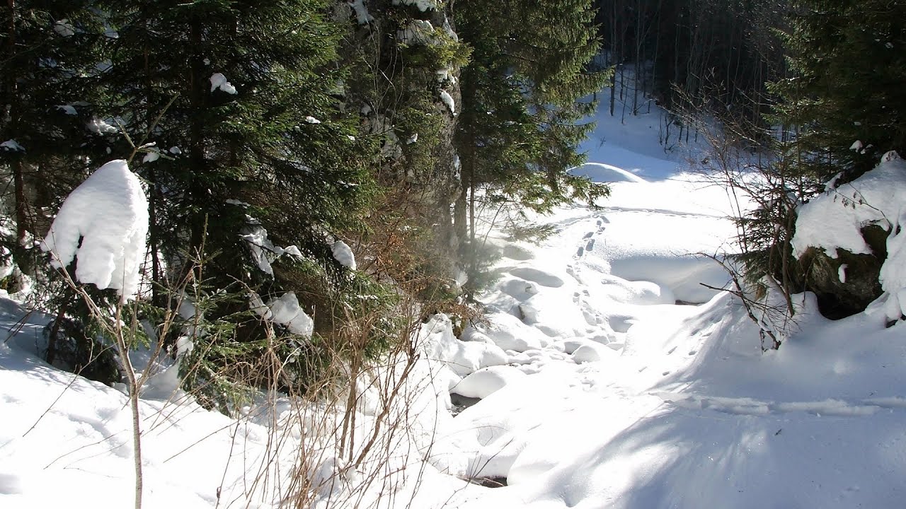
With snowshoes in the Tihu creek valley - Rastolita 15.99 km away
We met geotrekking treasure hunters from Gheorgheni, Miercurea Ciuc and Targu Mures in Rastolita. We entered the Calimani Mountains with an off-road vehicle, along the Rastolita and Tihu streams.
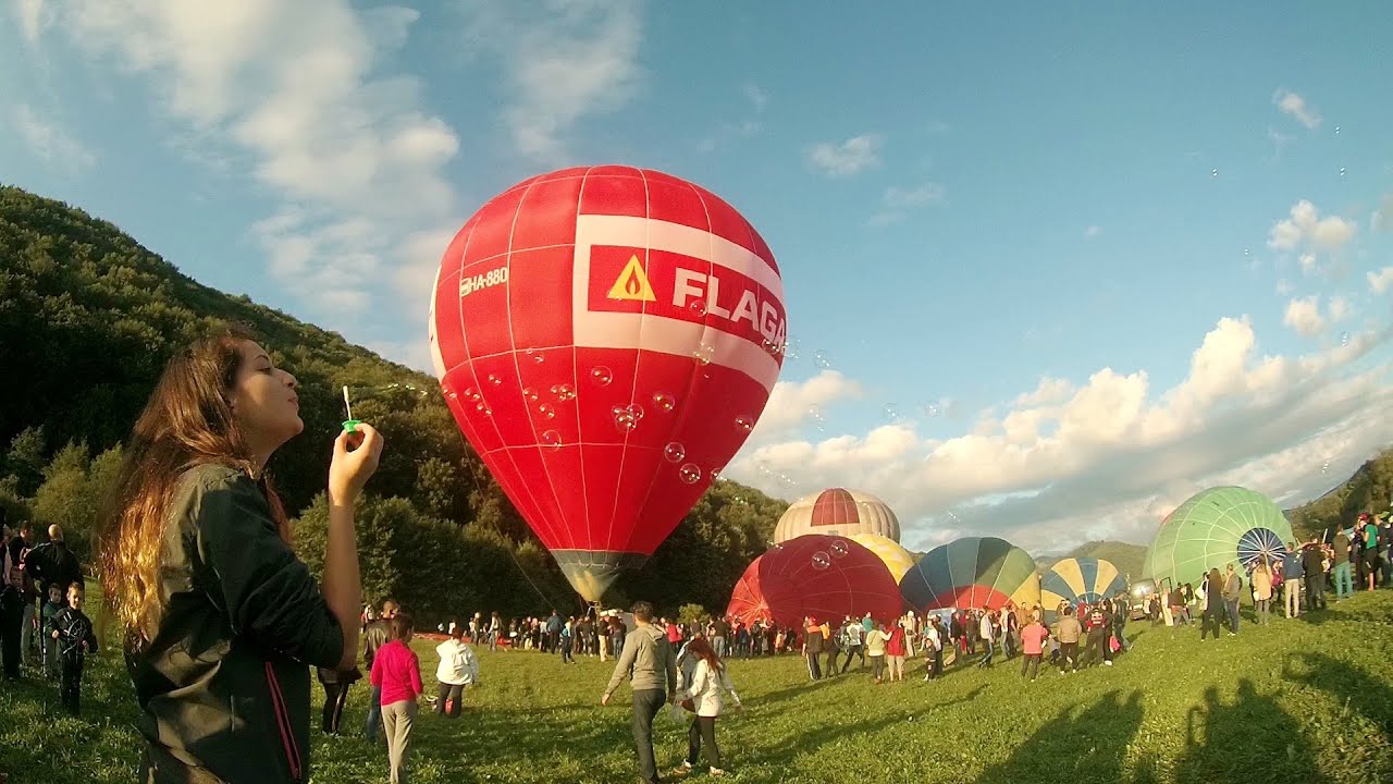
Hot air balloon parade 2015 - Campu Cetatii 32.61 km away
This year, the Hot Air Balloon Parade was organized in Campu Cetatii for the tenth time. Unfortunately, the weather only allowed for flying on Saturday morning and evening.
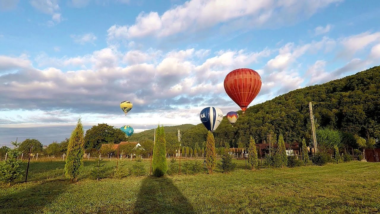
Hot Air Balloon Parade 2018 - Campu Cetatii 32.61 km away
This year, the hot air balloons flew low over Campu Cetatii. The weather did not really favor the parade.
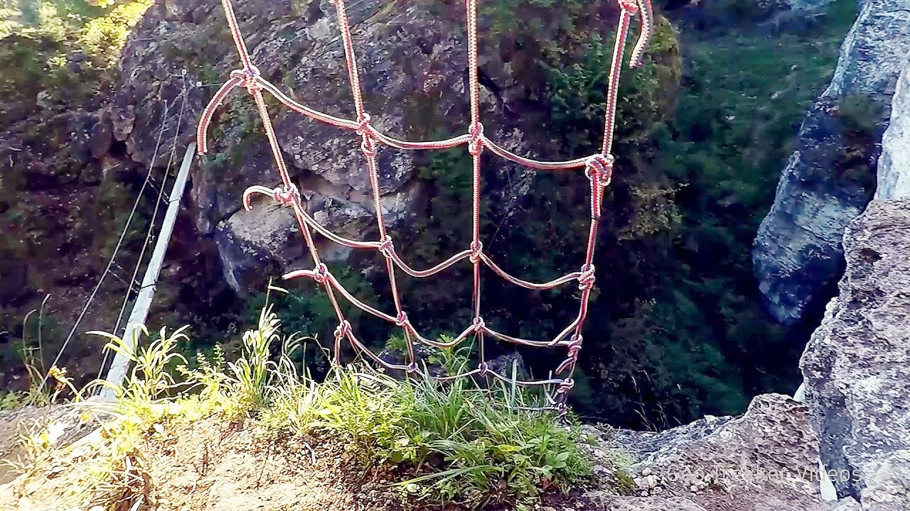
Via ferrata Bear Cave adventure and climbing zone - Borsec 39.92 km away
The Bear Cave in Borsec is a vast natural formation, scattered with rocks and deep crevices. Access to the cave's cavities is through a series of narrow formations resembling canyons, surrounded by giant fir trees and rocks with interesting shapes.
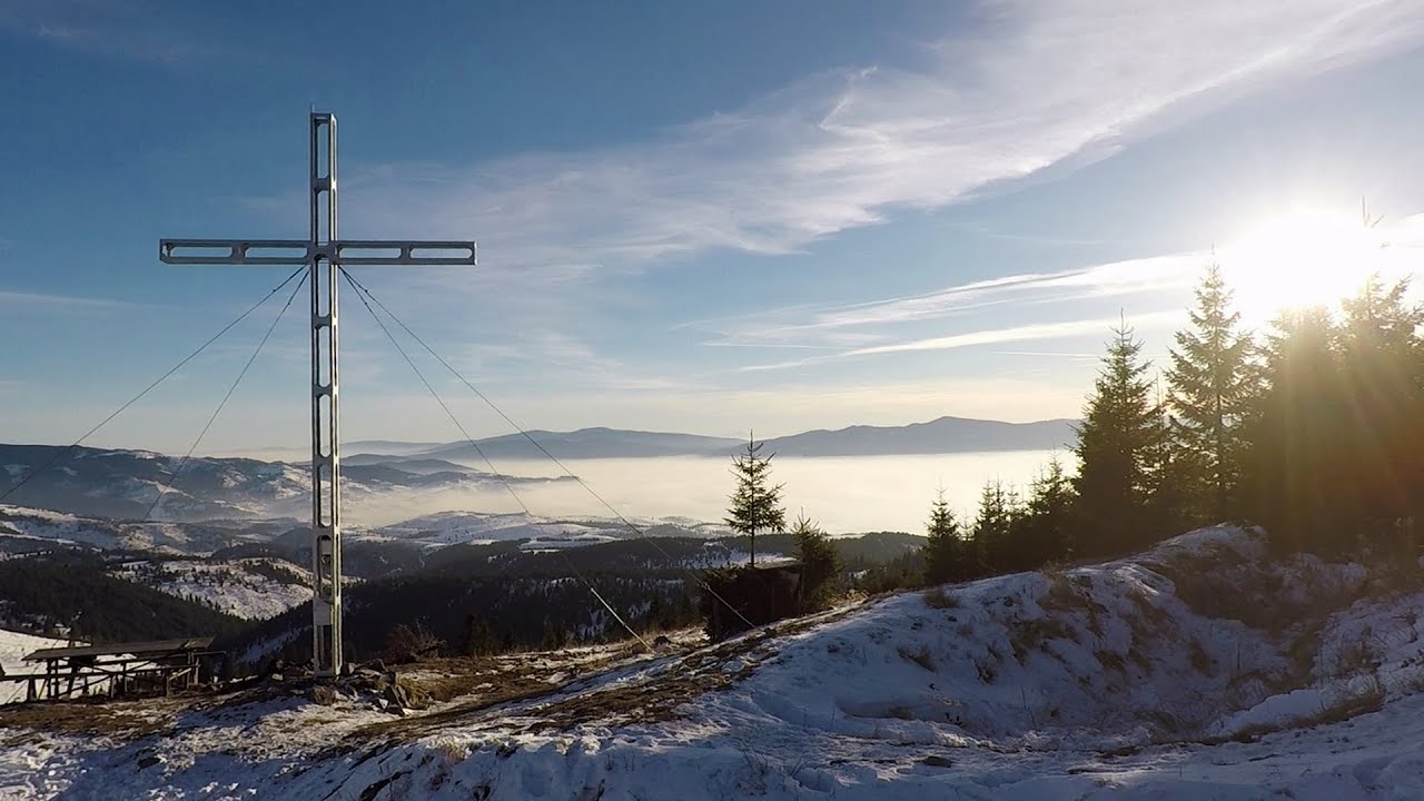
Pricske peak - Giurgeu Mountains 47.15 km away
If we want to reach Pricske (Prisca) peak, which rises above Gheorgheni and Lazarea, we start from the valley of the Güdüc (Ghidut) stream. Our path leads us past the ruins of a building known as the White House.
Other places
Corcoaia Gorge Gorj county 272.16 km away
The Corcoaia Gorge is one of the most beautiful tourist attractions in the Cerna Valley. It can be reached by car, 43 km away from Baile Herculane, of which about 17 km is on a dusty gravel road.
The Corcoaia Gorge is one of the most beautiful tourist attractions in the Cerna Valley. It can be reached by car, 43 km away from Baile Herculane, of which about 17 km is on a dusty gravel road.
Tapolca lake cave Balaton-felvidéki National Park 576.81 km away
The Tapolca lake cave is situated in the Balaton-felvidéki National Park. A modern visitor center has been constructed at its entrance, featuring ten rooms that highlight the unique characteristics of karst regions.
The Tapolca lake cave is situated in the Balaton-felvidéki National Park. A modern visitor center has been constructed at its entrance, featuring ten rooms that highlight the unique characteristics of karst regions.
Wild Ferenc memorial path Suhardul Mic 59.95 km away
In recent days, this news has been everywhere: the via ferrata route built on the southwest wall of Suhardul Mic (Little Suhard) has finally been completed and inaugurated. The new route has been named after Ferenc Wild, in memory of the former mountain rescuer, sports writer, and one of the founders of the mountain rescue association in Gheorgheni.
In recent days, this news has been everywhere: the via ferrata route built on the southwest wall of Suhardul Mic (Little Suhard) has finally been completed and inaugurated. The new route has been named after Ferenc Wild, in memory of the former mountain rescuer, sports writer, and one of the founders of the mountain rescue association in Gheorgheni.
Zip-line near Seven Ladder Canyon Piatra Mare Mountain 160.27 km away
Jacob Hill Lookout Western Mecsek 536.17 km away
Jacob Hill is a popular hiking destination in Western Mecsek, with an elevation of 592 m. At the top, there are the ruins of a Pauline monastery and a lookout tower.
Jacob Hill is a popular hiking destination in Western Mecsek, with an elevation of 592 m. At the top, there are the ruins of a Pauline monastery and a lookout tower.
[ Top ↑ ]
[ Top ↑ ]
Copyright © 2003-2025 Trekkingklub and friends. Reproduction of any text, picture or video from this website, either in printed or electronic form, is prohibited without prior written permission. Nearby settlements: Andreneasa 1.53 km away, Tourist attractions Rastolita 3.89 km away. The given distances are to be understood as straight line distances, and are approximate. Website made in Miercurea Ciuc  .
.
 .
.


