Polovragi Cave - Capatinei Mountains - photos
Copyright © 2003 - 2025 Trekkingklub.com.
Already published 8151 photos and 128 videos. Please register for full access.
Photos of nearby places

Women's Cave (Pestera Muierii) - Parang Mountains (11 photos) 2.51 km away
The Cave of Women (Pestera Muierii, Pestera Muierilor) is located at the southern foot of the Parang Mountains, in the area of Baia de Fier in Gorj County. There are several climbing routes established on the rocks above the cave and on the other side of the road.

Parangul Mare peak (16 photos) 24.63 km away
Chamois saddle (Saua Caprelor), Carja mountain shelter (Refugiul Carja) - Carja peak (Varful Carja) - Stoienita peak (Varful Stoienita) - Gemanarea - Parangul Mare peak.

Doabra Snail Shells - Brezoi (12 photos) 39.82 km away
Doabra Valley - Calinesti-Brezoi forest - Lotru Valley, Cozia National Park

Circular hiking tour in Cozia Mountain (48 photos) 45.3 km away
Arutela - Turnu monastery - Rosiei Rocks - Turneanu ridge - Cozia peak - Stone portal - Stanisoara monastery - Gardului waterfall.
[ Top ↑ ]
Videos of nearby places
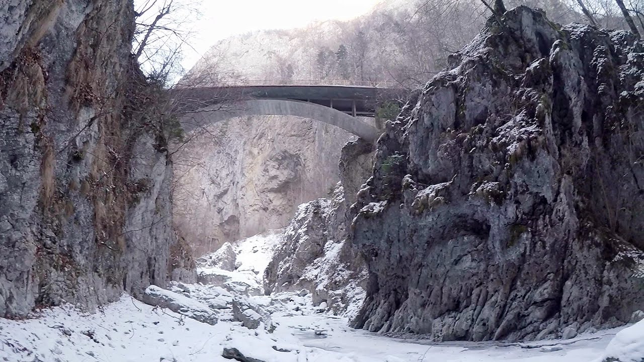
Oltet Gorges - Capatanii Mountains 0.64 km away
That day, we had planned to ski at the Ranca resort, situated alongside the Transalpina road in the Parang Mountains. Unfortunately, the minimal snowfall made skiing unfeasible, so we had to find an alternative activity on our way home.
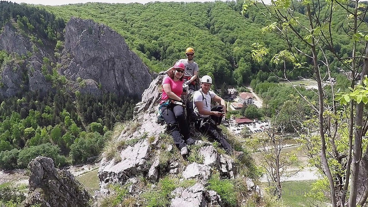
Via Ferrata Pink Panther - Baia de Fier 2.19 km away
In the area of Baia de Fier in Gorj County, several via ferrata routes have been set up on the rock above the Women's Cave (Muierii Cave) and on the other side of the road. At that time (2018), there were a total of seven.
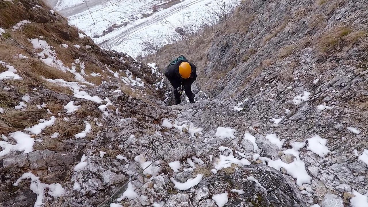
Loreley and Pink Panther iron path - Baia de Fier 2.24 km away
The Loreley via ferrata (graded B/C, with an elevation difference of approximately 100 m and a length of about 100 m) is located on the rock wall on the opposite side of the road. A branch from its upper section leads to the Pink Panther (Pantera Roz, graded A/B/C, approximately 200 meters long, with an elevation difference of about 50 meters).
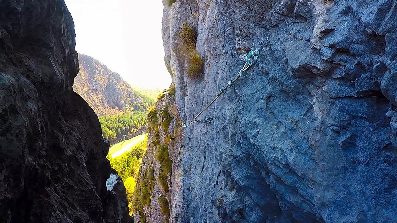
Spirala Medie iron path - Baia de Fier 2.44 km away
In May 2018, two new via ferrata routes were inaugurated in Baia de Fier. Both start from section G of the rock face hiding the Women's Cave (Pestera Muierilor), and their initial stages are shared.
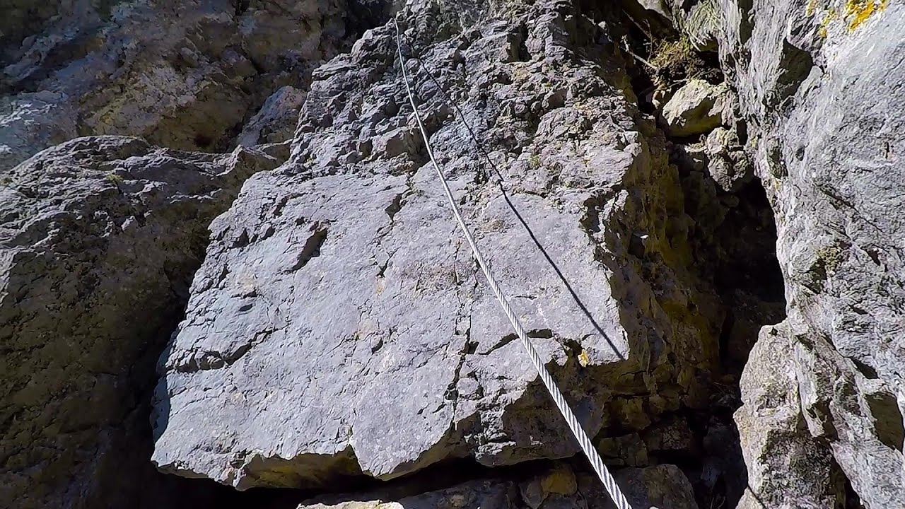
The Bear's Jump iron path - Baia de Fier 2.44 km away
The Bear's Jump (Saritoarea Ursului) is a fantasy-named via ferrata that opened in May 2018 near Baia de Fier, alongside the Middle Spiral (Spirala Medie). Both routes begin from the G zone of the rock face that conceals the Women's Cave (Pestera Muierilor).
Other places
Trift valley, bridge, lake and glacier Gadmen, Switzerland 1202.14 km away
During the hike in Trift Valley, I experienced cloudy and gloomy weather with intermittent rain. Here is the 170 m long Trift Bridge, the longest pedestrian suspension bridge in the Swiss Alps, in a breathtaking environment, 100 meters above the Trift Glacier Lake.
During the hike in Trift Valley, I experienced cloudy and gloomy weather with intermittent rain. Here is the 170 m long Trift Bridge, the longest pedestrian suspension bridge in the Swiss Alps, in a breathtaking environment, 100 meters above the Trift Glacier Lake.
Devil's Mill Gorge Campulung Moldovenesc 289.2 km away
The Devil's Mill Gorge is relatively short, measuring only 60 to 70 meters in length. It was formed in yellowish-gray-white dolomite by the work of a stream that crosses the gorge, as a result of erosion and the dissolution characteristic of limestone.
The Devil's Mill Gorge is relatively short, measuring only 60 to 70 meters in length. It was formed in yellowish-gray-white dolomite by the work of a stream that crosses the gorge, as a result of erosion and the dissolution characteristic of limestone.
Fairy Cliff (Peretele Zanelor) via ferrata route Vadu Crisului 219.77 km away
In Vadu Crisului, in the Padurea Craiului Mountains, on the right bank of the Crisul Repede, you can find the newest, in chronological order (2015) the fifth Transylvanian, new type of via ferrata route. I will not count here the traditional iron paths, the high-mountain hiking trails, partly secured with iron cables, or the rock canyons with iron ladders and footbridges.
In Vadu Crisului, in the Padurea Craiului Mountains, on the right bank of the Crisul Repede, you can find the newest, in chronological order (2015) the fifth Transylvanian, new type of via ferrata route. I will not count here the traditional iron paths, the high-mountain hiking trails, partly secured with iron cables, or the rock canyons with iron ladders and footbridges.
Vadu Crisului cave 219.05 km away
The Vadu Crisului Cave, with a total length of over 1000 meters, is located in the picturesque gorge of Crisul Repede creek. It consists of a gently meandering, long passage that features an active, stream level next to an upper, fossil level in its first section.
The Vadu Crisului Cave, with a total length of over 1000 meters, is located in the picturesque gorge of Crisul Repede creek. It consists of a gently meandering, long passage that features an active, stream level next to an upper, fossil level in its first section.
Womens Spiral, Cave Ridge, and The Great Crack iron paths Baia de Fier 2.49 km away
Perhaps the most interesting via ferrata among the routes in the Baia de Fier area is the Womens Spiral. After completing it, I can say that it is the second most thrilling via ferrata in Romania, following the Big Via Ferrata at Rasnov.
Perhaps the most interesting via ferrata among the routes in the Baia de Fier area is the Womens Spiral. After completing it, I can say that it is the second most thrilling via ferrata in Romania, following the Big Via Ferrata at Rasnov.
[ Top ↑ ]
[ Top ↑ ]
Copyright © 2003-2025 Trekkingklub and friends. Reproduction of any text, picture or video from this website, either in printed or electronic form, is prohibited without prior written permission. Nearby settlements: Polovragi 3.33 km away, Tourist attractions Polovragi 3.33 km away. The given distances are to be understood as straight line distances, and are approximate. Website made in Miercurea Ciuc  .
.
 .
.


