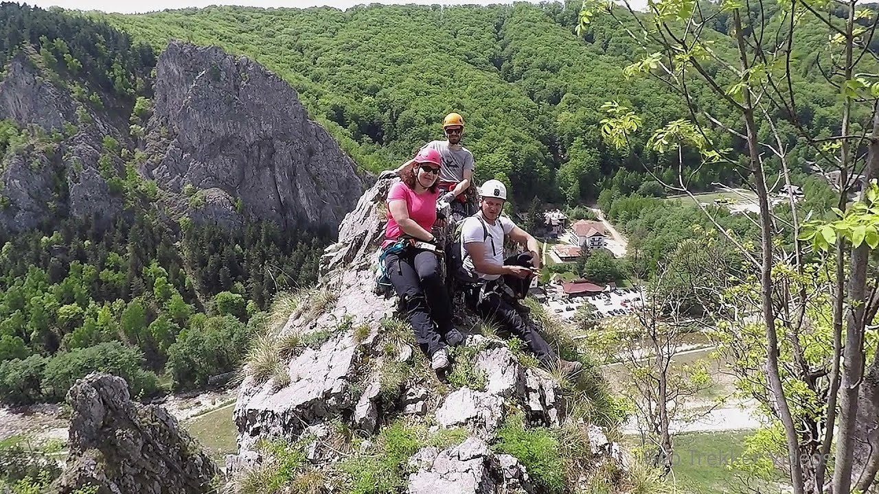
Ledge path of the chamois (Brana Caprelor) - Cheii Gorge (Cheile Cheii) - photos
Copyright © 2010 - 2025 Trekkingklub.com.
Already published 8151 photos and 128 videos. Please register for full access.
Photos of nearby places

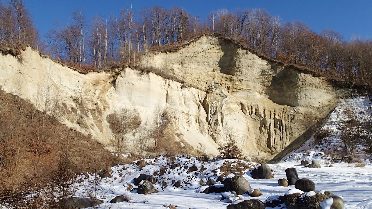
Doabra Snail Shells - Brezoi (12 photos) 13.1 km away
Doabra Valley - Calinesti-Brezoi forest - Lotru Valley, Cozia National Park

Circular hiking tour in Cozia Mountain (48 photos) 17.57 km away
Arutela - Turnu monastery - Rosiei Rocks - Turneanu ridge - Cozia peak - Stone portal - Stanisoara monastery - Gardului waterfall.

Women's Cave (Pestera Muierii) - Parang Mountains (11 photos) 30.24 km away
The Cave of Women (Pestera Muierii, Pestera Muierilor) is located at the southern foot of the Parang Mountains, in the area of Baia de Fier in Gorj County. There are several climbing routes established on the rocks above the cave and on the other side of the road.
[ Top ↑ ]
Videos of nearby places
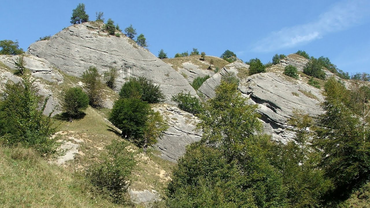
Doabra Stones - Brezoi, Lotru Mountains 13.29 km away
The DN7A road branches off west from the Olt Valley, from the main road between Sibiu and Ramnicu Valcea, leading towards Voineasa and Lake Vidra. The first settlement is a small town, Brezoi, which is located at the confluence of the Lotru and Olt rivers.
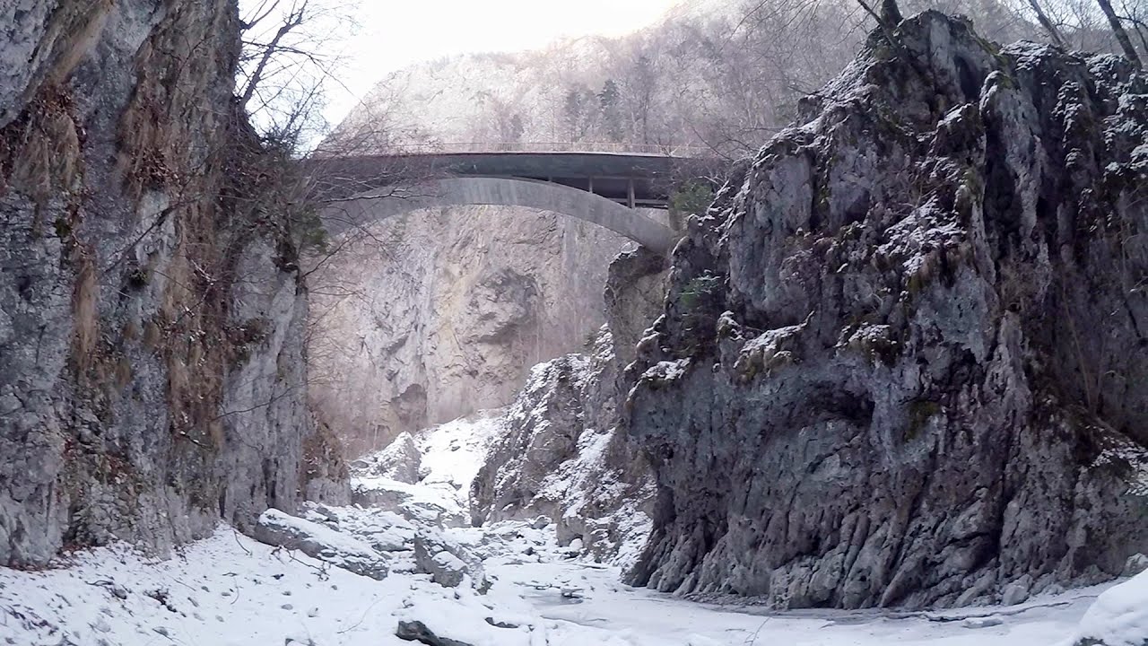
Oltet Gorges - Capatanii Mountains 27.94 km away
That day, we had planned to ski at the Ranca resort, situated alongside the Transalpina road in the Parang Mountains. Unfortunately, the minimal snowfall made skiing unfeasible, so we had to find an alternative activity on our way home.
Via Ferrata Pink Panther - Baia de Fier 29.92 km away
In the area of Baia de Fier in Gorj County, several via ferrata routes have been set up on the rock above the Women's Cave (Muierii Cave) and on the other side of the road. At that time (2018), there were a total of seven.
Other places
The Amphitheater of the Dragons (Amfiteatrul Zmeilor) Baia de Fier 30.17 km away
The Amphitheater of the Dragons is the seventh (2017) via ferrata route in Baia de Fier. It was inaugurated last year, on December 26, 2017, after Christmas.
The Amphitheater of the Dragons is the seventh (2017) via ferrata route in Baia de Fier. It was inaugurated last year, on December 26, 2017, after Christmas.
Black Rocks iron path Bihor Mountains 180.26 km away
Black Rocks is located in the Bihor Mountains, near the Vartop Saddle, to the west of it. It is interesting that the locals (if I understood correctly) do not know this name, but use the name Piatra Buna (meaning Good Stone) for this spectacular rock.
Black Rocks is located in the Bihor Mountains, near the Vartop Saddle, to the west of it. It is interesting that the locals (if I understood correctly) do not know this name, but use the name Piatra Buna (meaning Good Stone) for this spectacular rock.
Play Wall via ferrata park Mariazeller via ferrata, Felix's Ladder to the Heaven, Devil's Bridge 724.97 km away
Located only ten kilometers from the town of Mariazell, you'll find the via ferrata park known as the Play Wall (Klettersteigpark Spielmäuer). Here, we find three via ferratas: Olivers Mariazeller Steig (B/C), Felix Himmelleiter (D), and Tristans Kirchbogensteig (C).
Located only ten kilometers from the town of Mariazell, you'll find the via ferrata park known as the Play Wall (Klettersteigpark Spielmäuer). Here, we find three via ferratas: Olivers Mariazeller Steig (B/C), Felix Himmelleiter (D), and Tristans Kirchbogensteig (C).
Drina river house Bajina Bašta, Serbia 387.87 km away
The house visible on the Drina River is a unique wooden structure built on a rock in the middle of the river, near Bajina Bašta, Serbia. The house is located on the border between Serbia and Bosnia-Herzegovina, close to the border line between the two countries.
The house visible on the Drina River is a unique wooden structure built on a rock in the middle of the river, near Bajina Bašta, Serbia. The house is located on the border between Serbia and Bosnia-Herzegovina, close to the border line between the two countries.
With snowshoes in the Tihu creek valley Rastolita 216.59 km away
We met geotrekking treasure hunters from Gheorgheni, Miercurea Ciuc and Targu Mures in Rastolita. We entered the Calimani Mountains with an off-road vehicle, along the Rastolita and Tihu streams.
We met geotrekking treasure hunters from Gheorgheni, Miercurea Ciuc and Targu Mures in Rastolita. We entered the Calimani Mountains with an off-road vehicle, along the Rastolita and Tihu streams.
[ Top ↑ ]
[ Top ↑ ]
Copyright © 2003-2025 Trekkingklub and friends. Reproduction of any text, picture or video from this website, either in printed or electronic form, is prohibited without prior written permission. Nearby settlements: Gurguiata 8.15 km away, Tourist attractions near Malaia 10.89 km away. The given distances are to be understood as straight line distances, and are approximate. Website made in Miercurea Ciuc  .
.
 .
.


