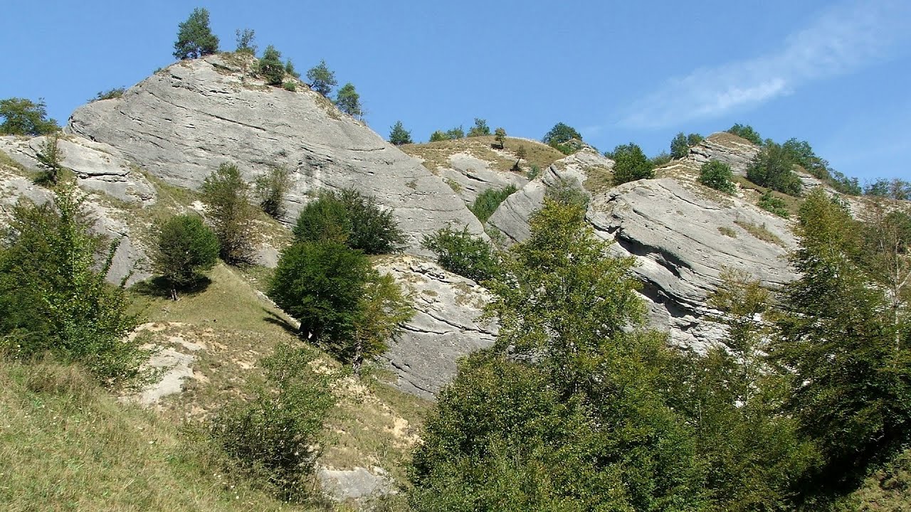
Oncesti, Batrana, and Rozdesti peaks - photos


Page no. 1, photos: 1-6, 30 photos in total. >>>

Copyright © 2012 - 2025 Trekkingklub.com.
Already published 8162 photos and 136 videos. Please register for full access.
Photos of nearby places


Parangul Mare peak (16 photos) 39.74 km away
Chamois saddle (Saua Caprelor), Carja mountain shelter (Refugiul Carja) - Carja peak (Varful Carja) - Stoienita peak (Varful Stoienita) - Gemanarea - Parangul Mare peak.

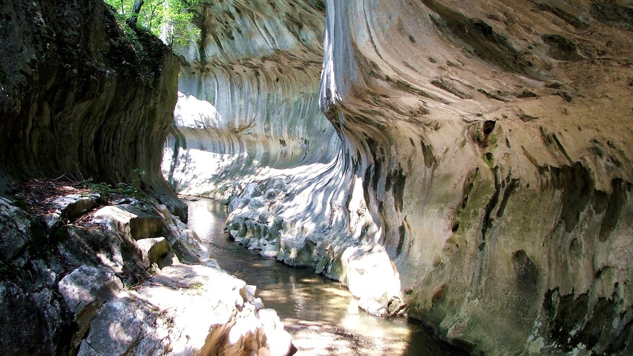
Doabra Snail Shells - Brezoi (12 photos) 40.7 km away
Doabra Valley - Calinesti-Brezoi forest - Lotru Valley, Cozia National Park


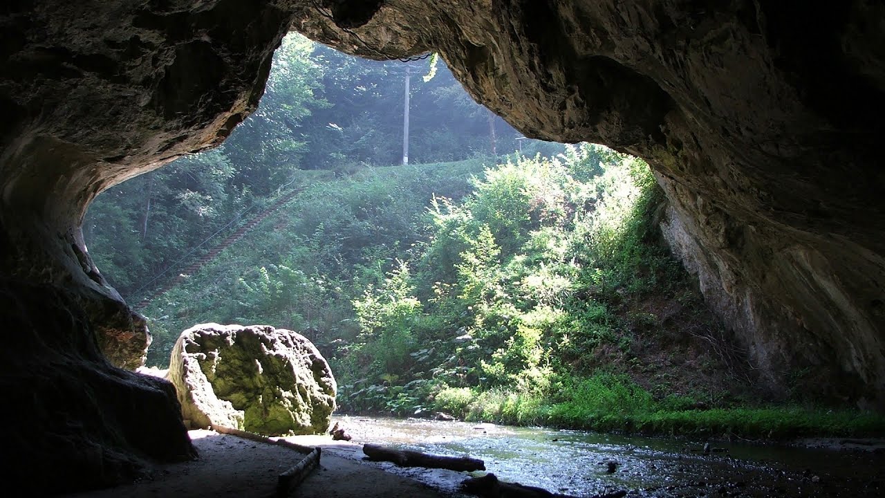
Bolii Cave - Banita (20 photos) 46.52 km away
The main cave passage is approximately 460 m long, with an entrance portal that is 10 m high and 20 m wide at its base. In the 1960s, bridges were built over the underground stream flowing through the cave.

[ Top ↑ ]
Videos of nearby places
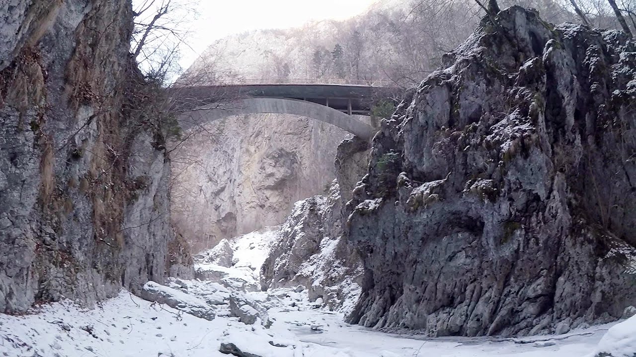
Doabra Stones - Brezoi, Lotru Mountains 40.7 km away
The DN7A road branches off west from the Olt Valley, from the main road between Sibiu and Ramnicu Valcea, leading towards Voineasa and Lake Vidra. The first settlement is a small town, Brezoi, which is located at the confluence of the Lotru and Olt rivers.
Key Gorge (Cheii Gorge, Cheile Cheii) - Buila-Vanturarita National Park, Capatana Mountains 43.17 km away
The Key Gorge (Cheii Gorge, Cheile Cheii) is located in the Buila-Vanturarita National Park within the Capatana Mountains. It is one of the most beautiful and picturesque gorges in Romania.
Oltet Gorges (Cheile Oltetului) - Capatana Mountains 45.7 km away
That day, we had planned to ski at the Ranca resort, situated alongside the Transalpina high altitude mountain road in the Parang Mountains. Unfortunately, the very small snowfall made skiing unfeasible, so we had to find an alternative activity on our way home.
Bolii Cave - Banita 46.52 km away
The Bolii Cave is located 6 km north of Petrosani, on the road that connects Hateg with the Jiu Valley. Here, the railway line that connects the two parts of Hunedoara County passes through, featuring a total of 66 curves and 8 tunnels.
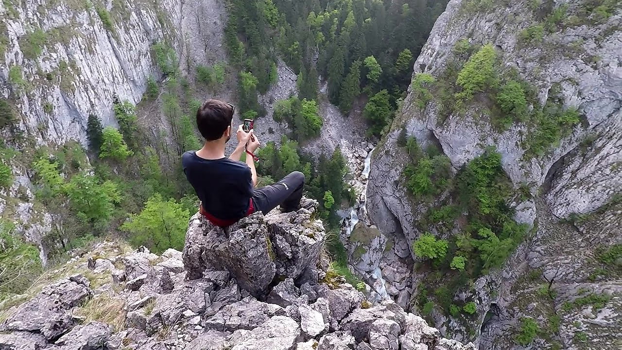
Banita Gorges and Banita rock bridge 47.19 km away
They say about this place that only very few people know about it, but that's not true. In fact, most nature lovers have heard of it, seen pictures taken here, even if not everyone has been able to come here.
Other places
Siklós castle 433.58 km away
The Siklós Castle is an important historical landmark in Hungary, its fortress walls were laid around 1260, with the first written record dating back to 1294. The fortification, built on a low elevation, features an inner tower, an irregular floor plan, and consists of both an outer and an inner fortress.
The Siklós Castle is an important historical landmark in Hungary, its fortress walls were laid around 1260, with the first written record dating back to 1294. The fortification, built on a low elevation, features an inner tower, an irregular floor plan, and consists of both an outer and an inner fortress.
Rossloch Klettersteig Leopoldsteiner See 722.76 km away
The D/E difficulty Rossloch via ferrata is situated at the top of the 900-meter-high Seemauer cliff, overlooking the Leopoldsteiner See in the western part of the Hochschwab mountain range. It is designed for experienced via ferrata climbers, and complements the already impressive Emperor Franz Joseph via ferrata, as the two routes can be connected.
The D/E difficulty Rossloch via ferrata is situated at the top of the 900-meter-high Seemauer cliff, overlooking the Leopoldsteiner See in the western part of the Hochschwab mountain range. It is designed for experienced via ferrata climbers, and complements the already impressive Emperor Franz Joseph via ferrata, as the two routes can be connected.
Thracian stone sharapani (Grape processing containers) Nochevo 428.69 km away
Sharapani is a traditional stone container used by ancient Thracians for processing grapes in wine production. Two well-preserved sharapani containers are located about 200 meters apart.
Sharapani is a traditional stone container used by ancient Thracians for processing grapes in wine production. Two well-preserved sharapani containers are located about 200 meters apart.
Seven Ladder Canyon in Winter Piatra Mare Mountain 137.9 km away
Seven Ladder Canyon and Waterfall in Winter - Piatra Mare Mountain
Seven Ladder Canyon and Waterfall in Winter - Piatra Mare Mountain
Mammoth Cave (Mammuthöhle) Dachstein Salzkammergut, Obertraun am Hallstättersee 805.04 km away
The first station of the Dachstein Krippenstein cable car, which starts in Obertraun, in the southern part of Lake Hallstatt, is Schönbergalm. Here you can find the Giant Ice Cave (Rieseneishöhle) and the Mammoth Cave (Mammuthöhle).
The first station of the Dachstein Krippenstein cable car, which starts in Obertraun, in the southern part of Lake Hallstatt, is Schönbergalm. Here you can find the Giant Ice Cave (Rieseneishöhle) and the Mammoth Cave (Mammuthöhle).
[ Top ↑ ]
[ Top ↑ ]
Copyright © 2003-2025 Trekkingklub and friends. Reproduction of any text, picture or video from this website, either in printed or electronic form, is prohibited without prior written permission. Nearby settlements: Paltinis 6.83 km away, Tourist attractions near Rau Sadului 14.79 km away. The given distances are to be understood as straight line distances, and are approximate. Website made in Miercurea Ciuc  .
.