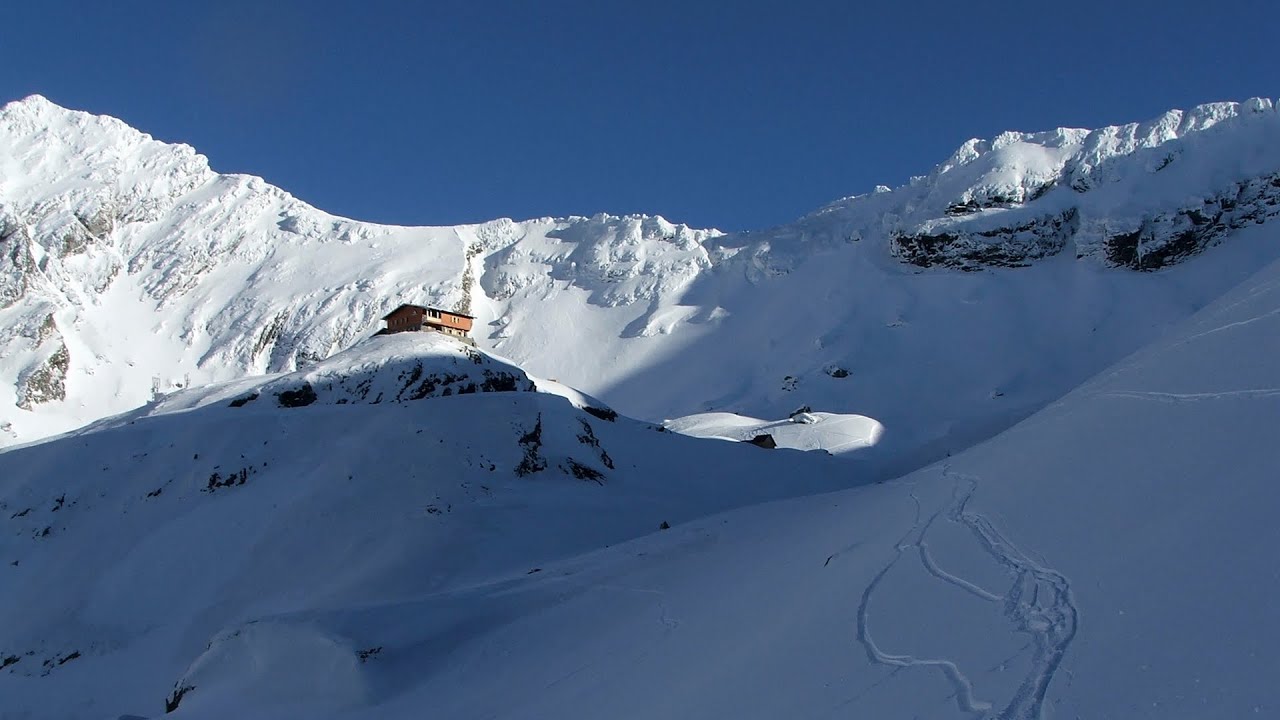
Balea Valley in April - Fagaras Mountains - photos
Copyright © 2012 - 2025 Trekkingklub.com.
Already published 8178 photos and 136 videos. Please register for full access.
Photos of nearby places
[ Top ↑ ]
Videos of nearby places
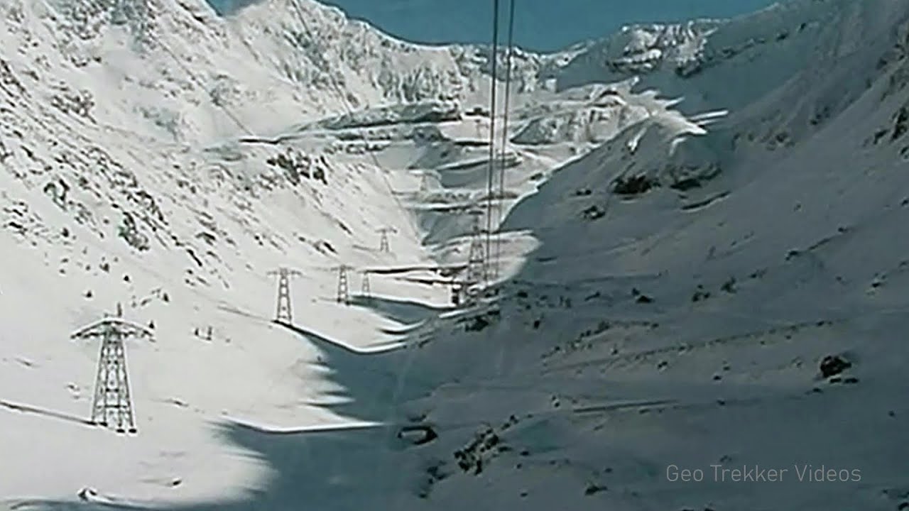
Snow-covered valley of Balea and the Transfagarasan in winter - The ascent 3.27 km away
The Fagarasi Mountains can be easily approached from the north, mainly by using the Transfagarasan Road. This high altitude mountain road is only accessible during the summer months (throughout its entire length), but from the Balea Waterfall station (Statia Balea Cascada) you can also reach the Balea Lake by cable car.
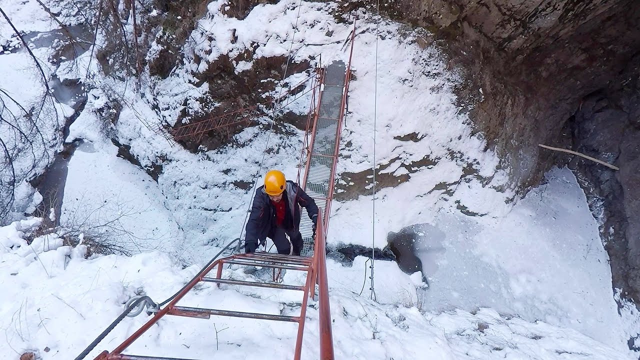
Stan Valley Canyon in winter 27.07 km away
The Stan Valley is a picturesque canyon, even in winter. In fact, when the stream is frozen and covered with a layer of snow, exploring the canyon becomes much quicker and easier.
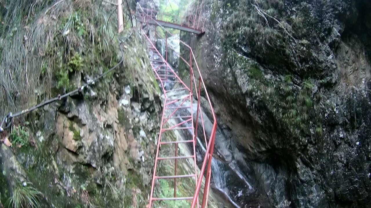
Stan Valley Canyon 27.38 km away
The Stan Valley is located near Lake Vidraru, southwest of it, in the Fruntii Mountains. Those who have visited the Seven Ladders Waterfall will appreciate this canyon, outfitted with infrastructure for tourist accessibility.
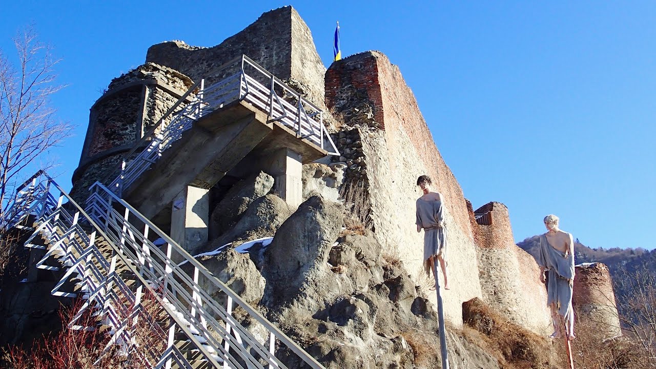
Poenari citadel - Arges valley 28.33 km away
The Poenari citadel is located on the southern slope of the Fagaras Mountains, on the western side of the Transfagaras road, in the Arges Valley, about 4 km from the Vidraru Lake dam. Along a steep incline, a concrete staircase leads up to the castle, which is built atop a mountain.
Other places
The Gorges of the Méouge Ribiers, Upper Alps 1485.3 km away
Following today's climb, I experienced the soothing pleasure of immersing myself in the turquoise waters of the Méouge creek, in the pond beneath a waterfall. If you find yourself in Sisteron or Grenoble, do not miss the opportunity to explore the magnificent Méouge valley near Ribiers.
Following today's climb, I experienced the soothing pleasure of immersing myself in the turquoise waters of the Méouge creek, in the pond beneath a waterfall. If you find yourself in Sisteron or Grenoble, do not miss the opportunity to explore the magnificent Méouge valley near Ribiers.
Meziad cave Padurea Craiului Mountains 208.68 km away
The Meziad Cave is located near the village of Meziad, 22 km north of Beius, in the Padurea Craiului Mountains. It is one of our first tourist caves, its exploration is associated with the name of Gyula Czárán, cave researcher and writer.
The Meziad Cave is located near the village of Meziad, 22 km north of Beius, in the Padurea Craiului Mountains. It is one of our first tourist caves, its exploration is associated with the name of Gyula Czárán, cave researcher and writer.
Corcoaia Gorge Gorj county 159.16 km away
The Corcoaia Gorge is one of the most beautiful tourist attractions in the Cerna Valley. It can be reached by car, 43 km away from Baile Herculane, of which about 17 km is on a dusty gravel road.
The Corcoaia Gorge is one of the most beautiful tourist attractions in the Cerna Valley. It can be reached by car, 43 km away from Baile Herculane, of which about 17 km is on a dusty gravel road.
Buzludzha monument Kazanluk 325.33 km away
Buzludzha is a historically significant mountain located in the Central Balkan Mountains of Bulgaria. At its summit, at an altitude of 1432 meters above sea level, there is an abandoned monument.
Buzludzha is a historically significant mountain located in the Central Balkan Mountains of Bulgaria. At its summit, at an altitude of 1432 meters above sea level, there is an abandoned monument.
Women's Spiral (Spirala Muierilor) via ferrata, climbing fun Baia de Fier 81.63 km away
The Women's Spiral (Spirala Muierilor) via ferrata is set up on the rock that conceals the Women's Cave (Pestera Muierii). It is one of the seven routes near Baia de Fier as of now (2018).
The Women's Spiral (Spirala Muierilor) via ferrata is set up on the rock that conceals the Women's Cave (Pestera Muierii). It is one of the seven routes near Baia de Fier as of now (2018).
[ Top ↑ ]
[ Top ↑ ]
Copyright © 2003-2025 Trekkingklub and friends. Reproduction of any text, picture or video from this website, either in printed or electronic form, is prohibited without prior written permission. Nearby settlements: Cartisoara 13.52 km away, Tourist attractions Cartisoara 13.52 km away. The given distances are to be understood as straight line distances, and are approximate. Website made in Miercurea Ciuc  .
.
 .
.


