Owl Fortress - Borsec, Giurgeu Mountains - photos
Copyright © 2007 - 2025 Trekkingklub.com.
Already published 8162 photos and 136 videos. Please register for full access.
Photos of nearby places

Stalactite Cave - Round Chair Hill, Borsec, Giurgeu Mountains (24 photos) 1.24 km away
The Stalactite Cave on the Round Chair Hill is the longest cave formed in travertine in the country. Its formation was mainly influenced by an open system of diaclases, which fragmented the travertine, with the contribution of infiltrated rainwater being essential in the transport and dissolution of limestone.

Bears' cave, Ice Grotto - Borsec (12 photos) 1.27 km away
The Bears' cave is actually a deep rock fissure with a path leading into it. Local belief long considered it to be the habitat of bears, which is where the name comes from.

Borsec (9 photos) 1.8 km away
Borsec is one of the most beautifully situated resorts in the Eastern Carpathians. It consists of two parts: Lower Borsec and Upper Borsec, the latter being the actual resort area.

The Valleys of the Streams of the Cups (Cupelor, Kupás) and Rogozu (Szacskai) - Borsec (6 photos) 4.69 km away
September 7, 2003; September 14, 2003; November 10, 2007.
[ Top ↑ ]
Videos of nearby places
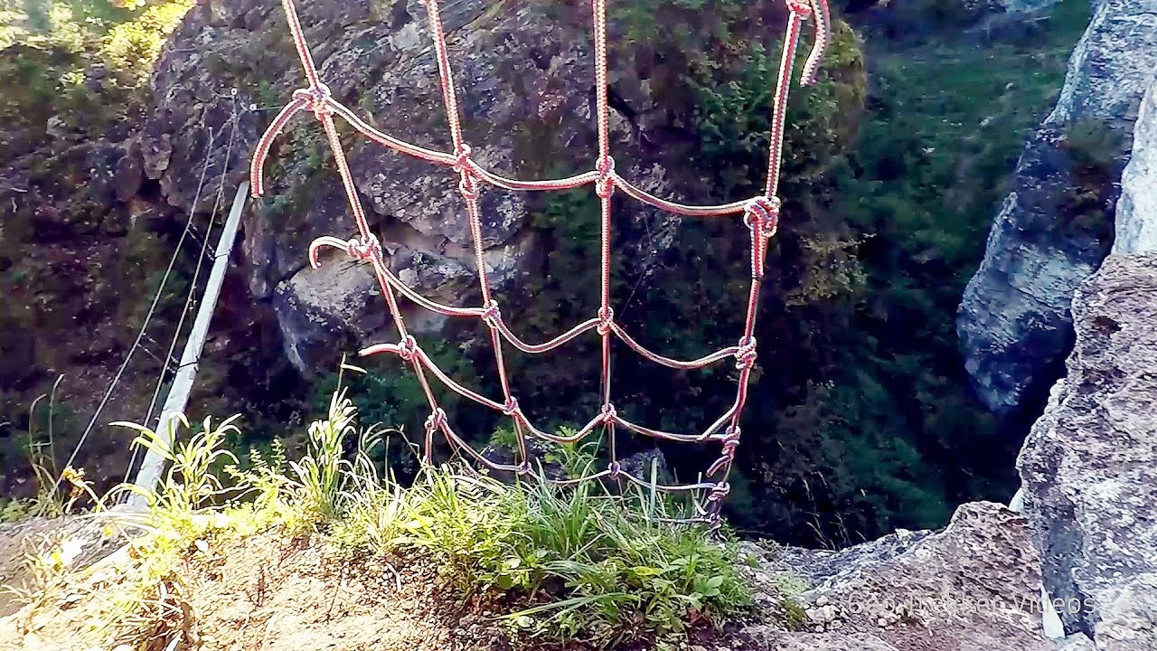
Via ferrata Bear Cave adventure and climbing zone - Borsec 1.29 km away
The Bear Cave in Borsec is a vast natural formation, scattered with rocks and deep crevices. Access to the cave's cavities is through a series of narrow formations resembling canyons, surrounded by giant fir trees and rocks with interesting shapes.
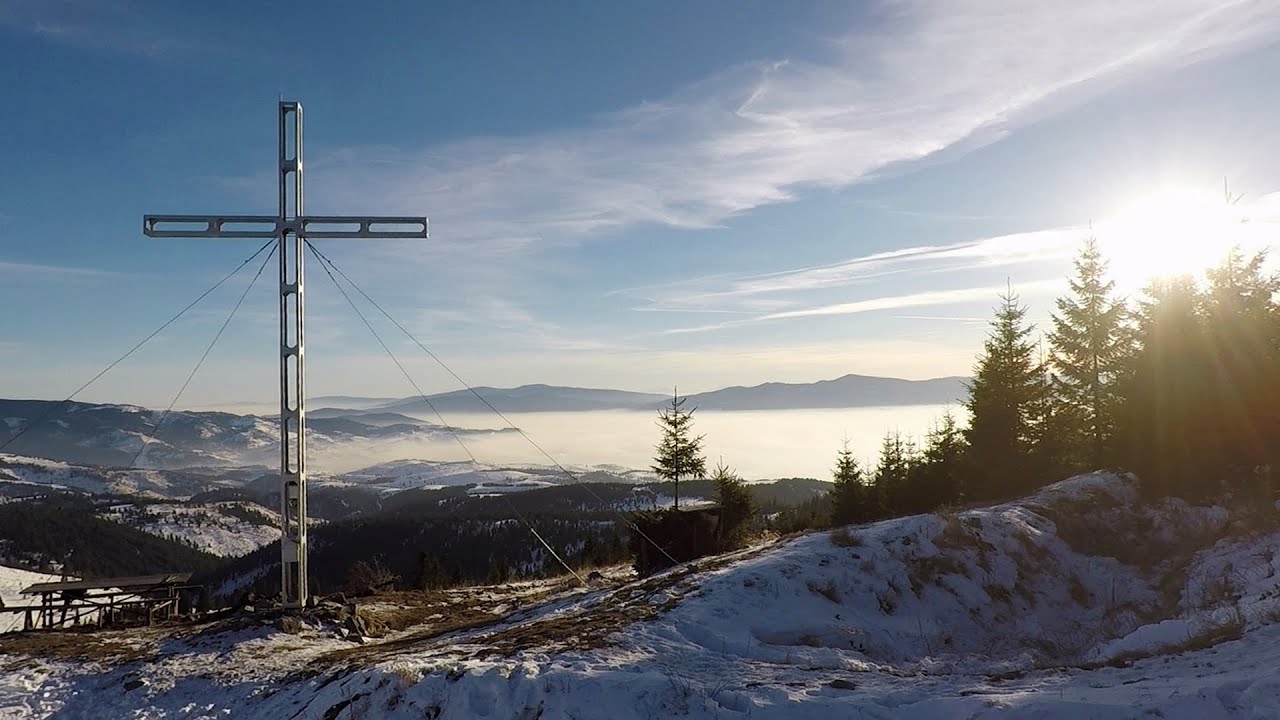
Pricske peak - Giurgeu Mountains 18.94 km away
If we want to reach Pricske (Prisca) peak, which rises above Gheorgheni and Lazarea, we start from the valley of the Güdüc (Ghidut) stream. Our path leads us past the ruins of a building known as the White House.
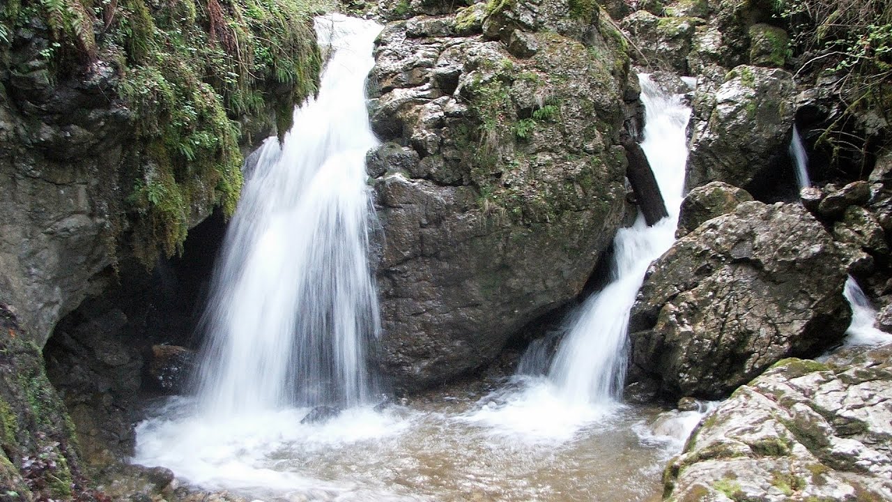
Waterfalls of Lapos creek - Bicaz Gorges 24.28 km away
One of the lesser-known attractions of the Bicaz Gorges is the series of waterfalls along Lapos Creek. This creek flows between Cupas Stone and Bardos Stone before eventually merging with Bicaz Creek, forming spectacular waterfalls beneath the Altar Stone.
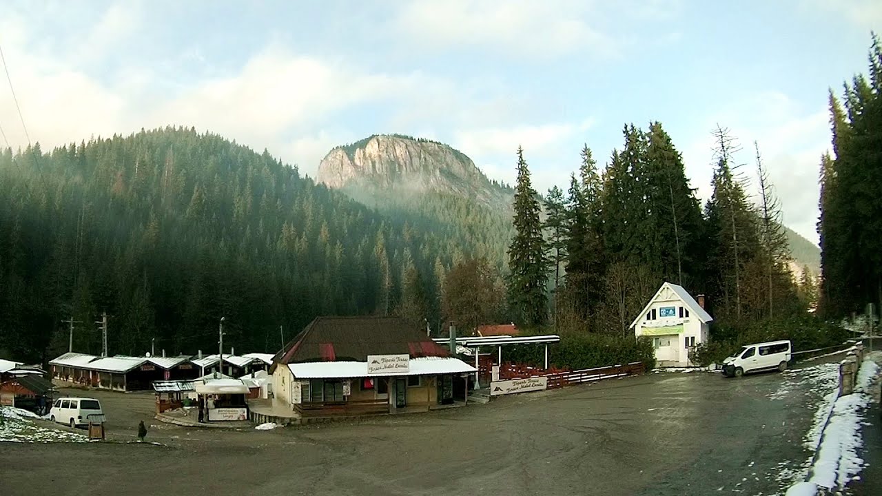
Wild Ferenc memorial path - Suhardul Mic 24.32 km away
In recent days, this news has been everywhere: the via ferrata route built on the southwest wall of Suhardul Mic (Little Suhard) has finally been completed and inaugurated. The new route has been named after Ferenc Wild, in memory of the former mountain rescuer, sports writer, and one of the founders of the mountain rescue association in Gheorgheni.
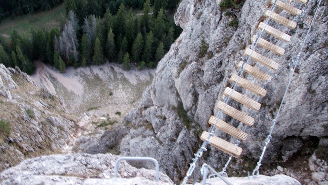
Wild Ferenc iron path - Suhardul Mic 24.33 km away
While I climbed the new iron path mostly in the dark for the first time, this time I managed to explore it during the day. But I still missed the sunset by a few minutes.
Other places
Pricske peak Giurgeu Mountains 18.94 km away
If we want to reach Pricske (Prisca) peak, which rises above Gheorgheni and Lazarea, we start from the valley of the Güdüc (Ghidut) stream. Our path leads us past the ruins of a building known as the White House.
If we want to reach Pricske (Prisca) peak, which rises above Gheorgheni and Lazarea, we start from the valley of the Güdüc (Ghidut) stream. Our path leads us past the ruins of a building known as the White House.
Iron path in winter Harghita Madaras 56.44 km away
This is already the sixth time I've climbed the via ferrata route set up on the rocky cliffs of Seii Peak near Harghita Madaras. Although the forecast suggests that the weather should be nice, I am greeted by a sky covered in clouds.
This is already the sixth time I've climbed the via ferrata route set up on the rocky cliffs of Seii Peak near Harghita Madaras. Although the forecast suggests that the weather should be nice, I am greeted by a sky covered in clouds.
Zip-line near Seven Ladder Canyon Piatra Mare Mountain 154.08 km away
Rossloch Klettersteig Leopoldsteiner See 811.97 km away
The D/E difficulty Rossloch via ferrata is situated at the top of the 900-meter-high Seemauer cliff, overlooking the Leopoldsteiner See in the western part of the Hochschwab mountain range. It is designed for experienced via ferrata climbers, and complements the already impressive Emperor Franz Joseph via ferrata, as the two routes can be connected.
The D/E difficulty Rossloch via ferrata is situated at the top of the 900-meter-high Seemauer cliff, overlooking the Leopoldsteiner See in the western part of the Hochschwab mountain range. It is designed for experienced via ferrata climbers, and complements the already impressive Emperor Franz Joseph via ferrata, as the two routes can be connected.
Womens Spiral, Cave Ridge, and The Great Crack iron paths Baia de Fier 242.3 km away
Perhaps the most interesting via ferrata among the routes in the Baia de Fier area is the Womens Spiral. After completing it, I can say that it is the second most thrilling via ferrata in Romania, following the Big Via Ferrata at Rasnov.
Perhaps the most interesting via ferrata among the routes in the Baia de Fier area is the Womens Spiral. After completing it, I can say that it is the second most thrilling via ferrata in Romania, following the Big Via Ferrata at Rasnov.
[ Top ↑ ]
[ Top ↑ ]
Copyright © 2003-2025 Trekkingklub and friends. Reproduction of any text, picture or video from this website, either in printed or electronic form, is prohibited without prior written permission. Nearby settlements: Borsec 1.69 km away, Tourist attractions Borsec 1.69 km away. The given distances are to be understood as straight line distances, and are approximate. Website made in Miercurea Ciuc  .
.
 .
.


