Stalactite Cave - Round Chair Hill, Borsec, Giurgeu Mountains - photos
The Stalactite Cave on the Round Chair Hill is the longest cave formed in travertine in the country. Its formation was mainly influenced by an open system of diaclases, which fragmented the travertine, with the contribution of infiltrated rainwater being essential in the transport and dissolution of limestone.
Read more
Copyright © 2007 - 2025 Trekkingklub.com.
Already published 8178 photos and 136 videos. Please register for full access.
Photos of nearby places

Borsec (9 photos) 0.56 km away
Borsec is one of the most beautifully situated resorts in the Eastern Carpathians. It consists of two parts: Lower Borsec and Upper Borsec, the latter being the actual resort area.

Bears' cave, Ice Grotto - Borsec (12 photos) 0.69 km away
The Bears' cave is actually a deep rock fissure with a path leading into it. Local belief long considered it to be the habitat of bears, which is where the name comes from.

The Valleys of the Streams of the Cups (Cupelor, Kupás) and Rogozu (Szacskai) - Borsec (6 photos) 4.54 km away
September 7, 2003; September 14, 2003; November 10, 2007.
[ Top ↑ ]
Videos of nearby places
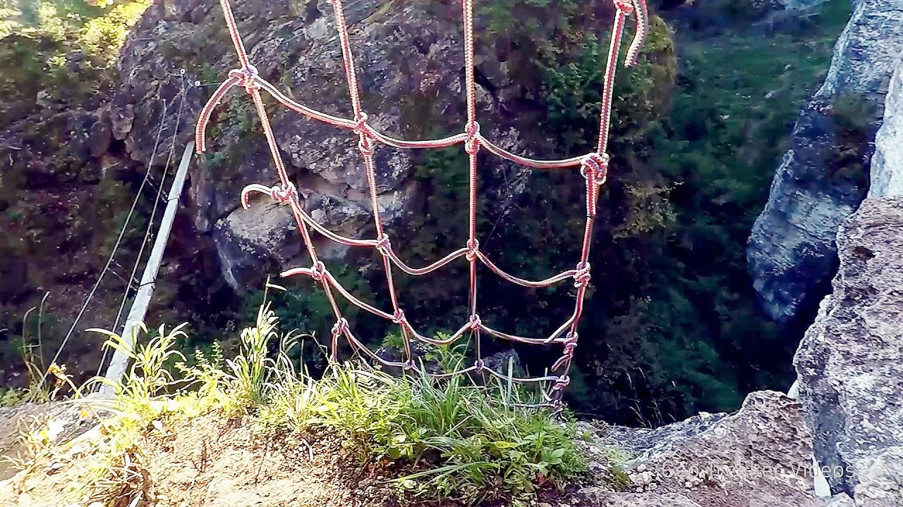
Via ferrata Bear Cave adventure and climbing zone - Borsec 0.69 km away
The Bear Cave in Borsec is a vast natural formation, scattered with rocks and deep crevices. Access to the cave's cavities is through a series of narrow formations resembling canyons, surrounded by giant fir trees and rocks with interesting shapes.
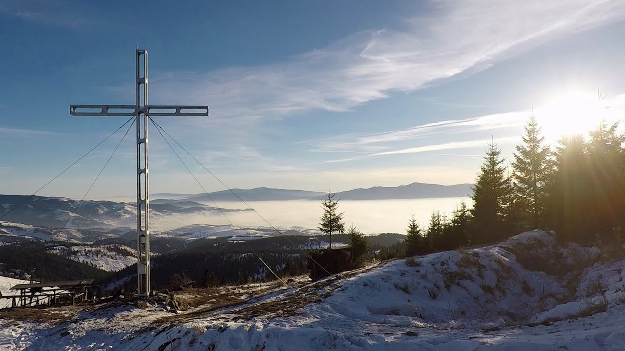
Pricske peak - Giurgeu Mountains 19.86 km away
If we want to reach Pricske (Prisca) peak, which rises above Gheorgheni and Lazarea, we start from the valley of the Güdüc (Ghidut) stream. Our path leads us past the ruins of a building known as the White House.
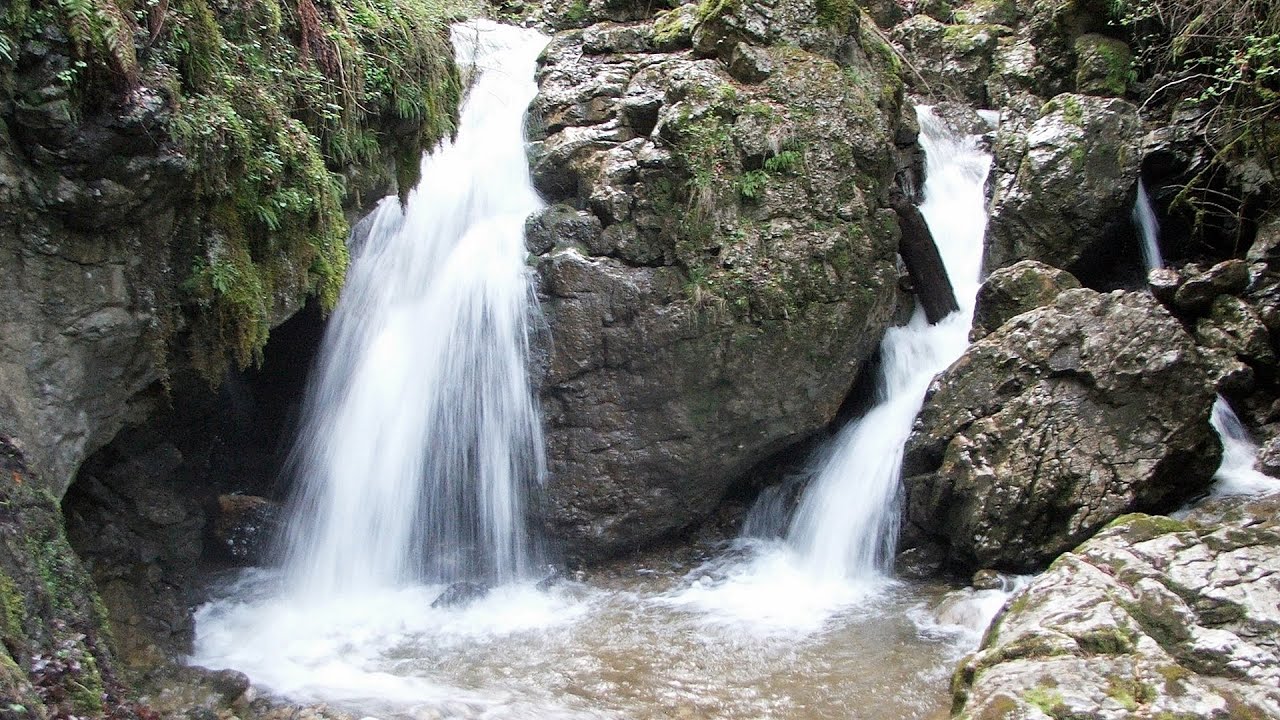
Waterfalls of Lapos creek - Bicaz Gorges 25.52 km away
One of the lesser-known attractions of the Bicaz Gorges is the series of waterfalls along Lapos Creek. This creek flows between Cupas Stone and Bardos Stone before eventually merging with Bicaz Creek, forming spectacular waterfalls beneath the Altar Stone.
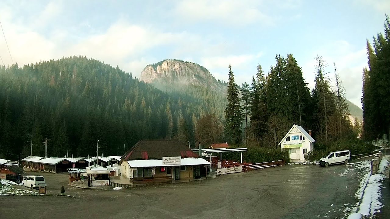
Wild Ferenc memorial path - Suhardul Mic 25.54 km away
In recent days, this news has been everywhere: the via ferrata route built on the southwest wall of Suhardul Mic (Little Suhard) has finally been completed and inaugurated. The new route has been named after Ferenc Wild, in memory of the former mountain rescuer, sports writer, and one of the founders of the mountain rescue association in Gheorgheni.
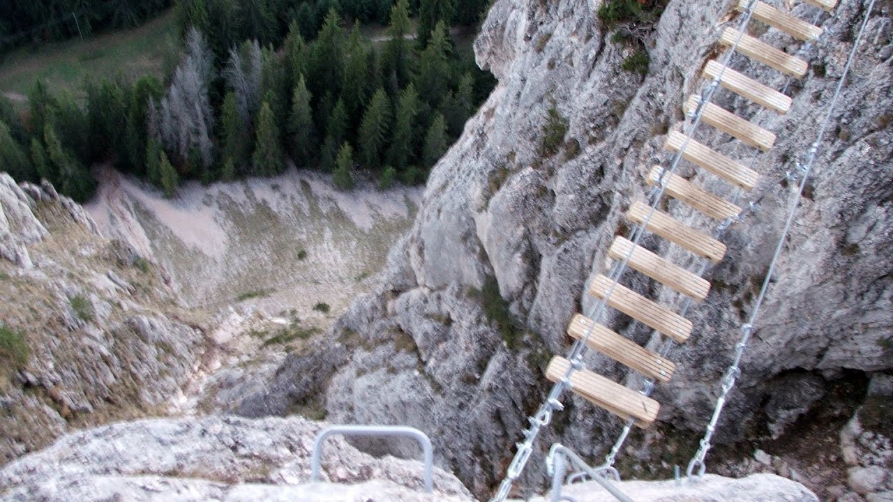
Wild Ferenc iron path - Suhardul Mic 25.55 km away
While I climbed the new iron path mostly in the dark for the first time, this time I managed to explore it during the day. But I still missed the sunset by a few minutes.
Other places
Lednica iron path Brestnitsa 449.76 km away
The Lednica via ferrata is located next to the Saeva Dupka Cave, near the village of Brestnitsa in Bulgaria. The trail leading to the via ferrata, which opened in 2007, starts from the cave parking lot next to a covered resting area.
The Lednica via ferrata is located next to the Saeva Dupka Cave, near the village of Brestnitsa in Bulgaria. The trail leading to the via ferrata, which opened in 2007, starts from the cave parking lot next to a covered resting area.
Sky Walk, Suspension Bridge, Stairway to Nothingness Styria, Dachstein 903 km away
The Dachstein cable car (Gletscherbahn Panorama Gondel, Panorama Cable Car) took me up to a height of 2700 meters, to the highest mountain in Styria (Steiermark), the Dachstein. Next to the upper station of the cable car there are several tourist attractions.
The Dachstein cable car (Gletscherbahn Panorama Gondel, Panorama Cable Car) took me up to a height of 2700 meters, to the highest mountain in Styria (Steiermark), the Dachstein. Next to the upper station of the cable car there are several tourist attractions.
Seven Ladder Canyon and Waterfall Piatra Mare Mountain 156.24 km away
The Seven Ladder Gorge is the largest and most spectacular gorge in the Piatra Mare massif. The narrow canyon has a length of 160 meters, and over a drop of 58 meters includes 7 bigger and several smaller waterfalls.
The Seven Ladder Gorge is the largest and most spectacular gorge in the Piatra Mare massif. The narrow canyon has a length of 160 meters, and over a drop of 58 meters includes 7 bigger and several smaller waterfalls.
Zip-line near Seven Ladder Canyon Piatra Mare Mountain 154.9 km away
Iron path Harghita-Madaras 57.21 km away
Amateur filming in Harghita-Madaras, holding the camera by hand in the car, and helmet-mounted on the via ferrata. I climbed an iron path for the first time in my life on the Nyerges cliffs (Stancile Seii), I didn't have the right equipment yet.
Amateur filming in Harghita-Madaras, holding the camera by hand in the car, and helmet-mounted on the via ferrata. I climbed an iron path for the first time in my life on the Nyerges cliffs (Stancile Seii), I didn't have the right equipment yet.
[ Top ↑ ]
[ Top ↑ ]
Copyright © 2003-2025 Trekkingklub and friends. Reproduction of any text, picture or video from this website, either in printed or electronic form, is prohibited without prior written permission. Nearby settlements: Borsec 0.95 km away, Tourist attractions near Borsec 0.95 km away. The given distances are to be understood as straight line distances, and are approximate. Website made in Miercurea Ciuc  .
.
 .
.


