Babele Gurghiului, Batrana Peak - Gurghiului Mountains - photos
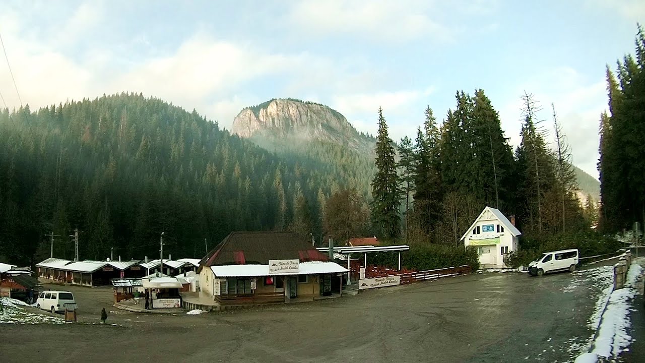
Babele Gurghiului (Babele meaning old women) is a rock formation near Toplita, in the Gurghiului Mountains. The name comes from some mushroom shaped structures, formed due to erosion and to different rock durity.
Copyright © 2008 - 2025 Trekkingklub.com.
Already published 8151 photos and 128 videos. Please register for full access.
Photos of nearby places
[ Top ↑ ]
Videos of nearby places
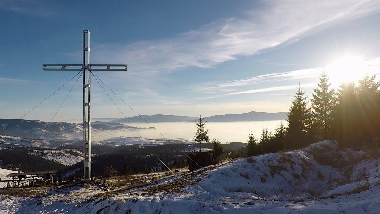
Pricske peak - Giurgeu Mountains 24.81 km away
If we want to reach Pricske (Prisca) peak, which rises above Gheorgheni and Lazarea, we start from the valley of the Güdüc (Ghidut) stream. Our path leads us past the ruins of a building known as the White House.
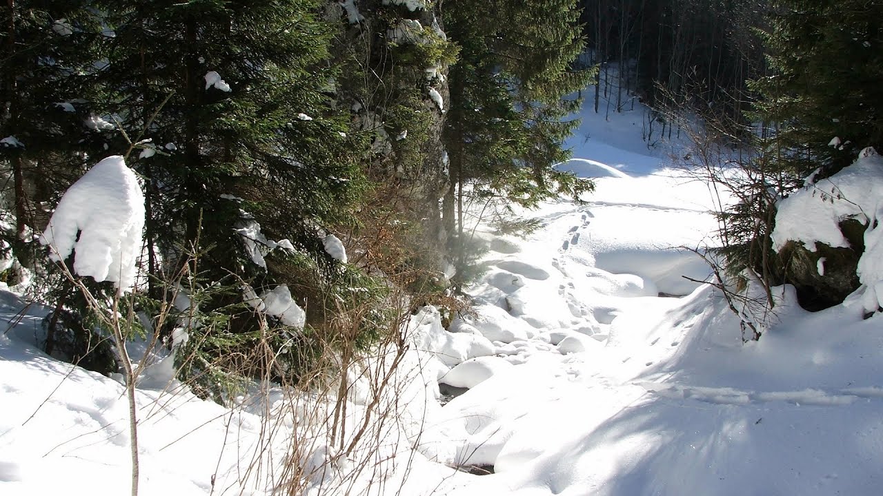
With snowshoes in the Tihu creek valley - Rastolita 30.23 km away
We met geotrekking treasure hunters from Gheorgheni, Miercurea Ciuc and Targu Mures in Rastolita. We entered the Calimani Mountains with an off-road vehicle, along the Rastolita and Tihu streams.
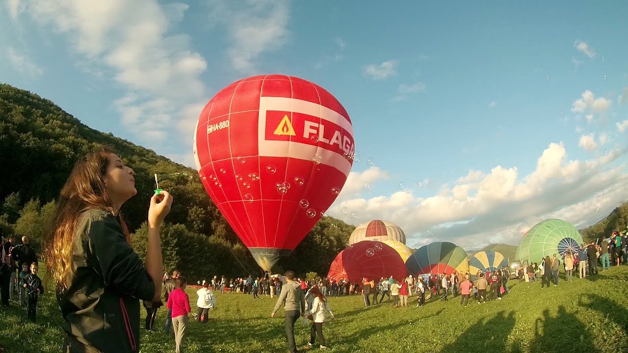
Hot air balloon parade 2015 - Campu Cetatii 30.57 km away
This year, the Hot Air Balloon Parade was organized in Campu Cetatii for the tenth time. Unfortunately, the weather only allowed for flying on Saturday morning and evening.
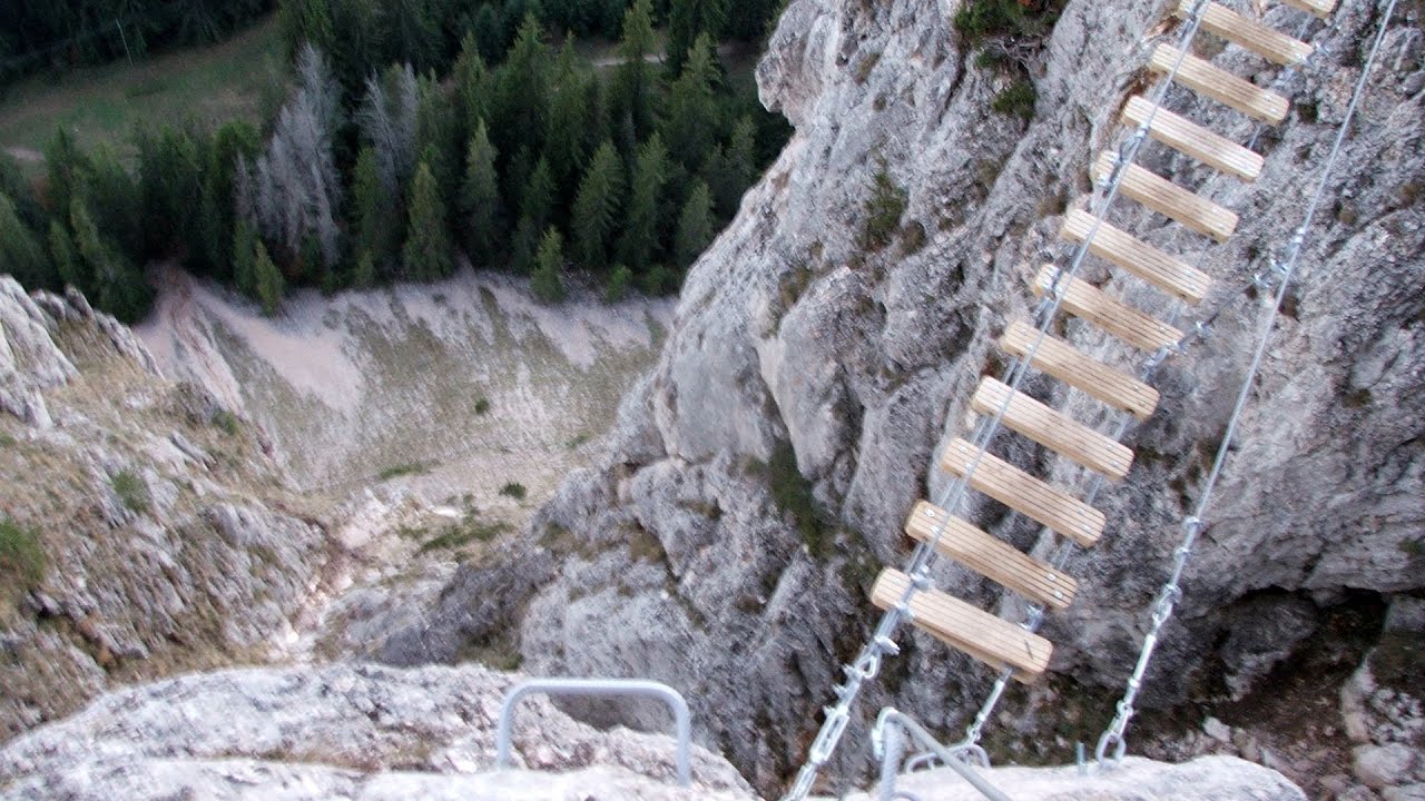
Wild Ferenc iron path - Suhardul Mic 38.2 km away
While I climbed the new iron path mostly in the dark for the first time, this time I managed to explore it during the day. But I still missed the sunset by a few minutes.
Wild Ferenc memorial path - Suhardul Mic 38.2 km away
In recent days, this news has been everywhere: the via ferrata route built on the southwest wall of Suhardul Mic (Little Suhard) has finally been completed and inaugurated. The new route has been named after Ferenc Wild, in memory of the former mountain rescuer, sports writer, and one of the founders of the mountain rescue association in Gheorgheni.
Other places
Handeckfallbrücke, Gelmerbahn, Gelmersee Schweiz 1291.51 km away
Although the path from the Gelmerbahn parking bypasses the Handeckfall waterfall, it is worth descending a few steps from the valley station of the funicular, to reach Handeckfallbrücke. A 70-meter long suspension bridge that hangs 70 meters above the gorge, offering a spectacular view of the waterfall.
Although the path from the Gelmerbahn parking bypasses the Handeckfall waterfall, it is worth descending a few steps from the valley station of the funicular, to reach Handeckfallbrücke. A 70-meter long suspension bridge that hangs 70 meters above the gorge, offering a spectacular view of the waterfall.
Ski Gyimes ski slope Lunca de Sus 62.43 km away
The Ski Gyimes ski slope is located in Lunca de Sus, right next to the main road. It is 800 m long, the level difference is 160 m.
The Ski Gyimes ski slope is located in Lunca de Sus, right next to the main road. It is 800 m long, the level difference is 160 m.
God's bridge (Bozhite mostove, Bozhi Most) Vratsa 416.69 km away
Anyone who has been to Bulgaria may be familiar with the Prohodna Cave, affectionately known as the Eyes of God; the Devetashka Cave, illuminated by seven windows in its ceiling; and perhaps they have also seen the Wonderful Bridges in the Rhodope Mountains. But there is another spectacular natural stone bridge in this country, known as the Bridge of God.
Anyone who has been to Bulgaria may be familiar with the Prohodna Cave, affectionately known as the Eyes of God; the Devetashka Cave, illuminated by seven windows in its ceiling; and perhaps they have also seen the Wonderful Bridges in the Rhodope Mountains. But there is another spectacular natural stone bridge in this country, known as the Bridge of God.
Via Ferrata Fairy Castle (Castelul Zanelor, Casa Zmeului, The House of the Dragon) Vadu Crisului 211.9 km away
South of Vadu Crisului, in the Padurea Craiului Mountains, lies the Vadu Crisului Gorge, a section of the Crisul Repede river that narrows between rocky walls. In the Middle Ages, there was intense log transportation activity here, and the transport of salt and timber to Hungary passed through this area.
South of Vadu Crisului, in the Padurea Craiului Mountains, lies the Vadu Crisului Gorge, a section of the Crisul Repede river that narrows between rocky walls. In the Middle Ages, there was intense log transportation activity here, and the transport of salt and timber to Hungary passed through this area.
The Trovants Museum in Winter Costesti 213.2 km away
[ Top ↑ ]
[ Top ↑ ]
Copyright © 2003-2025 Trekkingklub and friends. Reproduction of any text, picture or video from this website, either in printed or electronic form, is prohibited without prior written permission. Nearby settlements: Calnaci 5.22 km away, Tourist attractions Toplita 8.73 km away. The given distances are to be understood as straight line distances, and are approximate. Website made in Miercurea Ciuc  .
.
 .
.


