Owl fortress - Lunca de Sus, Ghimes - photos
Copyright © 2009 - 2025 Trekkingklub.com.
Already published 8178 photos and 136 videos. Please register for full access.
Photos of nearby places
[ Top ↑ ]
Videos of nearby places

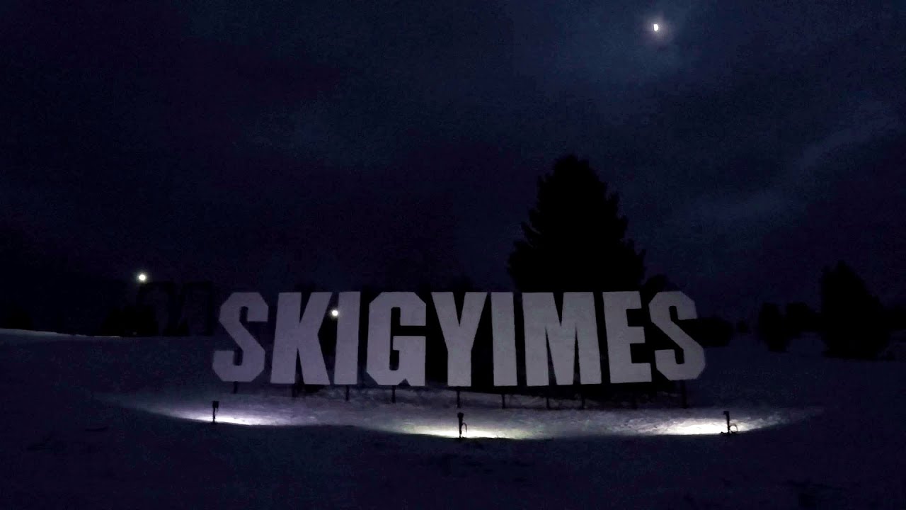
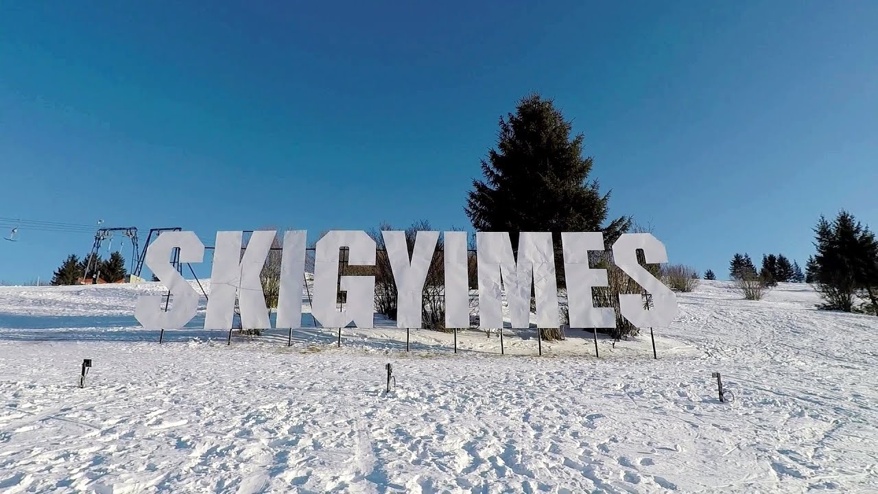
Ski Gyimes ski slope - Lunca de Sus 1.56 km away
The Ski Gyimes ski slope is located in Lunca de Sus, right next to the main road. It is 800 m long, the level difference is 160 m.

SkiGyimes ski slope - Lunca de Sus 1.57 km away
It is well-known that in Rimetea, due to the Piatra Secuiului (Szekler's Rock) mountain, the Sun rises twice. However, perhaps few know that in Lunca de Sus, the Sun sets three times.

Giant fir trees - Ghimes 14.44 km away
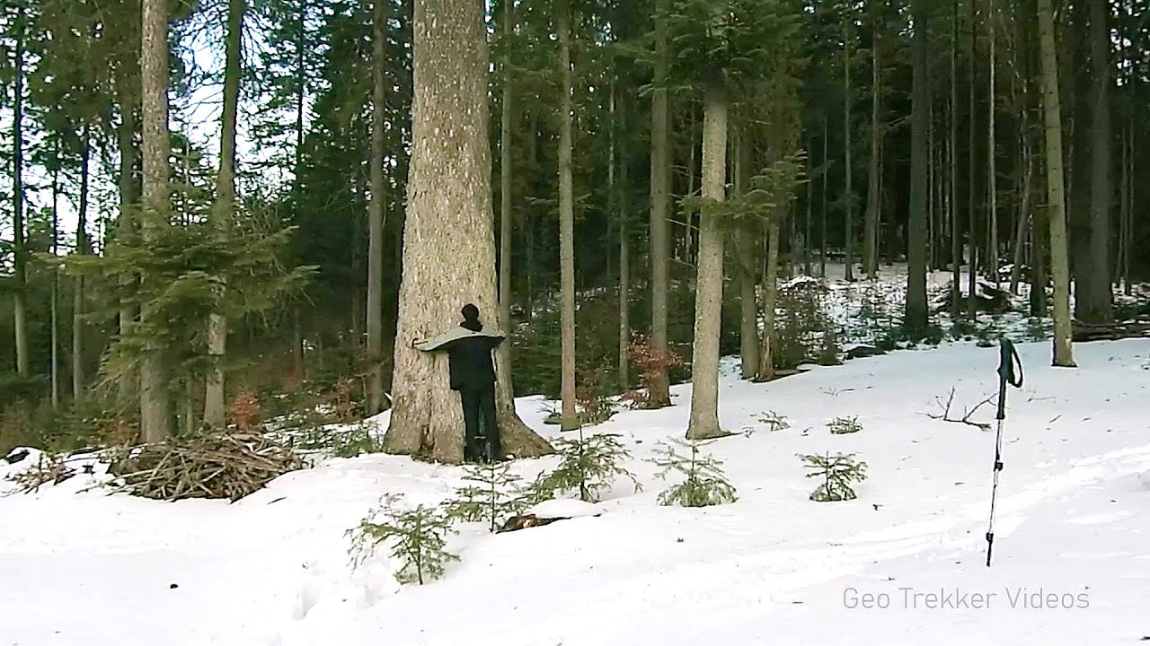
One of the lesser-known attractions of Ghimes is the two giant-sized common fir trees. They are 42 meters tall, and have diameters of 110 cm and 130 cm at chest height.

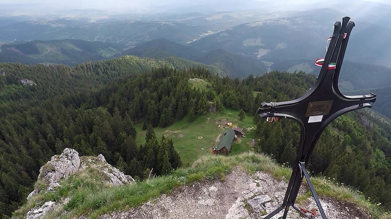
Lonely Stone (Piatra Singuratica) - Hasmas Mountains 19.27 km away
On June 1, 2003, with a small group of friends, I left Balan, walking along the valley of the Sep (Beautiful) stream towards the Lonely Stone (Piatra Singuratica). Those who were with me at the time fell behind, and then other people joined for the hike.

Walking to the top of Sumuleul Mare - Sumuleu Ciuc 20.21 km away
This was my first attempt at shooting a video.
Other places
Skaklya waterfall Vratsa 418.03 km away
The largest seasonal waterfall in Bulgaria plunges down from a height of 141 meters. It is located in the Vratsa Mountain National Park, just one and a half kilometers away from the city of Vratsa.
The largest seasonal waterfall in Bulgaria plunges down from a height of 141 meters. It is located in the Vratsa Mountain National Park, just one and a half kilometers away from the city of Vratsa.
Grande Fistoire iron path Le Caire, Alpes-de-Haute-Provence 1564.83 km away
Because I lost the footage I made the first time (don't buy SD cards from Alibaba!), at the end of June I visited this great and exciting via ferrata again.
Because I lost the footage I made the first time (don't buy SD cards from Alibaba!), at the end of June I visited this great and exciting via ferrata again.
Oltet Gorges (Cheile Oltetului) Capatana Mountains 223.94 km away
That day, we had planned to ski at the Ranca resort, situated alongside the Transalpina high altitude mountain road in the Parang Mountains. Unfortunately, the very small snowfall made skiing unfeasible, so we had to find an alternative activity on our way home.
That day, we had planned to ski at the Ranca resort, situated alongside the Transalpina high altitude mountain road in the Parang Mountains. Unfortunately, the very small snowfall made skiing unfeasible, so we had to find an alternative activity on our way home.
Play Wall via ferrata park Mariazeller via ferrata, Felix's Ladder to the Heaven, Devil's Bridge 814.01 km away
Located only ten kilometers from the town of Mariazell, you'll find the via ferrata park known as the Play Wall (Klettersteigpark Spielmäuer). Here, we find three via ferratas: Olivers Mariazeller Steig (B/C), Felix Himmelleiter (D), and Tristans Kirchbogensteig (C).
Located only ten kilometers from the town of Mariazell, you'll find the via ferrata park known as the Play Wall (Klettersteigpark Spielmäuer). Here, we find three via ferratas: Olivers Mariazeller Steig (B/C), Felix Himmelleiter (D), and Tristans Kirchbogensteig (C).
Thracian stone sharapani (Grape processing containers) Nochevo 521.2 km away
Sharapani is a traditional stone container used by ancient Thracians for processing grapes in wine production. Two well-preserved sharapani containers are located about 200 meters apart.
Sharapani is a traditional stone container used by ancient Thracians for processing grapes in wine production. Two well-preserved sharapani containers are located about 200 meters apart.
[ Top ↑ ]
[ Top ↑ ]
Copyright © 2003-2025 Trekkingklub and friends. Reproduction of any text, picture or video from this website, either in printed or electronic form, is prohibited without prior written permission. Nearby settlements: Valea Garbea 0.66 km away, Tourist attractions Lunca de Sus 0.76 km away. The given distances are to be understood as straight line distances, and are approximate. Website made in Miercurea Ciuc  .
.
 .
.


