Owls Rock - Iavardi - photos
Copyright © 2012 - 2025 Trekkingklub.com.
Already published 8190 photos and 136 videos. Please register for full access.
Photos of nearby places

Brother Mountain (Ecsém-tető, Muntele Fratele, Muntele Ecem) - Hasmas Mountains (11 photos) 6.77 km away
[ Top ↑ ]
Videos of nearby places
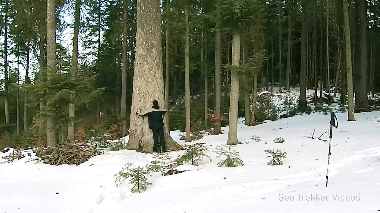
Giant fir trees - Ghimes 1.5 km away
One of the lesser-known attractions of Ghimes is the two giant-sized common fir trees. They are 42 meters tall, and have diameters of 110 cm and 130 cm at chest height.
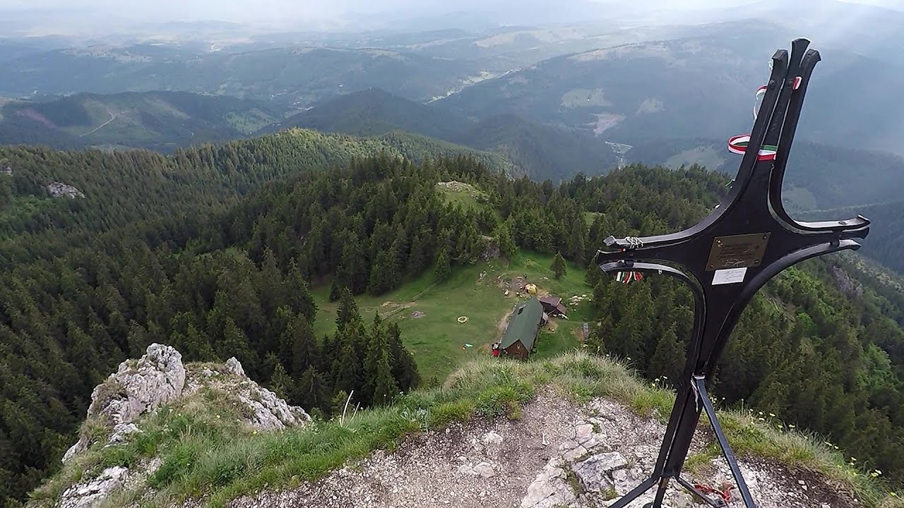
Lonely Stone (Piatra Singuratica) - Hasmas Mountains 7.58 km away
On June 1, 2003, with a small group of friends, I left Balan, walking along the valley of the Sep (Beautiful) stream towards the Lonely Stone (Piatra Singuratica). Those who were with me at the time fell behind, and then other people joined for the hike.

Ski Gyimes ski slope - Lunca de Sus 14.9 km away
The Ski Gyimes ski slope is located in Lunca de Sus, right next to the main road. It is 800 m long, the level difference is 160 m.
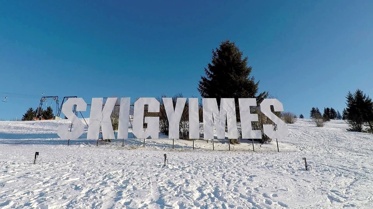
SkiGyimes ski slope - Lunca de Sus 14.9 km away
It is well-known that in Rimetea, due to the Piatra Secuiului (Szekler's Rock) mountain, the Sun rises twice. However, perhaps few know that in Lunca de Sus, the Sun sets three times.
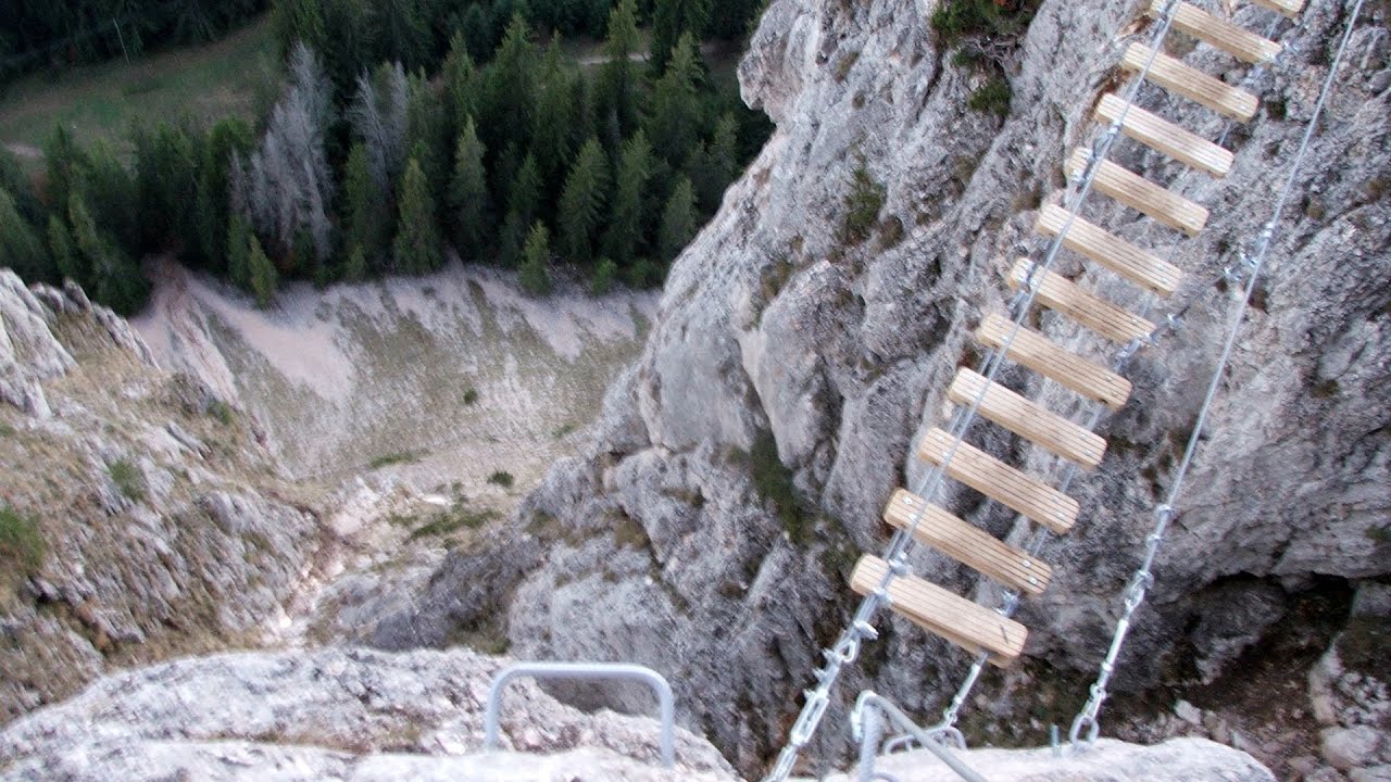
Wild Ferenc iron path - Suhardul Mic 18.73 km away
While I climbed the new iron path mostly in the dark for the first time, this time I managed to explore it during the day. But I still missed the sunset by a few minutes.
Other places
Billy-goat lake, Closed Gates Retezat Mountains 270.85 km away
The most unique ridge trail of the Retezat Mountains is the Closed Gates.Below, at an altitude of 2070 m above sea level, is the Billy-goat lake.
The most unique ridge trail of the Retezat Mountains is the Closed Gates.Below, at an altitude of 2070 m above sea level, is the Billy-goat lake.
The Gorges of the Méouge Ribiers, Upper Alps 1586.52 km away
Following today's climb, I experienced the soothing pleasure of immersing myself in the turquoise waters of the Méouge creek, in the pond beneath a waterfall. If you find yourself in Sisteron or Grenoble, do not miss the opportunity to explore the magnificent Méouge valley near Ribiers.
Following today's climb, I experienced the soothing pleasure of immersing myself in the turquoise waters of the Méouge creek, in the pond beneath a waterfall. If you find yourself in Sisteron or Grenoble, do not miss the opportunity to explore the magnificent Méouge valley near Ribiers.
Middle Belt (Spirala Medie) via ferrata route Baia de Fier 232.77 km away
In May 2018, two new via ferrata routes were inaugurated in Baia de Fier. Both start from section G of the rock face hiding the Women's Cave (Pestera Muierilor), and their initial stages are shared.
In May 2018, two new via ferrata routes were inaugurated in Baia de Fier. Both start from section G of the rock face hiding the Women's Cave (Pestera Muierilor), and their initial stages are shared.
Blasted Rock (Piatra Puscata) hanging path Cerna Valley 316.95 km away
The Blasted Rock hanging path is located on the geographical right bank of the Cerna River, near the confluence of the Iuta stream, approximately 20 km from Baile Herculane. In this area, the presence of limestone formations has caused the valley to become narrower.
The Blasted Rock hanging path is located on the geographical right bank of the Cerna River, near the confluence of the Iuta stream, approximately 20 km from Baile Herculane. In this area, the presence of limestone formations has caused the valley to become narrower.
Dyavolski Most (Devil's Bridge) Ardino 562.96 km away
The Devil's Bridge (Dyavolski Most, in Turkish Sheytan Kyupriya) is located in the gorge of the Arda River, just north of the town of Ardino in Bulgaria. It was constructed in the early 16th century, between 1515 and 1518, by an architect named Dimitar, on the remains of an earlier Roman bridge.
The Devil's Bridge (Dyavolski Most, in Turkish Sheytan Kyupriya) is located in the gorge of the Arda River, just north of the town of Ardino in Bulgaria. It was constructed in the early 16th century, between 1515 and 1518, by an architect named Dimitar, on the remains of an earlier Roman bridge.
[ Top ↑ ]
[ Top ↑ ]
Copyright © 2003-2025 Trekkingklub and friends. Reproduction of any text, picture or video from this website, either in printed or electronic form, is prohibited without prior written permission. Nearby settlements: Poiana Fagului 3.45 km away, Tourist attractions near Balan 7.91 km away. The given distances are to be understood as straight line distances, and are approximate. Website made in Miercurea Ciuc  .
.
 .
.


