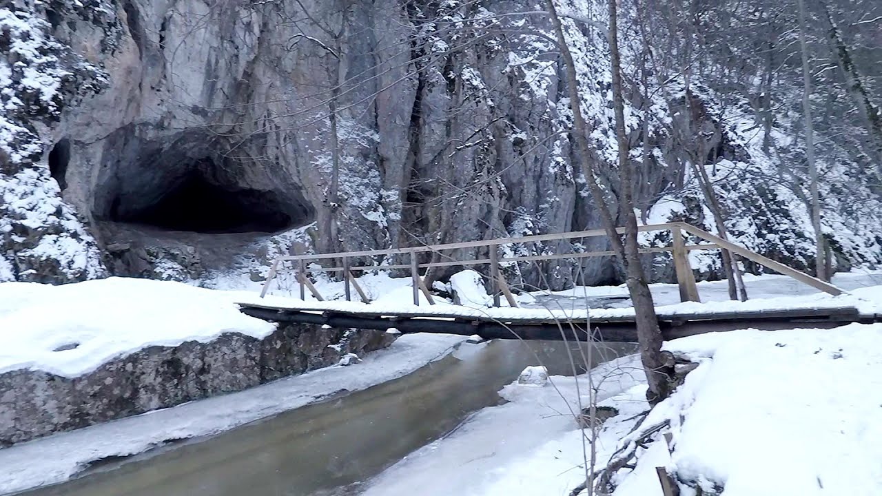
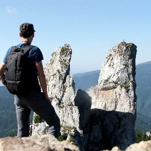
Chirui Bath (Baile Chirui) - photos
Copyright © 2004 - 2025 Trekkingklub.com.
Already published 8162 photos and 136 videos. Please register for full access.
Photos of nearby places
[ Top ↑ ]
Videos of nearby places

Varghis gorges in winter 9.96 km away
I went out to admire the ice stalagmites (standing icicles) in the Varghis Gorge. Anyone arriving here at the end of winter can observe meter-high ice stalagmites in the entrance area of Meresti Cave (now known as Orban Balazs Cave).

Nobody's lake - Miercurea Ciuc 14.53 km away
The passage of time (time lapse), dusk at Nobody's Lake. Miercurea Ciuc and the Sumuleu mountain can be seen in the background.

Iron path in winter - Harghita Madaras 17.15 km away
This is already the sixth time I've climbed the via ferrata route set up on the rocky cliffs of Seii Peak near Harghita Madaras. Although the forecast suggests that the weather should be nice, I am greeted by a sky covered in clouds.

Iron path - Harghita-Madaras 17.16 km away
Amateur filming in Harghita-Madaras, holding the camera by hand in the car, and helmet-mounted on the via ferrata. I climbed an iron path for the first time in my life on the Nyerges cliffs (Stancile Seii), I didn't have the right equipment yet.
Other places
Loreley and Pink Panther iron path Baia de Fier 188.11 km away
The Loreley via ferrata (graded B/C, with an elevation difference of approximately 100 m and a length of about 100 m) is located on the rock wall on the opposite side of the road. A branch from its upper section leads to the Pink Panther (Pantera Roz, graded A/B/C, approximately 200 meters long, with an elevation difference of about 50 meters).
The Loreley via ferrata (graded B/C, with an elevation difference of approximately 100 m and a length of about 100 m) is located on the rock wall on the opposite side of the road. A branch from its upper section leads to the Pink Panther (Pantera Roz, graded A/B/C, approximately 200 meters long, with an elevation difference of about 50 meters).
Kaiser Franz-Josef Klettersteig Leopoldsteiner See 826.47 km away
The Franz-Josef Klettersteig is located on the Seemauer cliff face, which rises 900 meters above Leopoldsteiner Lake, in the western part of the Hochschwab mountain range, just 4 km from the town of Eisenerz. This via ferrata is named after the Kaisersteig, a hunting trail established for the esteemed Emperor Franz Joseph I of Austria and Hungary at the end of the 19th century, traces of which can still be observed today.
The Franz-Josef Klettersteig is located on the Seemauer cliff face, which rises 900 meters above Leopoldsteiner Lake, in the western part of the Hochschwab mountain range, just 4 km from the town of Eisenerz. This via ferrata is named after the Kaisersteig, a hunting trail established for the esteemed Emperor Franz Joseph I of Austria and Hungary at the end of the 19th century, traces of which can still be observed today.
Echernwand via ferrata, World Heritage View Hallstatt, Salzberg, Dachstein Mountains 916.66 km away
I climbed the via ferrata on the Echernwand rock wall at dusk. This route is located above one of Austria's most beautiful lakes, and above Hallstatt.
I climbed the via ferrata on the Echernwand rock wall at dusk. This route is located above one of Austria's most beautiful lakes, and above Hallstatt.
Varghis gorges in winter 9.96 km away
I went out to admire the ice stalagmites (standing icicles) in the Varghis Gorge. Anyone arriving here at the end of winter can observe meter-high ice stalagmites in the entrance area of Meresti Cave (now known as Orban Balazs Cave).
I went out to admire the ice stalagmites (standing icicles) in the Varghis Gorge. Anyone arriving here at the end of winter can observe meter-high ice stalagmites in the entrance area of Meresti Cave (now known as Orban Balazs Cave).
The Cave of Thieves (Pestera Hotilor, Tolvajos) Apata 35.78 km away
The Cave of Thieves, located in the Olt Gorge at Racos, is situated at the source of the Tepeu creek. From the karst spring that emerges from the cave, one of the branches of the creek originates.
The Cave of Thieves, located in the Olt Gorge at Racos, is situated at the source of the Tepeu creek. From the karst spring that emerges from the cave, one of the branches of the creek originates.
[ Top ↑ ]
[ Top ↑ ]
Copyright © 2003-2025 Trekkingklub and friends. Reproduction of any text, picture or video from this website, either in printed or electronic form, is prohibited without prior written permission. Nearby settlements: Baile Chirui 0.31 km away, Tourist attractions Vlahita 6.39 km away. The given distances are to be understood as straight line distances, and are approximate. Website made in Miercurea Ciuc  .
.
 .
.


