Salt Mountain Praid - photos
28th August 2012. Copyright © 2012 - 2025 Trekkingklub.com.
Already published 8151 photos and 109 videos. Please register for full access.
Photos of nearby places

The Rock with a Hole - Corund (5th November 2007 - 6 photos) 12.38 km away
The Likas Stone (The Rock with a Hole) is located near Korond (Corund), on a meadow next to the road and four graves. In the middle of the conglomerate rock block, there is a perfectly drilled, heart-shaped hole.
[ Top ↑ ]
Videos of nearby places

Hot air balloon parade 2015 - Campu Cetatii 16.57 km away
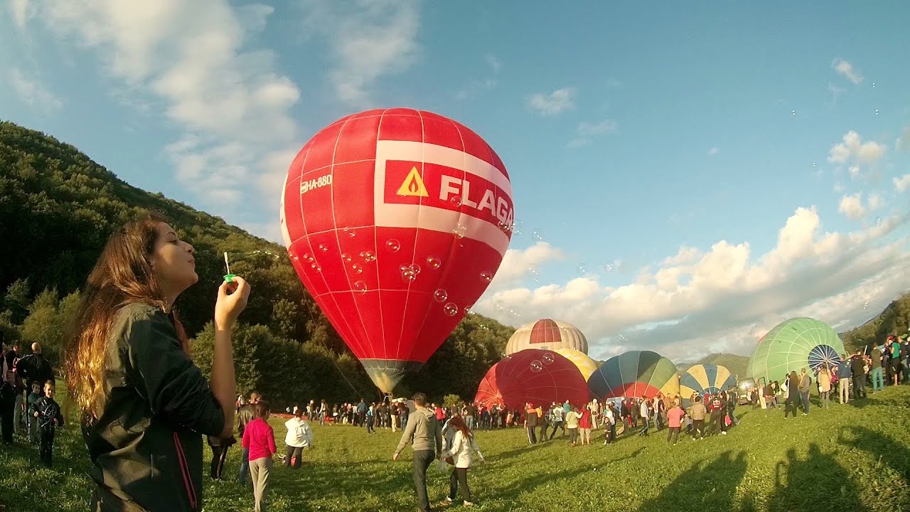
This year, the Hot Air Balloon Parade was organized in Campu Cetatii for the tenth time. Unfortunately, the weather only allowed for flying on Saturday morning and evening.

The Heart of Jesus look-out - Lupeni 19.56 km away
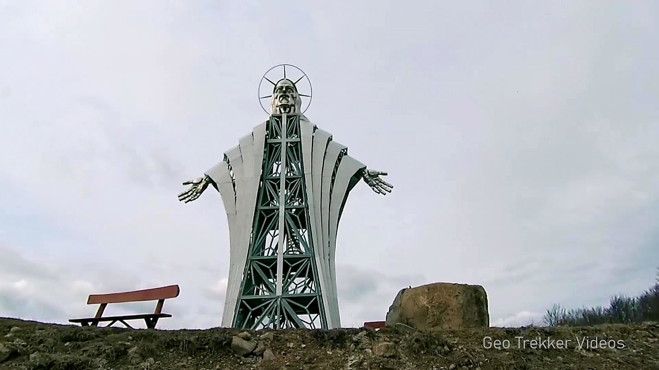
Through the mud on Gordon Mountain, above Farkaslaka (Lupeni commune, Harghita county, Transilvania), on a cloudy afternoon, at the end of February. The destination is the Heart of Jesus lookout, nicknamed as Pléhkrisztus (The Tin Christ).

Iron path - Harghita-Madaras 35.43 km away
Amateur filming in Harghita-Madaras, holding the camera by hand in the car, and helmet-mounted on the via ferrata. I climbed an iron path for the first time in my life on the Nyerges cliffs (Stancile Seii), I didn't have the right equipment yet.

Iron path in winter - Harghita Madaras 35.46 km away
This is already the sixth time I've climbed the via ferrata route set up on the rocky cliffs of Seii Peak near Harghita Madaras. Although the forecast suggests that the weather should be nice, I am greeted by a sky covered in clouds.

Pricske peak - Giurgeu Mountains 47.08 km away
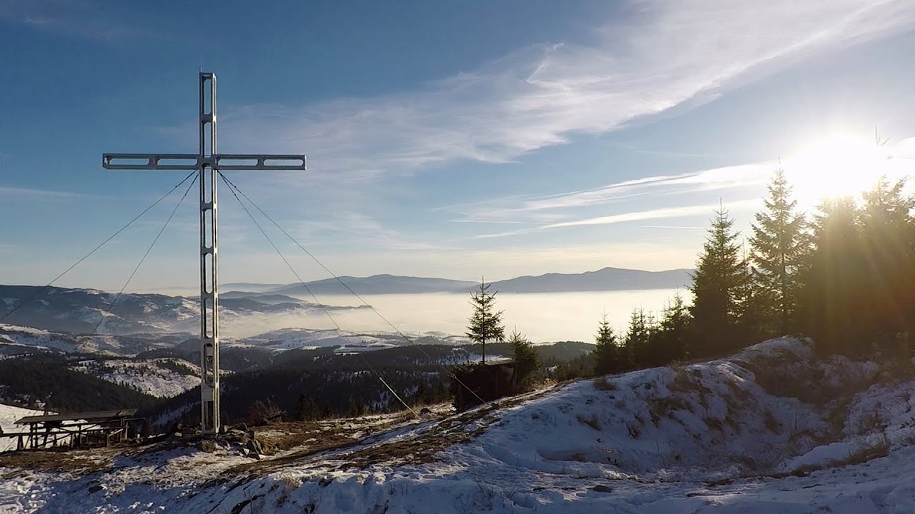
If we want to reach Pricske (Prisca) peak, which rises above Gheorgheni and Lazarea, we start from the valley of the Güdüc (Ghidut) stream. Our path leads us past the ruins of a building known as the White House.
Other videos
Echernwand Klettersteig Hallstatt, Austria 875.9 km away
I climbed the via ferrata on the Echernwand rock wall at dusk. This route is located above one of Austria's most beautiful lakes, and above Hallstatt.
I climbed the via ferrata on the Echernwand rock wall at dusk. This route is located above one of Austria's most beautiful lakes, and above Hallstatt.
Billy-goat lake, Closed Gates Retezat Mountains 213.43 km away
The most unique ridge trail of the Retezat Mountains is the Closed Gates.Below, at an altitude of 2070 m above sea level, is the Billy-goat lake.
The most unique ridge trail of the Retezat Mountains is the Closed Gates.Below, at an altitude of 2070 m above sea level, is the Billy-goat lake.
Loreley and Pink Panther iron path Baia de Fier 183.23 km away
The Loreley via ferrata (graded B/C, with an elevation difference of approximately 100 m and a length of about 100 m) is located on the rock wall on the opposite side of the road. A branch from its upper section leads to the Pink Panther (Pantera Roz, graded A/B/C, approximately 200 meters long, with an elevation difference of about 50 meters).
The Loreley via ferrata (graded B/C, with an elevation difference of approximately 100 m and a length of about 100 m) is located on the rock wall on the opposite side of the road. A branch from its upper section leads to the Pink Panther (Pantera Roz, graded A/B/C, approximately 200 meters long, with an elevation difference of about 50 meters).
Byala Reka eco-trail Kalofer 431.96 km away
The Byala Reka eco-trail is situated at the foot of the Stara Planina mountain range, 8 km from the town of Kalofer. A 1,830-meter-long hiking trail has been established along the White Creek within the Central Balkan National Park.
The Byala Reka eco-trail is situated at the foot of the Stara Planina mountain range, 8 km from the town of Kalofer. A 1,830-meter-long hiking trail has been established along the White Creek within the Central Balkan National Park.
Sky Walk, Suspension Bridge, Stairway to Nothingness Dachstein 876.73 km away
The Dachstein cable car took me up to a height of 2700 meters, to the highest mountain in Styria, the Dachstein. A fabulous natural environment unfolded before me, with panoramic views of the Austrian peaks.
The Dachstein cable car took me up to a height of 2700 meters, to the highest mountain in Styria, the Dachstein. A fabulous natural environment unfolded before me, with panoramic views of the Austrian peaks.
[ Top ↑ ]
[ Top ↑ ]
Copyright © 2003-2025 Trekkingklub and friends. Reproduction of any text, picture or video from this website, either in printed or electronic form, is prohibited without prior written permission. Nearby settlements: Praid 1.4 km away, Tourist attractions Praid 1.4 km away. The given distances are to be understood as straight line distances, and are approximate. Website made with love  in Miercurea Ciuc.
 in Miercurea Ciuc.


