Dry Valley (Paraului Sec) canyon - Hasmas Mountains - photos
Copyright © 2007 - 2025 Trekkingklub.com.
Already published 8162 photos and 136 videos. Please register for full access.
Photos of nearby places

White Glade (Poiana Alba), Horseshoe Rock (Piatra Potcoavei) - Hasmas Mountains (17 photos) 1.6 km away

Lazar peak - Hasmas Mountains (18 photos) 1.98 km away
The pit under the Lazar peak 2004-09-02, 2014-11-27.
[ Top ↑ ]
Videos of nearby places
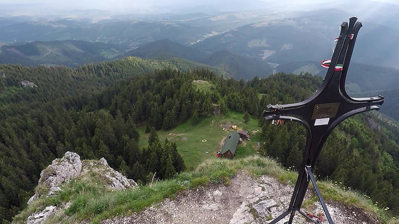
Lonely Stone (Piatra Singuratica) - Hasmas Mountains 5.38 km away
On June 1, 2003, with a small group of friends, I left Balan, walking along the valley of the Sep (Beautiful) stream towards the Lonely Stone (Piatra Singuratica). Those who were with me at the time fell behind, and then other people joined for the hike.
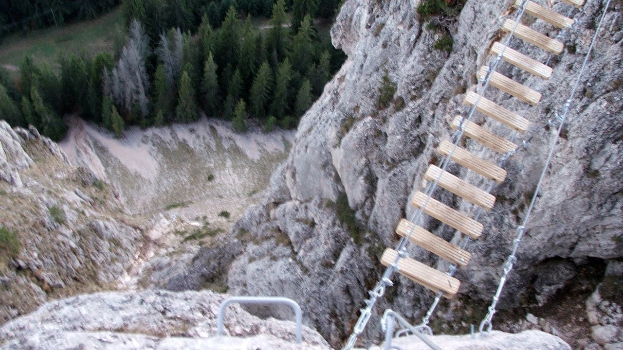
Wild Ferenc iron path - Suhardul Mic 7.58 km away
While I climbed the new iron path mostly in the dark for the first time, this time I managed to explore it during the day. But I still missed the sunset by a few minutes.
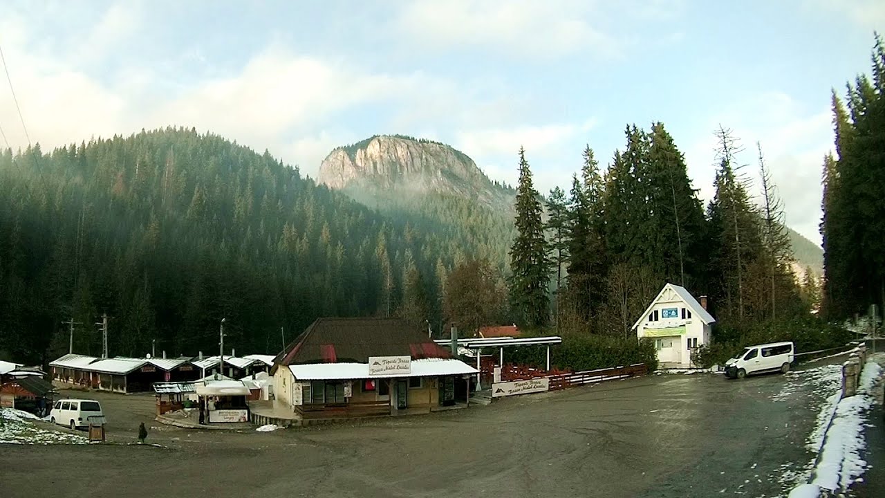
Wild Ferenc memorial path - Suhardul Mic 7.6 km away
In recent days, this news has been everywhere: the via ferrata route built on the southwest wall of Suhardul Mic (Little Suhard) has finally been completed and inaugurated. The new route has been named after Ferenc Wild, in memory of the former mountain rescuer, sports writer, and one of the founders of the mountain rescue association in Gheorgheni.
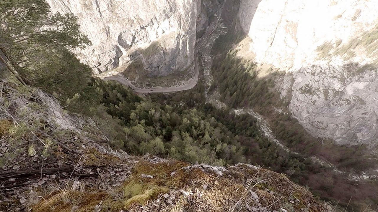
Poienii Rock, north-eastern lookout point - Bicaz Gorges 8.58 km away
From the viewpoint at the top of the northeastern wall of Poienii Rock in the Bicaz Gorges, we can look down 300 meters to the mouth of the Bicajel stream. The Bridge of the Hungarians is hidden among pine trees.
Waterfalls of Lapos creek - Bicaz Gorges 8.85 km away
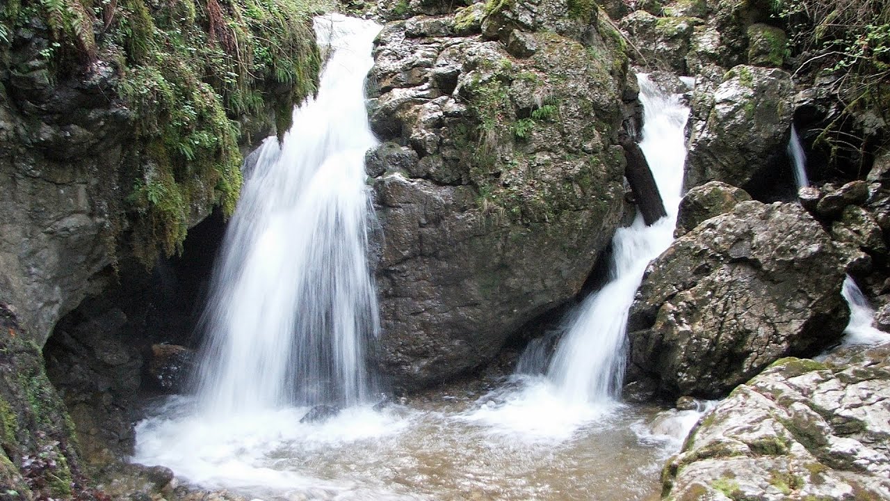
One of the lesser-known attractions of the Bicaz Gorges is the series of waterfalls along Lapos Creek. This creek flows between Cupas Stone and Bardos Stone before eventually merging with Bicaz Creek, forming spectacular waterfalls beneath the Altar Stone.
Other places
Iskar gorge (Lyutibrod) Temnata dupka cave (Lakatnik) 448.04 km away
The Iskar is the longest purely Bulgarian river, the oldest river in the Balkans, and a right tributary of the Danube. The river is 368 km long, with approximately 150 km consisting of a gorge.
The Iskar is the longest purely Bulgarian river, the oldest river in the Balkans, and a right tributary of the Danube. The river is 368 km long, with approximately 150 km consisting of a gorge.
Rhein Gorge Flims, Switzerland 1254.06 km away
The Rhine River (in German, Rhein) originates in the Swiss canton of Graubünden at the Oberalppass and flows into the North Sea at Rotterdam in the Netherlands after traveling 1,324 km. The Rhine Gorge, also known as the Swiss Grand Canyon (in Romansh, Ruinaulta), winds for 14 km between 350 m high white walls.
The Rhine River (in German, Rhein) originates in the Swiss canton of Graubünden at the Oberalppass and flows into the North Sea at Rotterdam in the Netherlands after traveling 1,324 km. The Rhine Gorge, also known as the Swiss Grand Canyon (in Romansh, Ruinaulta), winds for 14 km between 350 m high white walls.
Seven Ladder Canyon and Waterfall Piatra Mare Mountain 130.28 km away
The Seven Ladder Gorge is the largest and most spectacular gorge in the Piatra Mare massif. The narrow canyon has a length of 160 meters, and over a drop of 58 meters includes 7 bigger and several smaller waterfalls.
The Seven Ladder Gorge is the largest and most spectacular gorge in the Piatra Mare massif. The narrow canyon has a length of 160 meters, and over a drop of 58 meters includes 7 bigger and several smaller waterfalls.
The Gorges of the Méouge Ribiers, Upper Alps 1579.65 km away
Following today's climb, I experienced the soothing pleasure of immersing myself in the turquoise waters of the Méouge creek, in the pond beneath a waterfall. If you find yourself in Sisteron or Grenoble, do not miss the opportunity to explore the magnificent Méouge valley near Ribiers.
Following today's climb, I experienced the soothing pleasure of immersing myself in the turquoise waters of the Méouge creek, in the pond beneath a waterfall. If you find yourself in Sisteron or Grenoble, do not miss the opportunity to explore the magnificent Méouge valley near Ribiers.
Ski Gyimes ski slope Lunca de Sus 25.82 km away
The Ski Gyimes ski slope is located in Lunca de Sus, right next to the main road. It is 800 m long, the level difference is 160 m.
The Ski Gyimes ski slope is located in Lunca de Sus, right next to the main road. It is 800 m long, the level difference is 160 m.
[ Top ↑ ]
[ Top ↑ ]
Copyright © 2003-2025 Trekkingklub and friends. Reproduction of any text, picture or video from this website, either in printed or electronic form, is prohibited without prior written permission. Nearby settlements: Trei Fantani 3.05 km away, Tourist attractions Balan 8.58 km away. The given distances are to be understood as straight line distances, and are approximate. Website made in Miercurea Ciuc  .
.
 .
.


