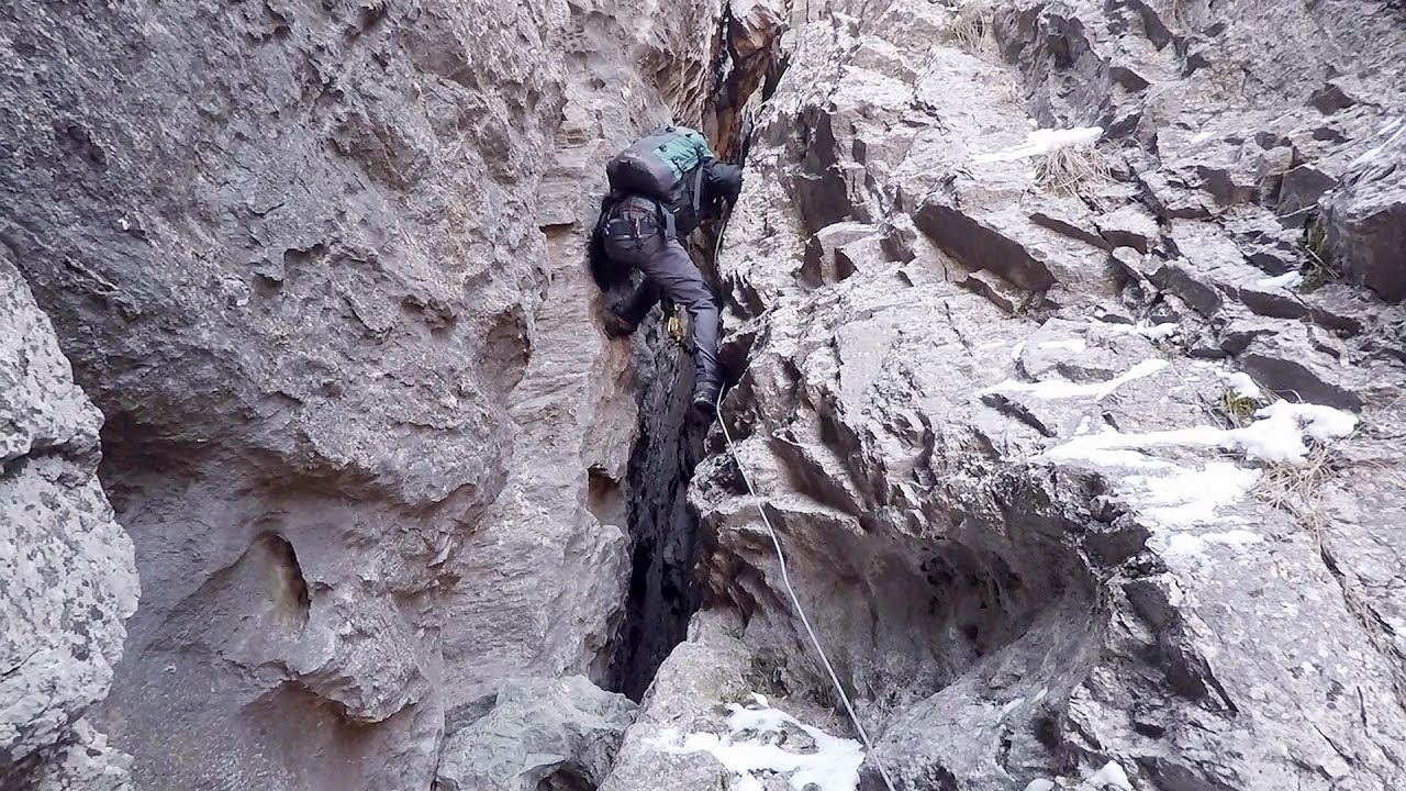
Women's Cave (Pestera Muierii) - Parang Mountains - photos
The Cave of Women (Pestera Muierii, Pestera Muierilor) is located at the southern foot of the Parang Mountains, in the area of Baia de Fier in Gorj County. There are several climbing routes established on the rocks above the cave and on the other side of the road. Since 2011, a few via ferrata routes have also been constructed here. These are relatively less known among the via ferrata climbers in Transylvania.
Copyright © 2003 - 2025 Trekkingklub.com.
Already published 8162 photos and 136 videos. Please register for full access.
Photos of nearby places

Parangul Mare peak (16 photos) 23.5 km away
Chamois saddle (Saua Caprelor), Carja mountain shelter (Refugiul Carja) - Carja peak (Varful Carja) - Stoienita peak (Varful Stoienita) - Gemanarea - Parangul Mare peak.

Doabra Snail Shells - Brezoi (12 photos) 42.32 km away
Doabra Valley - Calinesti-Brezoi forest - Lotru Valley, Cozia National Park

Bolii Cave - Banita (20 photos) 44.73 km away
The main cave passage is approximately 460 m long, with an entrance portal that is 10 m high and 20 m wide at its base. In the 1960s, bridges were built over the underground stream flowing through the cave.
[ Top ↑ ]
Videos of nearby places
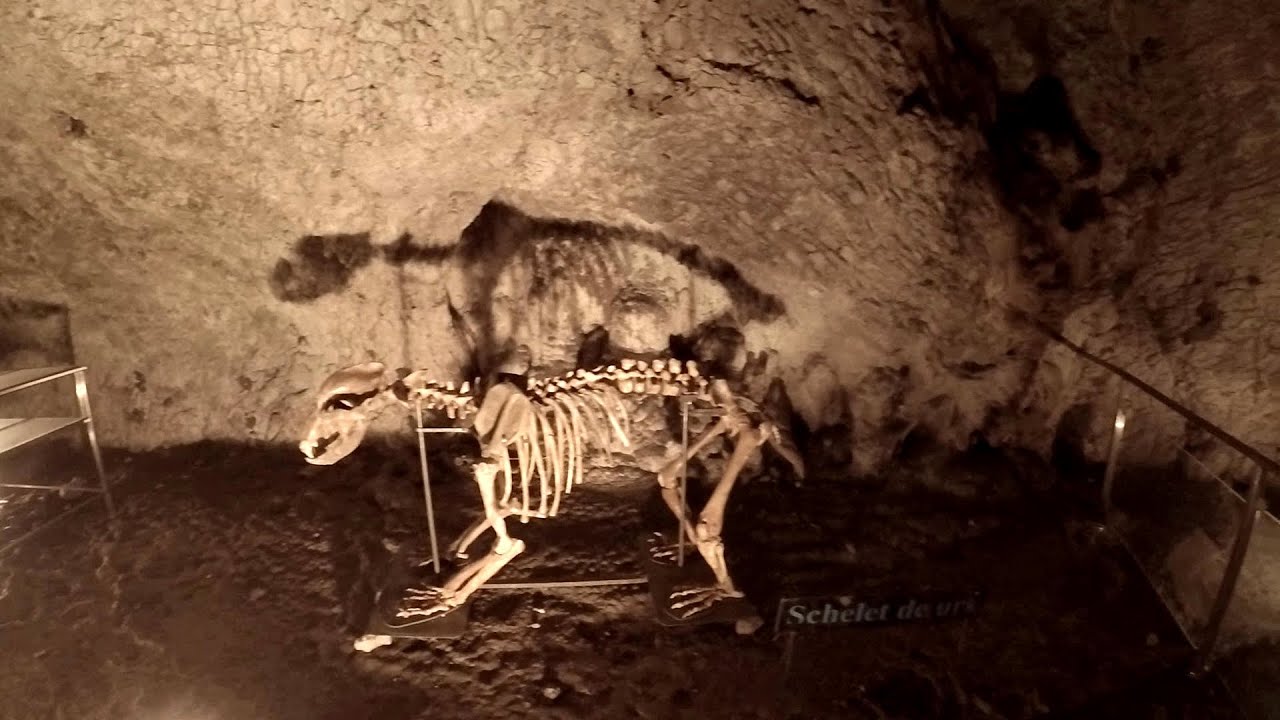
Muierii Cave (Pestera Muierilor) - Baia de Fier 0 km away
We visited the Baia de Fier area, and climbed on the rock that also conceals the Women's Cave (Pestera Muierilor). Between two via ferrata routes, we also participated in one of the guided cave tours, which depart every hour.
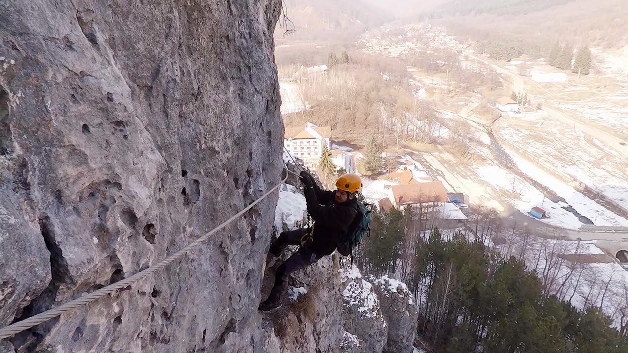
Womens Spiral, Cave Ridge, and The Great Crack iron paths - Baia de Fier 0.03 km away
Perhaps the most interesting via ferrata among the routes in the Baia de Fier area is the Womens Spiral. After completing it, I can say that it is the second most thrilling via ferrata in Romania, following the Big Via Ferrata at Rasnov.
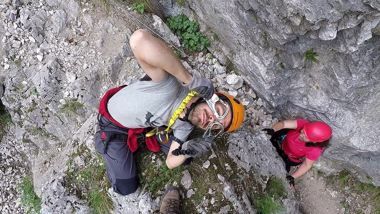
Women's Spiral (Spirala Muierilor) via ferrata, climbing fun - Baia de Fier 0.06 km away
The Women's Spiral (Spirala Muierilor) via ferrata is set up on the rock that conceals the Women's Cave (Pestera Muierii). It is one of the seven routes near Baia de Fier as of now (2018).
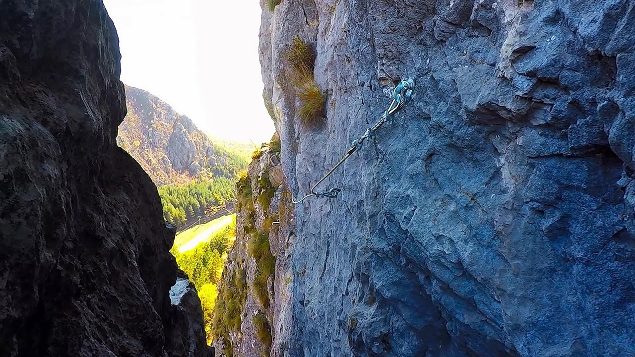
Middle Belt (Spirala Medie) via ferrata route - Baia de Fier 0.12 km away
In May 2018, two new via ferrata routes were inaugurated in Baia de Fier. Both start from section G of the rock face hiding the Women's Cave (Pestera Muierilor), and their initial stages are shared.
Other places
Foamy valley waterfall (Cascada Valea Spumoasa) Bucegi Mountains 139.47 km away
Access to the Foamy valley waterfall (Cascada Valea Spumoasa) is made from the town of Busteni. The starting point is the lower station of the cable car that ascends to the Babele cabin.
Access to the Foamy valley waterfall (Cascada Valea Spumoasa) is made from the town of Busteni. The starting point is the lower station of the cable car that ascends to the Babele cabin.
Billy-goat lake, Closed Gates Retezat Mountains 68.05 km away
The most unique ridge trail of the Retezat Mountains is the Closed Gates.Below, at an altitude of 2070 m above sea level, is the Billy-goat lake.
The most unique ridge trail of the Retezat Mountains is the Closed Gates.Below, at an altitude of 2070 m above sea level, is the Billy-goat lake.
Walking to the top of Sumuleul Mare Sumuleu Ciuc 208.2 km away
This was my first attempt at shooting a video.
This was my first attempt at shooting a video.
Grande Fistoire iron path Le Caire, Alpes-de-Haute-Provence 1395.66 km away
Because I lost the footage I made the first time (don't buy SD cards from Alibaba!), at the end of June I visited this great and exciting via ferrata again.
Because I lost the footage I made the first time (don't buy SD cards from Alibaba!), at the end of June I visited this great and exciting via ferrata again.
Vulva cave Rhodope Mountains 406.07 km away
The Vulva Cave (Peshtera Utroba) is situated near the village of Nenkovo and the city of Kardzhali, in the Rhodope Mountains of Bulgaria. It derives its name from the shape of its entrance, which resembles a vulva.
The Vulva Cave (Peshtera Utroba) is situated near the village of Nenkovo and the city of Kardzhali, in the Rhodope Mountains of Bulgaria. It derives its name from the shape of its entrance, which resembles a vulva.
[ Top ↑ ]
[ Top ↑ ]
Copyright © 2003-2025 Trekkingklub and friends. Reproduction of any text, picture or video from this website, either in printed or electronic form, is prohibited without prior written permission. Nearby settlements: Baia de Fier 2.43 km away, Tourist attractions near Baia de Fier 2.43 km away. The given distances are to be understood as straight line distances, and are approximate. Website made in Miercurea Ciuc  .
.
 .
.


