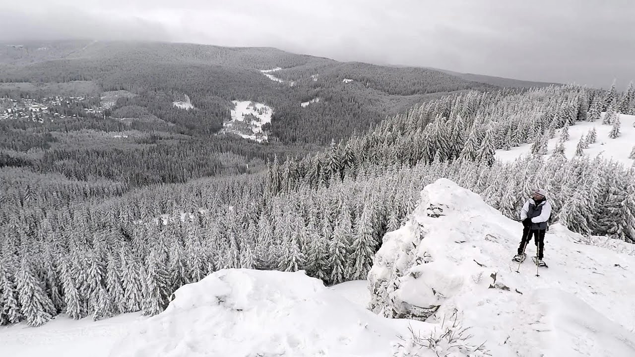
Cavities in Tipia of Ormenis - Persani Mountains (Muntii Persani) | Photos
Page no. 1, photos: 1-10, 24 photos in total. >>>
Copyright © 2014 - 2025 Trekkingklub.com.
Already published 8983 photos and 180 videos. Please register for full and ad-free access.
Photos of nearby places

Thieves' Cave - Persani Mountains (20 photos) 3.14 km away
The Thieves' Cave at Apata is located in the valley of the Tepeu creek, renowned for its outcrop of red clayey limestone, which is very rich in ammonites. A tributary of the stream is formed by the waters of a spring fed by the watercourse coming from the cave's gallery.
[ Top ↑ ]
Videos of nearby places
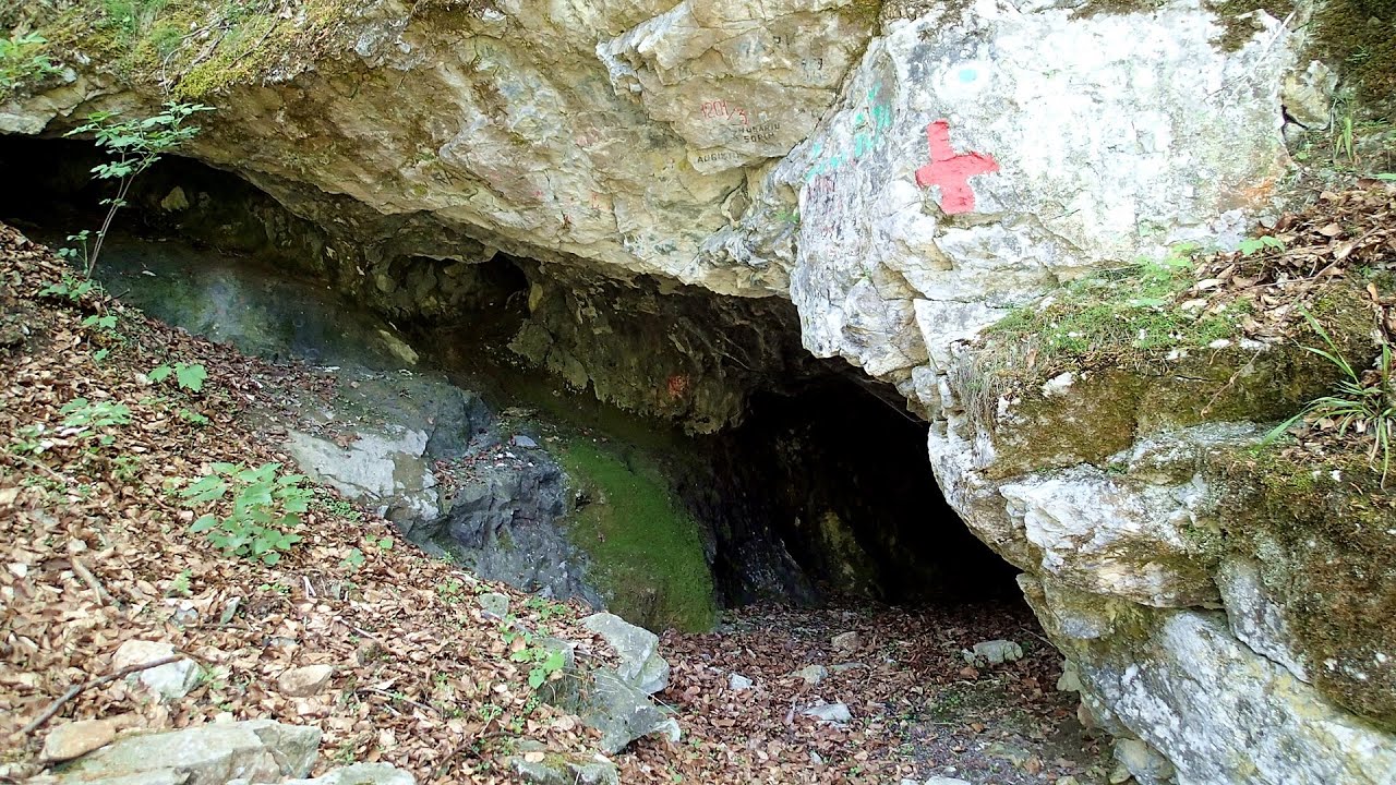
The Cave of Thieves (Pestera Hotilor, Tolvajos) - Apata 3.14 km away
The Cave of Thieves, located in the Olt Gorge at Racos, is situated at the source of the Tepeu creek. From the karst spring that emerges from the cave, one of the branches of the creek originates.
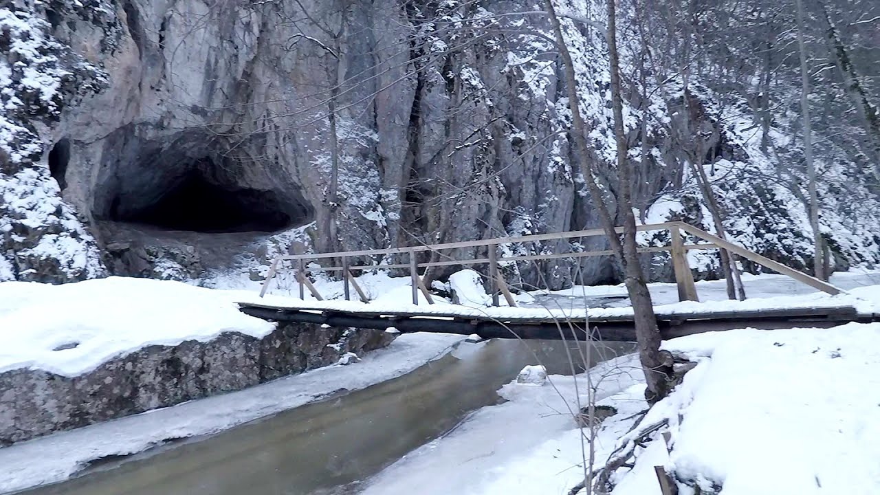
Varghis gorges in winter 22.82 km away
I went out to admire the ice stalagmites (standing icicles) in the Varghis Gorge. Anyone arriving here at the end of winter can observe meter-high ice stalagmites in the entrance area of Meresti Cave (now known as Orban Balazs Cave).
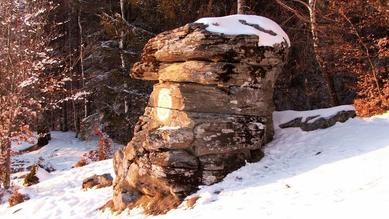
Preacher's Rock - Bodoc Mountains 32.6 km away
In the Bodoc Mountains, west-southwest from the Henter peak, we find a rock formation shaped like a mushroom by erosion, called Preacher's Rock. This 2-meter high rock probably got its name from the pagan Hungarian priests, who preached here in the past.
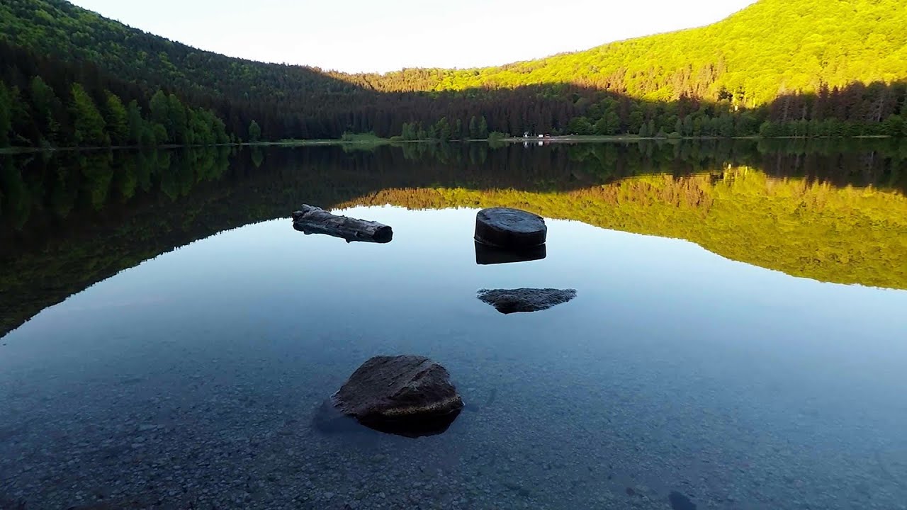
Saint Anne lake - Ciomat-Puturosu 34.22 km away
Lake Saint Anna is the only well-preserved volcanic crater lake in Eastern Europe. Here are some images from an afternoon outing.
Other places
Mill of the Devils (Moara Dracilor) Tasna Gorge (Cheile Tasnei) 258.74 km away
The Tasna Gorges are located in the Mehedinti Mountains, approximately 15 km from the resort of Baile Herculane. The gorges are part of the Domogled - Cerna Valley (Valea Cernei) National Park.
The Tasna Gorges are located in the Mehedinti Mountains, approximately 15 km from the resort of Baile Herculane. The gorges are part of the Domogled - Cerna Valley (Valea Cernei) National Park.
Roman Baths Geoagiu-Bai, Metaliferi Mountains 178.7 km away
Hot Air Balloon Parade 2018 Campu Cetatii 80.56 km away
This year, the hot air balloons flew low over Campu Cetatii. The weather did not really favor the parade.
This year, the hot air balloons flew low over Campu Cetatii. The weather did not really favor the parade.
The Bear's Jump iron path Baia de Fier 162.18 km away
The Bear's Jump (Saritoarea Ursului) is a fantasy-named via ferrata that opened in May 2018 near Baia de Fier, alongside the Middle Belt (Spirala Medie). Both routes begin from the G zone of the rock face that conceals the Women's Cave (Pestera Muierilor).
The Bear's Jump (Saritoarea Ursului) is a fantasy-named via ferrata that opened in May 2018 near Baia de Fier, alongside the Middle Belt (Spirala Medie). Both routes begin from the G zone of the rock face that conceals the Women's Cave (Pestera Muierilor).
Via Ferrata Pink Panther Baia de Fier 161.91 km away
In the area of Baia de Fier in Gorj County, several via ferrata routes have been set up on the rock above the Women's Cave (Muierii Cave) and on the other side of the road. At that time (2018), there were a total of seven.
In the area of Baia de Fier in Gorj County, several via ferrata routes have been set up on the rock above the Women's Cave (Muierii Cave) and on the other side of the road. At that time (2018), there were a total of seven.
[ Top ↑ ]
[ Top ↑ ]
Select language: - Magyar - Romana - Deutsch - Français - Italiano - Español - Copyright © 2003-2025 Trekkingklub and friends. Reproduction of any text, picture or video from this website, either in printed or electronic form, is prohibited without prior written permission. The given distances are to be understood as straight line distances, and are approximate. Website made in Miercurea Ciuc
 .
.


