Tourist attractions near Arieseni (Arieseni, Alba county, Romania)
Photos of nearby places


Valley of Hell - Padurea Craiului Mountains (23 photos) 40.1 km away. Valley of Hell (Valea Iadului) - Padurea Craiului Mountains.

Kings Cave - Padurea Craiului Mountains (48 photos) 45.1 km away. Craiului (Kings) Cave - Padurea Craiului Mountains.

Fern Cave - Padurea Craiului Mountains (9 photos) 45.5 km away. Ferigi (Fern) Cave - Padurea Craiului Mountains.

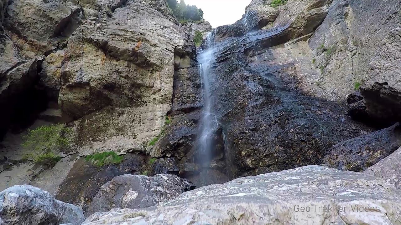
Oxen Waterfall - Padurea Craiului Mountains (12 photos) 48.7 km away. Oxen Waterfall (Cascada Boilor) - Padurea Craiului Mountains.

Sohodol pit cave - Padurea Craiului Mountains (10 photos) 49.3 km away. Sohodol pit cave (Avenul Sohodol) - Padurea Craiului Mountains.

Moanei Cave - Padurea Craiului Mountains (58 photos) 50.1 km away. The Moanei Cave (Pestera Moanei) is located on the upper course of the Misid River, on the right side of the Misid Gorge (Cheilor Misidului). The cave has two entrances, one fossil and sloped, while a subterranean stream flows through the active gallery.

Napistileu cave - Padurea Craiului (10 photos) 53.3 km away. Napistileu (Ungurul Mic) cave - Padurea Craiului Mountains.

The cave from the spring - Padurea Craiului Mountains (8 photos) 53.3 km away. Pestera de la Izvor (The cave from the spring) - Padurea Craiului Mountains.


Cave of Winds - Padurea Craiului Mountains (24 photos) 53.9 km away. The Cave of Winds (Pestera Vantului) is located in the Padurea Craiului Mountains, not far from Frantura meadow, near Suncuius, on the left geographical side of the Crisul Repede River. The Cave of Winds was discovered in 1957 by Béla Bagaméri and is currently (as of 2003) the longest cave system known in Romania as well as in the Carpathian Basin.

Balcony Clearing - Trascau Mountains (6 photos) 55.1 km away. Balcony Clearing (Erkély-tisztás, Balconul Sipotelor) - Trascau Mountains.

Dark Blue Bruises of the Ponor, Bedeleu (24 photos) 55.2 km away. Dark Blue Bruises of the Ponor (Vanatarile Ponorului), Bedeleu - Trascau Mountains.

Dark Blue Bruises of the Ponor - Trascau Mountains (16 photos) 55.2 km away. The Dark Blue Bruises of the Ponor (Vanatarile Ponorului) is a polje-type protected area. Polje is a Slovenian word meaning plain, and it refers to a surface karst form.

Aries valley - Trascau Mountains (10 photos) 55.5 km away. Aries (Golden) valley - Trascau Mountains.

Goats Ledge - Trascau Mountains (10 photos) 57.6 km away. Goats Ledge (Brana Caprei, Kecskék párkánya) - Trascau Mountains .

Stone of Cetea, Horse Pit - Trascau (16 photos) 60.8 km away. Stone of Cetea, Horse Pit (The pit cave from the Stone of Cetea) - Trascau Mountains.
[ Top ↑ ]
Videos of nearby places

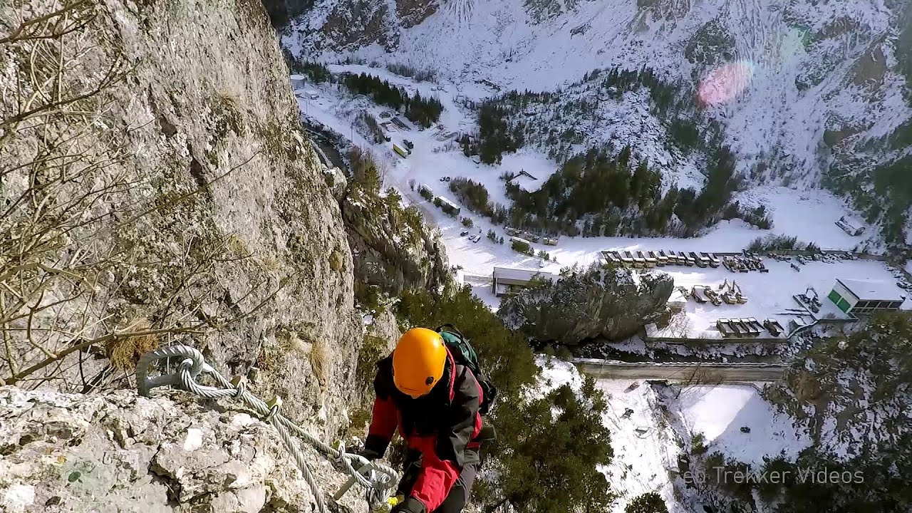
Black Rocks iron path - Bihor Mountains 10.5 km away. Black Rocks is located in the Bihor Mountains, near the Vartop Saddle, to the west of it. It is interesting that the locals (if I understood correctly) do not know this name, but use the name Piatra Buna (meaning Good Stone) for this spectacular rock.

Pisoaia waterfall - Vidra 15.9 km away. Pisoaia waterfall (Pisoaia Vidrii, Urine of the otter) - Nemesi, Vidra.

Meziad cave - Padurea Craiului Mountains 38.2 km away. The Meziad Cave is located near the village of Meziad, 22 km north of Beius, in the Padurea Craiului Mountains. It is one of our first tourist caves, its exploration is associated with the name of Gyula Czárán, cave researcher and writer.

Crystal Cave at Farcu Mine 45.5 km away. In the Padurea Craiului Mountains, near Rosia, in the Farcu bauxite mine, in 1987, the miners accidentally discovered a cave. It was filled with crystal-shaped limestone formations.

Other places
Astragalus iron path in winter Glod Stone, Munticelu 239.4 km away. The official website of the Sugau Gorge published information about a new via ferrata climbing route named Astragalus. Sugau Gorges - Munticelu is a nature conservation area part of Natura 2000 located in Neamt County, which borders Harghita County.

Buzludzha monument Kazanluk 465.4 km away. Buzludzha is a historically significant mountain located in the Central Balkan Mountains of Bulgaria. At its summit, at an altitude of 1432 meters above sea level, there is an abandoned monument.

Seven Ladder Canyon and Waterfall Piatra Mare Mountain 244.9 km away. The Seven Ladder Gorge is the largest and most spectacular gorge in the Piatra Mare massif. The narrow canyon has a length of 160 meters, and over a drop of 58 meters includes 7 bigger and several smaller waterfalls.
Upstream of the Izvorul Dorului creek Vanturis waterfalls 245.5 km away. Upstream of the Izvorul Dorului (Source of longing) creek - Vanturis waterfalls, Bucegi Mountains.

Rudariei watermills Eftimie Murgu 186 km away. I have visited the twenty-two wooden water mills with horizontal wheels, located in the valley of the Rudaria stream, mostly in the rain and under an umbrella. Some of them are still in use today.
Via ferrata Bear Cave adventure and climbing zone Borsec 221 km away. The Bear Cave in Borsec is a vast natural formation, scattered with rocks and deep crevices. Access to the cave's cavities is through a series of narrow formations resembling canyons, surrounded by giant fir trees and rocks with interesting shapes.

Walking to the top of Sumuleul Mare Sumuleu Ciuc 236.8 km away. This was my first attempt at shooting a video.

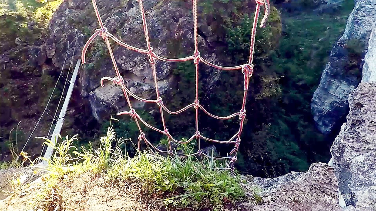
Hias via ferrata Silberkarklamm, Ramsau am Dachstein The Hias via ferrata in the Silberkar Gorge (Silberkarklamm) is the first of the three via ferrata routes, and perhaps the easiest to complete. Two cable bridges and a few trickier sections make it interesting, but it is truly impressive due to the view of the narrow gorge.
[ Top ↑ ]
Copyright © 2003-2026 Trekkingklub and friends. Reproduction of any text, picture or video from this website, either in printed or electronic form, is prohibited without prior written permission. Website made with love  in Miercurea Ciuc.