Tourist attractions near Casa de Piatra (Arieseni, Alba county, Romania)
Photos of nearby places

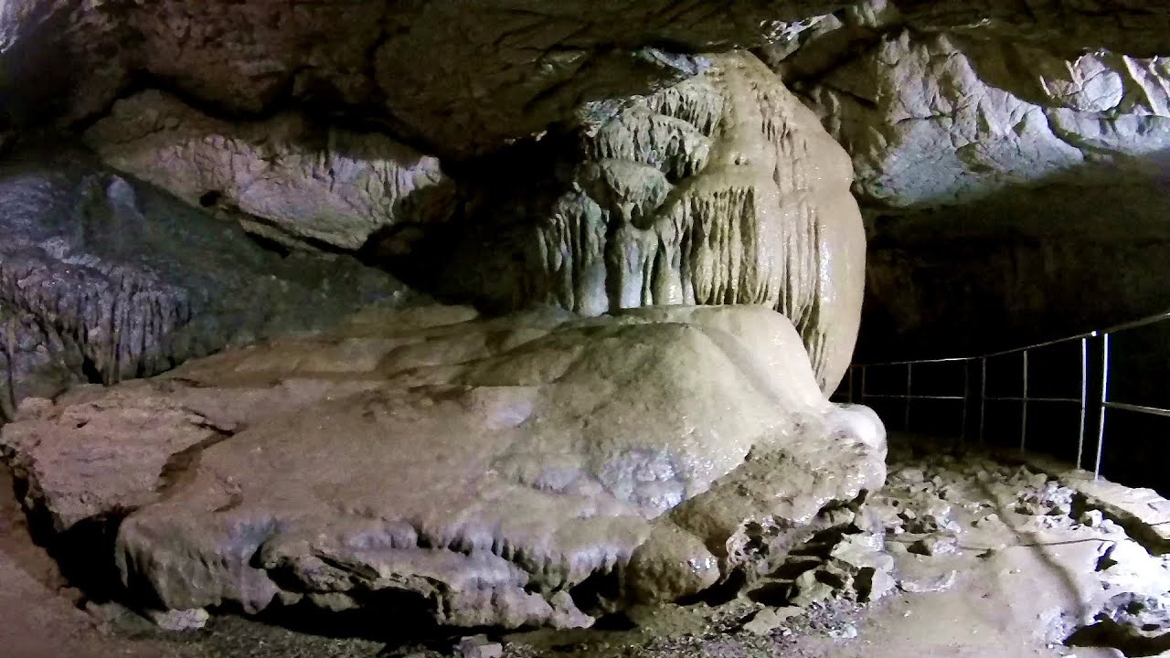
Cetatile Ponorului cave, the active gallery - Bihor-Vladeasa (7th August 2008 - 40 photos) 7.09 km away
[ Top ↑ ]
Videos of nearby places

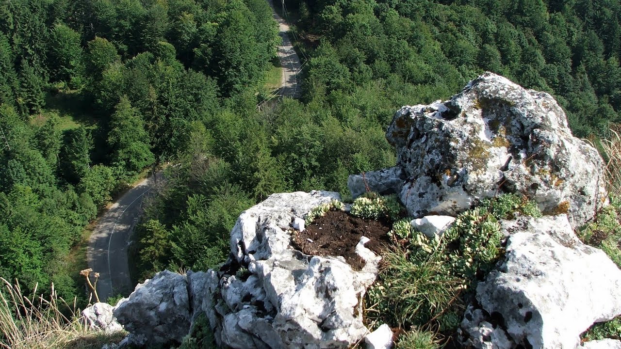
Black Rocks iron path - Bihor Mountains 11.87 km away
Black Rocks is located in the Bihor Mountains, near the Vartop Saddle, to the west of it. It is interesting that the locals (if I understood correctly) do not know this name, but use the name Piatra Buna (meaning Good Stone) for this spectacular rock.

Meziad cave - Padurea Craiului Mountains 34.42 km away
The Meziad Cave is located near the village of Meziad, 22 km north of Beius, in the Padurea Craiului Mountains. It is one of our first tourist caves, its exploration is associated with the name of Gyula Czárán, cave researcher and writer.

Crystal Cave at Farcu Mine 41.72 km away
In the Padurea Craiului Mountains, near Rosia, in the Farcu bauxite mine, in 1987, the miners accidentally discovered a cave. It was filled with crystal-shaped limestone formations.

Hodoaba Valley iron path - Suncuius 47.7 km away
The Hodoaba Valley iron path is Romania's shortest and easiest (official) via ferrata route. It is located near Suncuius, in the Padurea Craiului Mountains, on the left bank of the Crisul Repede River.

Vadu Crisului cave 51.8 km away
The Vadu Crisului Cave, with a total length of over 1000 meters, is located in the picturesque gorge of Crisul Repede creek. It consists of a gently meandering, long passage that features an active, stream level next to an upper, fossil level in its first section.
Other videos
Big Via ferrata Rasnoavei Gorges 237.94 km away
The most dangerous Eastern European iron path, and also one of the most beautiful via ferrata routes in Romania, is in the Rasnoavei Gorges, Postavaru Mountains.
The most dangerous Eastern European iron path, and also one of the most beautiful via ferrata routes in Romania, is in the Rasnoavei Gorges, Postavaru Mountains.
SkiGyimes ski slope Lunca de Sus 242.65 km away
It is well-known that in Rimetea, due to the Piatra Secuiului (Szekler's Rock) mountain, the Sun rises twice. However, perhaps few know that in Lunca de Sus, the Sun sets three times. :-) This can be experienced on the Ski Gyimes slopes during the afternoon skiing.
It is well-known that in Rimetea, due to the Piatra Secuiului (Szekler's Rock) mountain, the Sun rises twice. However, perhaps few know that in Lunca de Sus, the Sun sets three times. :-) This can be experienced on the Ski Gyimes slopes during the afternoon skiing.
Krushuna waterfalls Krushuna 406.55 km away
The Krushuna Waterfalls are a series of karst cascades formed in travertine. They are located near the village of Krushuna, not far from the town of Lovech, and are Bulgaria's largest waterfall of this type. The unique environment is filled with lush vegetation, spectacular scenery, numerous round terraces, and small natural pools filled with mineral water. The main waterfall is 20 meters high and splits into several smaller cascades as it flows over the limestone.
The Krushuna Waterfalls are a series of karst cascades formed in travertine. They are located near the village of Krushuna, not far from the town of Lovech, and are Bulgaria's largest waterfall of this type. The unique environment is filled with lush vegetation, spectacular scenery, numerous round terraces, and small natural pools filled with mineral water. The main waterfall is 20 meters high and splits into several smaller cascades as it flows over the limestone.
With snowshoes in the Tihu creek valley Rastolita 187.83 km away
We met geotrekking treasure hunters from Gheorgheni, Miercurea Ciuc and Targu Mures in Rastolita. We entered the Calimani Mountains with an off-road vehicle, along the Rastolita and Tihu streams. As it turned out, the well-worn forest road can also be traveled by car for a good distance.
We met geotrekking treasure hunters from Gheorgheni, Miercurea Ciuc and Targu Mures in Rastolita. We entered the Calimani Mountains with an off-road vehicle, along the Rastolita and Tihu streams. As it turned out, the well-worn forest road can also be traveled by car for a good distance.
Byala Reka eco-trail Kalofer 464.25 km away
The Byala Reka eco-trail is situated at the foot of the Stara Planina mountain range, 8 km from the town of Kalofer. A 1,830-meter-long hiking trail has been established along the White Creek within the Central Balkan National Park. It can be explored via a circular route that takes about 2 hours to complete. The trail features numerous wooden bridges, railings, viewpoints, resting areas, and information panels.
The Byala Reka eco-trail is situated at the foot of the Stara Planina mountain range, 8 km from the town of Kalofer. A 1,830-meter-long hiking trail has been established along the White Creek within the Central Balkan National Park. It can be explored via a circular route that takes about 2 hours to complete. The trail features numerous wooden bridges, railings, viewpoints, resting areas, and information panels.
[ Top ↑ ]
Copyright © 2003-2024 Trekkingklub and friends. Reproduction of any text, picture or video from this website, either in printed or electronic form, is prohibited without prior written permission. Website made with love  in Miercurea Ciuc.
 in Miercurea Ciuc.


