Tourist attractions near Targu Ocna (Targu Ocna, Bacau county, Romania)
Photos of nearby places

Round rocks from Viisoara - Berzunti (12 photos) 3.39 km away
Round rocks are quite a common curiosity, apart from those in Costesti, Valcea county, there are numerous other locations with similar rock formations. The round rocks from Viisoara are located northwest of the village, at a distance of approximately 700 meters from DC152 road.

The waterfalls of Velnita stone-quarry - Right side (16 photos) 4.32 km away
The waterfall from the quarry, Green waterfall, Water-jet waterfall, Run down waterfall.

The waterfalls of Velnita stone-quarry - Left side (18 photos) 4.46 km away
Fan waterfall, Side waterfall, Double-decked waterfall, Waterfall with stairs, Hammock waterfall, Terrrace waterfall, The waterfall behind the arch, Suspended rock cube, Brown waterfall, Ceiling waterfall.
[ Top ↑ ]
Videos of nearby places

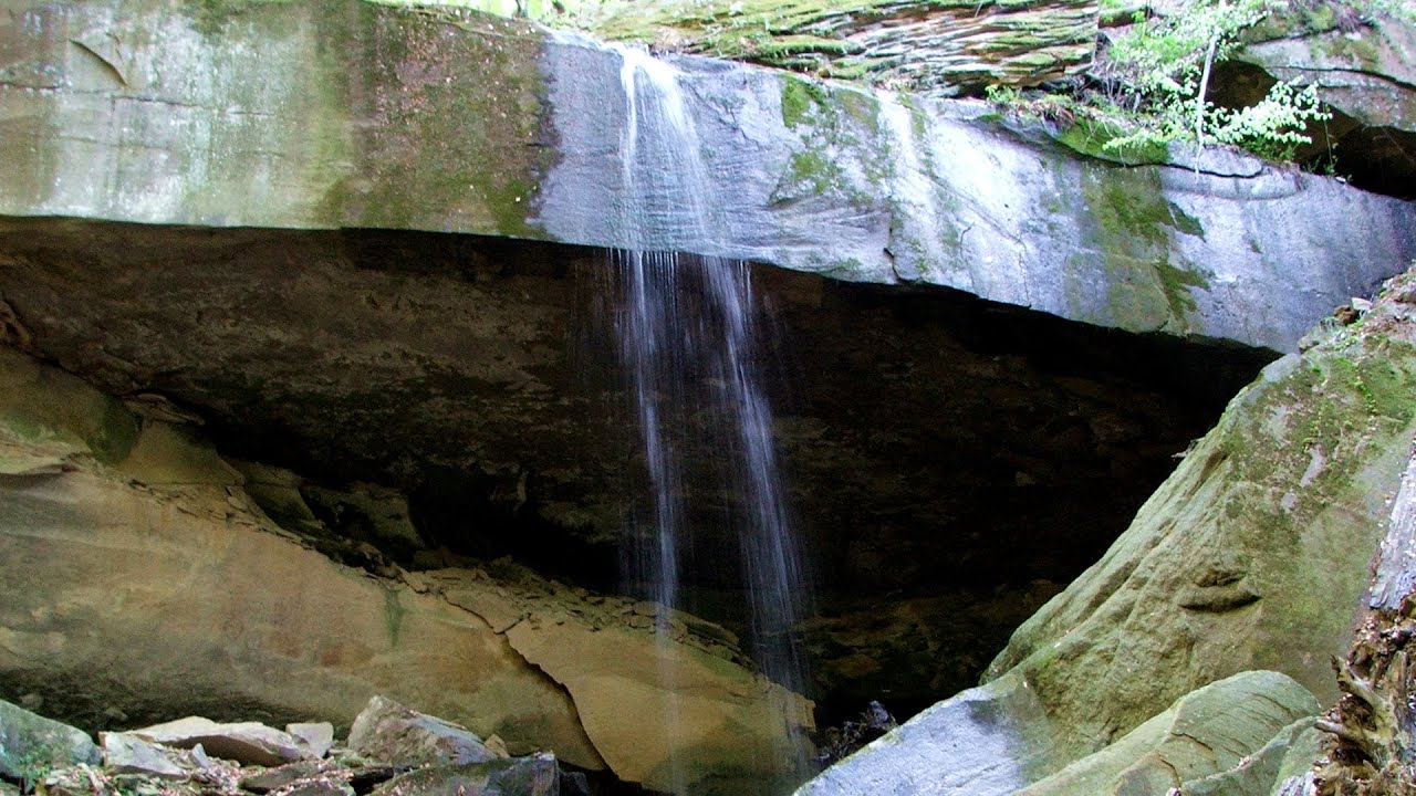
Waterfalls of Velnita stone-quarry - Targu Ocna 4.15 km away
Starting from the Velnita quarry, an adventurous nature enthusiast, accustomed to wild and rugged terrains, will discover a true waterfall paradise. At the upper part of the quarry, two streams converge.

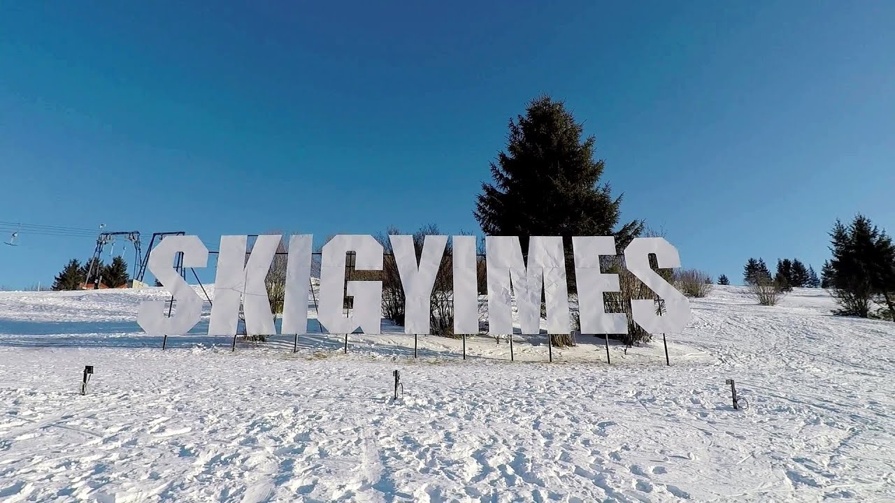
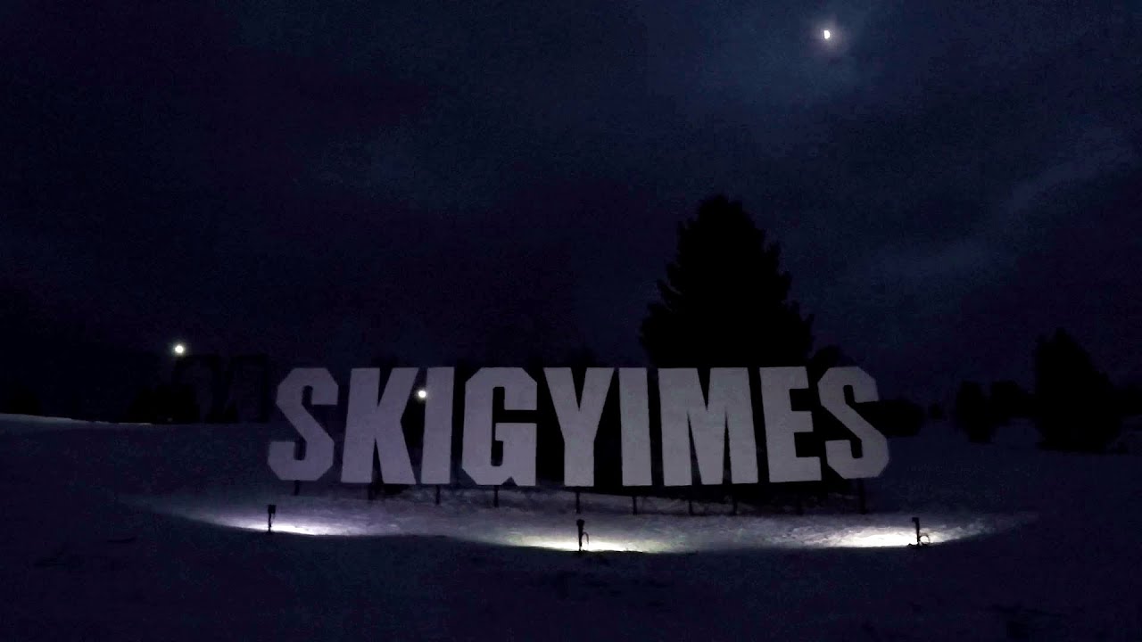
SkiGyimes ski slope - Lunca de Sus 56.9 km away
It is well-known that in Rimetea, due to the Piatra Secuiului (Szekler's Rock) mountain, the Sun rises twice. However, perhaps few know that in Lunca de Sus, the Sun sets three times.

Ski Gyimes ski slope - Lunca de Sus 56.9 km away
The Ski Gyimes ski slope is located in Lunca de Sus, right next to the main road. It is 800 m long, the level difference is 160 m.

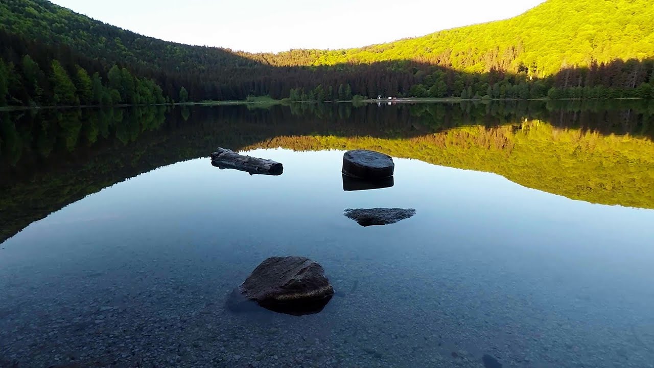
Saint Anne lake - Ciomat-Puturosu 58.27 km away
Lake Saint Anna is the only well-preserved volcanic crater lake in Eastern Europe. Here are some images from an afternoon outing.

Walking to the top of Sumuleul Mare - Sumuleu Ciuc 59.88 km away
This was my first attempt at shooting a video.
Other places
Gelmerbahn Guttannen, Schweiz 1399.55 km away
The Gelmerbahn in Switzerland is the steepest open funicular in Europe. It transports tourists from an altitude of 1412 meters to over 1860 meters above sea level, as well as to the Gelmer lake located at 1849 meters.
The Gelmerbahn in Switzerland is the steepest open funicular in Europe. It transports tourists from an altitude of 1412 meters to over 1860 meters above sea level, as well as to the Gelmer lake located at 1849 meters.
Snow-covered valley of Balea and the Transfagarasan in winter The ascent 170.65 km away
The Fagarasi Mountains can be easily approached from the north, mainly by using the Transfagarasan Road. This high altitude mountain road is only accessible during the summer months (throughout its entire length), but from the Balea Waterfall station (Statia Balea Cascada) you can also reach the Balea Lake by cable car.
The Fagarasi Mountains can be easily approached from the north, mainly by using the Transfagarasan Road. This high altitude mountain road is only accessible during the summer months (throughout its entire length), but from the Balea Waterfall station (Statia Balea Cascada) you can also reach the Balea Lake by cable car.
The Heart of Jesus look-out Lupeni 104.76 km away
Through the mud on Gordon Mountain, above Farkaslaka (Lupeni commune, Harghita county, Transilvania), on a cloudy afternoon, at the end of February. The destination is the Heart of Jesus lookout, nicknamed as Pléhkrisztus (The Tin Christ).
Through the mud on Gordon Mountain, above Farkaslaka (Lupeni commune, Harghita county, Transilvania), on a cloudy afternoon, at the end of February. The destination is the Heart of Jesus lookout, nicknamed as Pléhkrisztus (The Tin Christ).
Small Via ferrata Rasnoavei Gorges 117.57 km away
In the past few days, it has snowed, so I climbed the two climbing routes in the Rasnoavei Gorge under winter conditions. While the lower part of the challenging Big via ferrata was dry, the upper section had patches of snow and icicles.
In the past few days, it has snowed, so I climbed the two climbing routes in the Rasnoavei Gorge under winter conditions. While the lower part of the challenging Big via ferrata was dry, the upper section had patches of snow and icicles.
Hili cove iron path Turda Gorges 227.04 km away
While the first time I climbed this via ferrata in the morning, now I climbed it in the light of the setting sun. The red-dressed rocks created a special atmosphere, and I could admire the sunset from the top of the climbing route.
While the first time I climbed this via ferrata in the morning, now I climbed it in the light of the setting sun. The red-dressed rocks created a special atmosphere, and I could admire the sunset from the top of the climbing route.
[ Top ↑ ]
Copyright © 2003-2025 Trekkingklub and friends. Reproduction of any text, picture or video from this website, either in printed or electronic form, is prohibited without prior written permission. Website made with love  in Miercurea Ciuc.
 in Miercurea Ciuc.


