Tourist attractions near Racos (Racos, Brasov county, Romania)
Photos of nearby places


Thieves' Cave - Persani Mountains (20 photos) 6.1 km away. The Thieves' Cave at Apata is located in the valley of the Tepeu creek, renowned for its outcrop of red clayey limestone, which is very rich in ammonites.


[ Top ↑ ]
Videos of nearby places
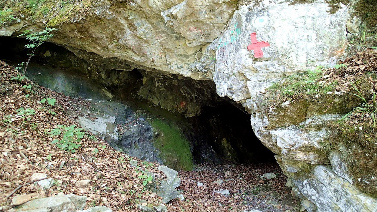
The Cave of Thieves - Apata 6.1 km away. The Cave of Thieves (Pestera Hotilor, Tolvajos), located in the Olt Gorge at Racos, is situated at the source of the Tepeu creek.
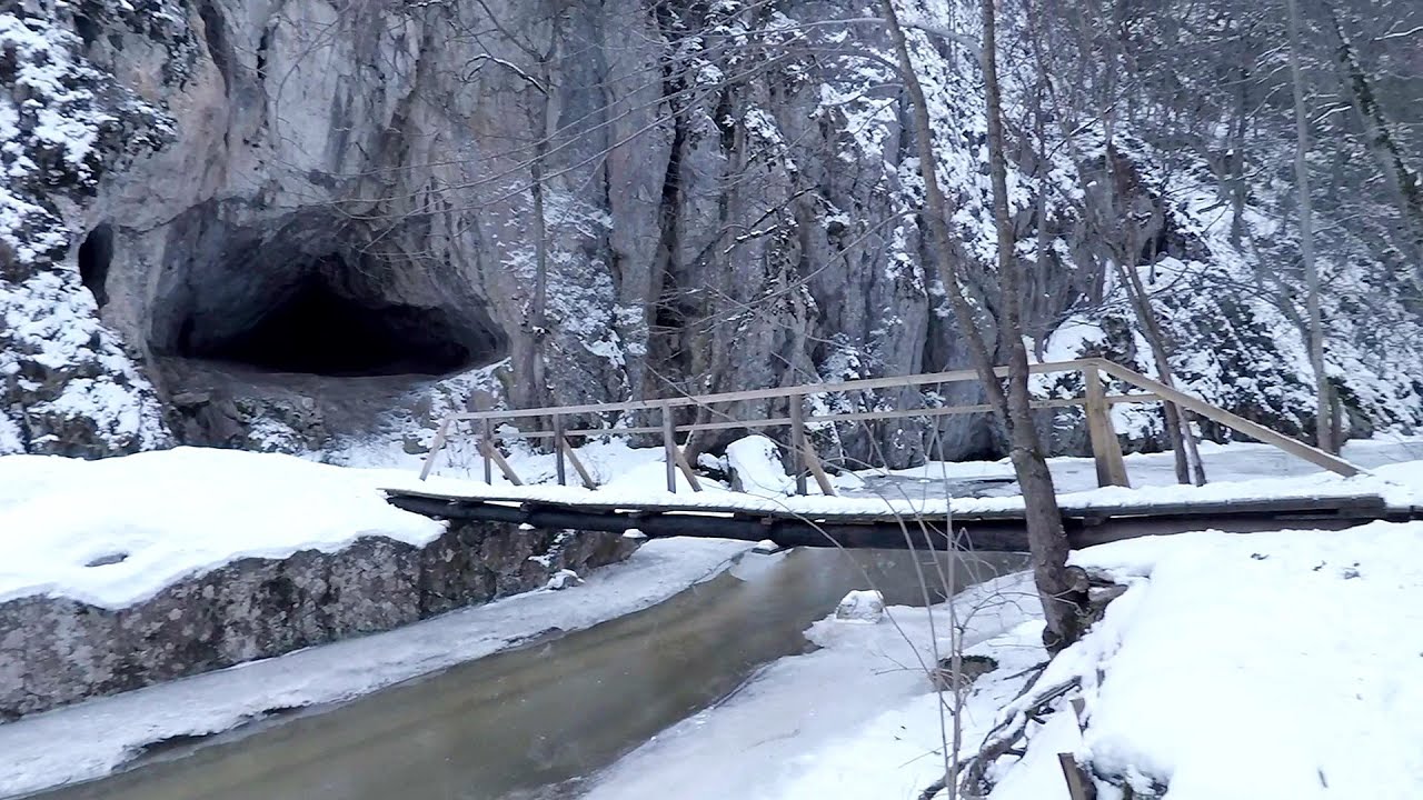
Varghis gorges in winter 23.9 km away. I went out to admire the ice stalagmites (standing icicles) in the Varghis Gorge.

Preacher's Rock - Bodoc Mountains 37.4 km away. In the Bodoc Mountains, west-southwest from the Henter peak, we find a rock formation shaped like a mushroom by erosion, called Preacher's Rock.

Saint Anne lake - Ciomat-Puturosu 38.6 km away. Lake Saint Anna is the only well-preserved volcanic crater lake in Eastern Europe.

The Heart of Jesus look-out - Lupeni 42.7 km away. Through the mud on Gordon Mountain, above Farkaslaka (Lupeni commune, Harghita county, Transilvania), on a cloudy afternoon, at the end of February.

TV-radio amplifying station - Harghita Ciceu 44.5 km away. The hiking trail marked with a blue stripe starts at the Uz Bence shelter and runs from Harghita-Bai to Harghita Madaras.
Other places
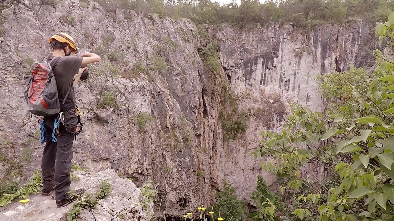
Lednica iron path Brestnitsa 345 km away. The Lednica via ferrata is located next to the Saeva Dupka Cave, near the village of Brestnitsa in Bulgaria.

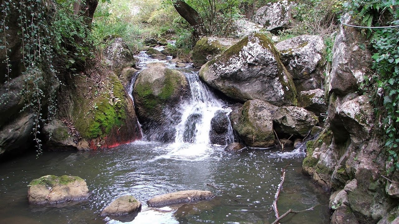
Crivadia Gorge 181.9 km away. The Crivadia Gorge is located next to the village of Crivadia, which belongs to Banita.

Ski resort Poiana Brasov Postavarul Mountains 51.6 km away. Shining sun and an Austria-feeling on the impeccable slopes of the ski paradise Poiana Brasov above Brasov.
Tureni Gorge iron path (Via ferrata Cheile Tureni) 145.9 km away. Tureni Gorge iron path visiting route (Via ferrata Cheile Tureni), Trascau Mountains.

Hodoaba Valley iron path Suncuius 241.2 km away. The Hodoaba Valley iron path is Romania's shortest and easiest (official) via ferrata route.
[ Top ↑ ]
Copyright © 2003-2025 Trekkingklub and friends. Reproduction of any text, picture or video from this website, either in printed or electronic form, is prohibited without prior written permission. Website made with love  in Miercurea Ciuc.