Tourist attractions near Gura Teghii (Gura Teghii, Buzau county, Romania)
Photos of nearby places


White dacitic tuff - Manzalesti (4 photos) 16.7 km away. The 'Grunjul de la Manzalesti' is composed of dacitic tuff, which originates from volcanic ash. It is located in the center of the Manzalesti commune, Buzau county, at the confluence of the Slanic and Jgheab streams.

Chiojdu (18 photos) 22.5 km away. Basca cu Cale - La Sipot waterfall - Basca fara Cale - Tata Lice boarding-house - Chiojdu village.

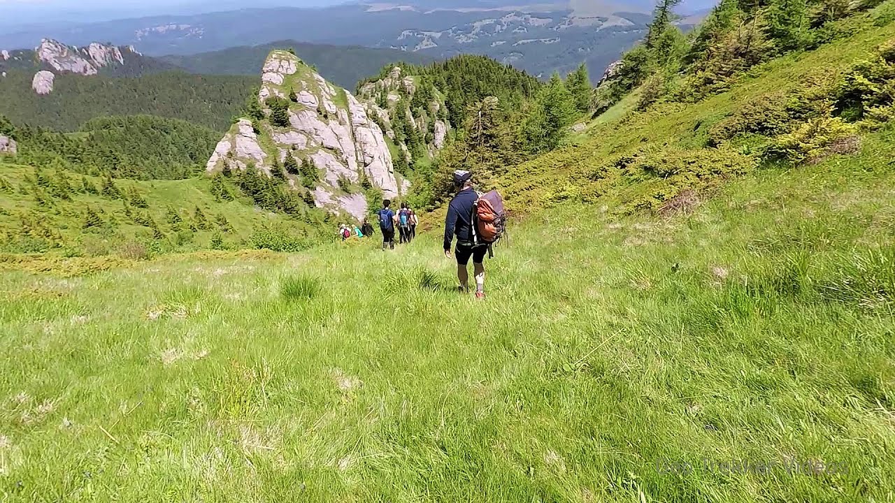
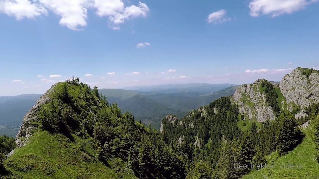
Devils Hand Rock - Ciucas Mountains (30 photos) 35.5 km away. Dalghiu - Devil's Hand Rock - Ciucas peak - Vama Buzaului

Muntele Rosu - Ciucas Mountains (12 photos) 36.2 km away. Muntele Rosu (Red Mountain) - Ciucas Mountains.

Red Mountain, Tigaile Mari - Ciucas Mountains (24 photos) 38.6 km away. Red Mountain - Tigaile Mari.

Surroundings of Covasna town (24 photos) 41 km away. Fortress of Fairies, Narrow gauge railway Covasna-Comandau


Piatra Mare peak and surroundings (24 photos) 60.8 km away. Piatra Mare hut - Piatra Mare peak - Stone Mushrooms - Stone Barn.

Seven Ladder Waterfall - Piatra Mare Mountains (12 photos) 61.6 km away. The Seven Ladders are located in the middle-western part of the Piatra Mare Mountains, at an average altitude of 980 m, not far away from Valea Timisului (Dambu Morii), on the Seven Ladders River, the left-side affluent of Sipoaia creek. These are the greatest and the most spectacular gorges of the whole Piatra Mare Mountains.

Veczer Rock (12 photos) 64.9 km away. The Veczer Rock is located 3 km south of the village of Ariusd, on the southern slope of the place named Veczer. The tall hill is encircled by the Olt River, with conglomerate rocks resembling giants stretching above the river.


Urlatoarea waterfall - Bucegi Mountains (8 photos) 71.7 km away. Urlatoarea waterfall (Cascada Urlatoarea) - Bucegi Mountains.

Saint Annes Rock - Bucegi Mountains (24 photos) 71.8 km away. Saint Annes Rock (Stanca Sfanta Ana) - Bucegi Mountains.

Costila Peak, Caraiman Mountain - Bucegi (18 photos) 72.8 km away. Costila Peak, Caraiman Mountain - Bucegi Mountains.

Valley of mountain pines - Bucegi (12 photos) 73.4 km away. Valley of mountain pines (Valea Jepilor) - Bucegi Mountains.

Zgarbura Valley, Vanturis waterfalls - Bucegi (18 photos) 74.8 km away. Shoe Valley (Zgarbura Valley, Valea Zgarburei), Vanturis waterfalls - Bucegi Mountains.


Great Bucsoi Mountain, Omu Peak - Bucegi (24 photos) 75.2 km away. Great Bucsoi Mountain (Bucsoiul Mare), Omu Peak (Varful Omu) - Bucegi Mountains.

Valley of the Slim Figures - Bucegi Mountains (5 photos) 75.5 km away. Valley of the Slim Figures (Valea Sugarilor) - Bucegi Mountains.

Omu Peak, chamois - Bucegi Mountains (18 photos) 75.7 km away. Omu Peak (Varful Omu), chamois - Bucegi Mountains.

Peak of Longing - Waterfalls of the Vanturis stream (36 photos) 75.9 km away. Peak of Longing (Varful cu Dor) - Waterfalls of the Vanturis stream (Cascadele Vanturisului).
[ Top ↑ ]
Videos of nearby places
Searching for rhododendrons - Ciucas Boulevard 35.4 km away. Red Mountain (Muntele Rosu), Gropsoarele-Zaganu ridge - Ciucas Mountains

Seven Ladder Canyon and Waterfall - Piatra Mare Mountain 61.5 km away. The Seven Ladder Gorge is the largest and most spectacular gorge in the Piatra Mare massif. The narrow canyon has a length of 160 meters, and over a drop of 58 meters includes 7 bigger and several smaller waterfalls.
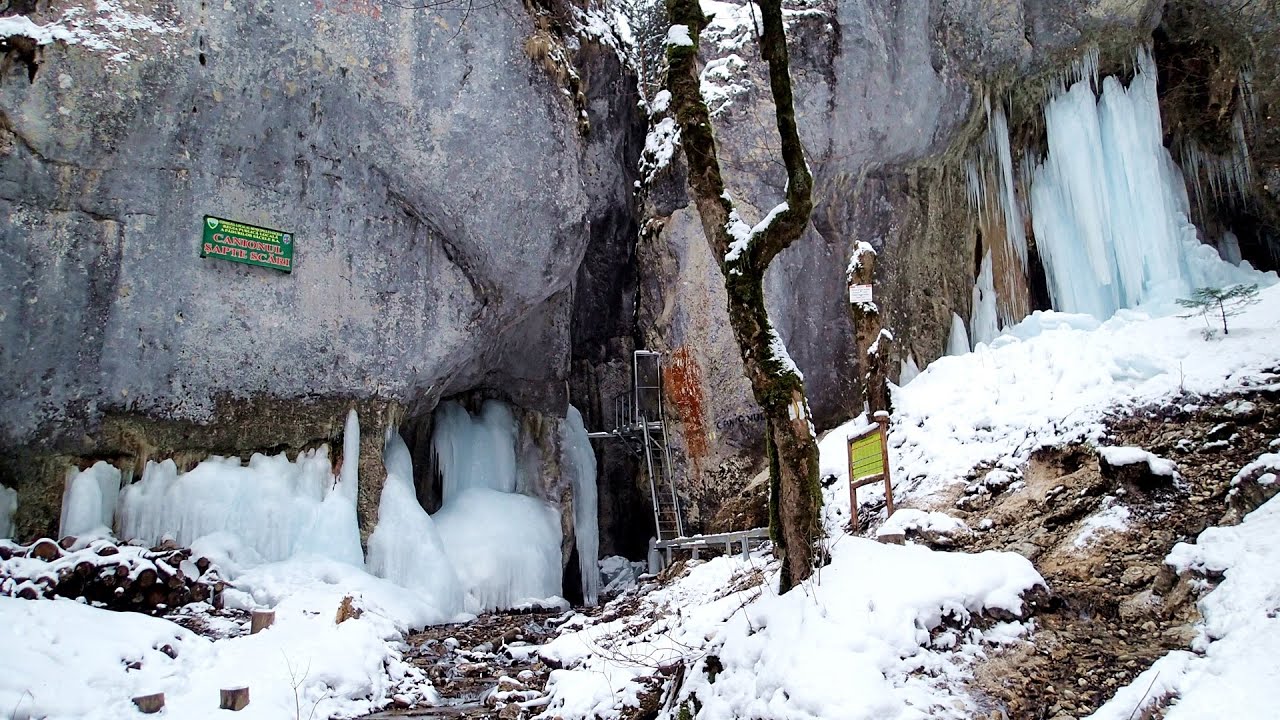
Seven Ladder Canyon in Winter - Piatra Mare Mountain 61.6 km away. Seven Ladder Canyon and Waterfall in Winter - Piatra Mare Mountain
Other places
The Gorge of the Creek of the Gorge Buila-Vanturarita National Park 181.2 km away. The Gorges of the Creek of the Gorge (Cheii Gorge, Cheile Cheii) is located in the Buila-Vanturarita National Park within the Capatana Mountains. It is one of the most beautiful and picturesque gorges in Romania.

SkiGyimes ski slope Lunca de Sus 120.5 km away. It is well-known that in Rimetea, due to the Piatra Secuiului (Szekler's Rock) mountain, the Sun rises twice. However, perhaps few know that in Lunca de Sus, the Sun sets three times.

Acapulcos spur via ferrata 339.3 km away. Acapulco's spur (Pintenul lui Acapulco) via ferrata (B/C) - Montana Land, Suncuius.

Mill of the Devils Tasna Gorge 312 km away. Mill of the Devils (Moara Dracilor) - Tasna Gorge (Cheile Tasnei). The Tasna Gorges are located in the Mehedinti Mountains, approximately 15 km from the resort of Baile Herculane.

Kaya Bunar Hotnitsa 270.2 km away. The Kaya Bunar Waterfall (Hotnishki Vodopadi, Hotnitsa Waterfall) is located 20 km from the city of Veliko Tarnovo in Bulgaria. The waterfall is 30 meters high, and there are several smaller cascades above it.
Goats Ledge iron path Ramet Gorge 246.6 km away. Via ferrata Goats Ledge (Brana Caprei) iron path - Ramet Gorge, Trascau Mountains.
Pricske peak Giurgeu Mountains 158.3 km away. If we want to reach Pricske (Prisca) peak, which rises above Gheorgheni and Lazarea, we start from the valley of the Güdüc (Ghidut) stream. Our path leads us past the ruins of a building known as the White House.
The Stone Path Nochevo 413.2 km away. Kamennata pateka (The Stone Path) - Nochevo.

Buzludzha monument Kazanluk 316.8 km away. Buzludzha is a historically significant mountain located in the Central Balkan Mountains of Bulgaria. At its summit, at an altitude of 1432 meters above sea level, there is an abandoned monument.
[ Top ↑ ]
Copyright © 2003-2026 Trekkingklub and friends. Reproduction of any text, picture or video from this website, either in printed or electronic form, is prohibited without prior written permission. Website made with love  in Miercurea Ciuc.