Tourist attractions near Petrestii de Jos (Petrestii de Jos, Cluj county, Romania)
Photos of nearby places

Turda Gorge - Trascau Mountains (9 photos) 2.2 km away. Turda Gorge (Cheile Turzii) - Trascau Mountains.

Turda Gorge - Trascau Mountains (11 photos) 2.2 km away. Turda Gorge (Cheile Turzii) - Trascau Mountains.

Turda Gorge via ferrata (24 photos) 2.5 km away. Turda Gorge iron path (Via ferrata Cheile Turzii) - Trascau Mountains.

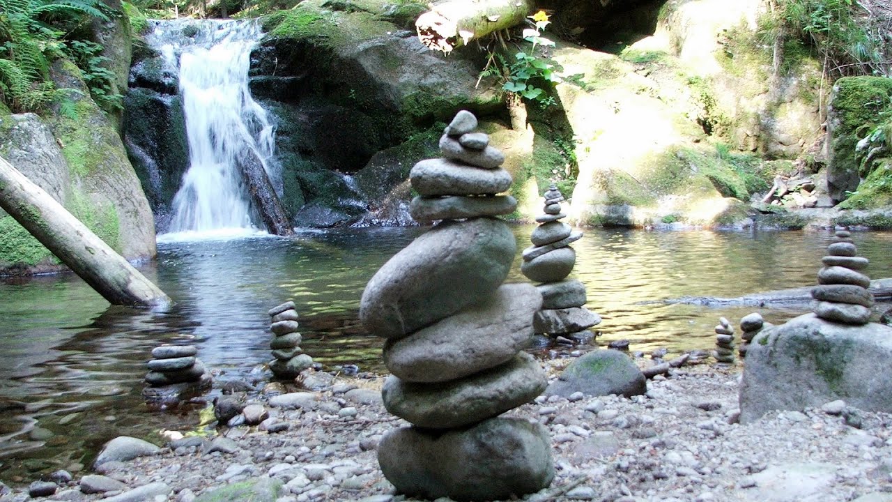
Tureni Gorge iron path visiting route (24 photos) 5.3 km away. Tureni Gorge iron path visiting route (via ferrata) - Trascau Mountains.


Spherical concretions from Feleac (18 photos) 15.2 km away. The spherical concretions from Feleac are sedimentary rock materials that were cemented together to form a hard structure. The surrounding sediments slowly erode away, exposing the concretion.

Szekler Stone North - Trascau Mountains (8 photos) 15.7 km away. Szekler Stone North (Piatra Secuilor Nord) - Trascau Mountains.

Szekler Stone - Trascau Mountains (42 photos) 15.7 km away. Szekler Stone (Székely-kő, Piatra Secuilor) - Trascau Mountains.


Balcony Clearing - Trascau Mountains (6 photos) 24.1 km away. Balcony Clearing (Erkély-tisztás, Balconul Sipotelor) - Trascau Mountains.
[ Top ↑ ]
Videos of nearby places
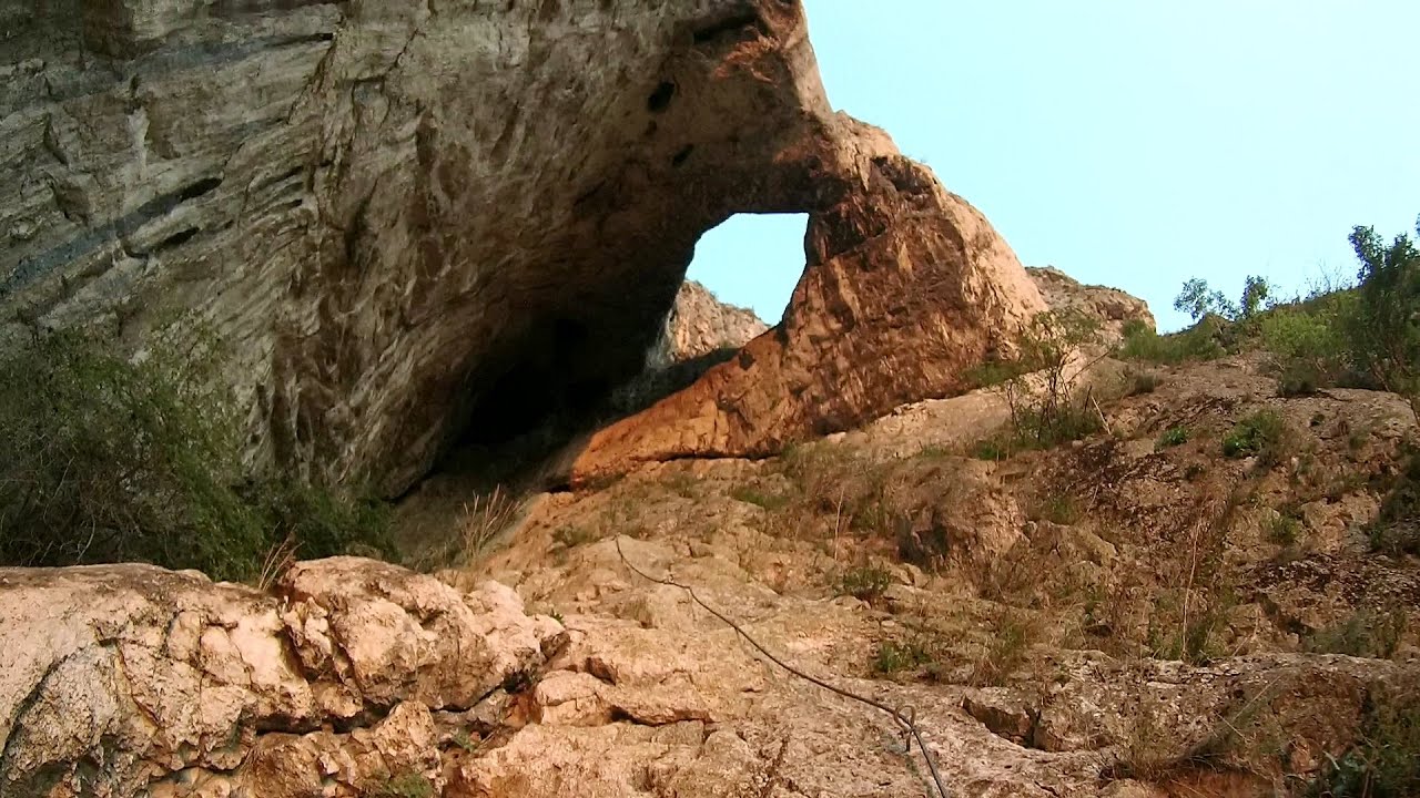
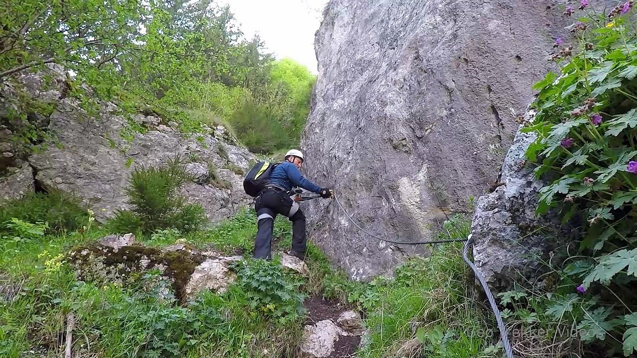
Hilis cave - Turda Gorge via ferrata 2.5 km away. While the first time I climbed this via ferrata (Sky Fly) in the morning, now I climbed it in the light of the setting sun. The red-dressed rocks created a special atmosphere, and I could admire the sunset from the top of the climbing route.
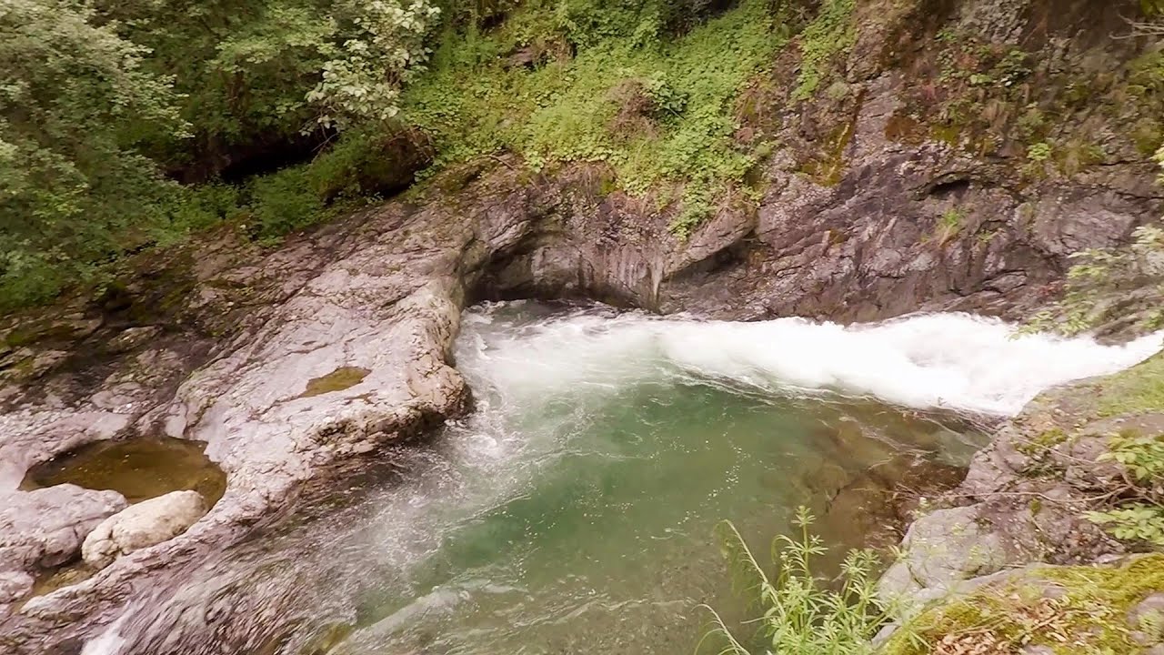
Tureni Gorge iron path 5.7 km away. Tureni Gorge iron path visiting route (Via ferrata Cheile Tureni), Trascau Mountains.

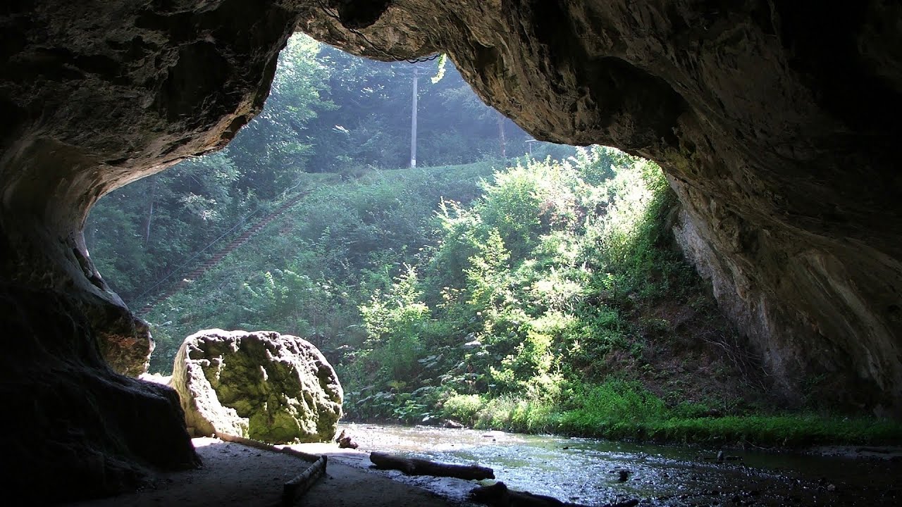
Huda lui Papara cave - Salciua de Jos 26.6 km away. Huda lui Papara cave (Paparas Hole) - Salciua de Jos, Trascau Mountains.
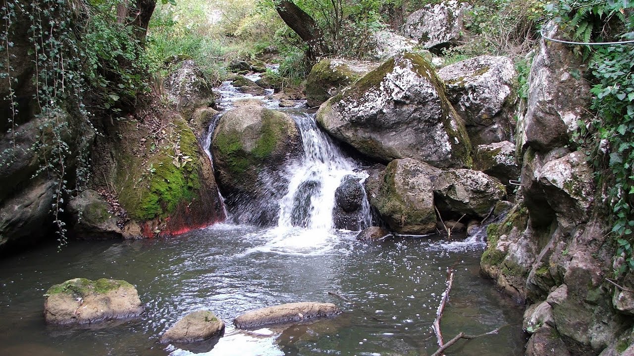
Dalbina waterfall, Dark Blue Bruises of the Ponor 27.6 km away. Dalbina waterfall, Dark Blue Bruises of the Ponor (Vanatarile Ponorului).

Other places
Byala Reka eco-trail Kalofer 448.2 km away. The Byala Reka eco-trail is situated at the foot of the Stara Planina mountain range, 8 km from the town of Kalofer. A 1,830-meter-long hiking trail has been established along the White Creek within the Central Balkan National Park.
Sugau Stone lookout point and iron path, Sugau Gorge Munticelu 169.5 km away. Sugau Stone lookout point and iron path (B/C), Sugau Gorge - Munticelu Nature Reserve.

Vulva cave Rhodope Mountains The Vulva Cave (Peshtera Utroba) is situated near the village of Nenkovo and the city of Kardzhali, in the Rhodope Mountains of Bulgaria. It derives its name from the shape of its entrance, which resembles a vulva.
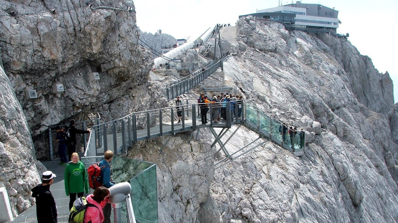
Sky Walk, Suspension Bridge, Stairway to Nothingness Styria, Dachstein The Dachstein cable car (Gletscherbahn Panorama Gondel, Panorama Cable Car) took me up to a height of 2700 meters, to the highest mountain in Styria (Steiermark), the Dachstein. Next to the upper station of the cable car there are several tourist attractions.
Boli Cave Banita 127.9 km away. The Boli Cave is located 6 km north of Petrosani, on the road that connects Hateg with the Jiu Valley. Here, the railway line that connects the two parts of Hunedoara County passes through, featuring a total of 66 curves and 8 tunnels.

The Heart of Jesus look-out Lupeni 124.5 km away. Through the mud on Gordon Mountain, above Farkaslaka (Lupeni commune, Harghita county, Transilvania), on a cloudy afternoon, at the end of February. The destination is the Heart of Jesus lookout, nicknamed as Pléhkrisztus (The Tin Christ).
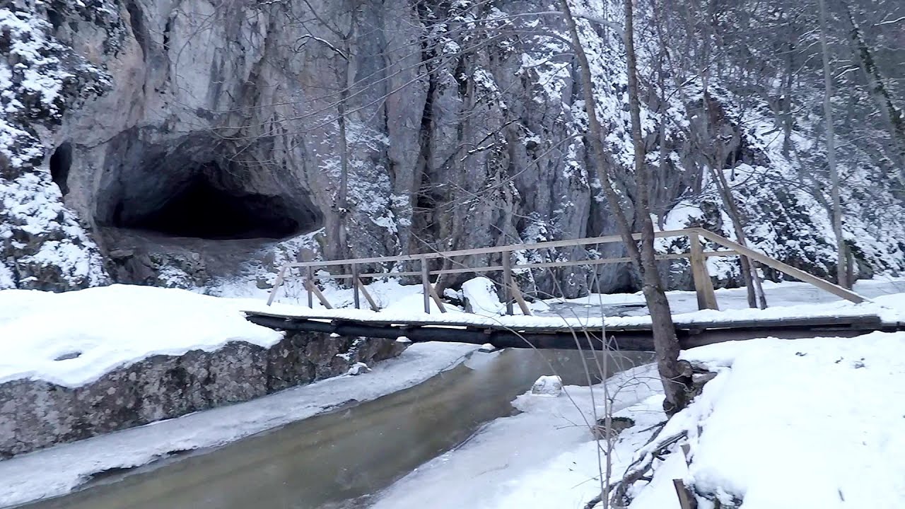
Varghis gorges in winter 150.5 km away. I went out to admire the ice stalagmites (standing icicles) in the Varghis Gorge. Anyone arriving here at the end of winter can observe meter-high ice stalagmites in the entrance area of Meresti Cave (now known as Orban Balazs Cave).
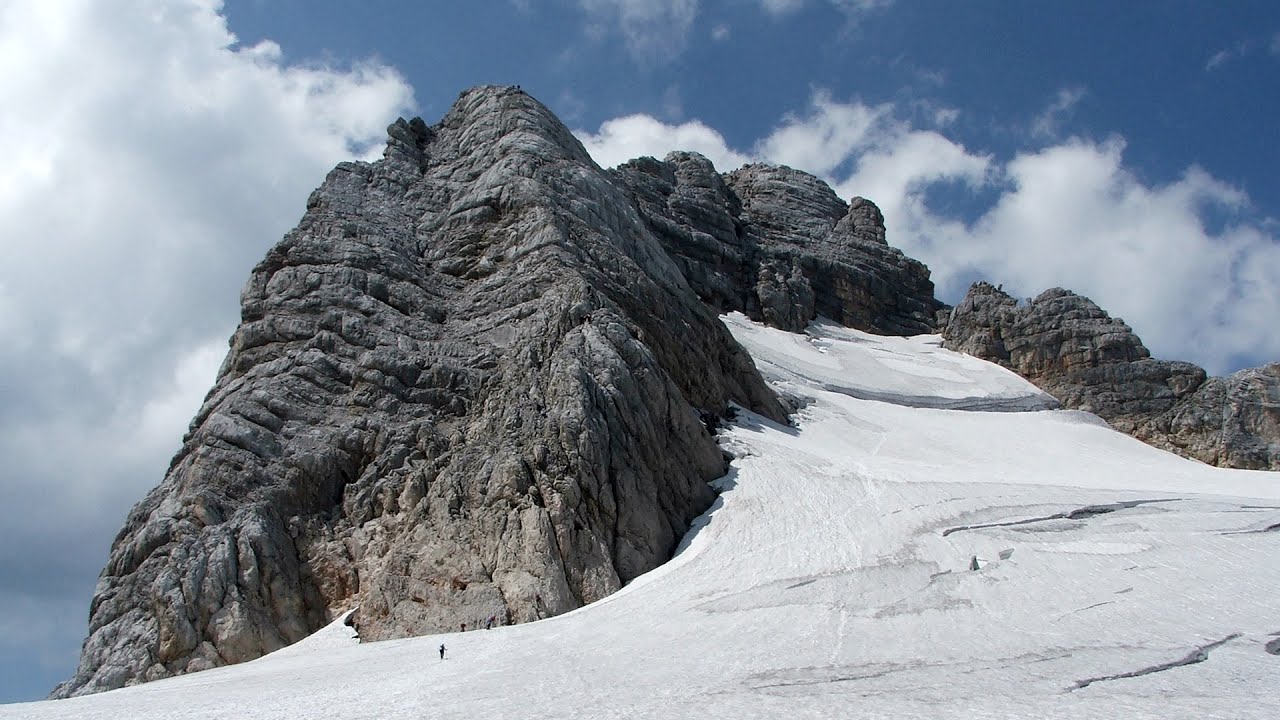
Schulter Anstieg klettersteig Hoher Dachstein Two routes lead to the top of the Hoher Dachstein. The Randkluft is shorter, but can only be reached through a glacier with cracks.

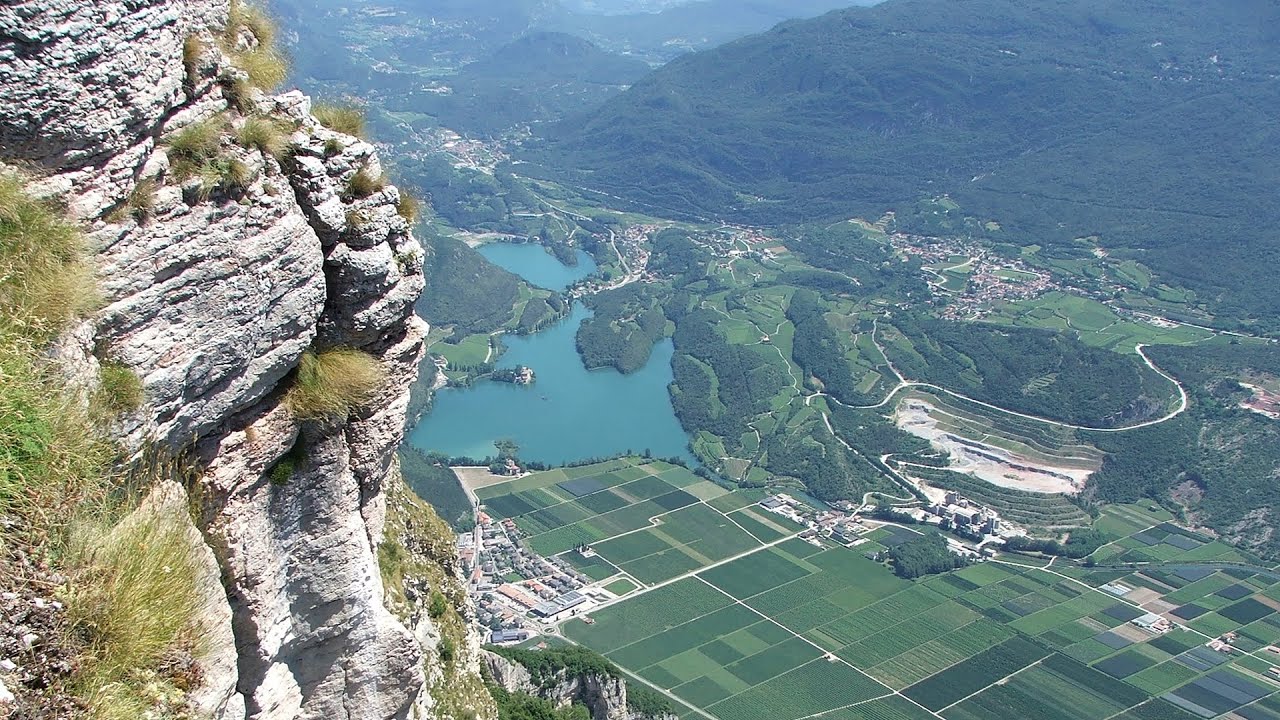
Via ferrata Ernesto Che Guevara al Monte Casale, Monti del Garda, Trentino Alto Adige The Che Guevara via ferrata is the longest iron climbing route I have ever climbed. There is a 1400 m level difference from the starting point to the peak of Monte Casale.
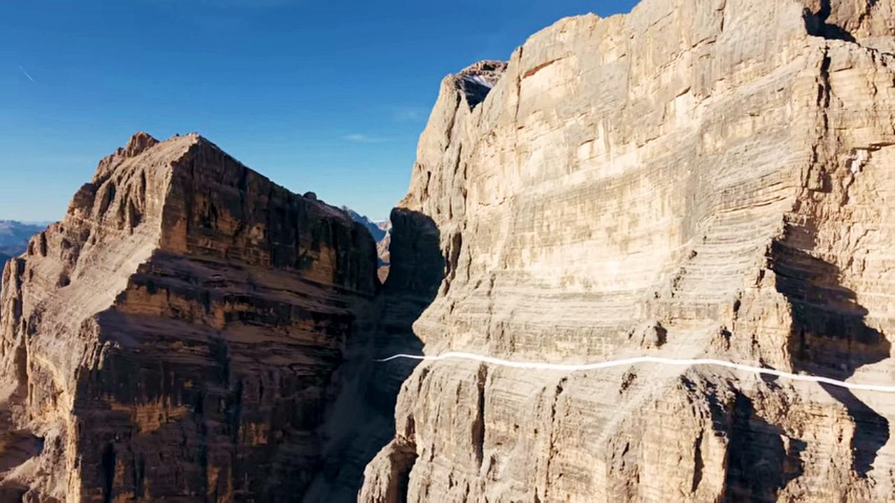
The Crack Grohmanns Ledge Monte Pelmo Monte Pelmo is nicknamed God's Armchair because its shape resembles a huge armchair. Between Monte Pelmo and Monte Pelmetto is The Crack (La Fessura).
Agnes Waterfall Western Mecsek 419.9 km away. The Agnes Waterfall is the largest waterfall in the Mecsek region, although the stream's water only cascades down from a height of one and a half to two meters, over a travertine ledge. Nearby attractions include the Meleg-mány Waterfall and the Mánfa Stone-Cave.
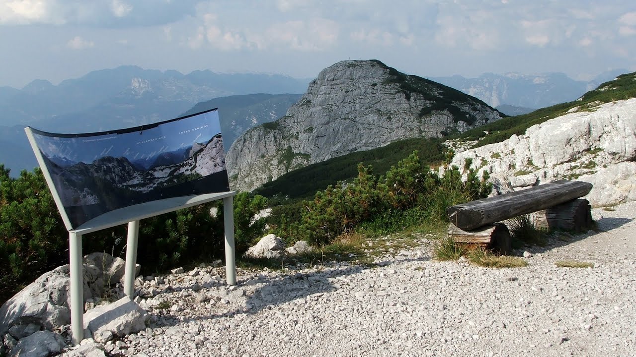
Five Fingers, World NATURE Heritage Lookout, World Heritage Spiral, Dachstein Shark The second station of the cable car departing from Obertraun is the Krippenstein peak (2100 m). Here you can find the famous Five Fingers (5fingers) lookout, which offers a unique view of Hallstatt and Obertraun below, as well as the Hallstättersee lake.
Mucanj via ferrata and the Boze Javorca cave Ravna Gora 440.7 km away. Difficulty level C/D, total length: 500 m, height difference: 200 m, year of construction: 2022. The via ferrata is free to climb.
Canyon of Waterfalls Smolyan The eco-trail known as the Canyon of Waterfalls is located in Bulgaria, within the Rhodope Mountains and the Soskovcheto Nature Reserve. It begins at the edge of the Sredoka suburb of the city of Smolyan.
[ Top ↑ ]
Copyright © 2003-2026 Trekkingklub and friends. Reproduction of any text, picture or video from this website, either in printed or electronic form, is prohibited without prior written permission. Website made with love  in Miercurea Ciuc.