Tourist attractions near Reci (Reci, Covasna county, Romania)
Photos of nearby places


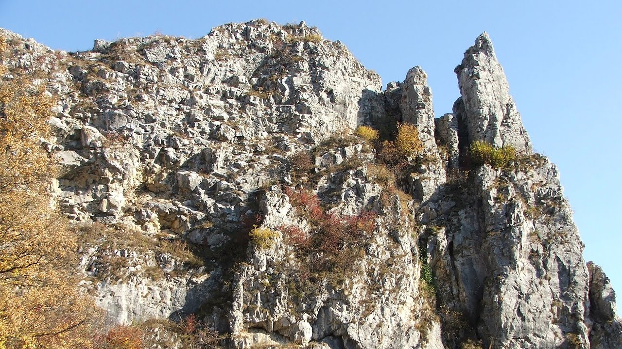
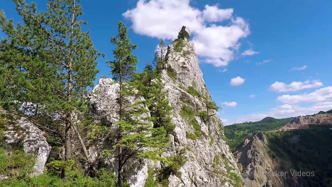
Veczer Rock (12 photos) 21.4 km away. The Veczer Rock is located 3 km south of the village of Ariusd, on the southern slope of the place named Veczer. The tall hill is encircled by the Olt River, with conglomerate rocks resembling giants stretching above the river.

Surroundings of Covasna town (24 photos) 23.2 km away. Fortress of Fairies, Narrow gauge railway Covasna-Comandau


[ Top ↑ ]
Videos of nearby places

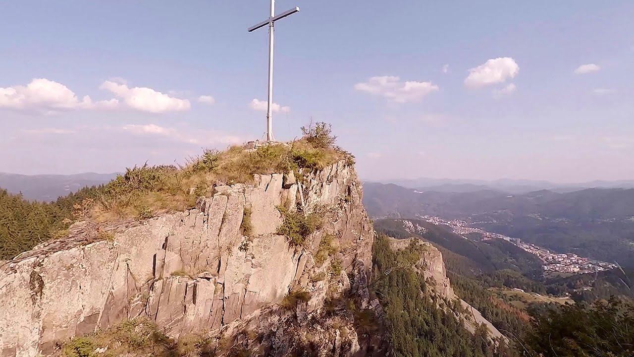
Preachers Rock - Bodoc Mountains 19.6 km away. In the Bodoc Mountains, west-southwest from the Henter peak, we find a rock formation shaped like a mushroom by erosion, called Preacher's Rock. This 2-meter high rock probably got its name from the pagan Hungarian priests, who preached here in the past.

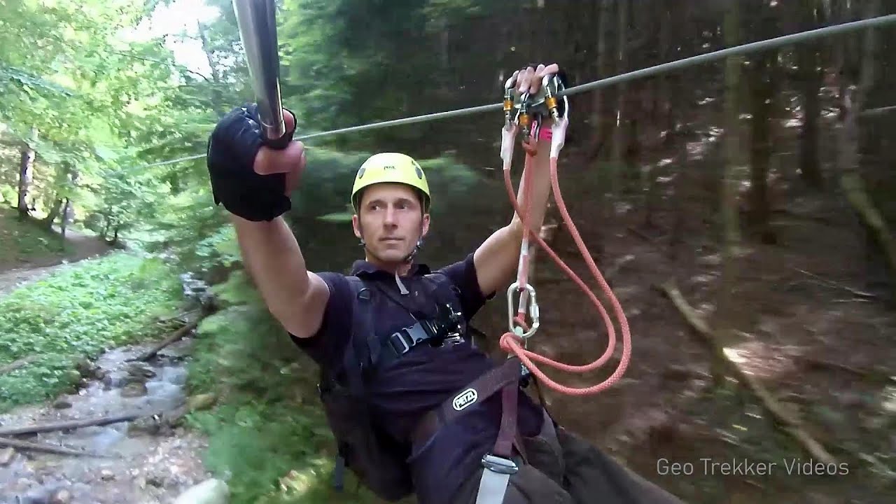
Saint Anne lake - Ciomat-Puturosu 31.9 km away. Lake Saint Anna is the only well-preserved volcanic crater lake in Eastern Europe. Here are some images from an afternoon outing.
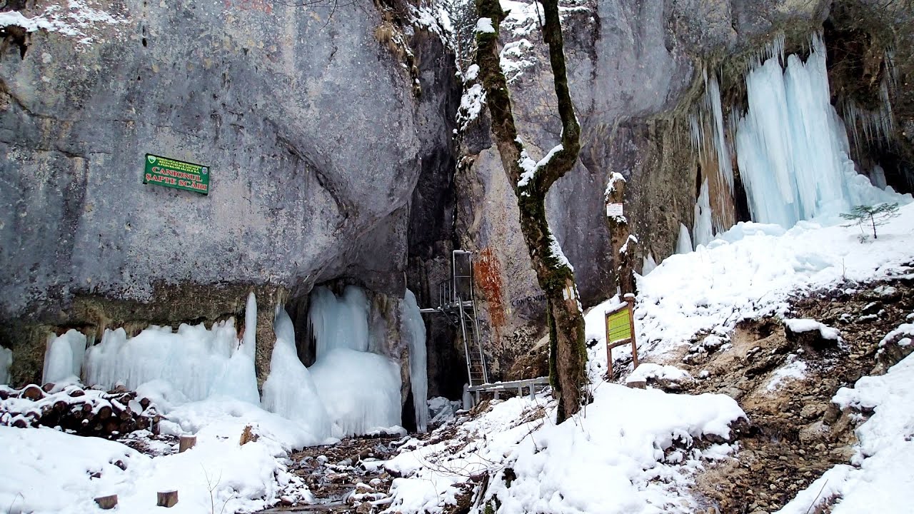
Seven Ladder Canyon in Winter - Piatra Mare Mountain 37.3 km away. Seven Ladder Canyon and Waterfall in Winter - Piatra Mare Mountain

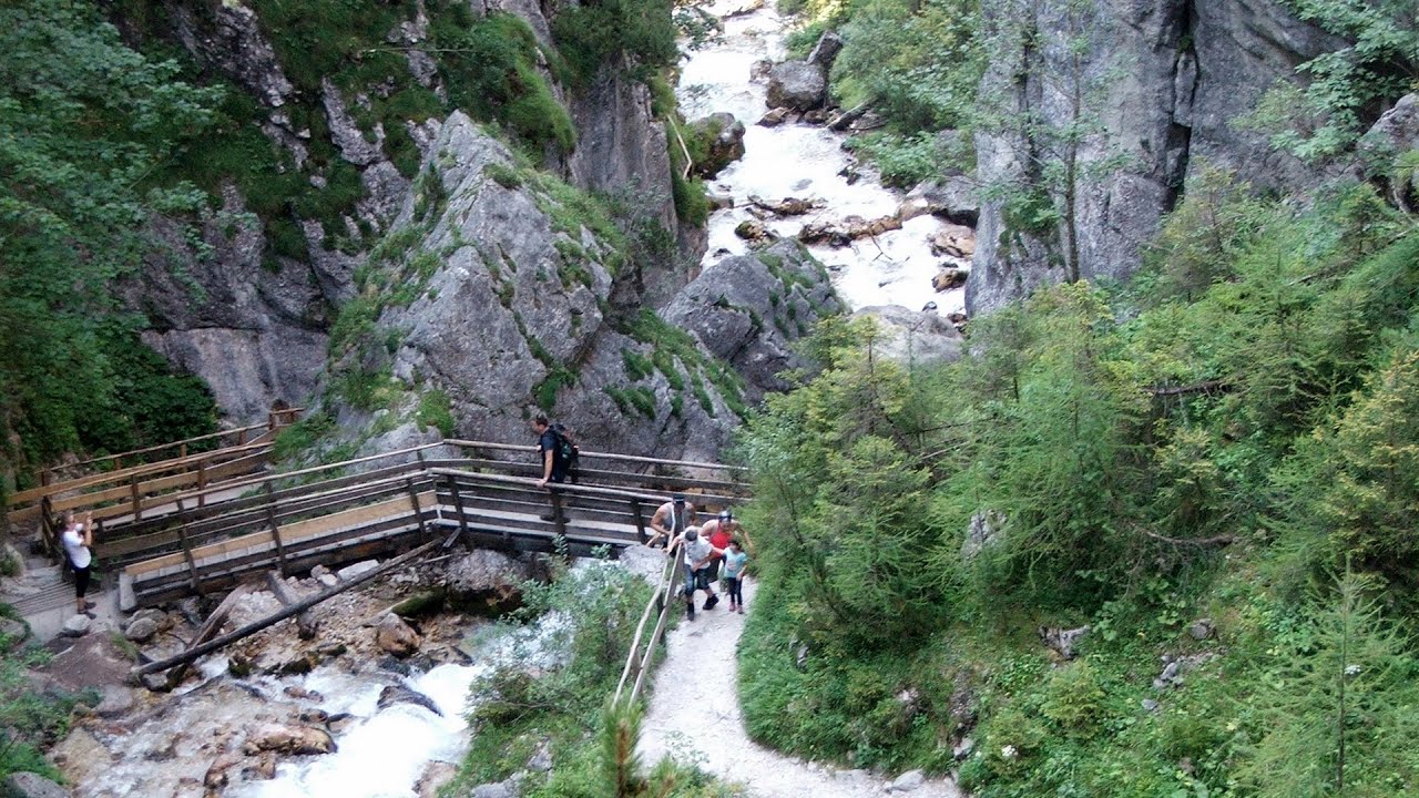
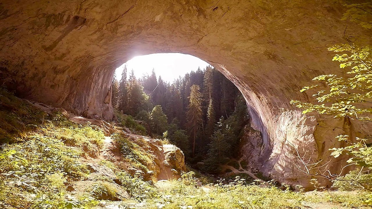
Seven Ladder Canyon and Waterfall - Piatra Mare Mountain 37.3 km away. The Seven Ladder Gorge is the largest and most spectacular gorge in the Piatra Mare massif. The narrow canyon has a length of 160 meters, and over a drop of 58 meters includes 7 bigger and several smaller waterfalls.
Other places
Mucanj via ferrata and the Boze Javorca cave Ravna Gora Difficulty level C/D, total length: 500 m, height difference: 200 m, year of construction: 2022. The via ferrata is free to climb.
Durdevica via ferrata and the canyon of the Ibar river Ribarice Difficulty level C/D (D/E), total length: 700 m, height difference: 200 m, year of construction: 2024. For experienced climbers with their own equipment, the registration fee is 5 euros per person.
Silberkar Gorge Ramsau am Dachstein One of the most beautiful hiking spots in the area of Ramsau am Dachstein, is the Silberkarklamm (Silberkar Gorge). It is possible to drive to the entrance of the gorge, there is parking available on the side of the road, and you have to pay an entrance fee.
Sugau Rock lookout point and iron path 109.9 km away. Sugau Rock lookout point and iron path (B/C). Sugau Gorges - Munticelu Nature Reserve, Hasmas Mountains.
Amazing Bridges Zabardo 459.8 km away. The Amazing Bridges (Chudni Mostove, Wonderful Bridges) are natural stone bridges. They are located in the Rhodope Mountains, in the Smolyan Province of Bulgaria, within the valley of the Erkyupriya River, at an altitude of 1,450 meters above sea level.

Via Ferrata Fairy Castle Vadu Crisului 290 km away. Via Ferrata Fairy Castle (Castelul Zanelor, Casa Zmeului, The House of the Dragon) - Vadu Crisului. South of Vadu Crisului, in the Padurea Craiului Mountains, lies the Vadu Crisului Gorge, a section of the Crisul Repede river that narrows between rocky walls.

Huda lui Papara cave Salciua de Jos 198.9 km away. Huda lui Papara cave (Paparas Hole) - Salciua de Jos, Trascau Mountains.
Neviastata ecopath and iron path Smolyan 482.2 km away. The Neviastata eco-trail is located in Bulgaria, nestled in the heart of the Rhodope Mountains, between Smolyan and Pamporovo. Here, you will find a small, paid adventure park.
[ Top ↑ ]
Copyright © 2003-2026 Trekkingklub and friends. Reproduction of any text, picture or video from this website, either in printed or electronic form, is prohibited without prior written permission. Website made with love  in Miercurea Ciuc.