Tourist attractions near Leliceni (Leliceni, Harghita county, Romania)
Photos of nearby places

Ruins of the Harom fortress - Jigodin Bath (10 photos) 5.8 km away
The Harom Fortress was built around the beginning of the 12th century and was part of the system of fortifications that protected Transylvania from the east. It is located south of Miercurea Ciuc, east of Harom Peak, which has an altitude of 1079 m, near the southwestern limits of Jigodin Bath (Baile Jigodin).
[ Top ↑ ]
Videos of nearby places

Walking to the top of Sumuleul Mare - Sumuleu Ciuc 2.5 km away
This was my first attempt at shooting a video.

Nobody's lake - Miercurea Ciuc 6.67 km away
The passage of time (time lapse), dusk at Nobody's Lake. Miercurea Ciuc and the Sumuleu mountain can be seen in the background.

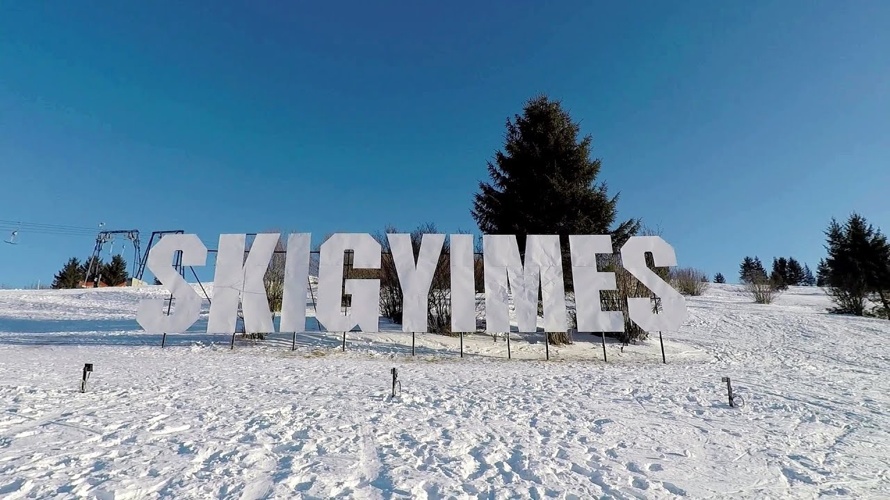
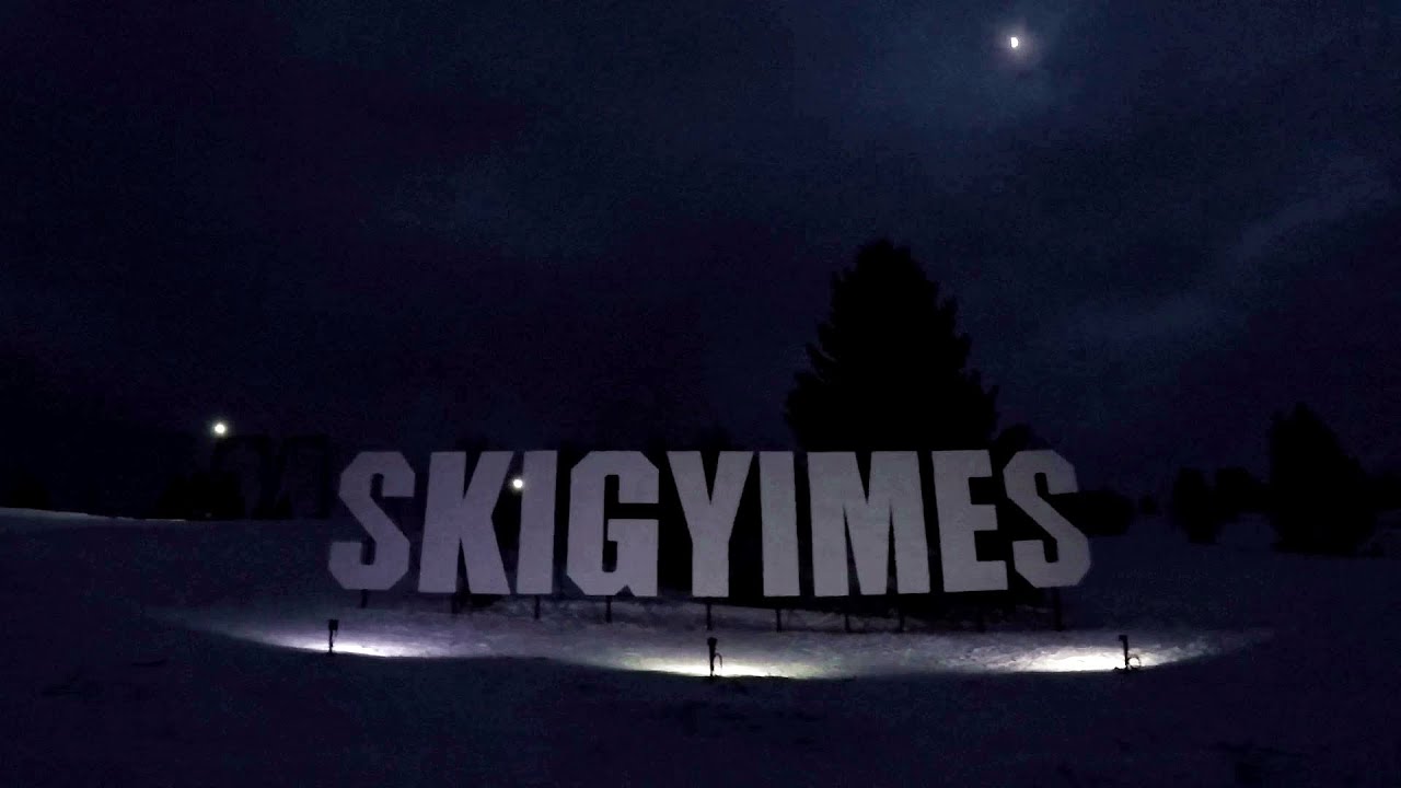
SkiGyimes ski slope - Lunca de Sus 21 km away
It is well-known that in Rimetea, due to the Piatra Secuiului (Szekler's Rock) mountain, the Sun rises twice. However, perhaps few know that in Lunca de Sus, the Sun sets three times.

Ski Gyimes ski slope - Lunca de Sus 21.01 km away
The Ski Gyimes ski slope is located in Lunca de Sus, right next to the main road. It is 800 m long, the level difference is 160 m.
Other places
Canyon of Waterfalls Smolyan 538.36 km away
The eco-trail known as the Canyon of Waterfalls is located in Bulgaria, within the Rhodope Mountains and the Soskovcheto Nature Reserve. It begins at the edge of the Sredoka suburb of the city of Smolyan.
The eco-trail known as the Canyon of Waterfalls is located in Bulgaria, within the Rhodope Mountains and the Soskovcheto Nature Reserve. It begins at the edge of the Sredoka suburb of the city of Smolyan.
Trümmelbach-fälle Lauterbrunnen, Switzerland 1370.99 km away
The Trümmelbach Waterfalls are a series of ten cascades partially located inside the belly of the mountain, near Lauterbrunnen, Switzerland. Infrastructure has been established to enable tourist access to the waterfalls.
The Trümmelbach Waterfalls are a series of ten cascades partially located inside the belly of the mountain, near Lauterbrunnen, Switzerland. Infrastructure has been established to enable tourist access to the waterfalls.
Poienii Rock, north-eastern lookout point Bicaz Gorges 51.42 km away
From the viewpoint at the top of the northeastern wall of Poienii Rock in the Bicaz Gorges, we can look down 300 meters to the mouth of the Bicajel stream. The Bridge of the Hungarians is hidden among pine trees.
From the viewpoint at the top of the northeastern wall of Poienii Rock in the Bicaz Gorges, we can look down 300 meters to the mouth of the Bicajel stream. The Bridge of the Hungarians is hidden among pine trees.
Muierii Cave (Pestera Muierilor) Baia de Fier 207.04 km away
We visited the Baia de Fier area, and climbed on the rock that also conceals the Women's Cave (Pestera Muierilor). Between two via ferrata routes, we also participated in one of the guided cave tours, which depart every hour.
We visited the Baia de Fier area, and climbed on the rock that also conceals the Women's Cave (Pestera Muierilor). Between two via ferrata routes, we also participated in one of the guided cave tours, which depart every hour.
Via ferrata Dachstein Gams Krippenstein, Obertraun am Hallstättersee 930.98 km away
The Dachstein Gams is a new via ferrata route on Krippenstein. It has three parts: Himmeleck (A/B), Gams (C), and Nordwand (E).
The Dachstein Gams is a new via ferrata route on Krippenstein. It has three parts: Himmeleck (A/B), Gams (C), and Nordwand (E).
[ Top ↑ ]
Copyright © 2003-2025 Trekkingklub and friends. Reproduction of any text, picture or video from this website, either in printed or electronic form, is prohibited without prior written permission. Website made with love  in Miercurea Ciuc.
 in Miercurea Ciuc.


