Tourist attractions near Deleni (Zam, Hunedoara county, Romania)
Photos of nearby places


[ Top ↑ ]
Videos of nearby places

Pisoaia waterfall - Vidra 38.2 km away. Pisoaia waterfall (Pisoaia Vidrii, Urine of the otter) - Nemesi, Vidra.

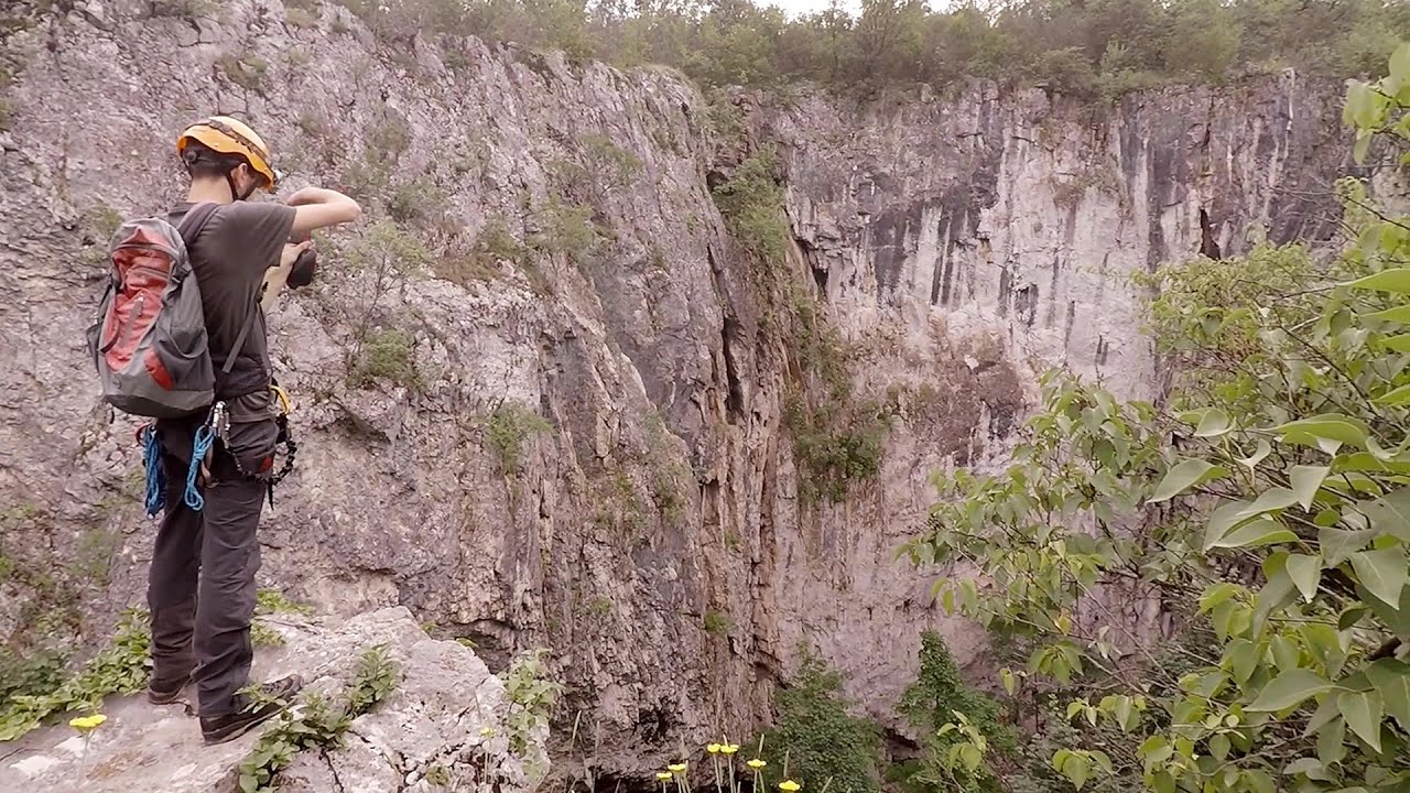
Black Rocks iron path - Bihor Mountains 47.5 km away. Black Rocks is located in the Bihor Mountains, near the Vartop Saddle, to the west of it. It is interesting that the locals (if I understood correctly) do not know this name, but use the name Piatra Buna (meaning Good Stone) for this spectacular rock.


Other places

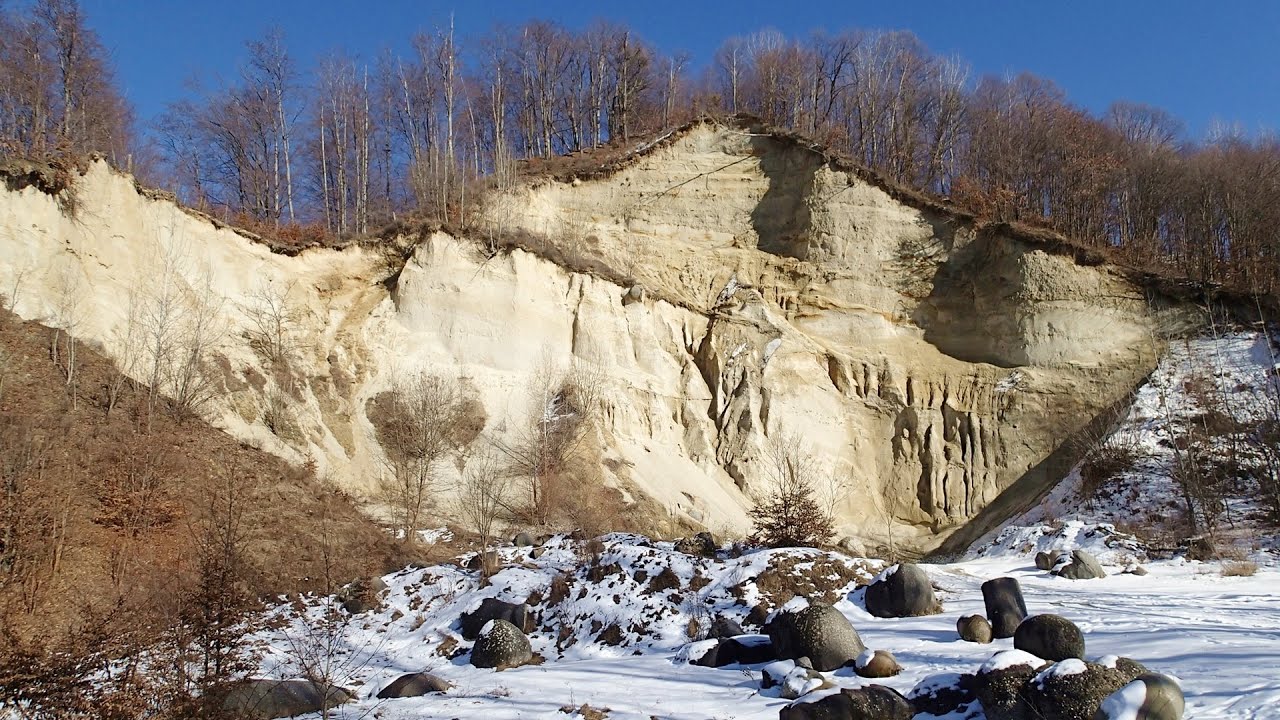
Stone Forest Slanchevo The Stone Forest (Stones stuck in the ground, Pobiti Kamani) of Bulgaria is located 18 km west of Varna, at the foothills of the Eastern Balkan Mountains. Its Bulgarian name, Pobiti Kamani, translates to planted stones, and it is referred to in English as the Stone Desert or Stone Forest.
Giant Ice Cave Dachstein Salzkammergut, Obertraun am Hallstättersee The second cave accessible to the public at the Schönbergalm above Obertraun on Lake Hallstatt is the Giant Ice Cave (Rieseneishöhle). For me, it was more spectacular than the Mammoth Cave.

SkiGyimes ski slope Lunca de Sus 264.5 km away. It is well-known that in Rimetea, due to the Piatra Secuiului (Szekler's Rock) mountain, the Sun rises twice. However, perhaps few know that in Lunca de Sus, the Sun sets three times.
Lednica iron path Brestnitsa 361.9 km away. The Lednica via ferrata is located next to the Saeva Dupka Cave, near the village of Brestnitsa in Bulgaria. The trail leading to the via ferrata, which opened in 2007, starts from the cave parking lot next to a covered resting area.
Lookout platform Kis-Tubes Western Mecsek 336.2 km away. The lookout platform at Kis-Tubes, located at an altitude of 577 meters, was built in 1959, and offers a magnificent panorama of Pécs at the foot of the hills. The concrete lookout, situated on the western side of the Kis-Tubes peak along the ridge connecting Misina to Tubes, was designed by Tibor Kiss.

Preachers Rock Bodoc Mountains 256.6 km away. In the Bodoc Mountains, west-southwest from the Henter peak, we find a rock formation shaped like a mushroom by erosion, called Preacher's Rock. This 2-meter high rock probably got its name from the pagan Hungarian priests, who preached here in the past.

TV-radio amplifying station Harghita Ciceu 237.1 km away. The hiking trail marked with a blue stripe starts at the Uz Bence shelter and runs from Harghita-Bai to Harghita Madaras. Our destination today is the Harghita Ciceu plateau.
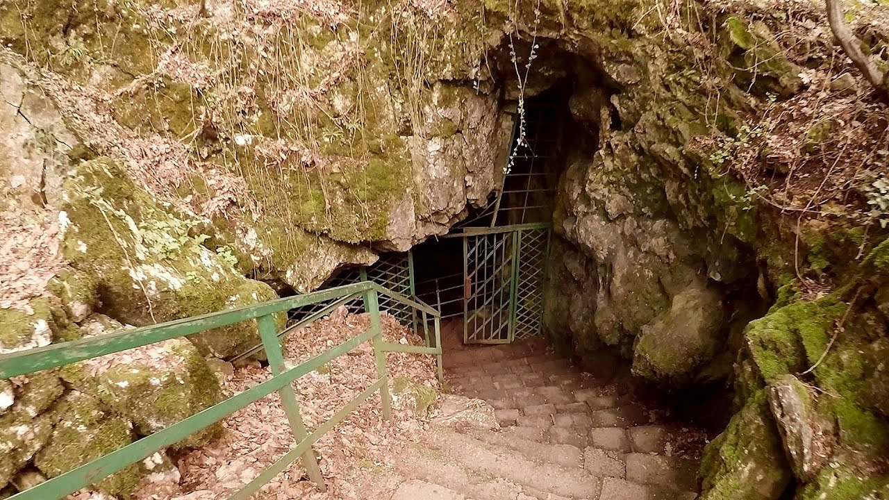
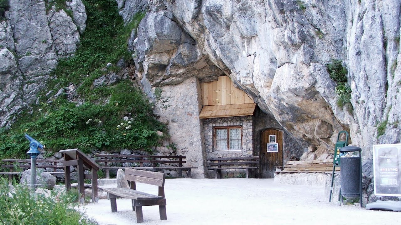
Saeva Dupka cave Brestnitsa 362 km away. The Saeva Dupka Cave is located 2 km south of the village of Brestnitsa. In its five chambers and 400 meters of passageways, you can see the most beautiful cave formations in Bulgaria.
[ Top ↑ ]
Copyright © 2003-2026 Trekkingklub and friends. Reproduction of any text, picture or video from this website, either in printed or electronic form, is prohibited without prior written permission. Website made with love  in Miercurea Ciuc.