Tourist attractions near Slanic (Slanic, Prahova county, Romania)
Photos of nearby places


Chiojdu (18 photos) 24.67 km away
Basca cu Cale - La Sipot waterfall - Basca fara Cale - Tata Lice boarding-house - Chiojdu village.


[ Top ↑ ]
Videos of nearby places
Foamy valley waterfall (Cascada Valea Spumoasa) - Bucegi Mountains 38.75 km away
Access to the Foamy valley waterfall (Cascada Valea Spumoasa) is made from the town of Busteni. The starting point is the lower station of the cable car that ascends to the Babele cabin.
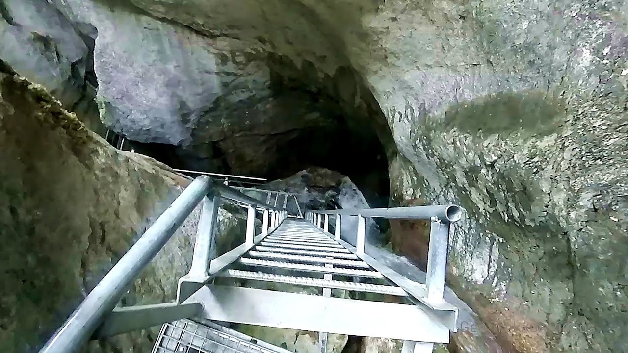
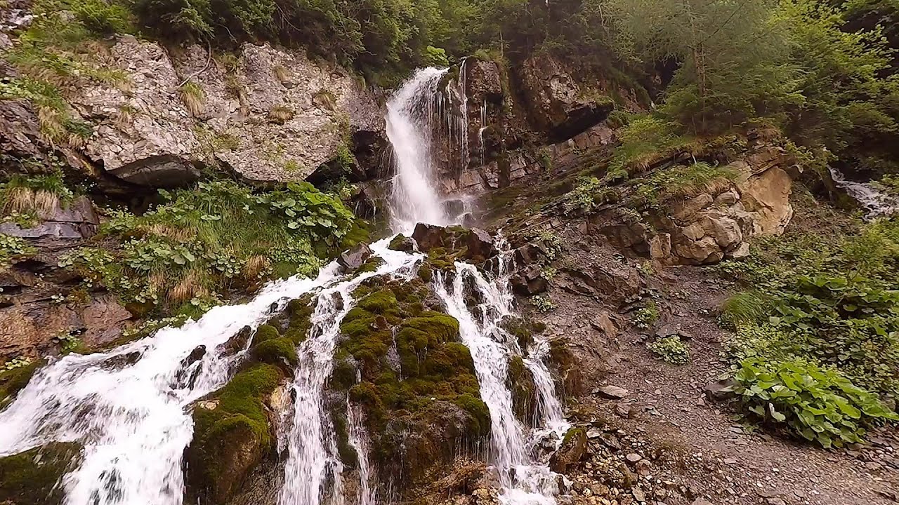
Seven Ladder Canyon and Waterfall - Piatra Mare Mountain 43.33 km away
The Seven Ladder Gorge is the largest and most spectacular gorge in the Piatra Mare massif. The narrow canyon has a length of 160 meters, and over a drop of 58 meters includes 7 bigger and several smaller waterfalls.
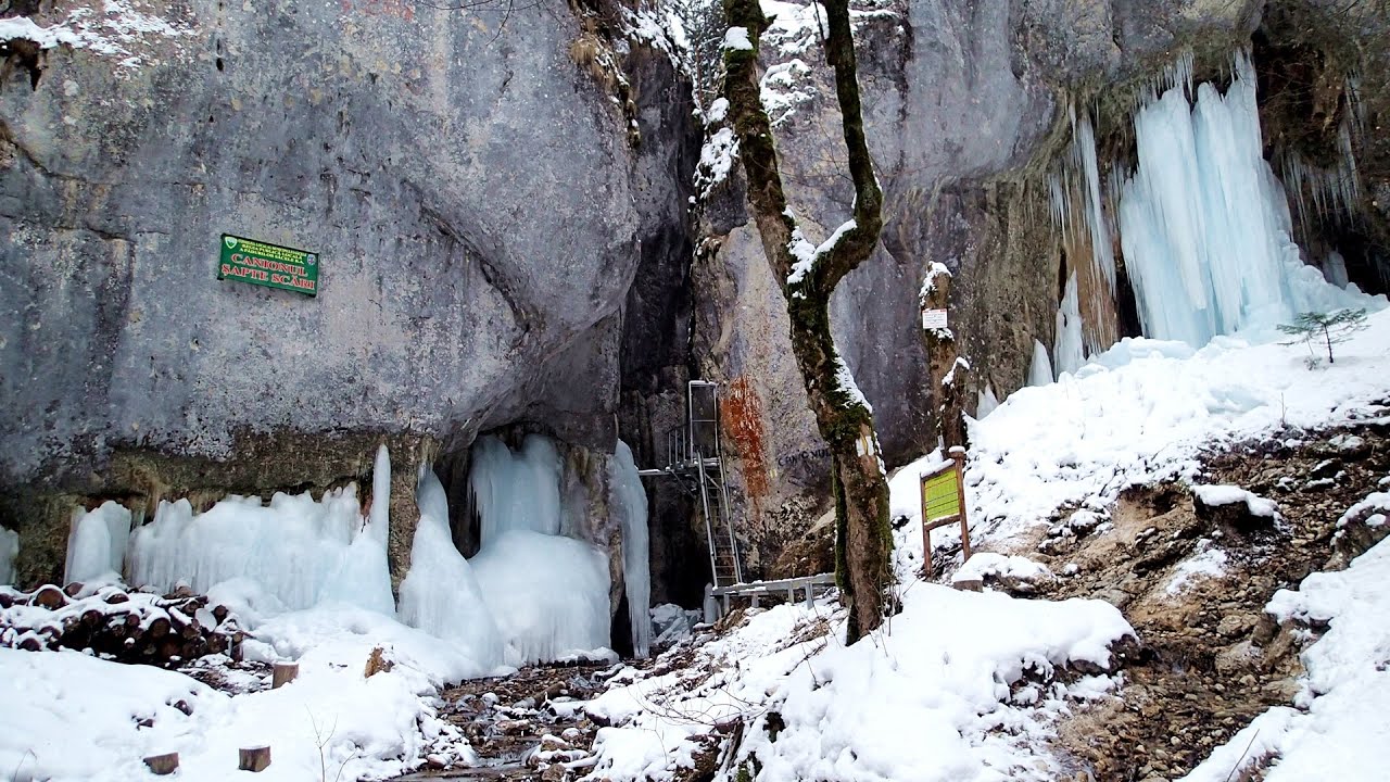
Seven Ladder Canyon in Winter - Piatra Mare Mountain 43.47 km away
Seven Ladder Canyon and Waterfall in Winter - Piatra Mare Mountain
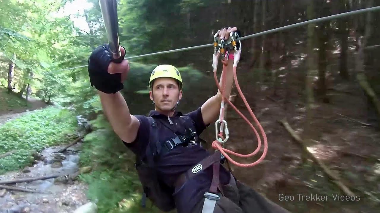
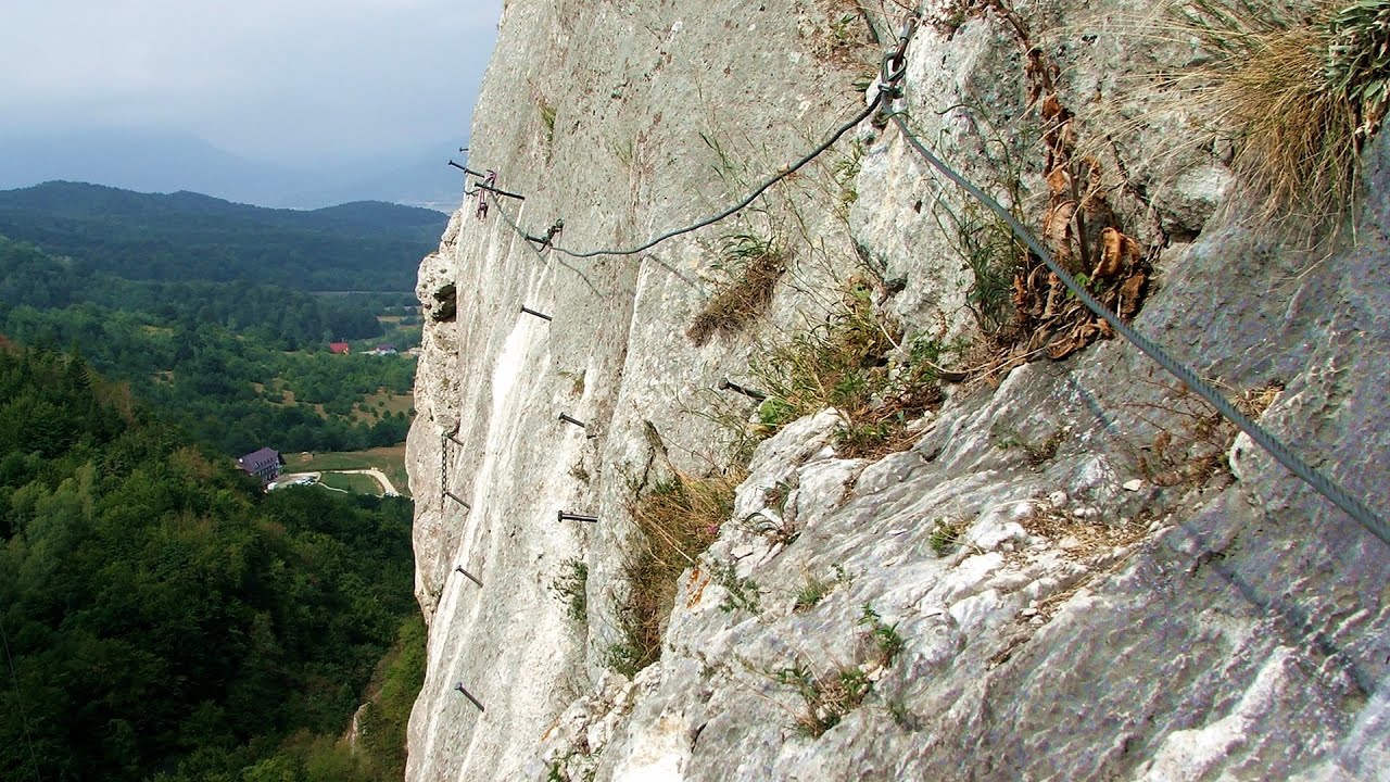
Big Via ferrata Rasnoavei Gorges 47.63 km away
The most dangerous Eastern European iron path, and also one of the most beautiful via ferrata routes in Romania, is in the Rasnoavei Gorges, Postavaru Mountains.The route is 450 m long, with a level difference of 220 m.
Other places
Little Spiral iron path Baia de Fier 171.52 km away
Rocher de l'envers iron path Saint Vincent de Mercuze, Isére, Rhône Alps 1559.21 km away
The Rocher de l'envers via ferrata is located in a beautiful environment, above Saint-Vincent-de-Mercuze, in France. Several beautiful and large waterfalls, as well as several small cascades, make it attractive.
The Rocher de l'envers via ferrata is located in a beautiful environment, above Saint-Vincent-de-Mercuze, in France. Several beautiful and large waterfalls, as well as several small cascades, make it attractive.
Hot Air Balloon Parade 2018 Campu Cetatii 174.76 km away
This year, the hot air balloons flew low over Campu Cetatii. The weather did not really favor the parade.
This year, the hot air balloons flew low over Campu Cetatii. The weather did not really favor the parade.
Kodzha in (Golyamata Peshtera, Big Cave) Nochevo 378.34 km away
Vadu Crisului cave 326.65 km away
The Vadu Crisului Cave, with a total length of over 1000 meters, is located in the picturesque gorge of Crisul Repede creek. It consists of a gently meandering, long passage that features an active, stream level next to an upper, fossil level in its first section.
The Vadu Crisului Cave, with a total length of over 1000 meters, is located in the picturesque gorge of Crisul Repede creek. It consists of a gently meandering, long passage that features an active, stream level next to an upper, fossil level in its first section.
[ Top ↑ ]
Copyright © 2003-2025 Trekkingklub and friends. Reproduction of any text, picture or video from this website, either in printed or electronic form, is prohibited without prior written permission. Website made with love  in Miercurea Ciuc.