Tourist attractions near Malaia (Malaia, Valcea county, Romania)
Photos of nearby places


Doabra Snail Shells - Brezoi (12 photos) 15.64 km away
Doabra Valley - Calinesti-Brezoi forest - Lotru Valley, Cozia National Park

Circular hiking tour in Cozia Mountain (48 photos) 23.12 km away
Arutela - Turnu monastery - Rosiei Rocks - Turneanu ridge - Cozia peak - Stone portal - Stanisoara monastery - Gardului waterfall.


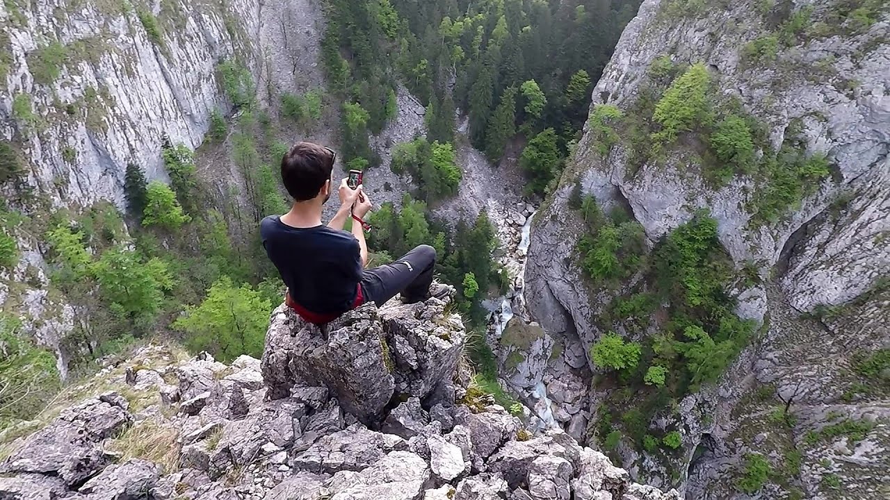
Women's Cave (Pestera Muierii) - Parang Mountains (11 photos) 28.81 km away
The Cave of Women (Pestera Muierii, Pestera Muierilor) is located at the southern foot of the Parang Mountains, in the area of Baia de Fier in Gorj County. There are several climbing routes established on the rocks above the cave and on the other side of the road.

[ Top ↑ ]
Videos of nearby places
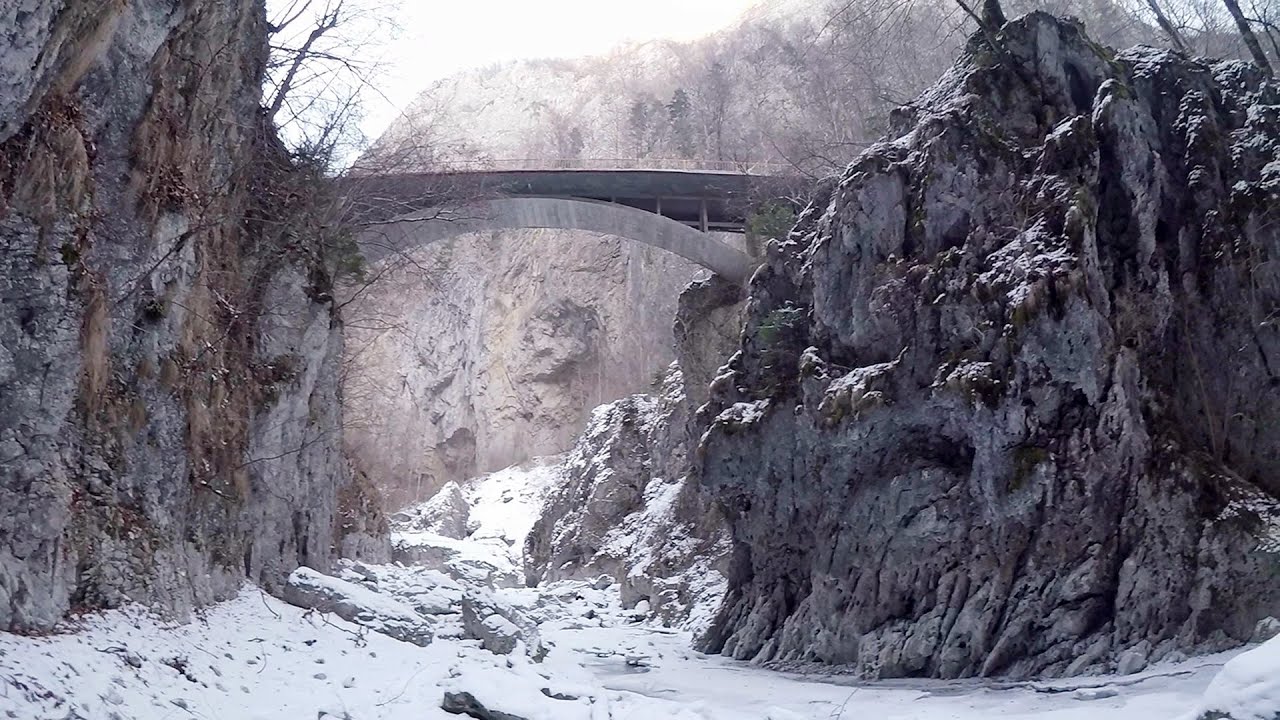
Key Gorge (Cheii Gorge, Cheile Cheii) - Buila-Vanturarita National Park, Capatana Mountains 11.56 km away
The Key Gorge (Cheii Gorge, Cheile Cheii) is located in the Buila-Vanturarita National Park within the Capatana Mountains. It is one of the most beautiful and picturesque gorges in Romania.
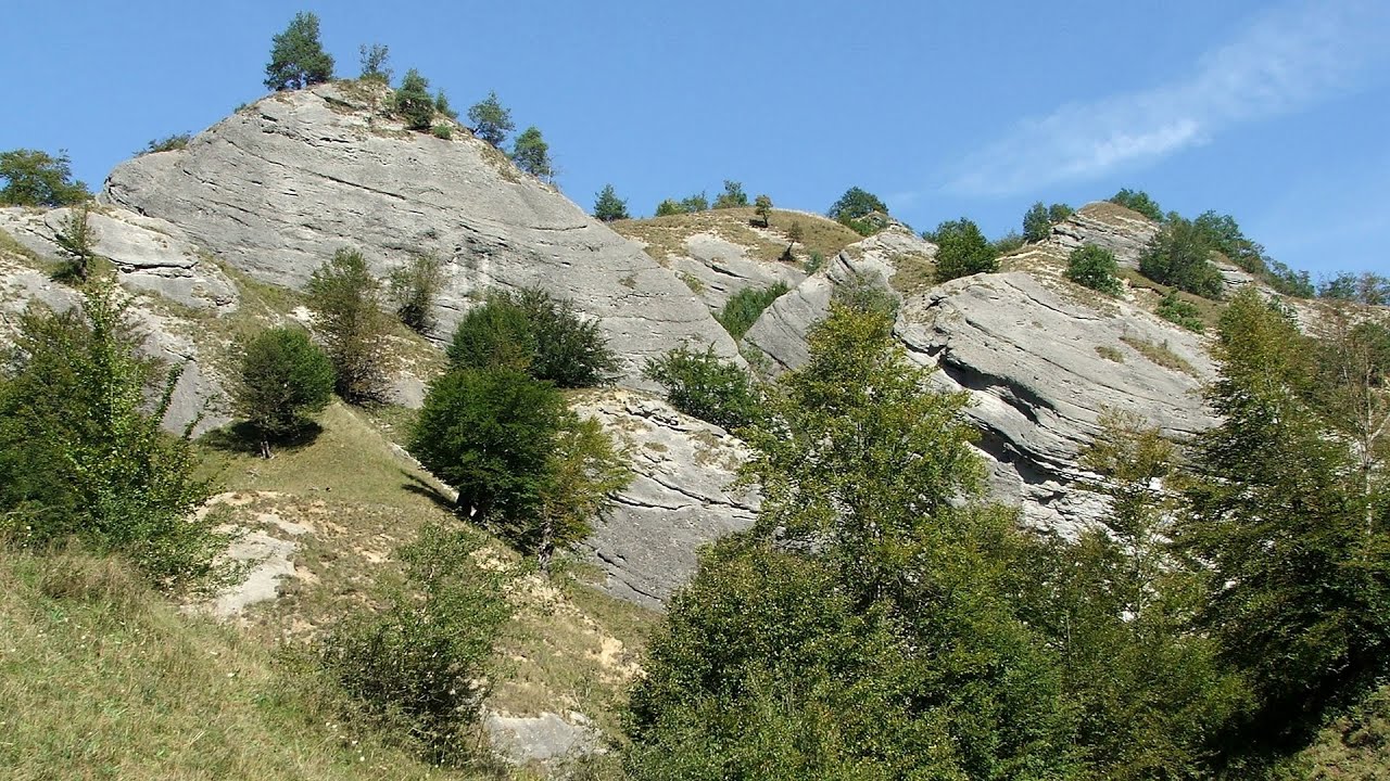
Doabra Stones - Brezoi, Lotru Mountains 15.77 km away
The DN7A road branches off west from the Olt Valley, from the main road between Sibiu and Ramnicu Valcea, leading towards Voineasa and Lake Vidra. The first settlement is a small town, Brezoi, which is located at the confluence of the Lotru and Olt rivers.
Oltet Gorges (Cheile Oltetului) - Capatana Mountains 26.36 km away
That day, we had planned to ski at the Ranca resort, situated alongside the Transalpina high altitude mountain road in the Parang Mountains. Unfortunately, the very small snowfall made skiing unfeasible, so we had to find an alternative activity on our way home.
Other places
The Gorges of the Méouge Ribiers, Upper Alps 1441.38 km away
Following today's climb, I experienced the soothing pleasure of immersing myself in the turquoise waters of the Méouge creek, in the pond beneath a waterfall. If you find yourself in Sisteron or Grenoble, do not miss the opportunity to explore the magnificent Méouge valley near Ribiers.
Following today's climb, I experienced the soothing pleasure of immersing myself in the turquoise waters of the Méouge creek, in the pond beneath a waterfall. If you find yourself in Sisteron or Grenoble, do not miss the opportunity to explore the magnificent Méouge valley near Ribiers.
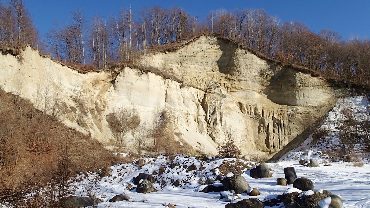
Waterfalls of Velnita stone-quarry Targu Ocna 220.7 km away
Starting from the Velnita quarry, an adventurous nature enthusiast, accustomed to wild and rugged terrains, will discover a true waterfall paradise. At the upper part of the quarry, two streams converge.
Starting from the Velnita quarry, an adventurous nature enthusiast, accustomed to wild and rugged terrains, will discover a true waterfall paradise. At the upper part of the quarry, two streams converge.
Big Via ferrata Rasnoavei Gorges 117.01 km away
The most dangerous Eastern European iron path, and also one of the most beautiful via ferrata routes in Romania, is in the Rasnoavei Gorges, Postavaru Mountains.The route is 450 m long, with a level difference of 220 m.
The most dangerous Eastern European iron path, and also one of the most beautiful via ferrata routes in Romania, is in the Rasnoavei Gorges, Postavaru Mountains.The route is 450 m long, with a level difference of 220 m.
Leopoldsteiner lake Eisenerz, Steiermark 745.04 km away
Leopoldsteiner See is located in Styria, 4 km northwest of the town of Eisenerz. It lies at an elevation of 628 meters above sea level in the western part of the Hochschwab mountain range, at the foot of the Seemauer cliff.
Leopoldsteiner See is located in Styria, 4 km northwest of the town of Eisenerz. It lies at an elevation of 628 meters above sea level in the western part of the Hochschwab mountain range, at the foot of the Seemauer cliff.
Five Fingers, World NATURE Heritage Lookout, World Heritage Spiral, Dachstein Shark 828.38 km away
The second station of the cable car departing from Obertraun is the Krippenstein peak (2100 m). Here you can find the famous Five Fingers (5fingers) lookout, which offers a unique view of Hallstatt and Obertraun below, as well as the Hallstättersee lake.
The second station of the cable car departing from Obertraun is the Krippenstein peak (2100 m). Here you can find the famous Five Fingers (5fingers) lookout, which offers a unique view of Hallstatt and Obertraun below, as well as the Hallstättersee lake.
[ Top ↑ ]
Copyright © 2003-2025 Trekkingklub and friends. Reproduction of any text, picture or video from this website, either in printed or electronic form, is prohibited without prior written permission. Website made with love  in Miercurea Ciuc.